September 16 – 18, 2022
UPDATE: Captain Pat and Admiral Cindy have arrived home to Boca Raton! We arrived early Wednesday morning, September 27, on a flight from Buffalo, New York. We will post three more blogs of our last stops in Georgian Bay – our final days in Penetanguishene, with special guests – Pat’s sister Kathleen and her husband, Bill; the haul out of Sunshine to her winter home at Harbour West Marina; and a summary of our Part One – The Great Loop. Stay tuned for those!
Here’s the blog on Lion’s Head and Beckwith Island:
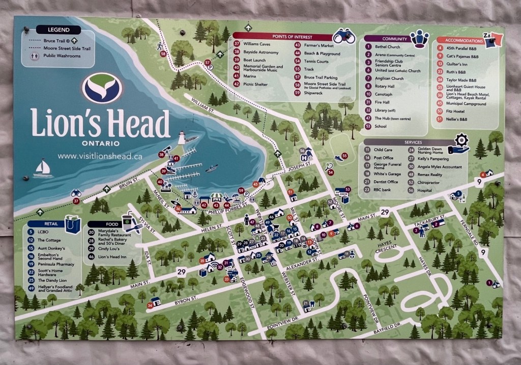
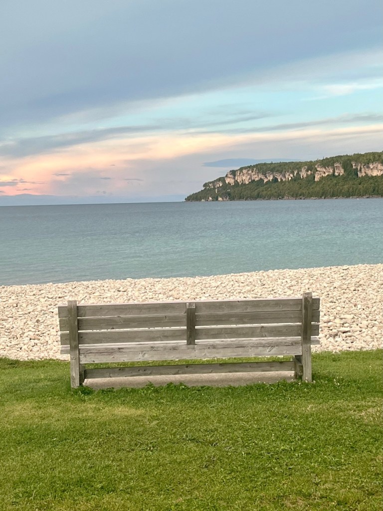
Lion’s Head is a quiet, pretty little village (population 597) on the shore of the Bruce Peninsula, about 16 miles south of Cabot Head. Its location on the 45th parallel puts it halfway between the equator and the North Pole.
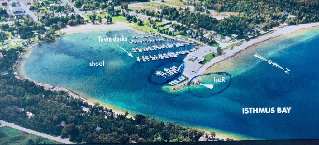
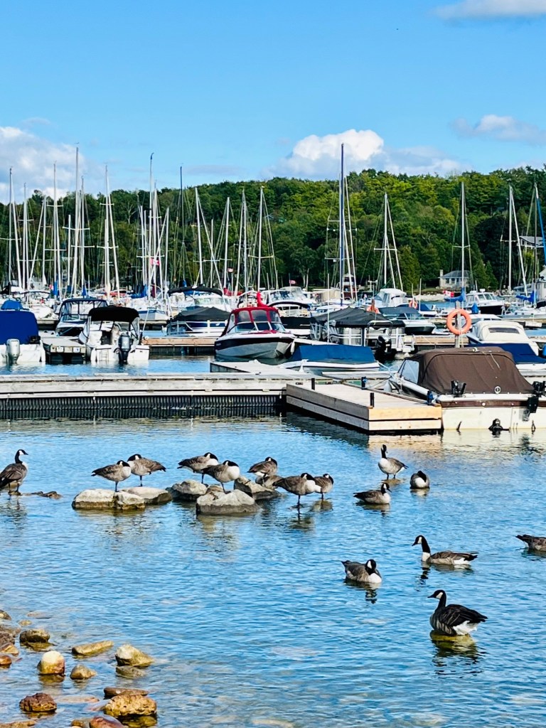
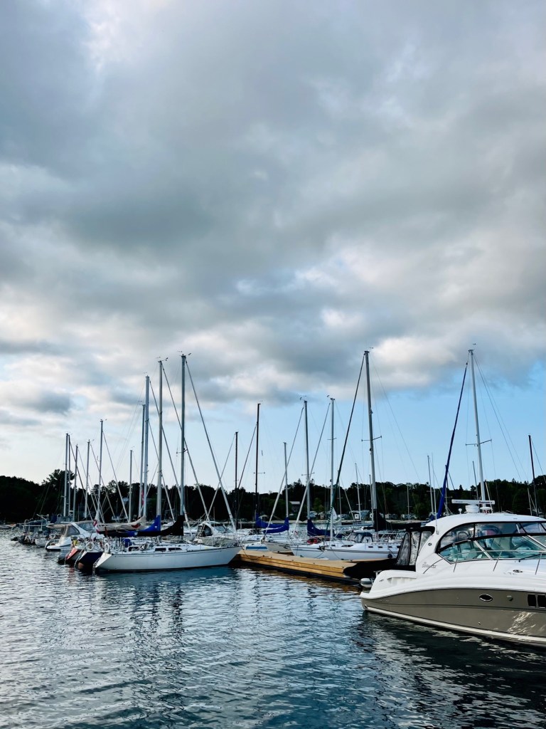
Next circle are the docks where Sunshine found a slip.
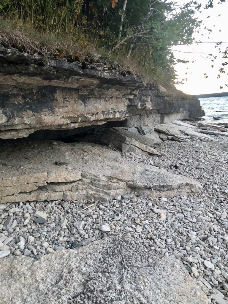
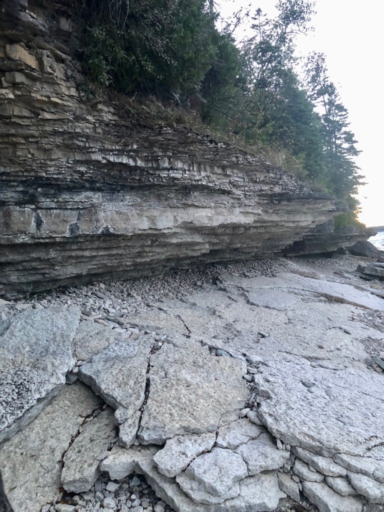
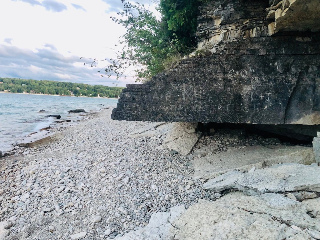
The lion-shaped overhanging limestone bluff (part of the Niagara Escarpment) from which the town takes it name is about 1 1/2 miles to the northeast. It once looked like a prone lion; however, the rocky nose of the feline has fallen off since the resemblance was first noticed. The scenic limestone cliffs, with a backdrop of coniferous forest for which the peninsula is famous, stretch from the head into town.
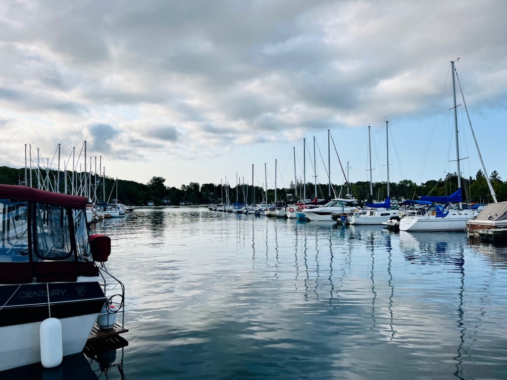
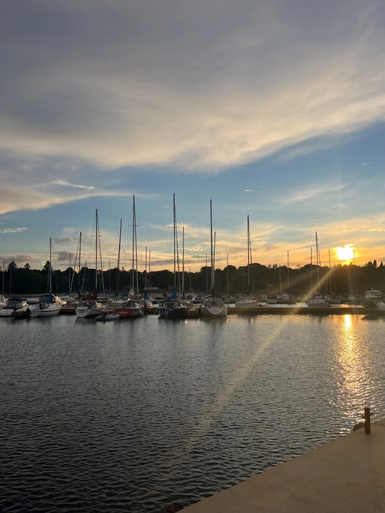
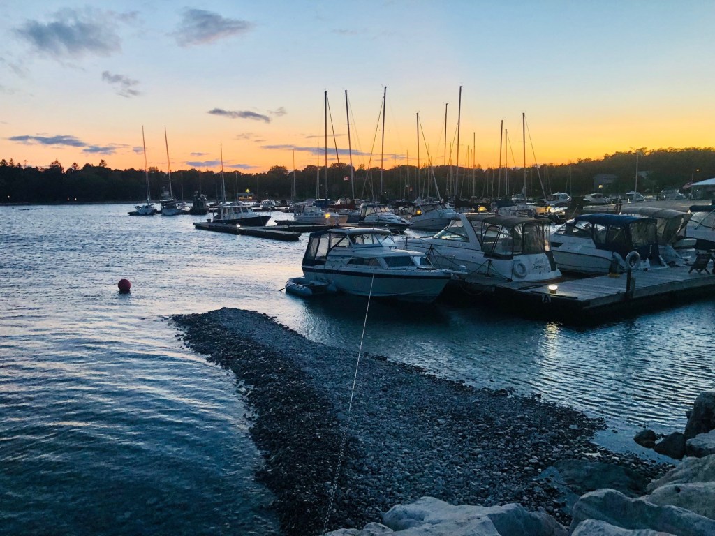
We departed Wingfield Basin and travelled 17 miles south to stay at the Lion’s Head Marina (the town docks.) Approaching Lion’s Head are no real hazards for small-boat cruisers, although you should avoid Jackson Shoal, about two miles northeast of Lion’s Head Point.
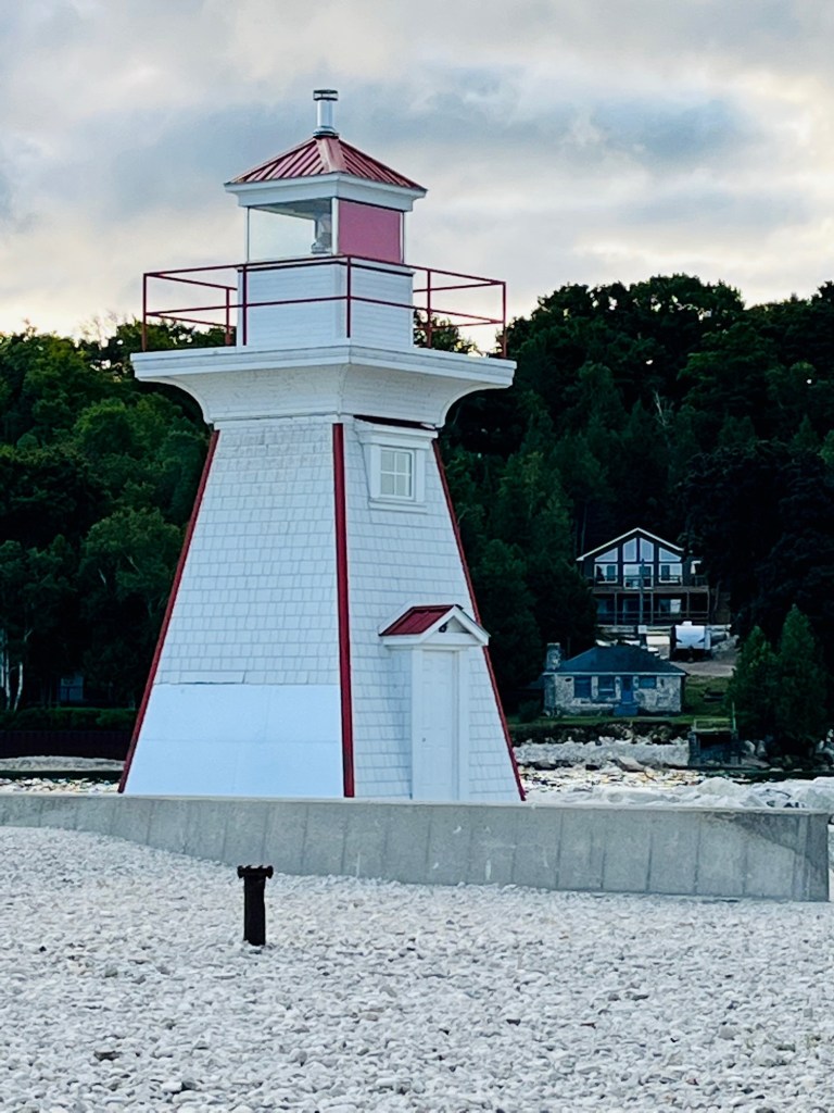
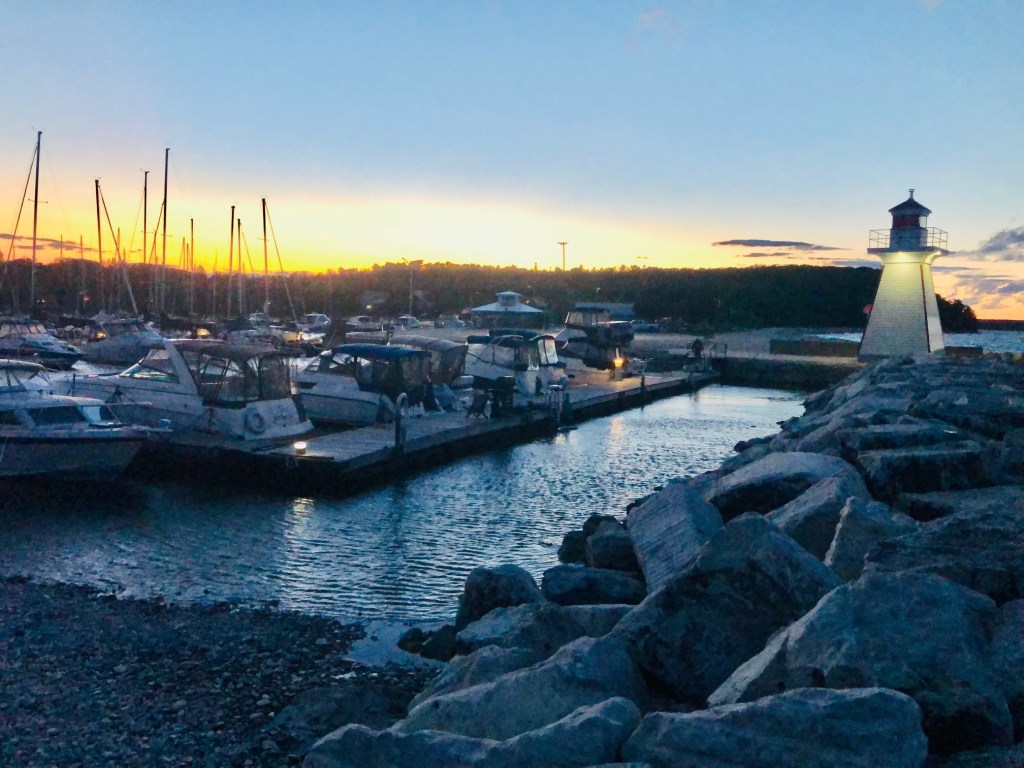
Approaching Lion’s Head harbour, you see a small white lighthouse with an isophase (equal phase) red light on the end of a concrete pier. This marks the harbour entrance.
We enjoyed our stay at this marina. There was a walkway from the marina into town. The town streets were mostly deserted, and restaurants and shops closed as the summer season comes to a close in early September.
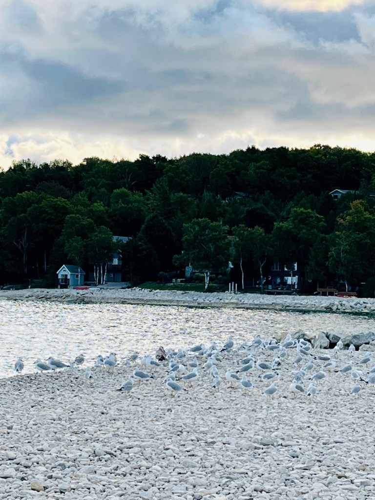
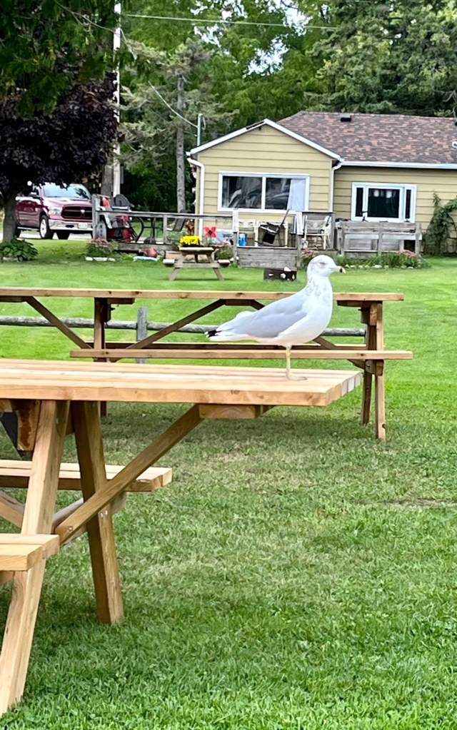
Along the walkway are planting beds to scare the Canadian geese and sea gulls away – see the explanation below.
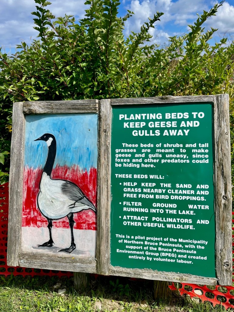
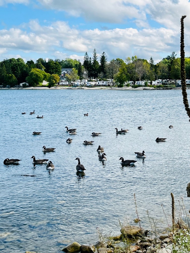
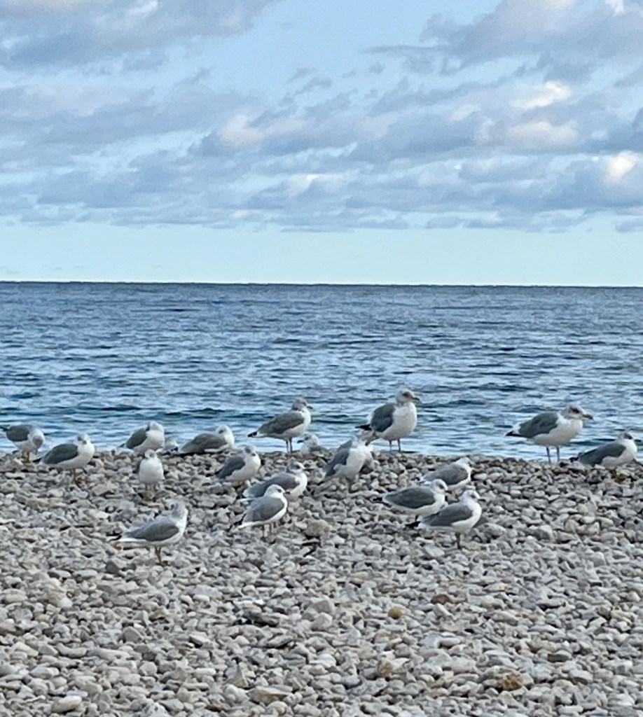
The weather turned chilly (50 degrees) and windy, causing the geese to congregate in water and along the beaches. Guess the planting beds didn’t do much!
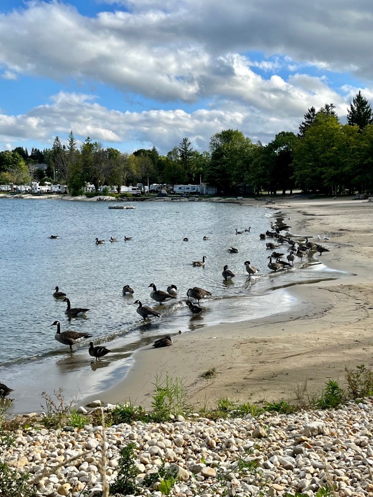
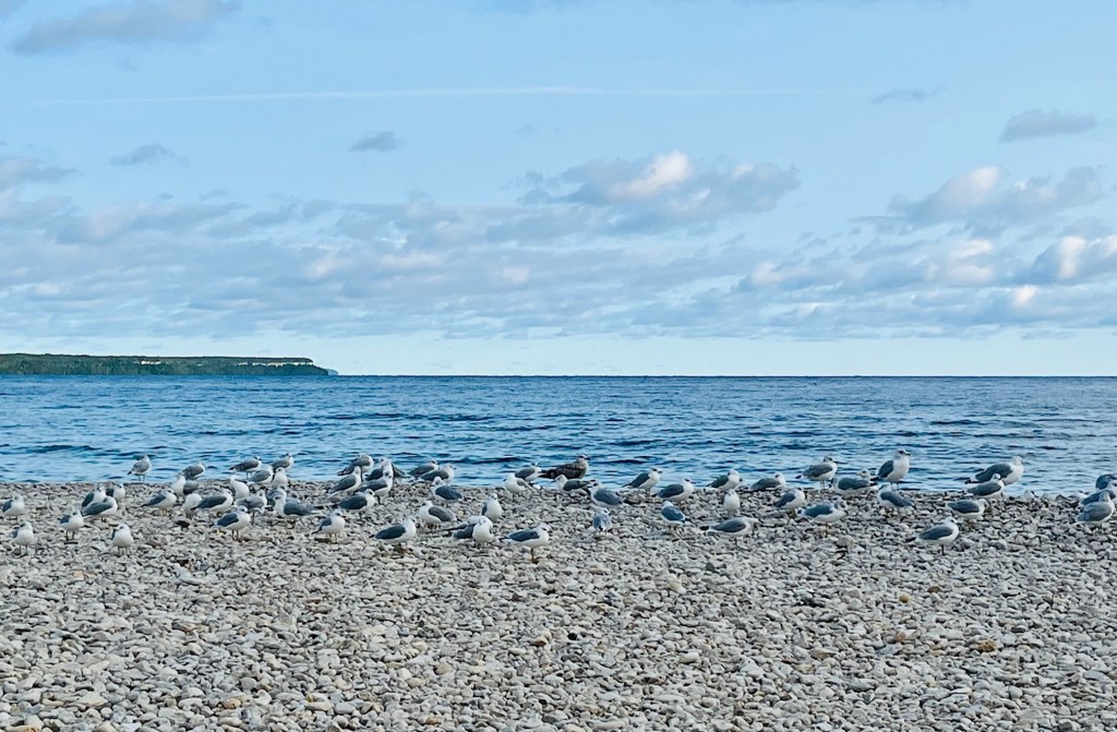
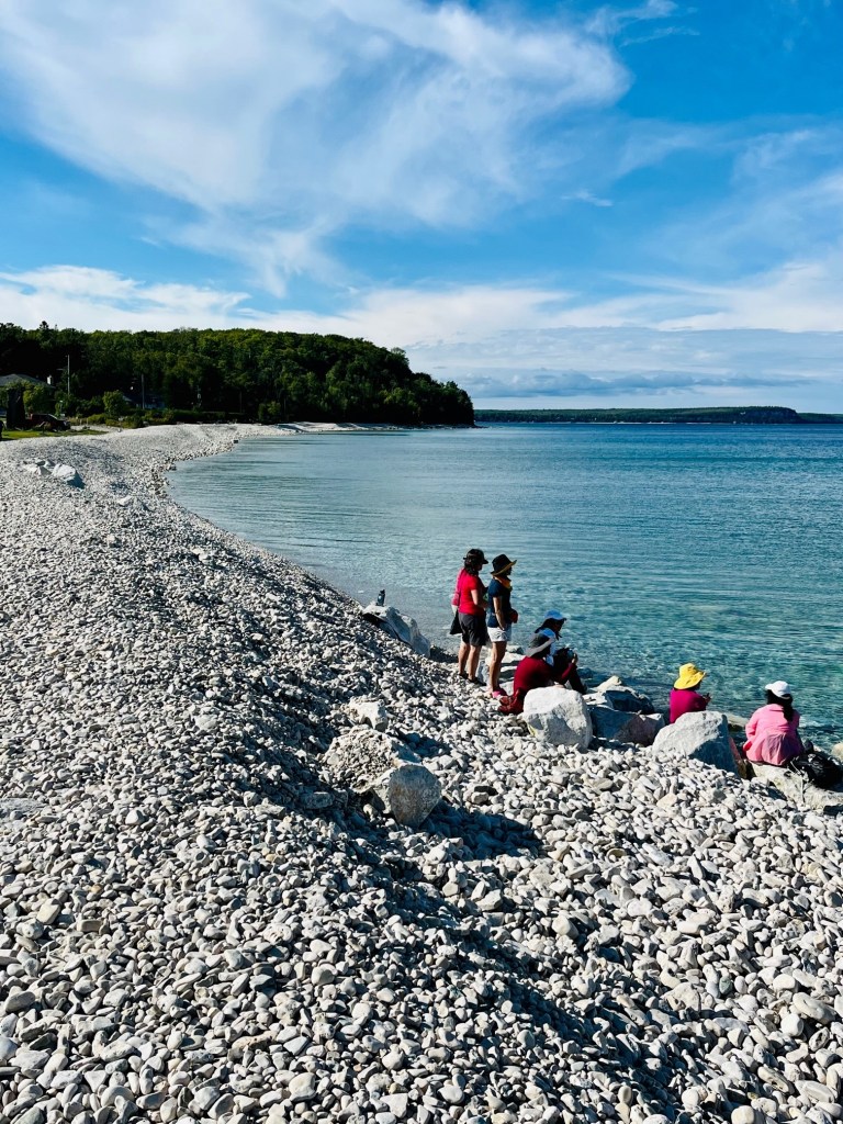
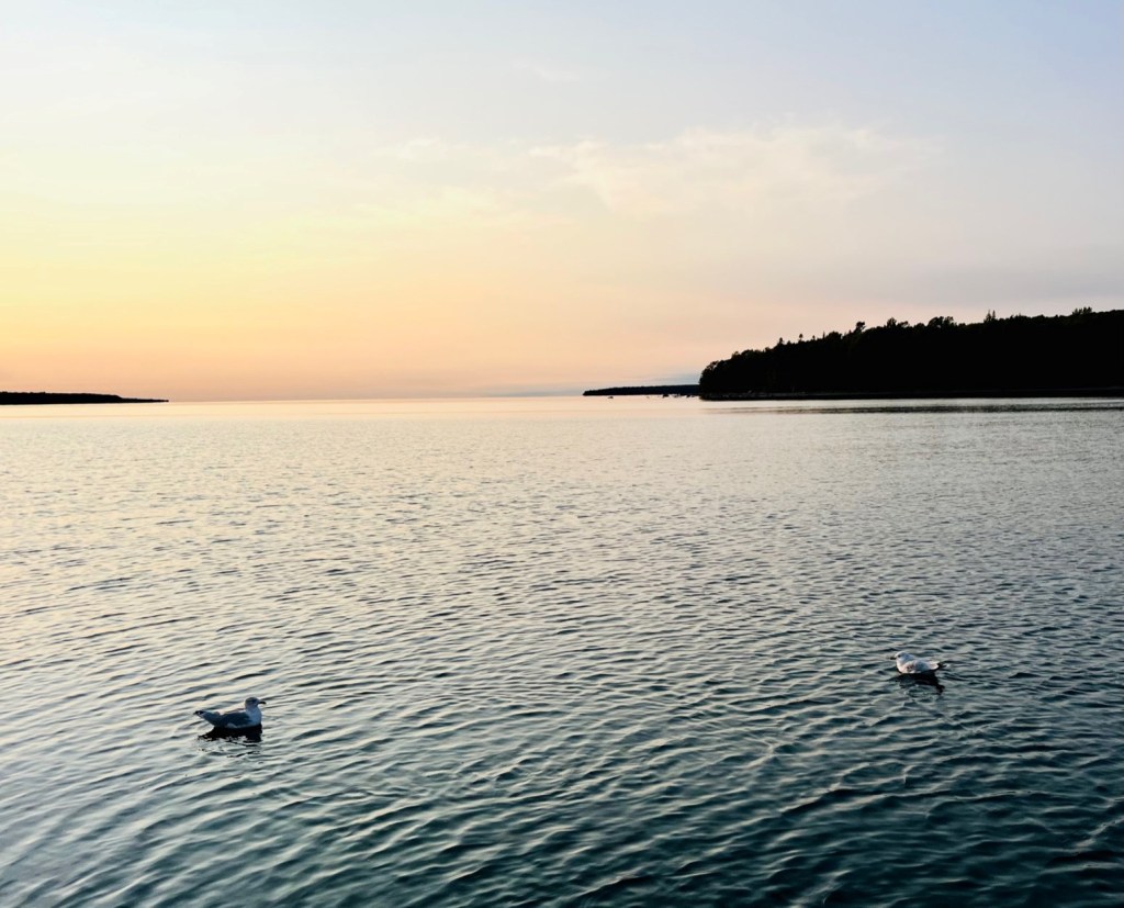
The seagulls also took refuge on the rocky beach located by the lighthouse.
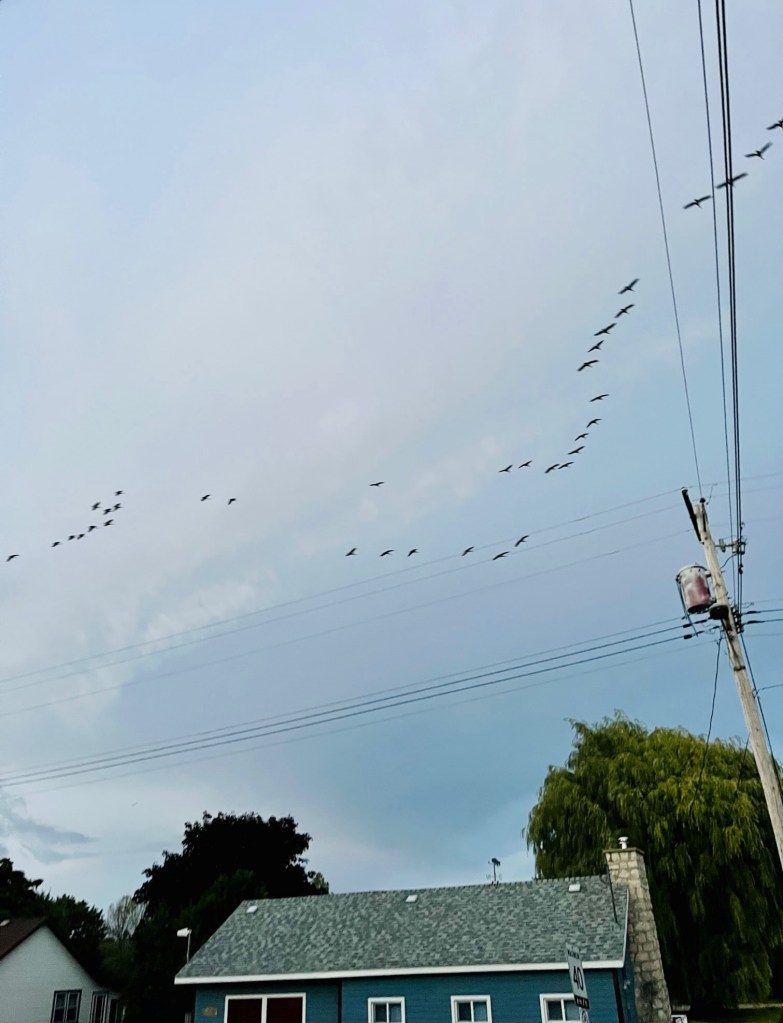
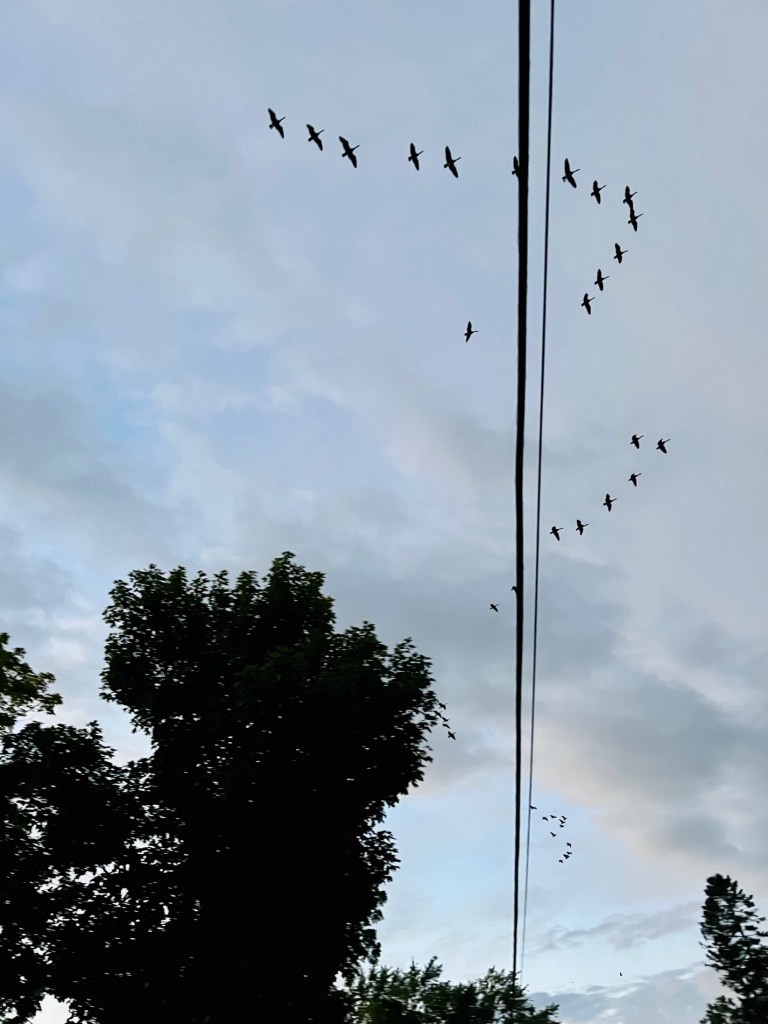
We also saw the Canadian geese take flight. I remarked to Captain Pat “look, the geese are taking their winter journey, flying south!” to which he replied, “Cindy, they are flying to the North.” Good thing he is driving the boat and not me!
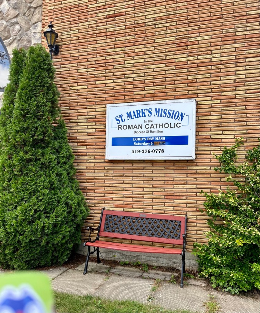
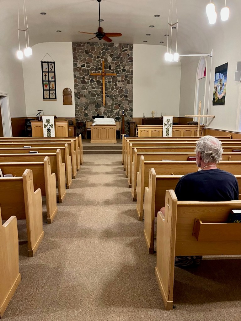
We walked to the grocery store and to a restaurant that also sells homemade dishes, where we bought delicious soups. We stumbled upon a church that offers services for both Catholic and United faith congregations.
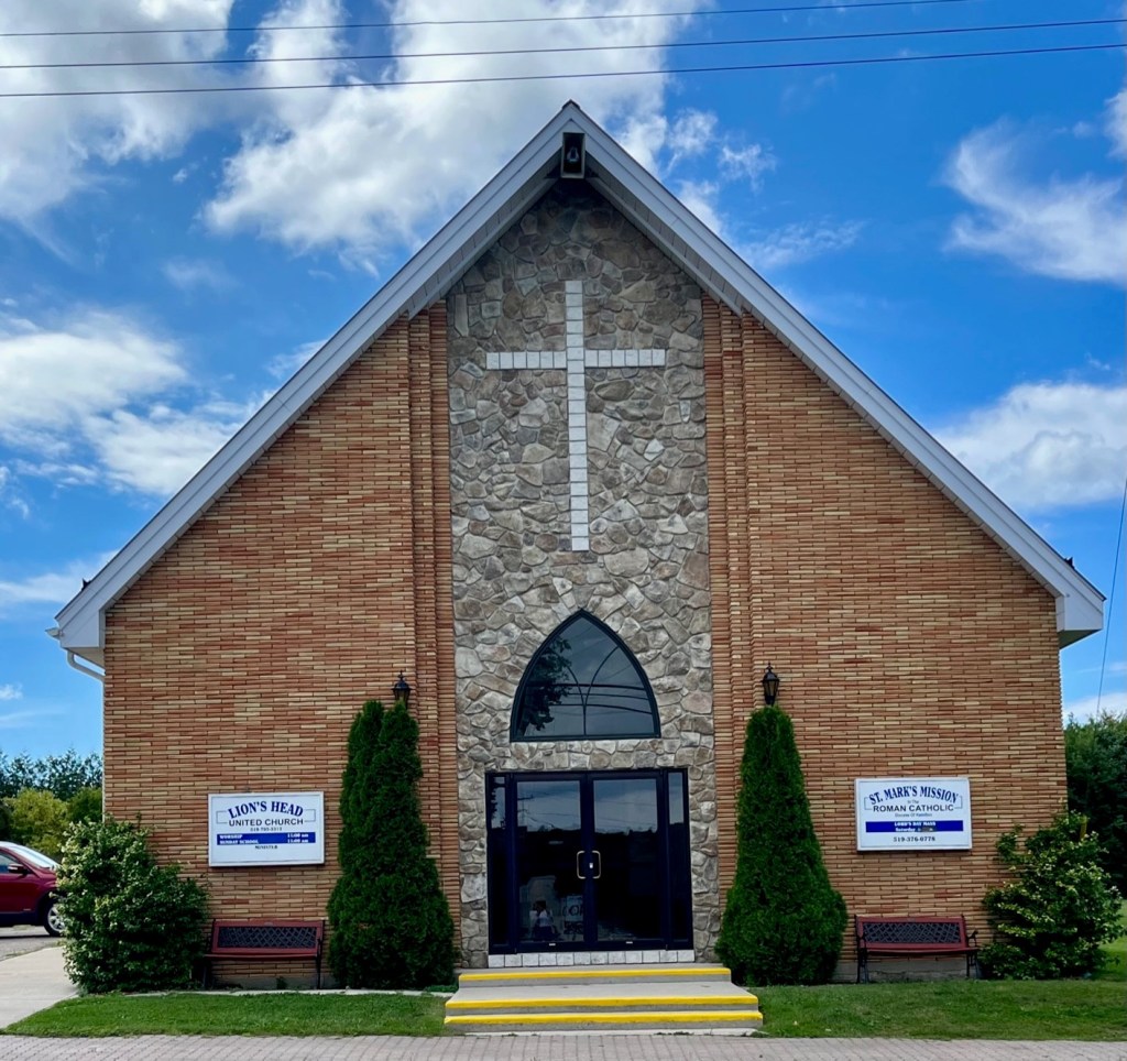
Just outside the church was a labyrinth – a walking meditation. I had never seen one. Captain Patrick explained what it was and said they have one at the Duncan Center in Delray Beach, where he takes an annual retreat.
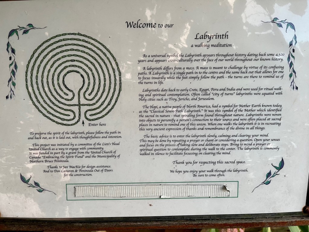
Here is an explanation of the labyrinth, taken from the plaque pictured above:
“As a universal symbol the Labyrinth appears throughout history dating back some 4,500 years and appears cross-culturally over the face of our world throughout our known history.
A labyrinth differs from a maze. A maze is meant to challenge by virtue of its confusing paths. A labyrinth is a single path in to the center and the same back out that allows for one to focus inwardly while the feet simply follow the path – the turns are there to remind us of the turns in life.
Labyrinths date back to early Crete, Egypt, Peru and India and were used for ritual walking and spiritual contemplation. Often called “city of turns” labyrinths were equated with Holy cities such as Troy, Jericho, and Jerusalem.
The Hopi, a native people of North America, had a symbol for Mother Earth known today as the “Classical Seven-Path Labyrinth.” It was this symbol of the Mother Earth which identified the sacred in nature – that spiraling form found throughout nature.
Labyrinths were woven into objects to personify a person’s connection to their source and were often placed at sacred places in nature to remind one of this union. When one walks the labyrinth it is in recreating this very ancient expression of thanks and remembrance of the divine in all things.
The basic advice is to enter the labyrinth slowly, calming and clearing your mind. This may be done by repeating a prayer or chant or considering a question. Open your senses and focus on the process of taking slow and deliberate steps. Bring to mind a prayer or spiritual question to contemplate during the walk to the center. The labyrinth is commonly walked in silence to facilitate focusing on clearing the mind.”

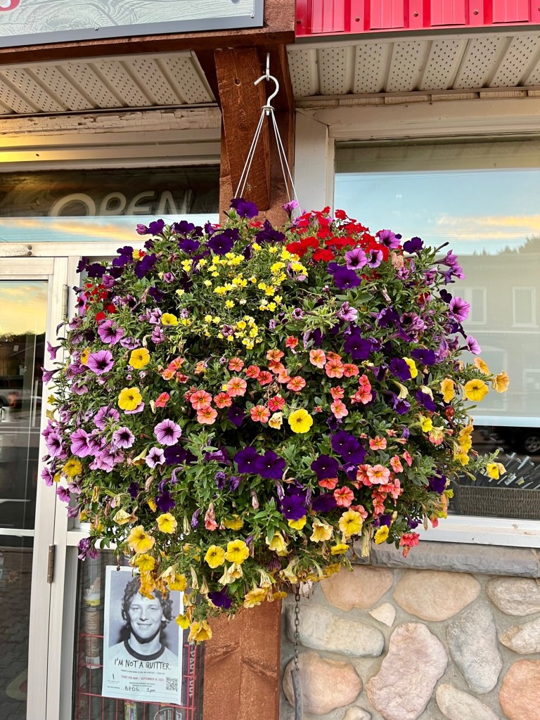
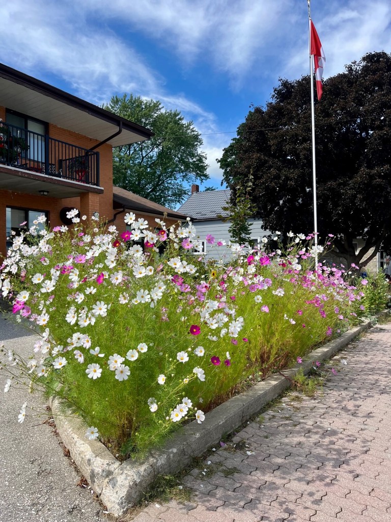
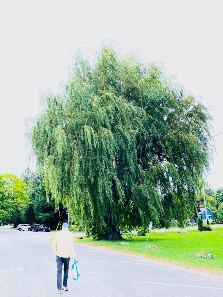
All of these little towns have such beautiful summer flowers in bloom.
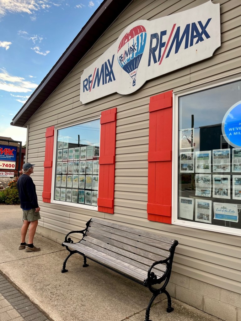
And Captain Pat found a real estate window to peruse.
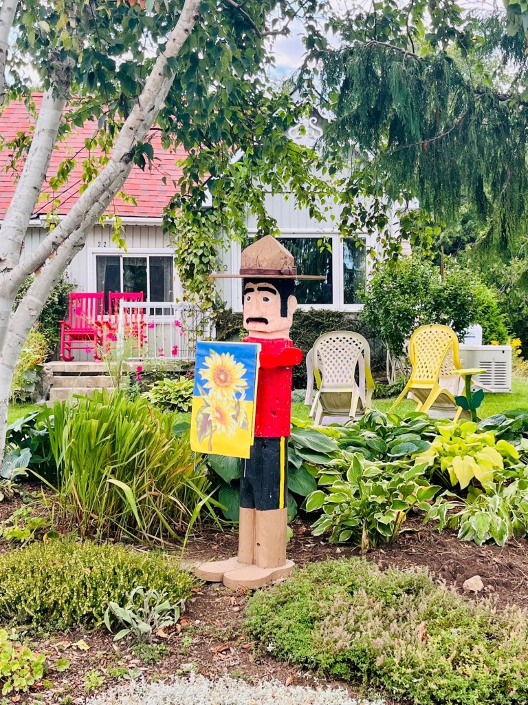
We passed old homes and this cute Canadian mountie!

Back at the marina, we noticed some people on the rocky beaches down from the lighthouse.

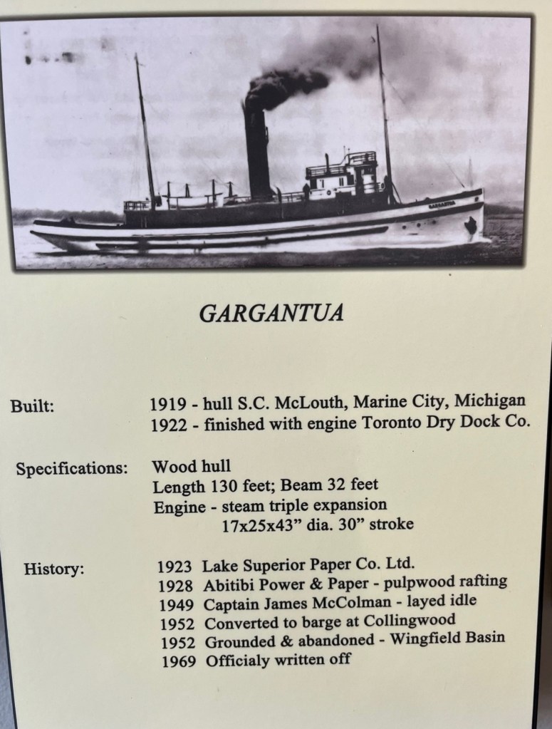
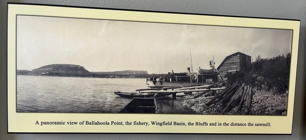
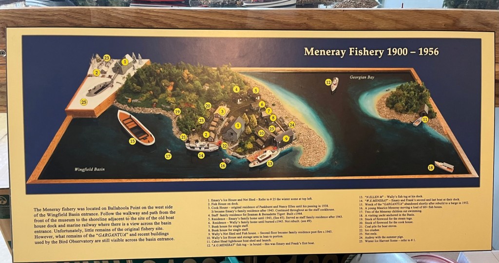
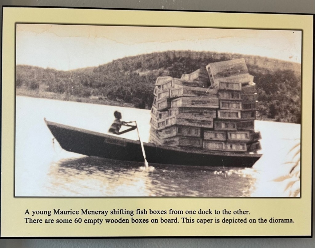
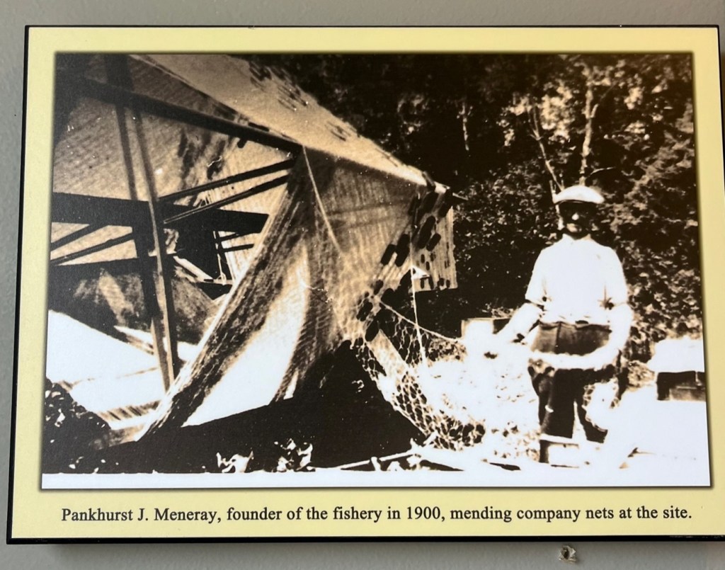
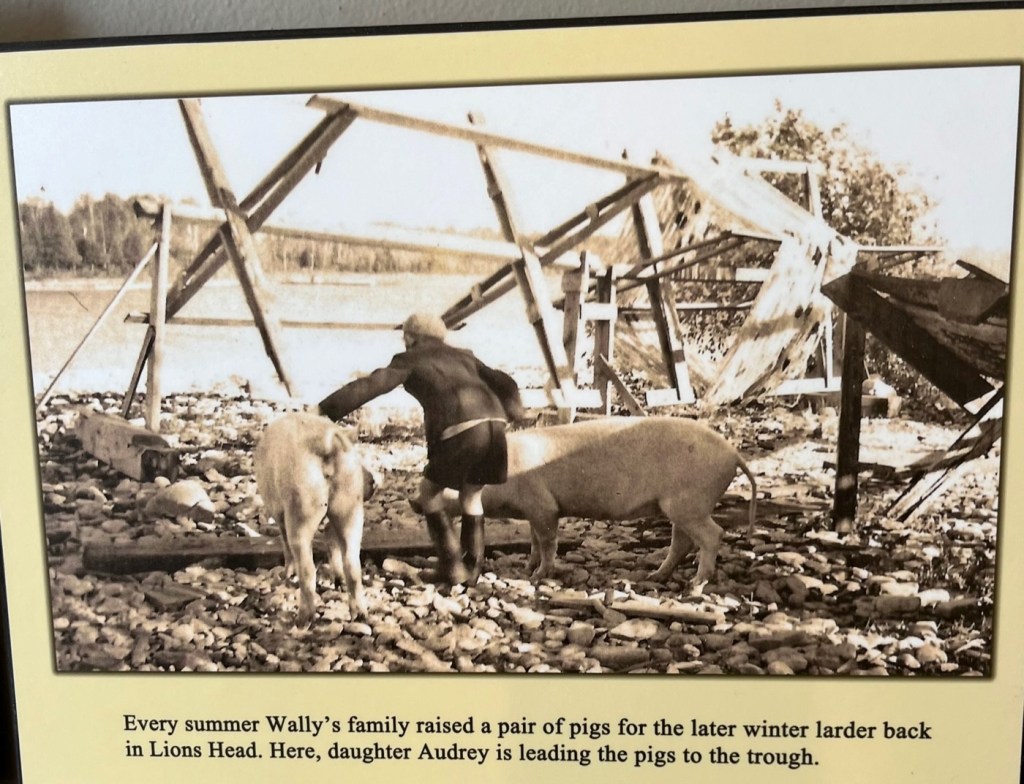
Do you remember in a previous post we mentioned a shipwreck – the Gargantua – in the Wingfield Basin? In the marina office at Lion’s Head is a wall tribute featuring photos and the history of the Meneray family, who established a commercial fishery in Wingfield Basin and wintered in Lion’s head.
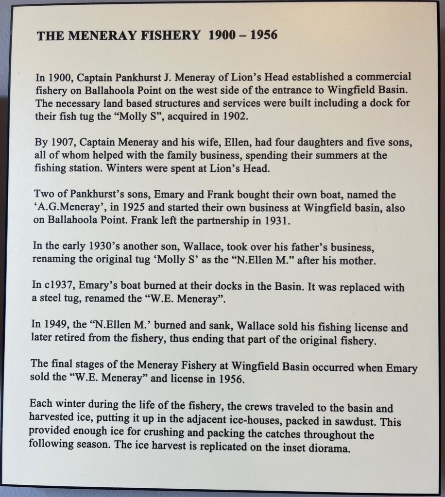
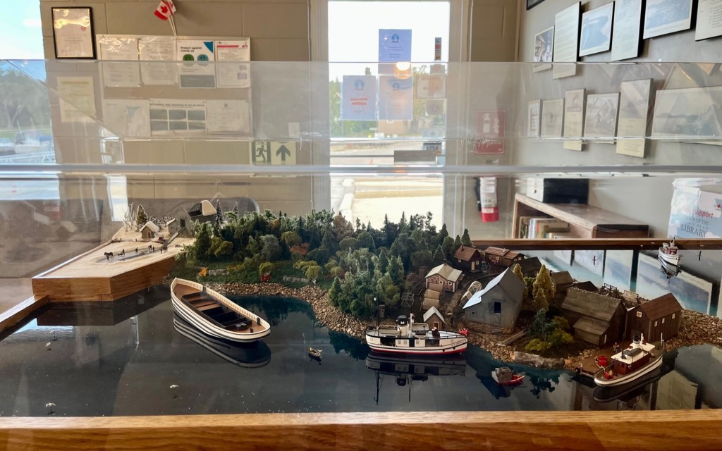
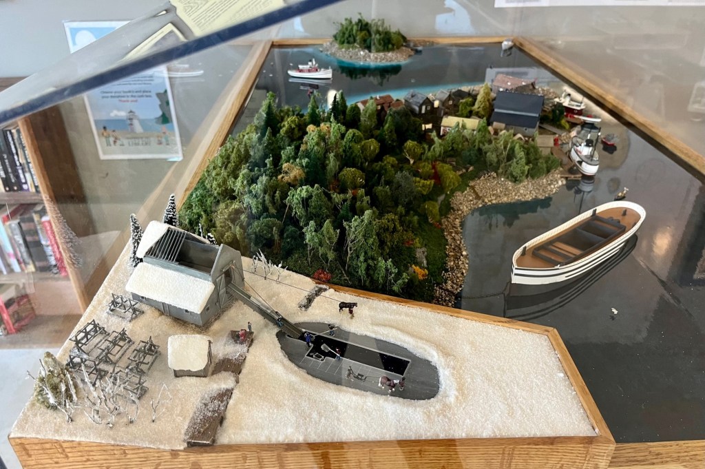
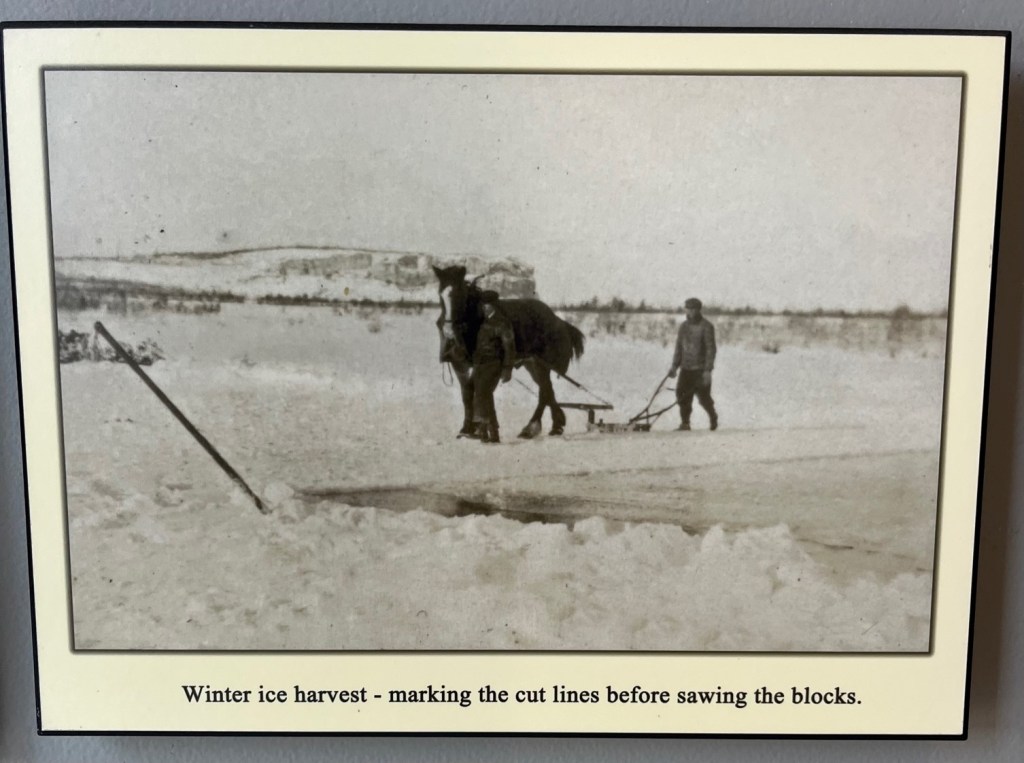
Inside the marina is a diorama that shows a replication of the “ice harvest.” Each winter during the life of the Meneray Fishery at Wingfield Basin, crews traveled to the basin and harvested ice, putting it up in the adjacent ice-houses, packed in sawdust. This provided enough ice for crushing and packing the catches throughout the following season. Their own “ice making” machines!

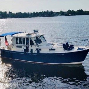
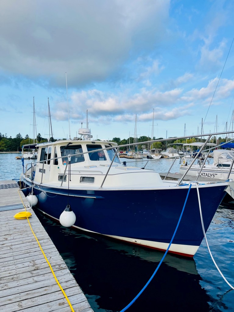
What a magnificent boat!
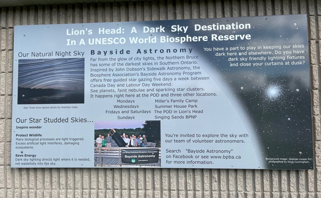
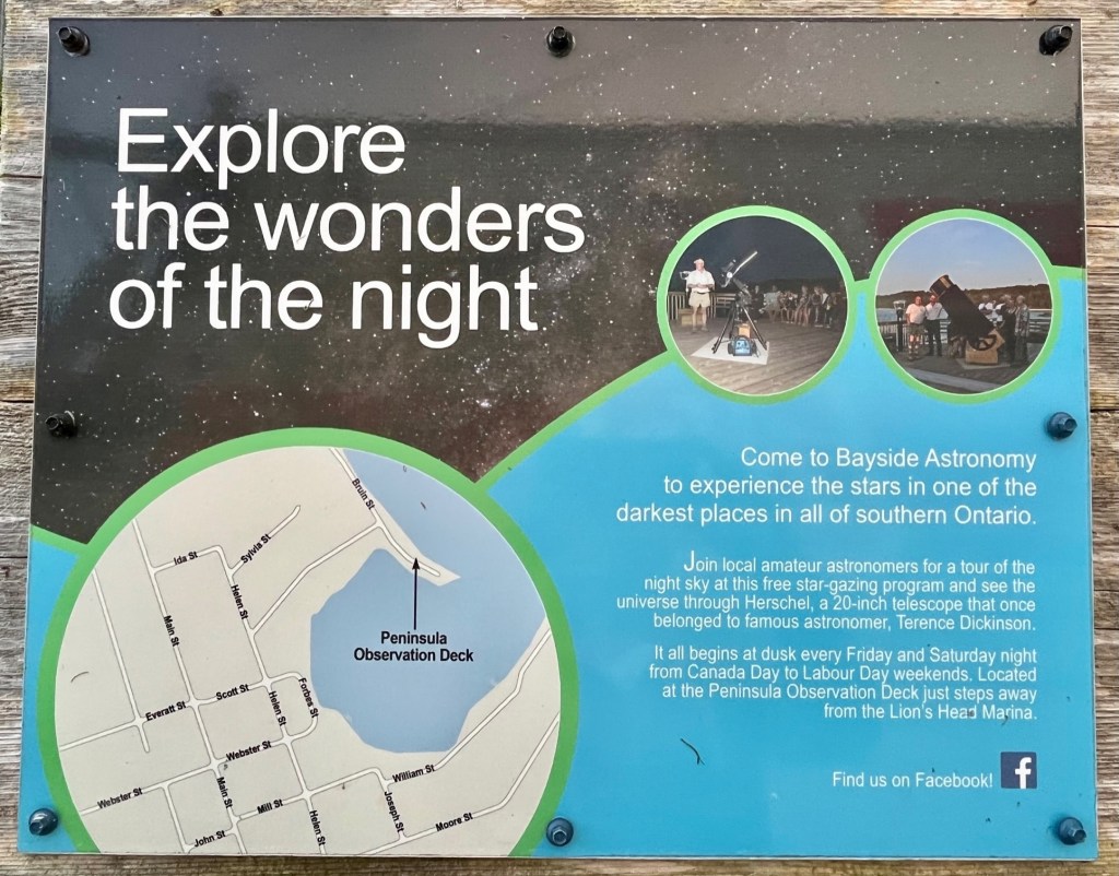
Also featured at this marina are free guided star gazing tours, five days a week, between Canada Day and Labour Day Weekend. You can see planets, faint nebulae and sparkling star clusters.
Here are more photos from our stay at the Lion’s Head Marina, most of the marina itself.


Beckwith Island – September 17 – 19, 2022

We departed Lion’s Head and headed to Beckwith Island. The winds had died down substantially.
Beckwith Island is the eastern of three islands in southeastern Georgia Bay. Its highest elevation is 226 meters (741 feet) above sea level. Like its populated neighbor Christian Island to the west, and Hope Island to the northwest, the uninhabited island is part of an Ojibwa tribal reserve.
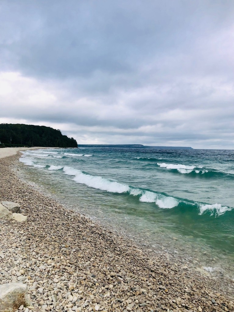
On the mainland, Cedar Point lies directly south of the island and Thunder Beach is located to the southeast of Beckwith Island. The island is a pristine, and ecologically sensitive island of over 800 acres (324 ha), featuring sandy beaches and dunes, juniper bushes, as well as the rare and protected three-pronged awn grass, plus forests of oak, maple, birch and conifer trees. There is no development of any kind except for simple outhouses to serve boaters, campers and picnickers.
There are two boat anchorage points. One on the east and another on the west side of the islands where the narrows of the two islands meet. Sandy beaches are at both anchorage points.
Camping is permitted but you must obtain permission in advance from the local band council on Christian Island. The western side of Beckwith island is often a favorite place for boats to moor. And that is where we went. Beckwith Island and the attached “Little Beckwith” are part of the Beausoleil First Nation.
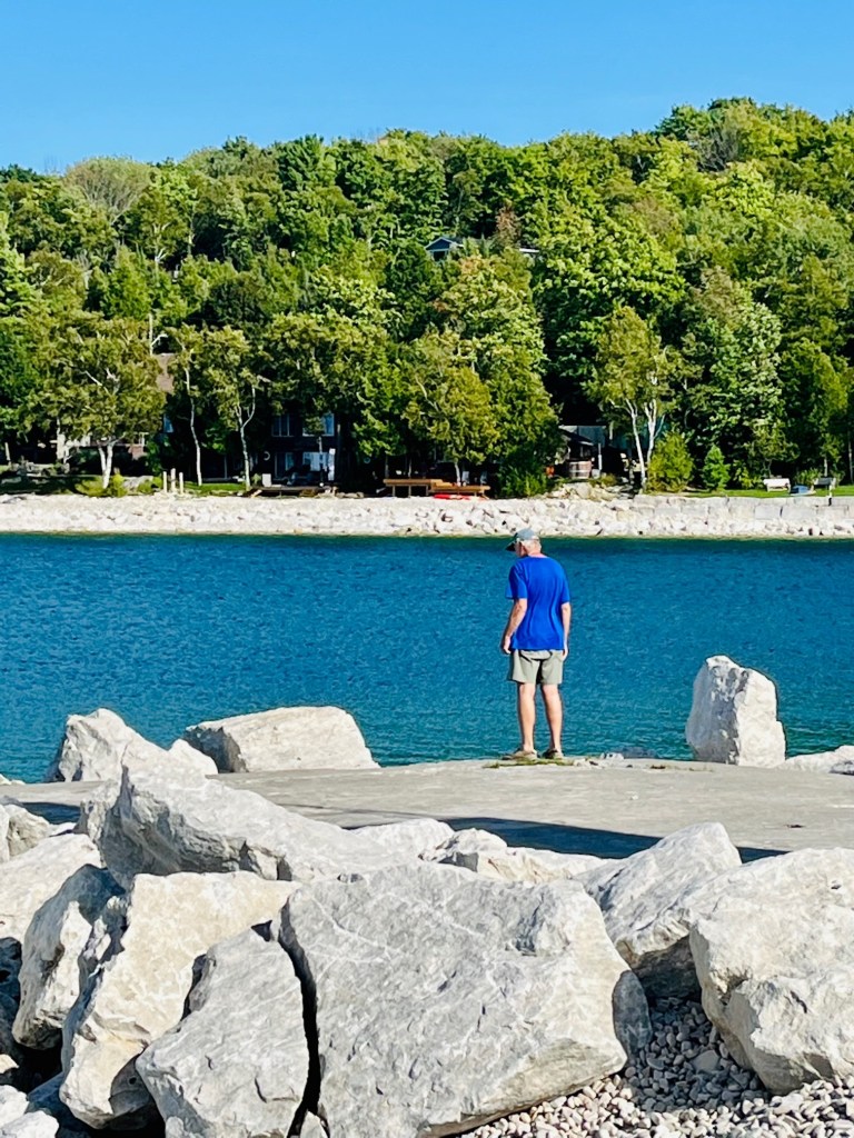
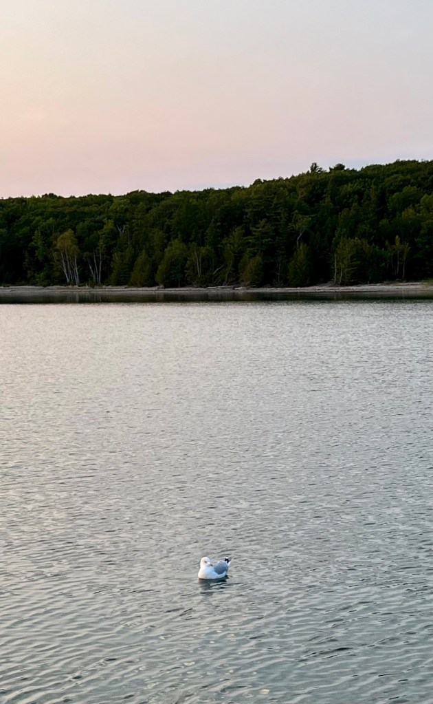
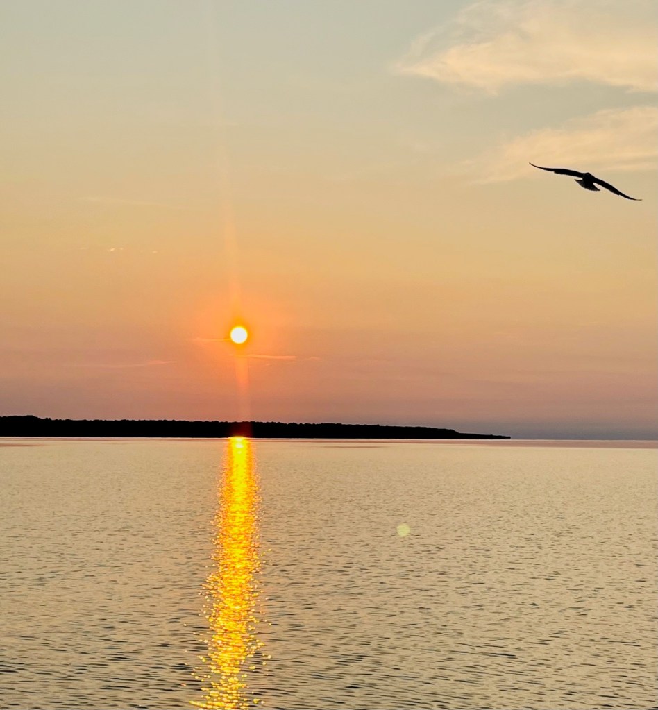
We will remember Beckwith Island as the last place we anchored in Georgian Bay, before heading to our home port of Harbour West Marina in Penetanguishene. We enjoyed the quiet and solitude of these last nights. Our only visitors were sea gulls! Here are our photos from Beckwith Island.


7 responses to “Lion’s Head and Beckwith Island”
Welcome home! I enjoyed reading all your posts. Glad you’re home safe and sound.
Sent from my iPhone
>
LikeLiked by 1 person
Thank you, Vivian. Sorry for the late reply. Just getting caught up. Hope all is well with you.
LikeLike
Someone is becoming a great photographer. What a gorgeous part of the world you’re in. When do they take the boats out of the water?
Be safe
LikeLiked by 1 person
Hello and sorry for late reply! Getting back into things, as we are at home. We will return to Penetanguishene in June of next year, to retrieve the boat and continue our journey on the Great Loop. Take Care!
LikeLike
Does PAT know about Lou?
Tevie
>
LikeLiked by 1 person
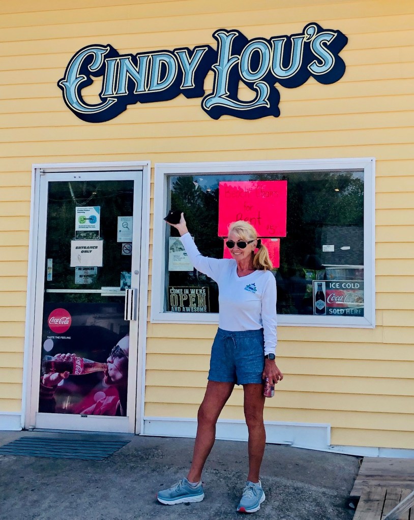
Ha! Yes, my middle name. Cynthia Louise, or Cindy Lou. So good to see you two at Elliott’s birthday. We have to get together!
LikeLike
Some more of our Creator’s offerings……..very beautiful and very natural
I especially like the “tall grass and flowering bushes to keep geese away in fear of predators. ” How creative and how interesting. Gracias!
LikeLiked by 1 person