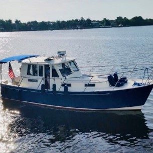
September 13 – 16, 2022
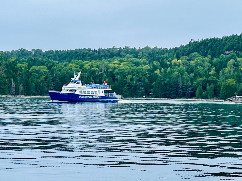
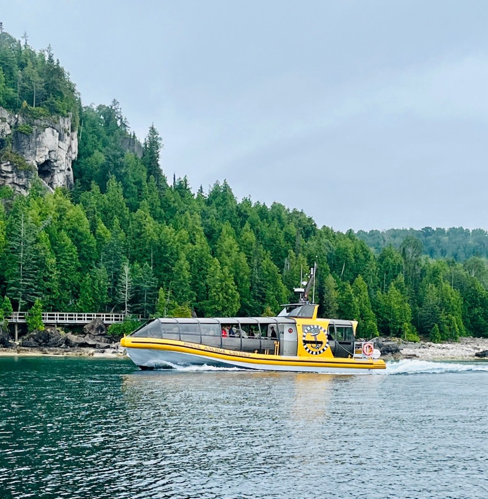
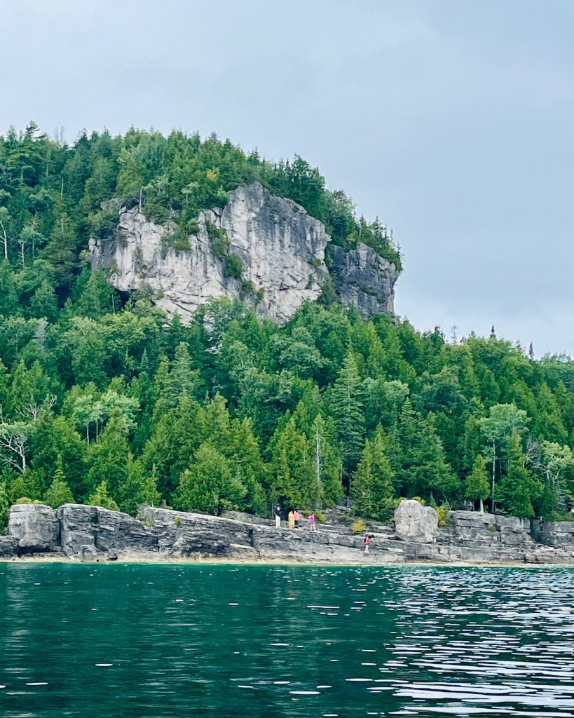
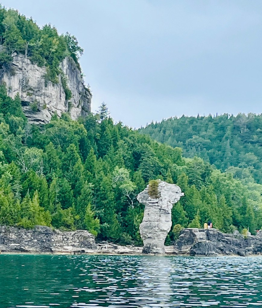
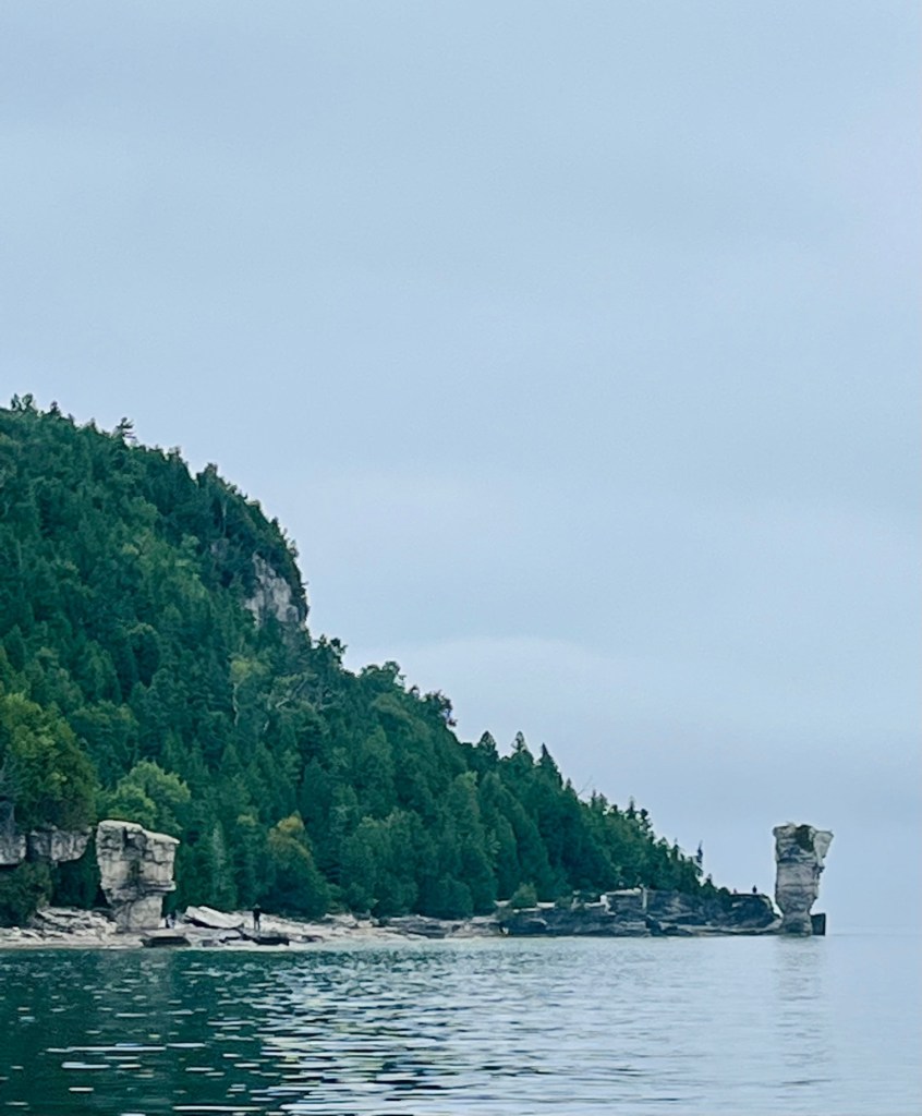
We departed Tobermory and headed to Flower Pot Island, part of Fathom Five National Marine Park. There are many tourist boats (some glass bottom) that take visitors to Flower Pot Island.
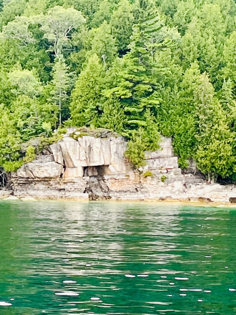
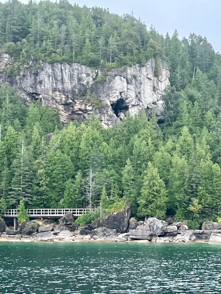
There are two distinctive limestone formations that give the island its name. There has been much speculation that the bases of the flowerpots would soon be eroded to such an extent that they would fall over. In the 1960s measures were taken to slow down the erosion process, and the two famous landmarks still stand.
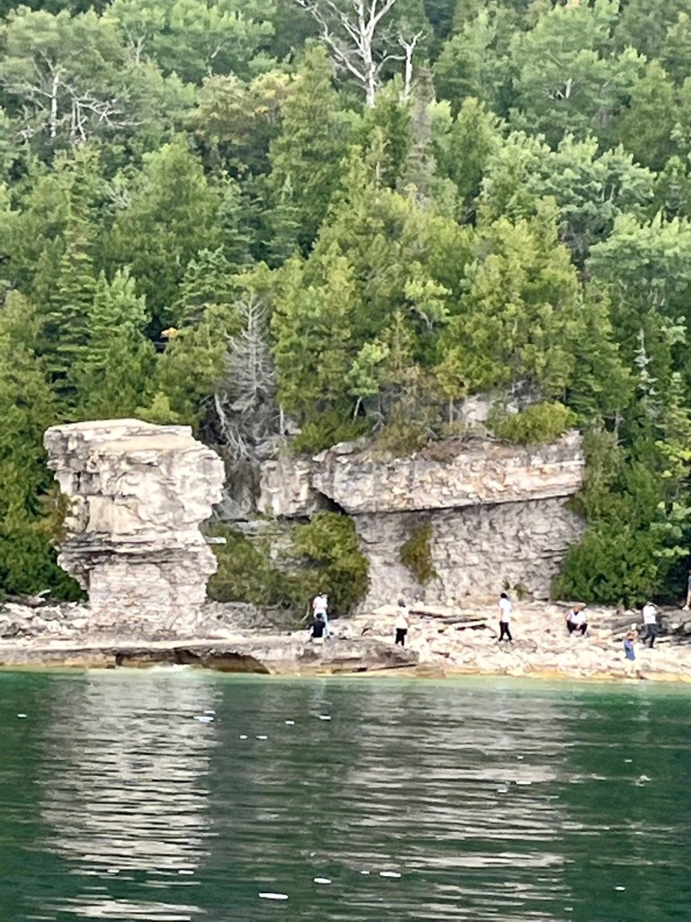
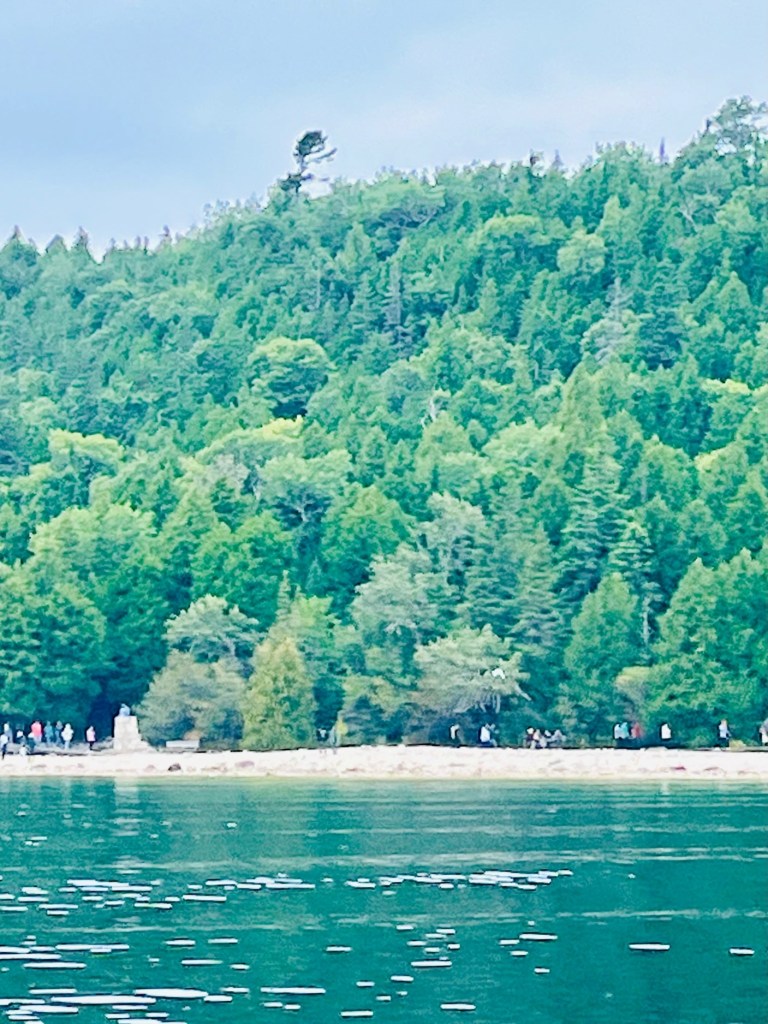
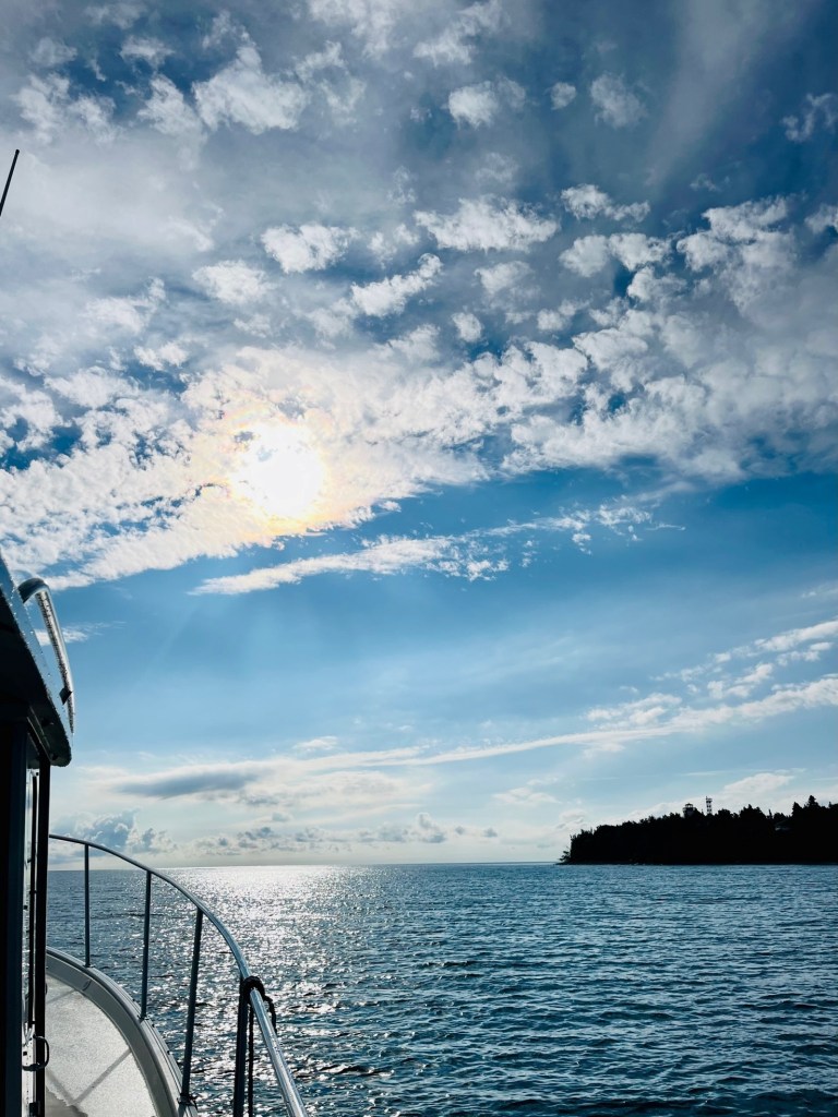
The weather was not the best, so we did not stop. It was amazing to see the “flower pot” rock structures up close from Sunshine, with so many visitors walking the island.
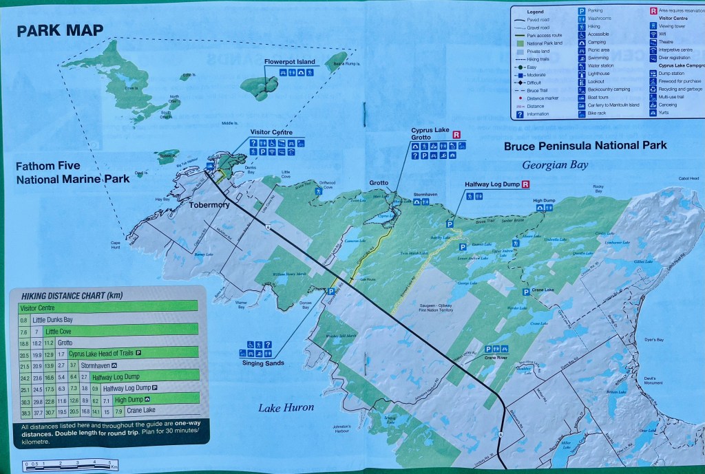
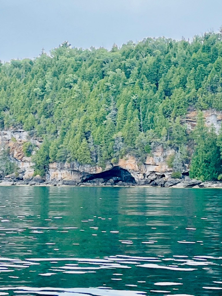
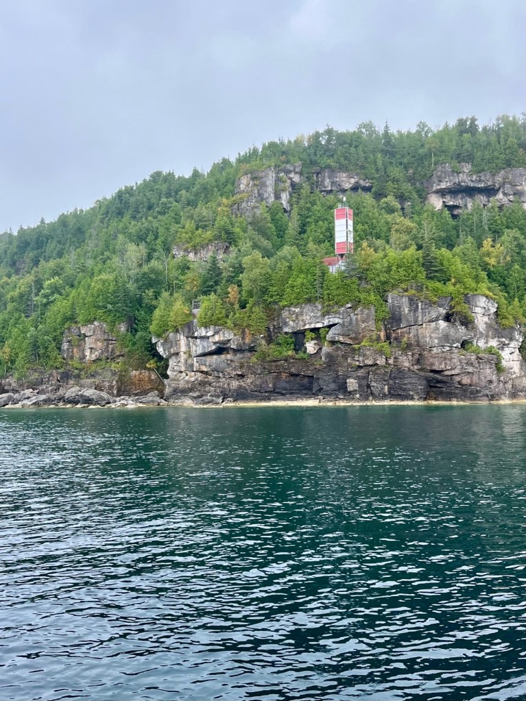
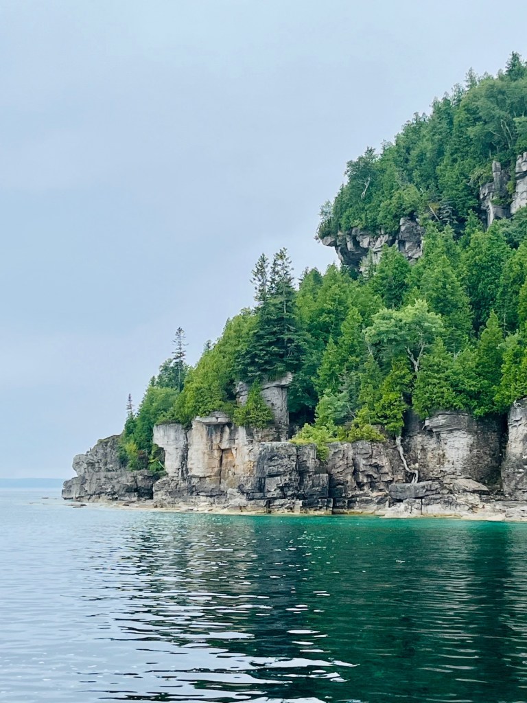
Hiking trails let visitors see the flowerpots, explore a cave and visit the lighthouse located on the northesterly point of the island. Camping is allowed with reservations required.

The water around the island is extremely shallow. In fact, when the water level is close to chart datum, the island is almost inaccessible. The tour companies from Tobermory use specially equipped inflatable tour boats. The island’s docks are also suitable for cottage boats, dinghies, canoes and kayaks.
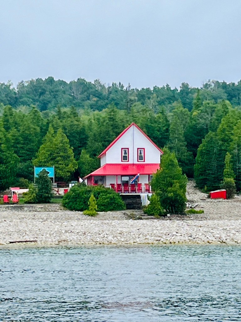
Here are photos of our cruise around Flower Pot Island.
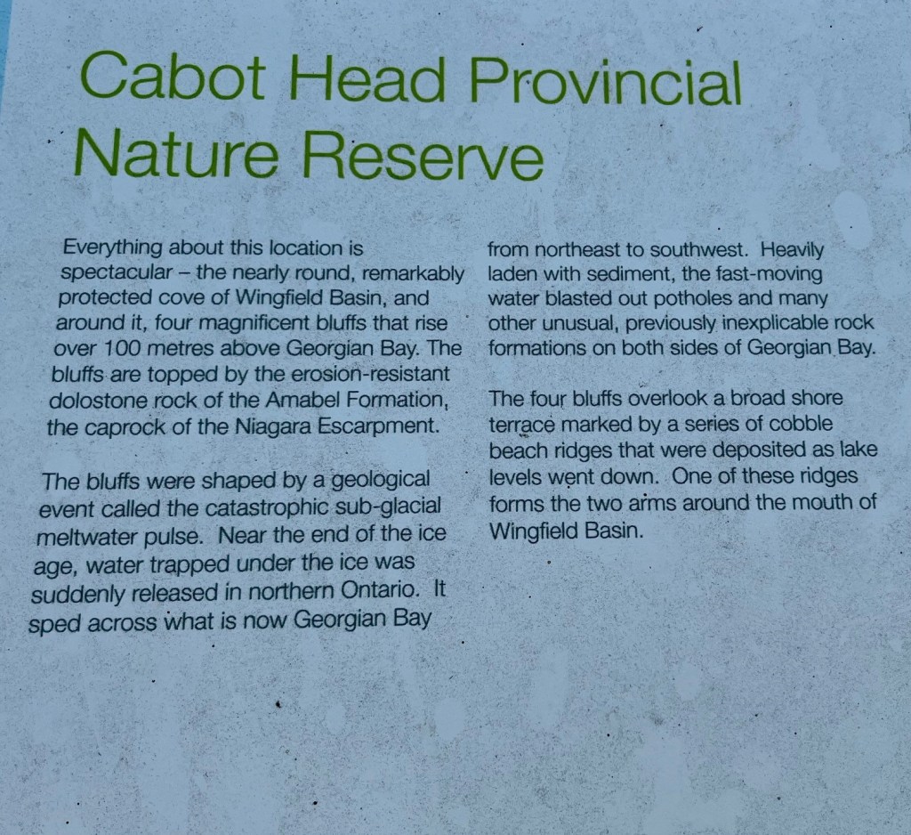
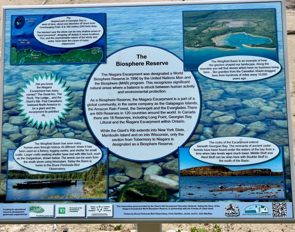
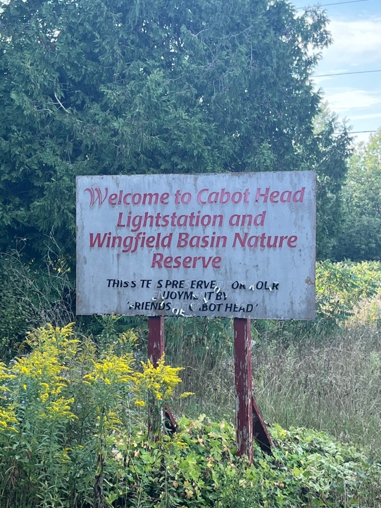
Cabot Head and Wingfield Basin
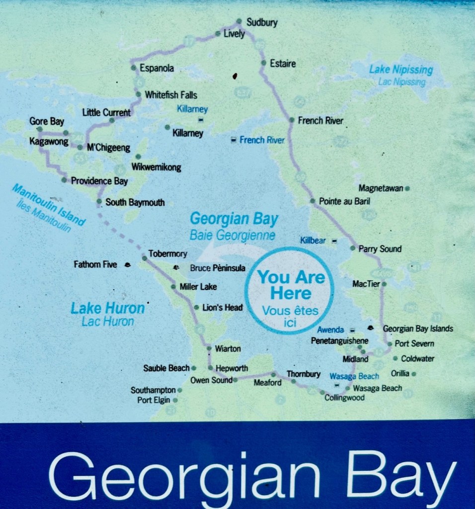
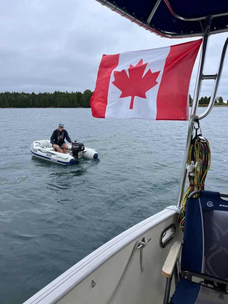
We anchored for two nights in the Wingfield Basin near Cabot Head, on the Georgian Bay side of the Bruce Peninsula. There are two sides to the Bruce Peninsula – the Lake Huron side (west) and the Georgian Bay side (east). We are on the Georgian Bay side, heading South to Penetanguishene.
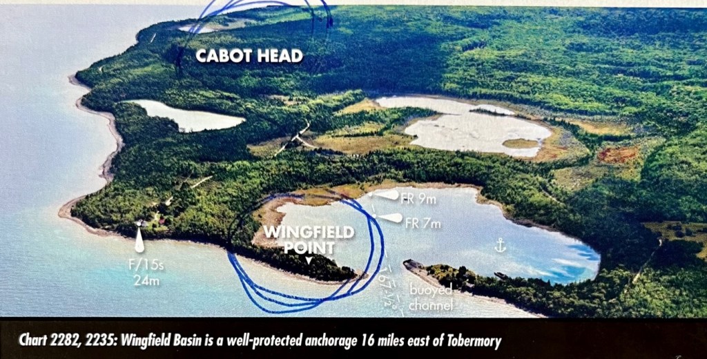
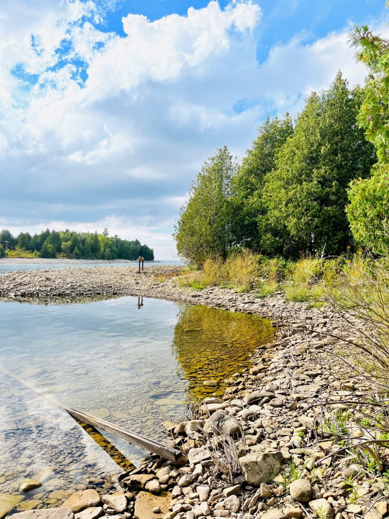
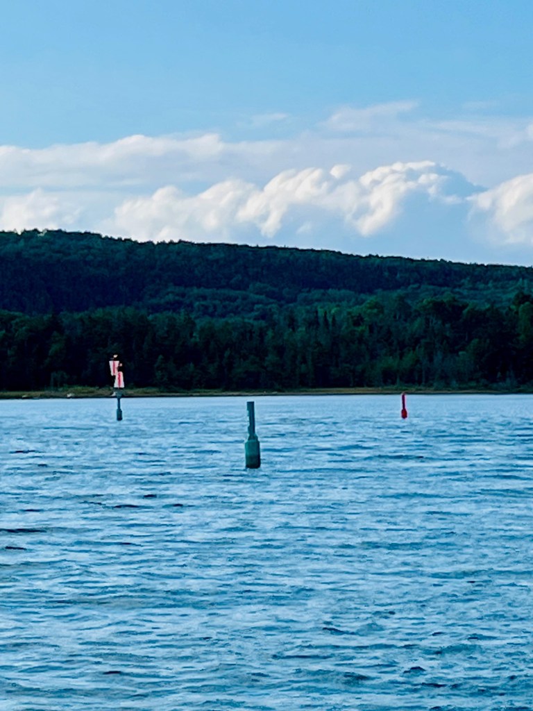
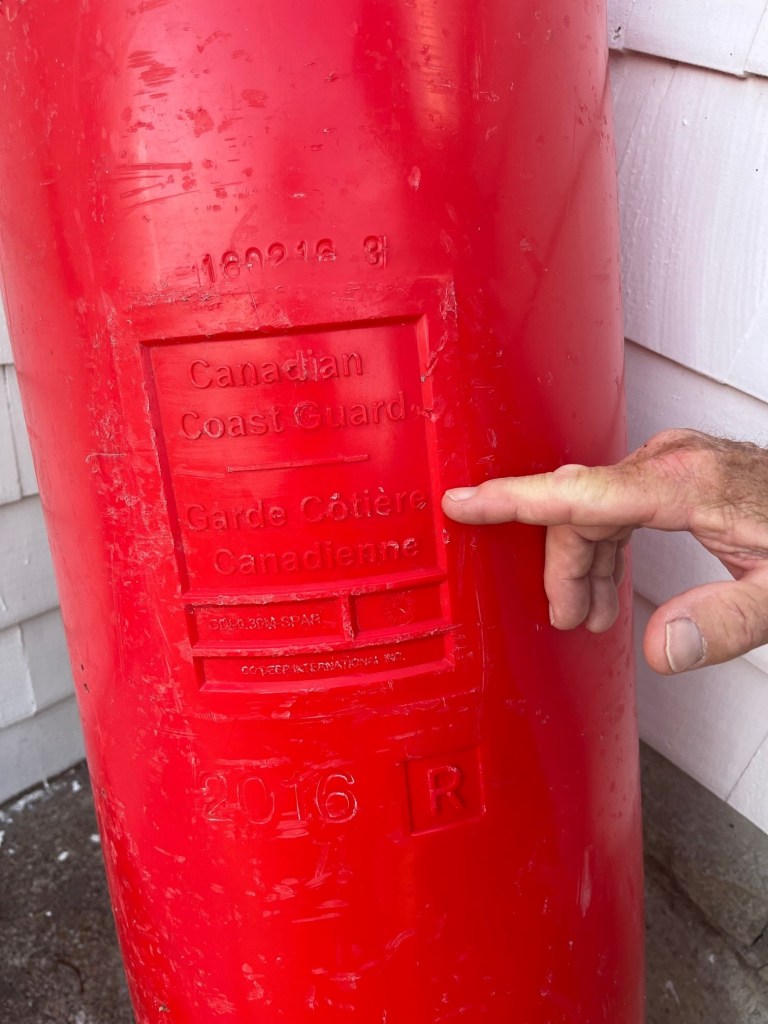
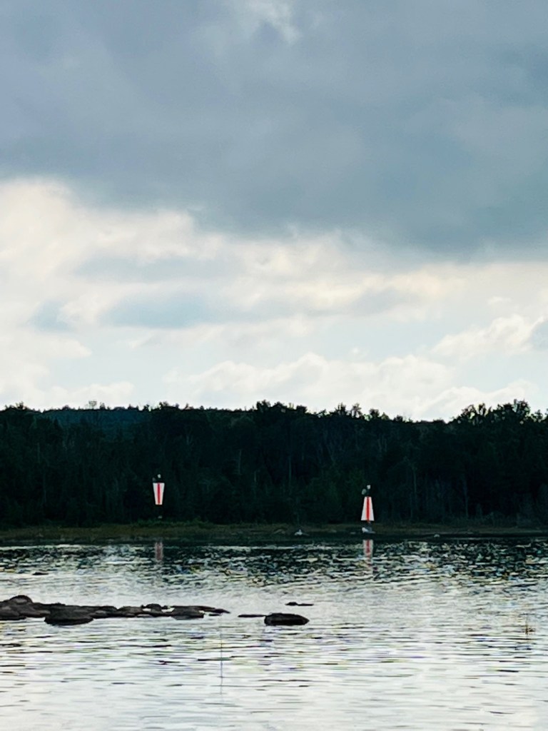
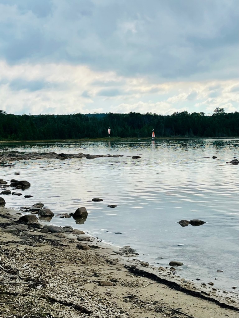
Wingfield Basin is a well-protected natural harbour near Cabot Head on the north-eastern tip of the Bruce Peninsula. Approaching the basin (especially in low-water years), it is essential to line up the beacons and then stay within the narrow buoyed channel.
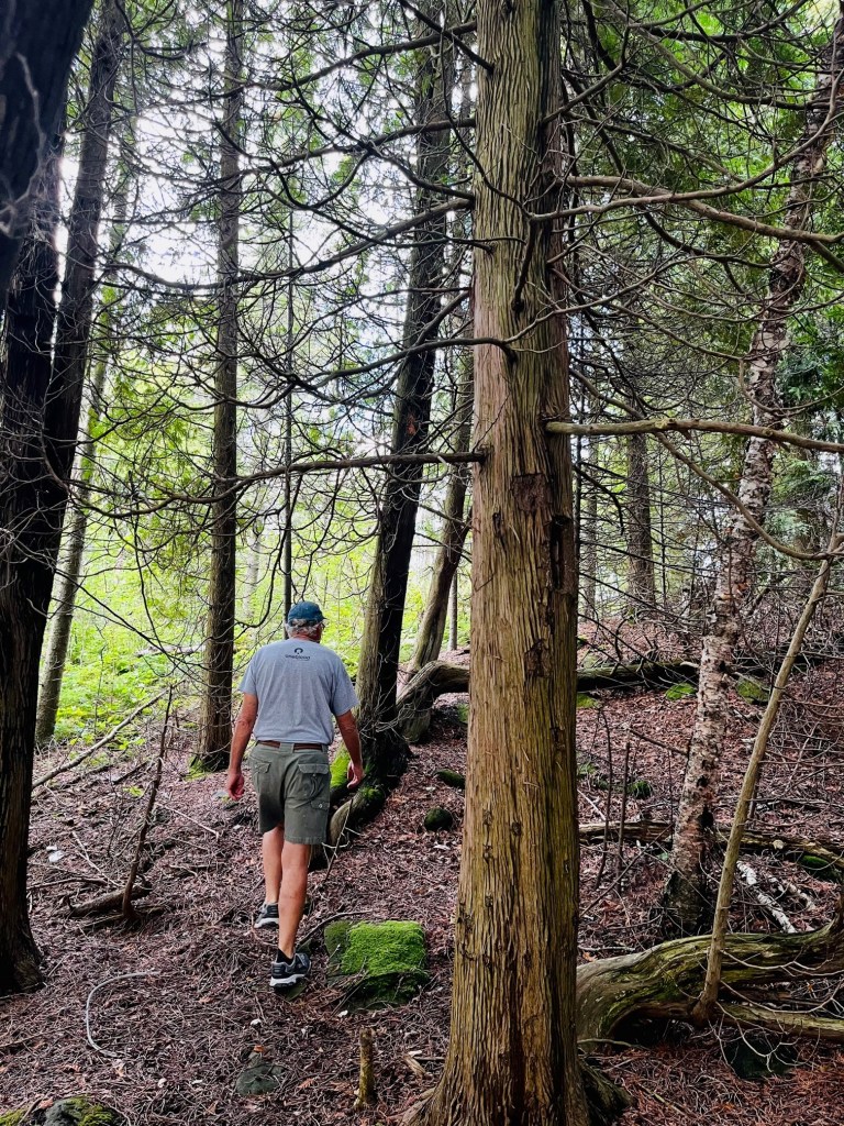
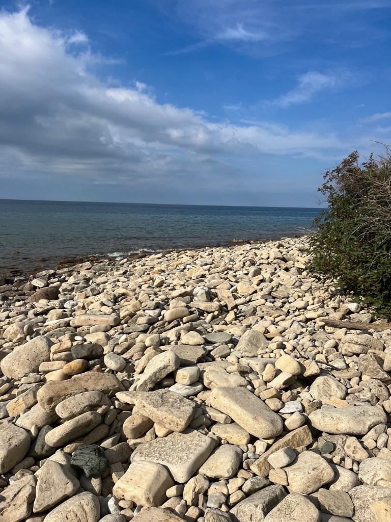
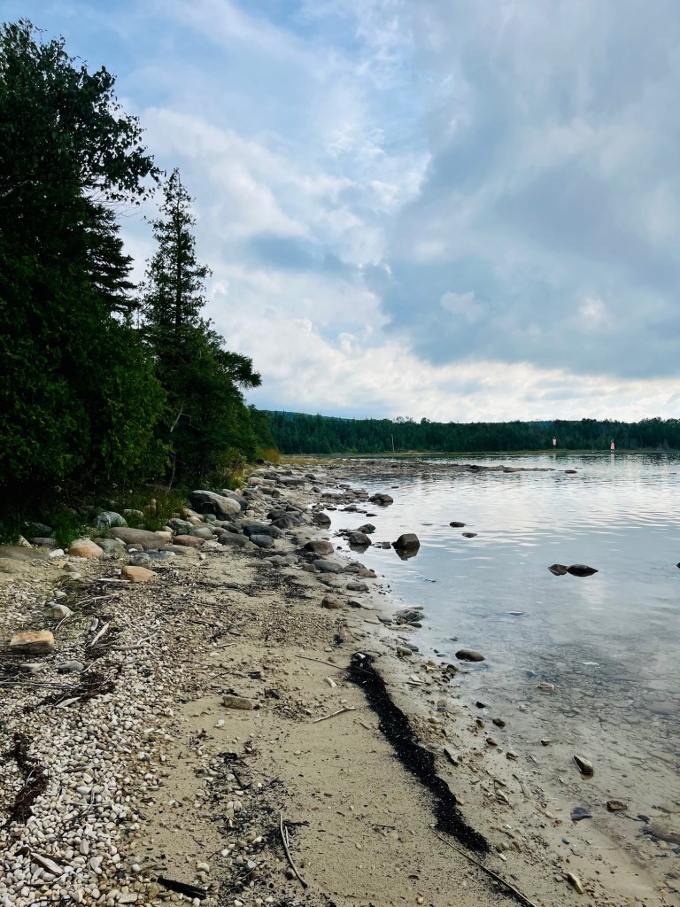
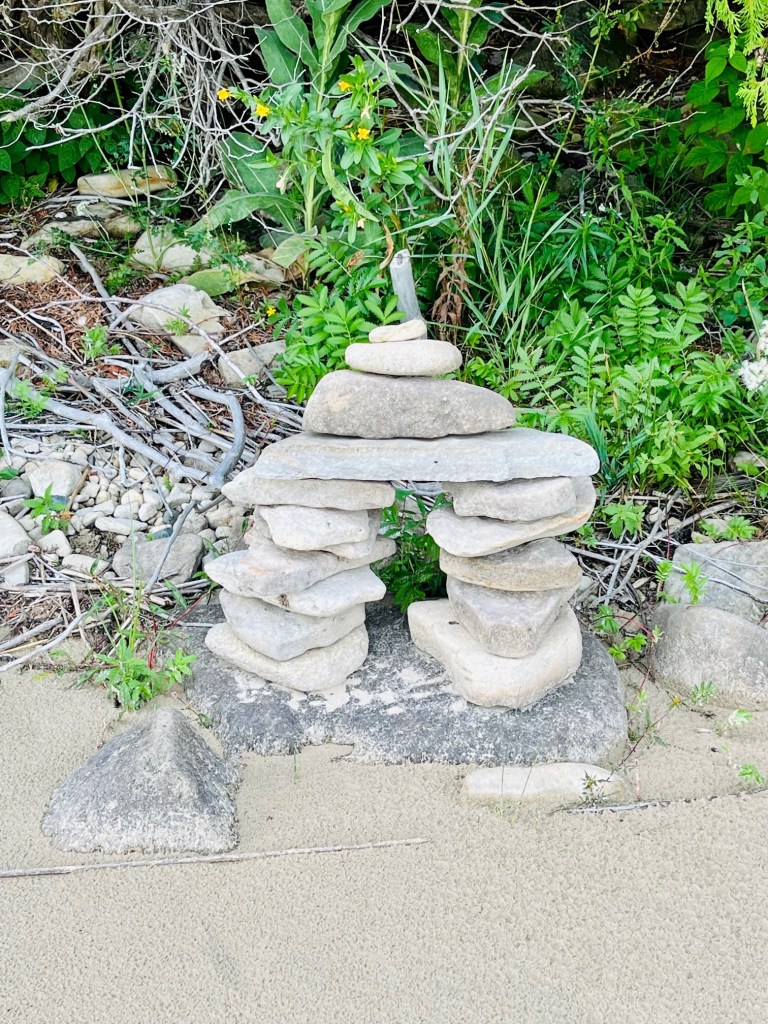
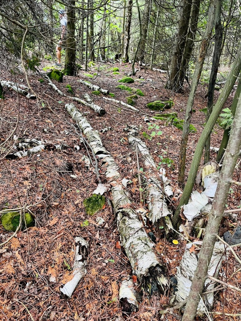
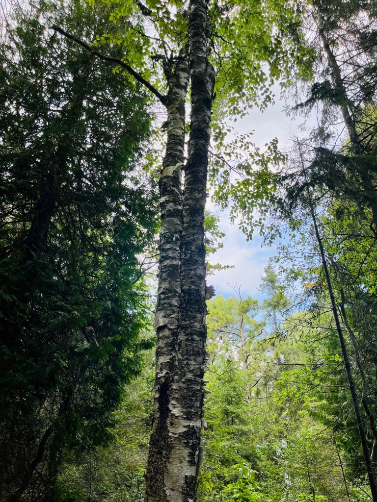
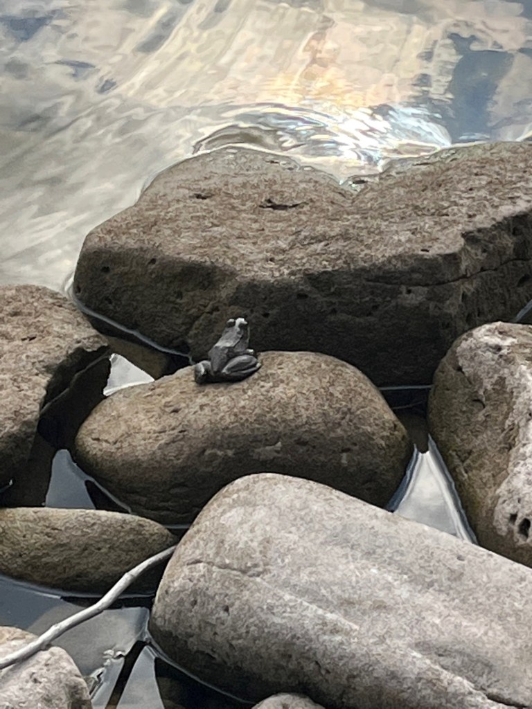
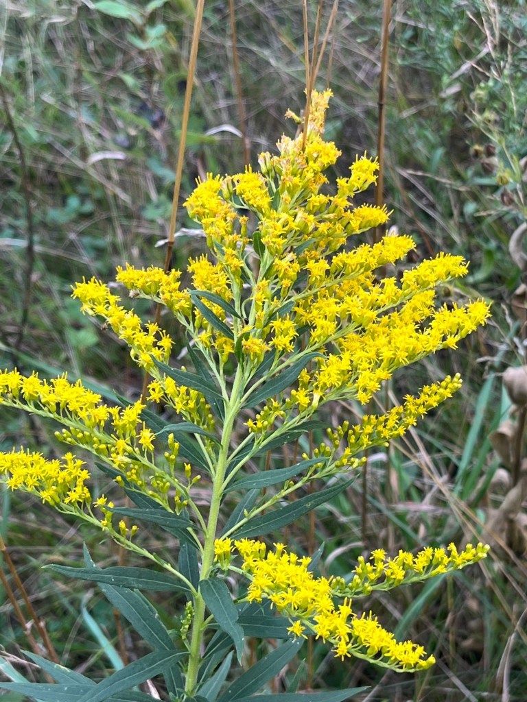
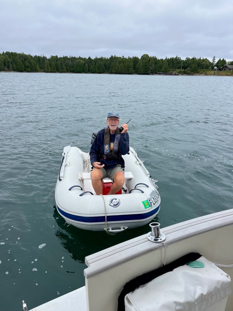
There are many landing places for dinghies on the shingle beach or the sand beach in the bay. When the water is low, there’s lot of room to walk along the shingle beach, as well as paths through the wood to explore.
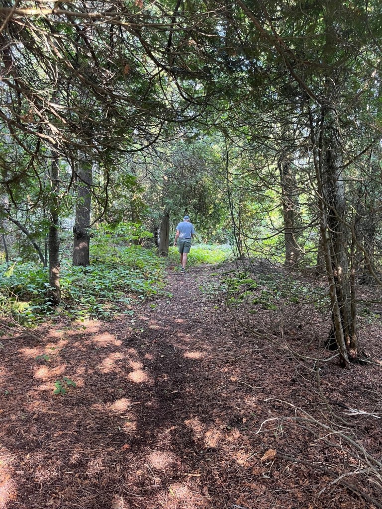
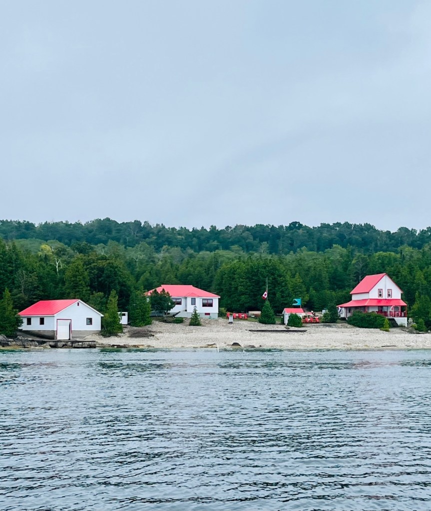
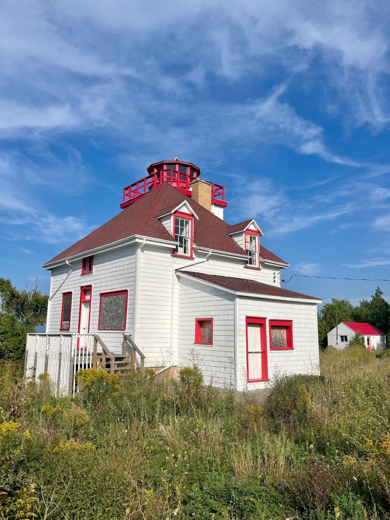
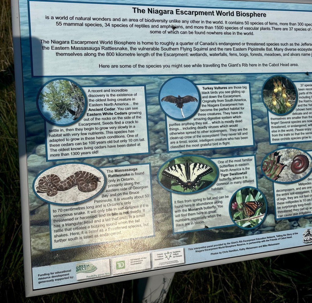
We were cautioned about poison ivy and mississauga rattlesnakes, although we did not see any. Our walk brought us to the lighthouse, a heritage building which is being maintained by the Friends of Cabot Head. The Friends sponsor a volunteer lighthouse keeper’s program, where volunteers are selected to live in the lighthouse for a week at a time and perform traditional lighthouse keeper’s duties in exchange for an inexpensive holiday.
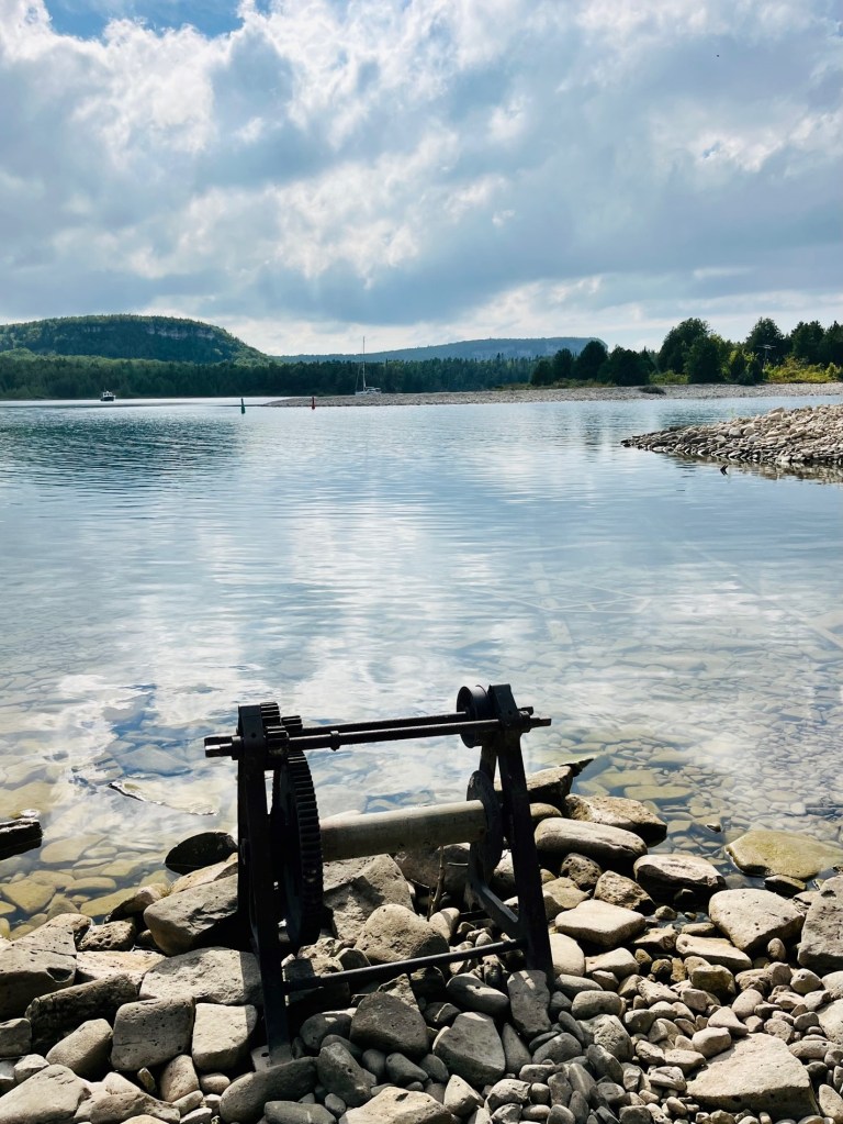
The wreck of the steam tug Gargantua lies in the anchorage. When the water is low, the rusty steering mechanism and the wide planks used in the ship’s construction are clearly visible. We could see this anchored aboard Sunshine.
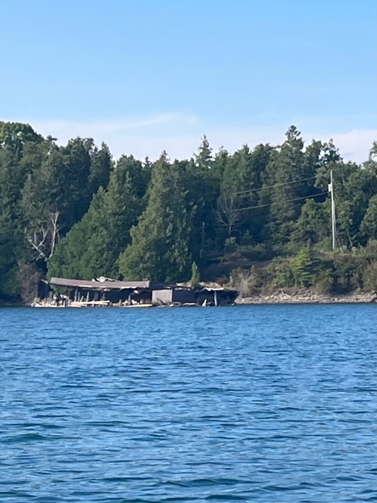

We dinghied to the rock shore in foreground.
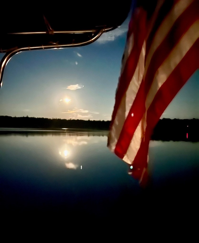
Here are more photos from our anchorage in Wingfield Basin.

9 responses to “Flower Pot Island, Cabot Head and the Wingfield Basin”
Flower Pot Island! I LOVE it!
Marleen Pasch, Author At the End of the Storm https://www.amazon.com/At-End-Storm-Marleen-Pasch/dp/1950586359/ref=sr_1_1?dchild=1&keywords=at+the+end+of+the+storm&qid=1586567820&sr=8-1
http://www.marleenpasch.com Mppwriter@gmail.com
LikeLiked by 1 person
Hello Marleen! We are back in Boca – would love to see yoU!
LikeLike
Loved the Flower Pot Island! The places you go are beautiful!
LikeLiked by 1 person
Love your photos and journey documentations, Alyson! And sure do miss you.
LikeLike
Blessed
Tevie
>
LikeLiked by 1 person
Tevie, so great to see you and Iris. You two look amazing! So happy for you. Would love to get together again soon. Cindy and Pat
LikeLike
Can hardly believe what you’re doing and worried you might not ever be able a return to reality. How’re your temps up there. You don’t look warmly dressed.
LikeLiked by 1 person
Hi David! Yes it was cold! We have arrived home . Left the boat in Canada for the winter – internal storage so Sunshine won’t get too cold! We will fly back to her in June 2023 and resume our Great Loop adventure. We’d love to see you and Steph!
LikeLike
Absolutely gorgeous. The water looks pretty clear. Not to mention the ‘flower pot island’. Loved it.
LikeLiked by 1 person