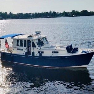
We are officially “Gunkholers!”
I had never heard of Georgian Bay (French: Baie Georgienne) until learning about the Great Loop. At 5,792 square miles, Georgian Bay is not much smaller than Lake Ontario (7,320 square miles), earning it the nickname “the sixth Great Lake.” With more than 1,240 miles of grayish-pink granite shoreline, this archipelago is part of a UNESCO (United Nations Educational, Scientific and Cultural Organization) biosphere reserve and a summer freshwater playground for boaters, anglers, and kayakers.
It is a large bay of Lake Huron, in the Laurentia bioregion, and located entirely within the borders of Ontario, Canada. There are 31,000 islands in Georgian Bay! To put this in perspective, there are 365 islands (274 habitable) on Lake Winnipesaukee (which is 72 square miles.)
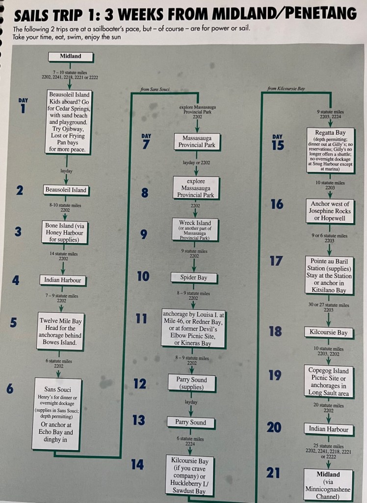
There are endless route options you can take to explore the Bay. We have talked to many locals who have boated these waters for years and still have much to see. There are many sample routes listed in a resource we have – the Cruising Guides Charts for Georgian Bay. The example above, taken from the Cruising Guide, is very similar to what we are following. You will recognize the names of the places we have visited – Midland; Beausoleil Island; Ojibway; Honey Harbor; Sans Souci (with Henry’s restaurant); Massasauga Provincial Park; Parry Sound; Regatta Bay; and Indian Harbor.
Special thanks to the many people who provided us with excellent resources. Early on Ashley Dawson gave us online charts and maps as she has travelled extensively in Georgian Bay. Susan Molenda, our friend in Victoria Harbor, gave us charts and books, as did Dan and Graeme Arris, and Mitch and Ann Larimore. All the boaters and Loopers we’ve encountered at various marinas have had excellent suggestions. And the AGLCA (American Great Loopers Cruising Association) website has troves of videos and blogs. I’m sure we are leaving some people out – special thanks to you too!
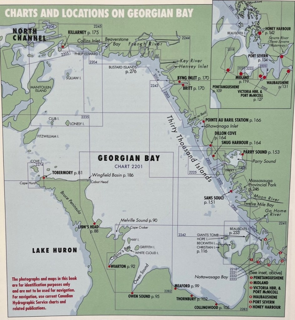
We have hit the following spots: Honey Harbor, Port Severn, Midland, Penetanguishene, Sans Souci, Parry Sound, Snug Harbour, Britt and Byng Inlet.
To give you an idea of our travels, you will see on the bottom right (southeastern corner, with in inset at the top) the first area we visited in Georgian Bay – Port Severn (where we entered Georgian Bay after the Big Chute) and Penetanguishene, and we have proceeded up the coast. We will take approximately two weeks to get from Penetanguishene to Killarney – at the top left near North Channel. Then we will take about one week to travel from Killarney back to Penetanguishene, cruising the bay by Tobermory, Lion’s Head, etc. – the left side of this map. Traveling through the bay is not as involved and tricky as the right side of the map, taking less travel time. Let’s hope the winds are with us!
What is Gunkholing?
I read this term – gunkholing – in the cruising guide, and realize it describes exactly how we are exploring Georgian Bay! Gunkholing is leaving the main channel (and its navigational aids) to look for secluded anchorages. Most boaters who gunkhole do it to find a place away from towns and marinas to enjoy nature and soak in the spectacular scenery found on Georgian Bay and in the North Channel.
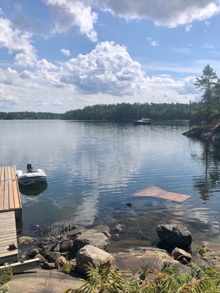
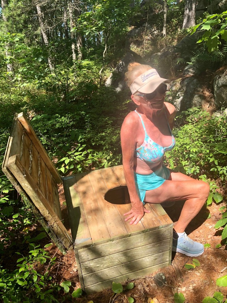
We were the only boat anchored in Three Fingers.
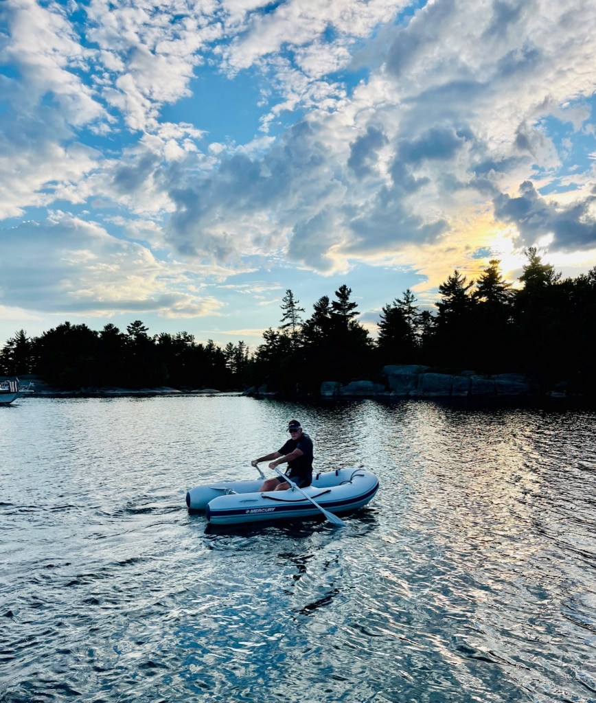
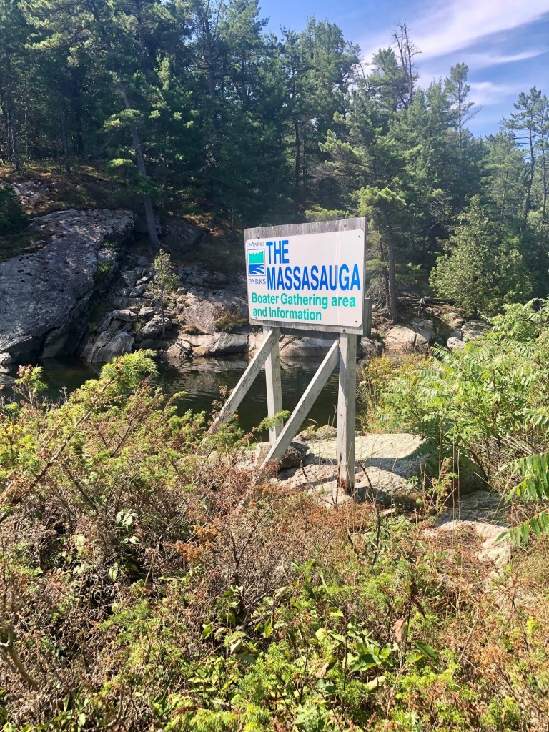
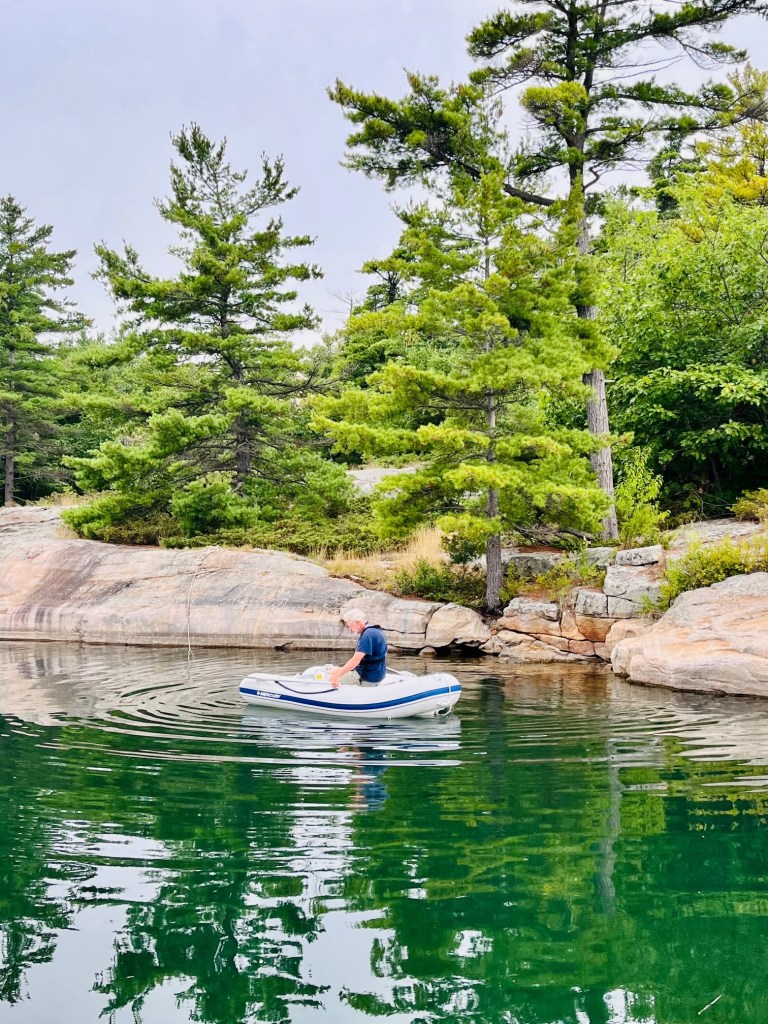
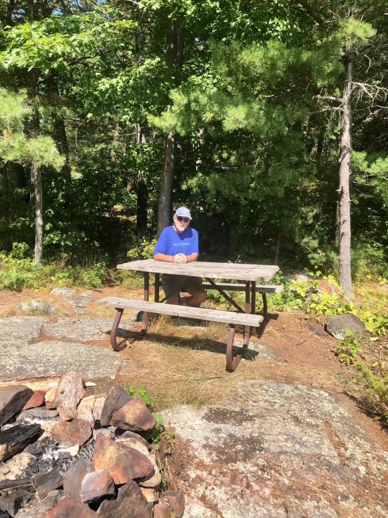
We took the dinghy to walk around Massasauga Provincial Park.
You may just be looking for the perfect fishing hole or a prize-winning photo location. For some, the goal is to find a spot without worrying about other people around – to sunbath, star gaze and watch loons go by.

33′ Benetau belonging to Catherine and Brian
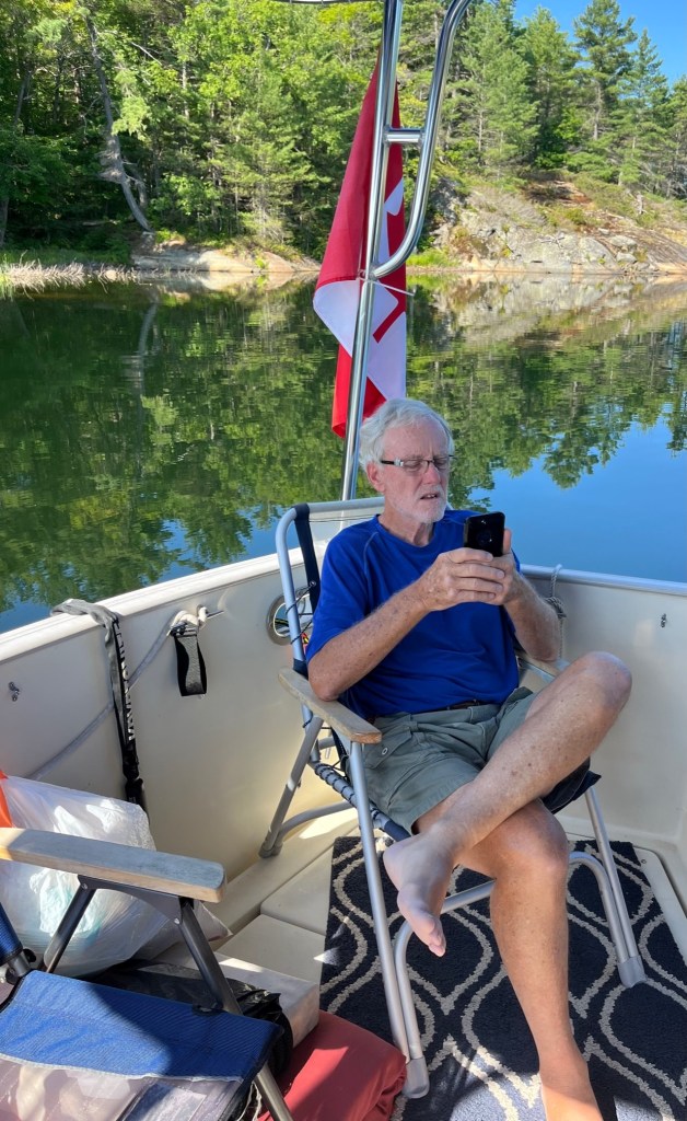
We met two sail boaters yesterday – Brian and Catherine – anchored in Alexander Passage with us. They told us “if you travel Georgian Bay, expect to hit a rock!” This is what deters many boaters from truly exploring these waters – from gunkholing. But it doesn’t deter Captain Pat. He follows the charts and the marked buoys, and so far we’ve not hit any rocks! He has had some white knuckles though.
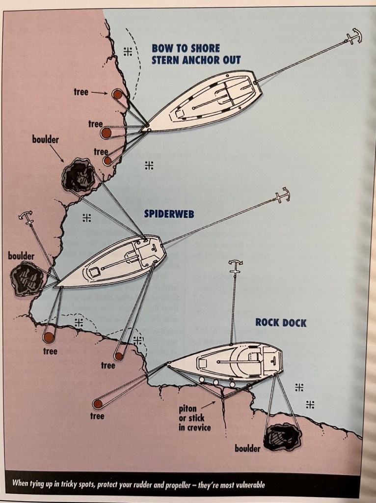
Here are ‘gunkholing secrets’ listed in the Cruising Guide. Captain Pat followed these guidelines, long before reading this article!
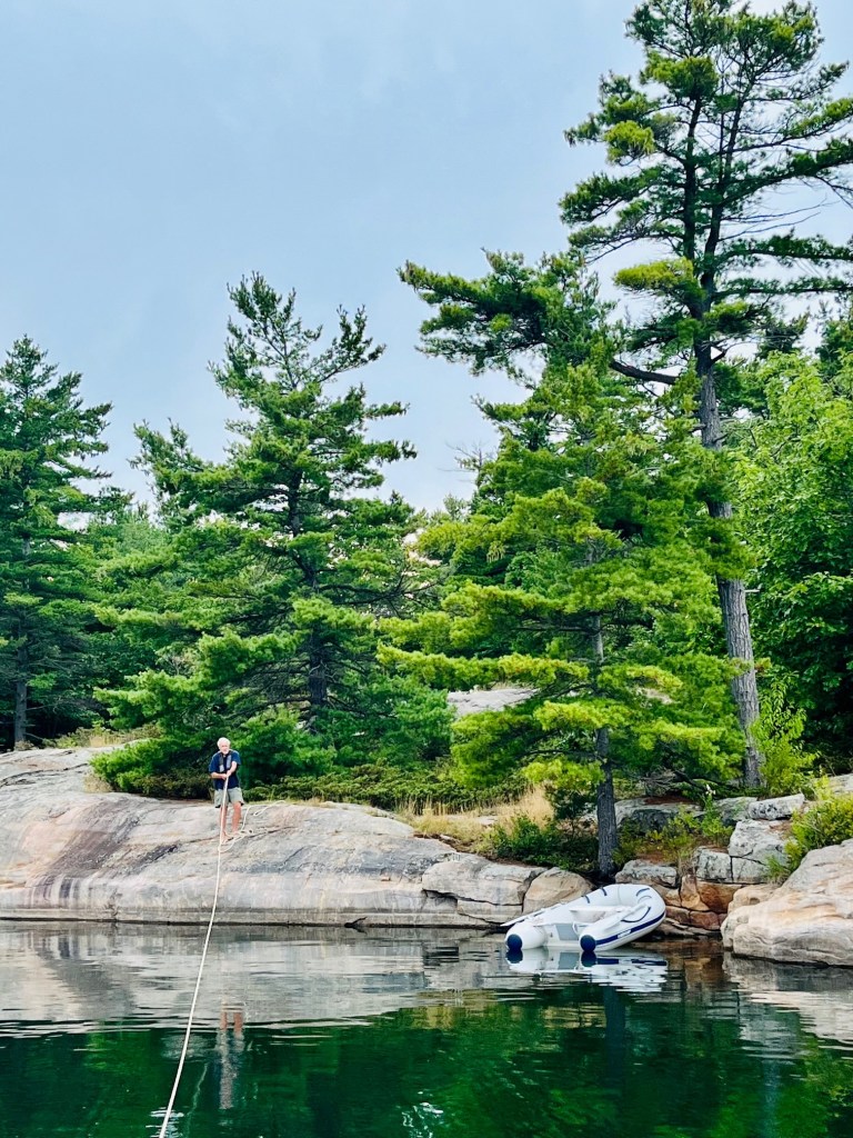
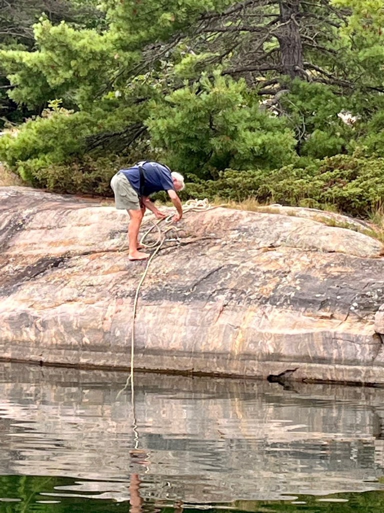
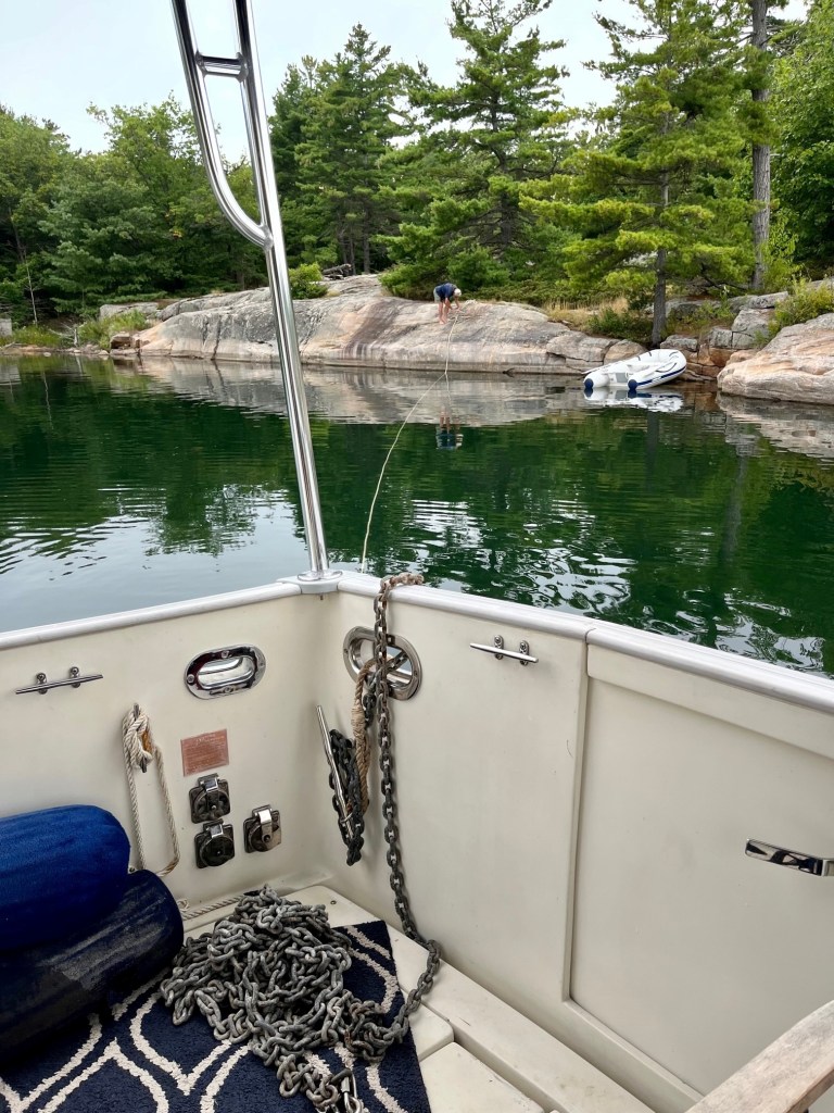
- Ask yourself if you’re ok with getting creative with anchoring. Many anchorages have tie-up hooks on the rocks by the island shore. This means a trip in your dinghy (or just swim) to shore to secure your anchorage.
- A perfect anchorage offers protection from all winds; but if you have chosen a spot exposed in one or more directions, are you confident your anchor will hold if the wind blows up? North winds are usually strong, the prevailing winds are from the west and winds from the south and east are not very common (until the night you’ve taken a chance and anchored in a bay that offers little protection from the south or east.)
- Do you like the security of having a clean exit so you can leave if the weather deteriorates, or can you handle waiting out bad weather for a few days? We found that as we are now not following a rigid travel schedule, we can better adjust for the weather and other contingencies.
- If your crew needs to go ashore (think of your pooch) stay away from private land. Look for national park land (tinted brown), picnic areas indicated with a picnic table symbol), or the boundaries of provincial parks in the area. Farther north much of the land belongs to native bands and, although usually undeveloped, this land is private and the boundaries of the reserves are marked on charts. Some native bands don’t mind respectful use of shore. Others prefer that visitors do not trespass.
- Plan your entrance – and your exit. Charts will show you how to access your chosen bay. Check to see if there is a clean route with landmarks along the way. Plot a course with the best information on hand – make note of compass courses, depths, distances, landmarks, rocks and other obstructions.
- Some bays have too many rocks in front of them to make it worthwhile negotiating the obstacles to reach the anchorage. For example, between Bad River and Beaverstone Bay, rocks are scattered for a mile or two offshore, making the approach so hazardous that only the most experienced and determined gunkholers will want to attempt it.
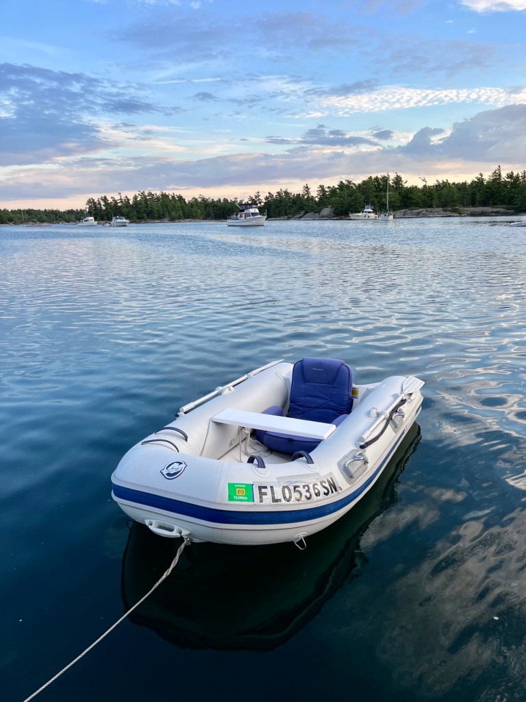
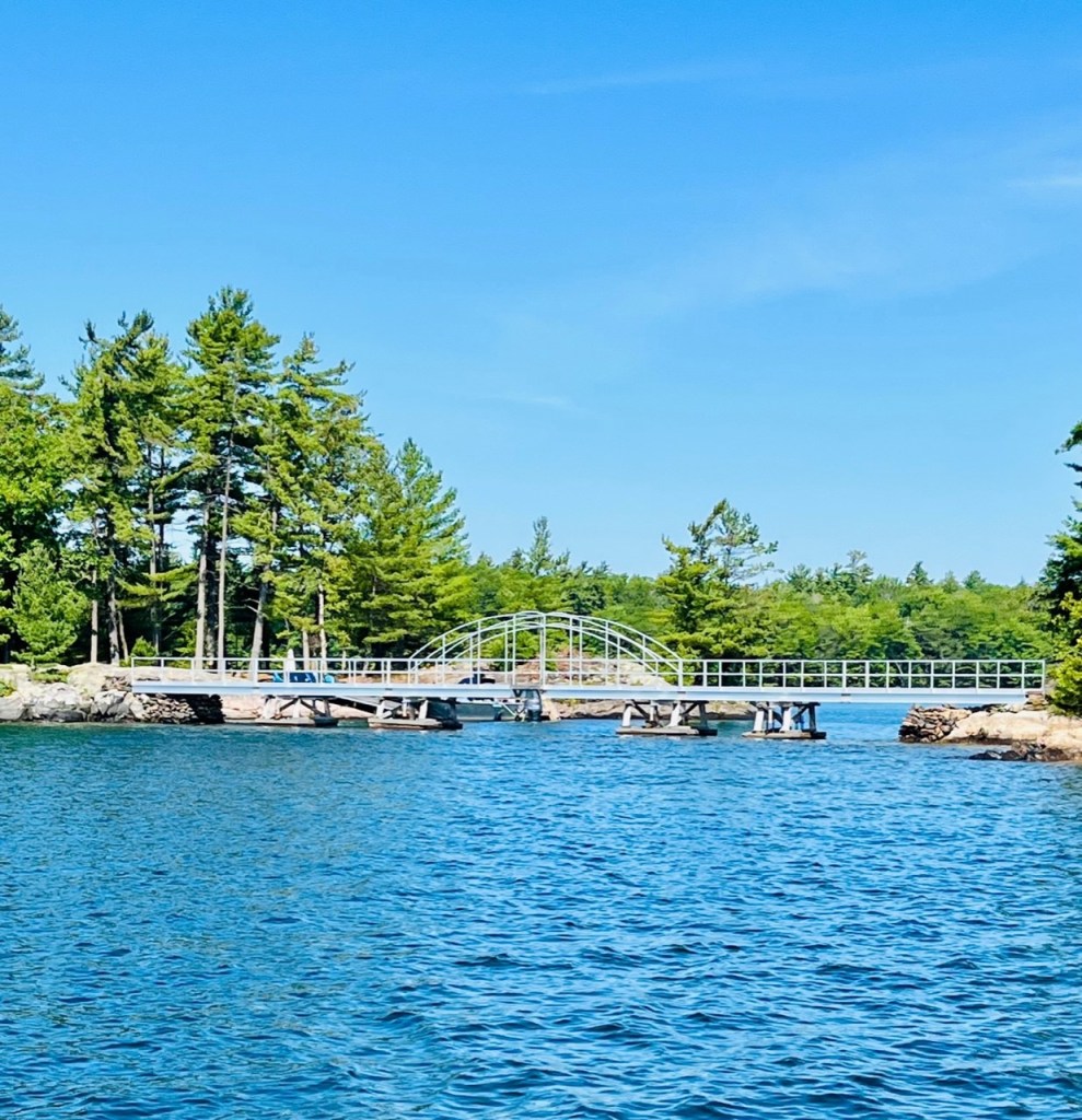
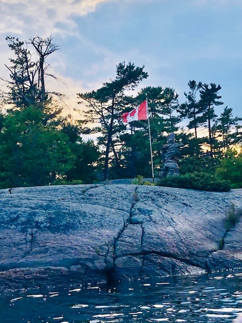
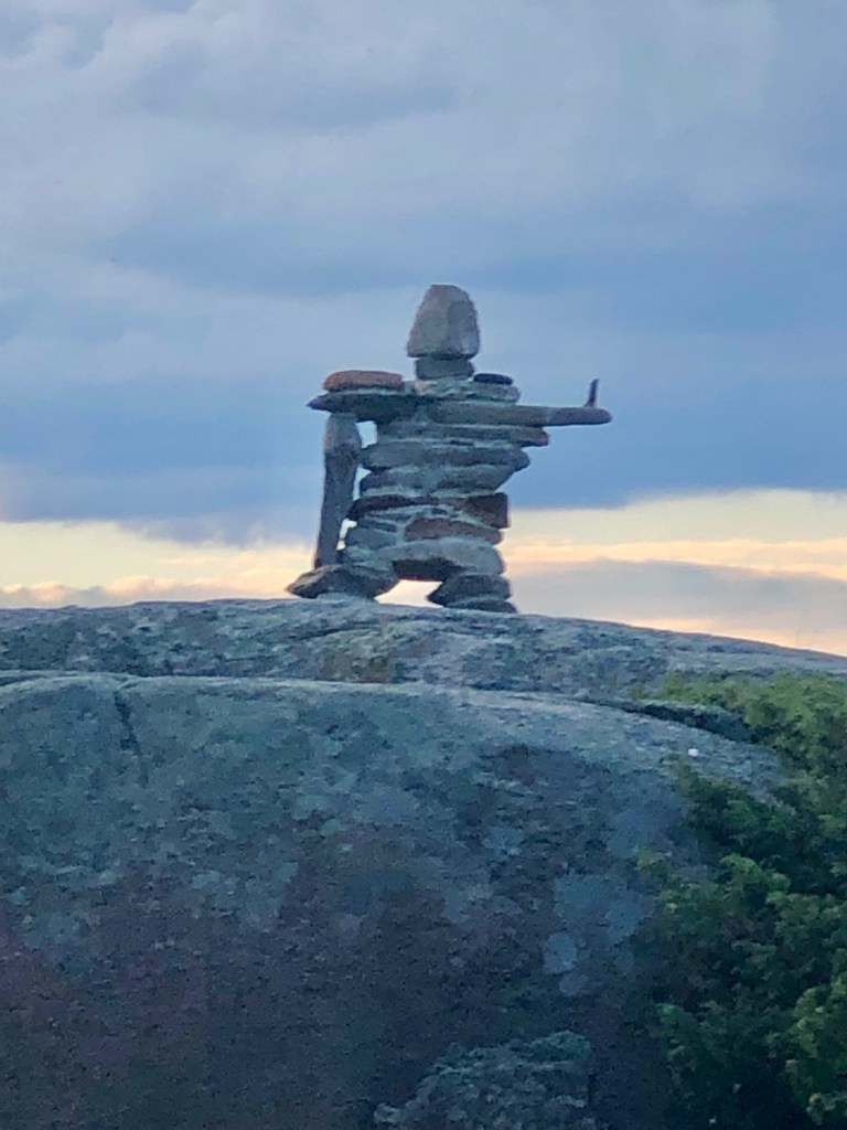
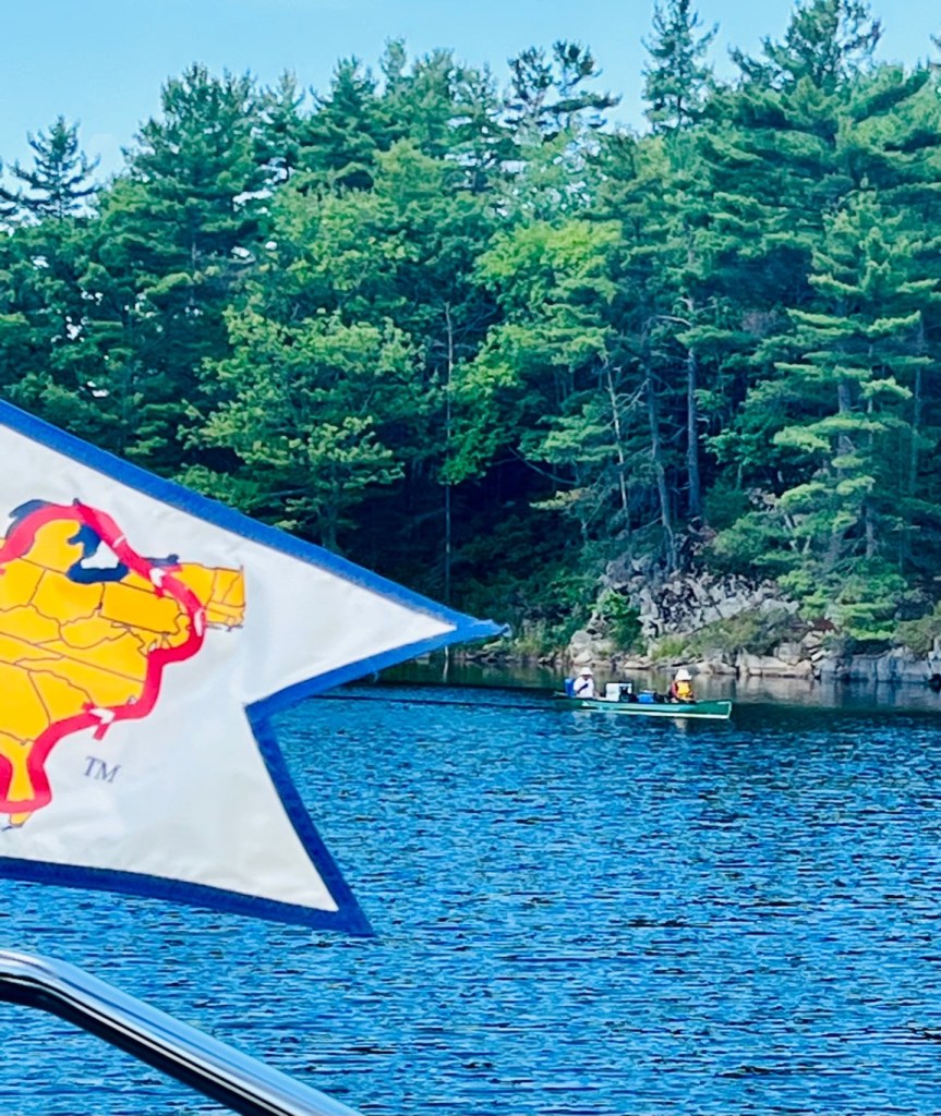
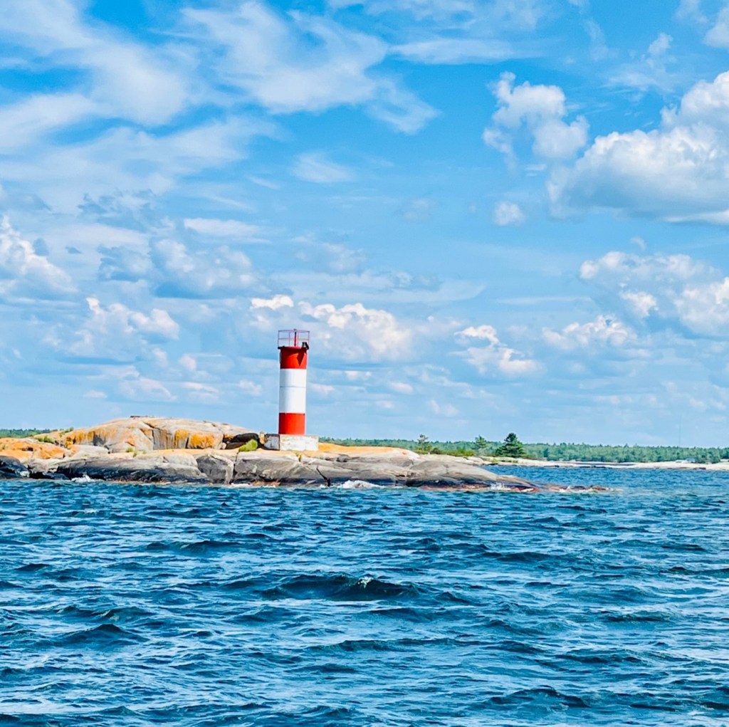
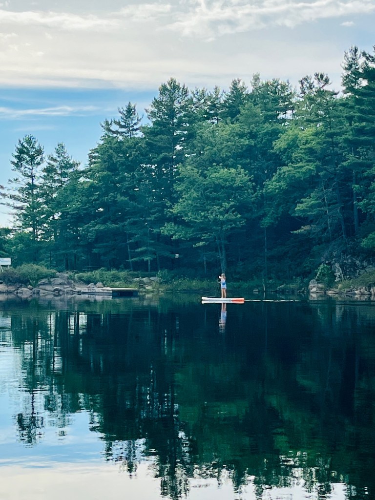
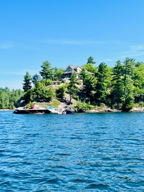
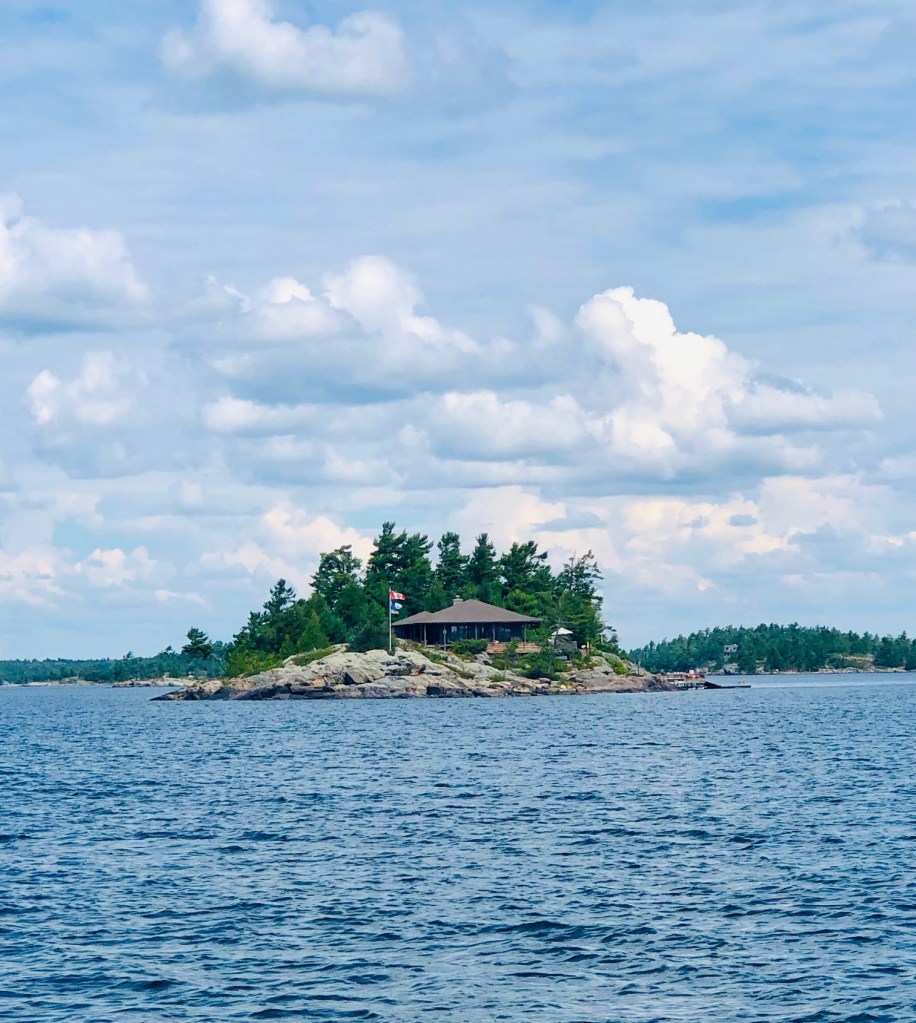
Here are photos from our first four days of gunkholing – August 14 – August 17. We anchored the first night in Indian Harbor, and the next three in Three Fingers.


4 responses to “Exploring Georgian Bay”
Just beautiful pictures…thank you so much for sharing.
LikeLiked by 1 person
Thank you Alyson !!
LikeLike
This place looks very pristine.
Be careful and have fun.
LikeLike
Wow! Beautiful pictures. Thank you for sharing your beautiful adventure. U r a photographer, guide, storyteller… is theeeir anything u can’t do well?
All is well in S FL. No named hurricanes yet. Normal temps w nice ocean breezes.
We miss your smiles & joy, Blessings Florian & Karen
LikeLiked by 1 person