
October 29, 2023
Some Days Are Good, Some Not So Good
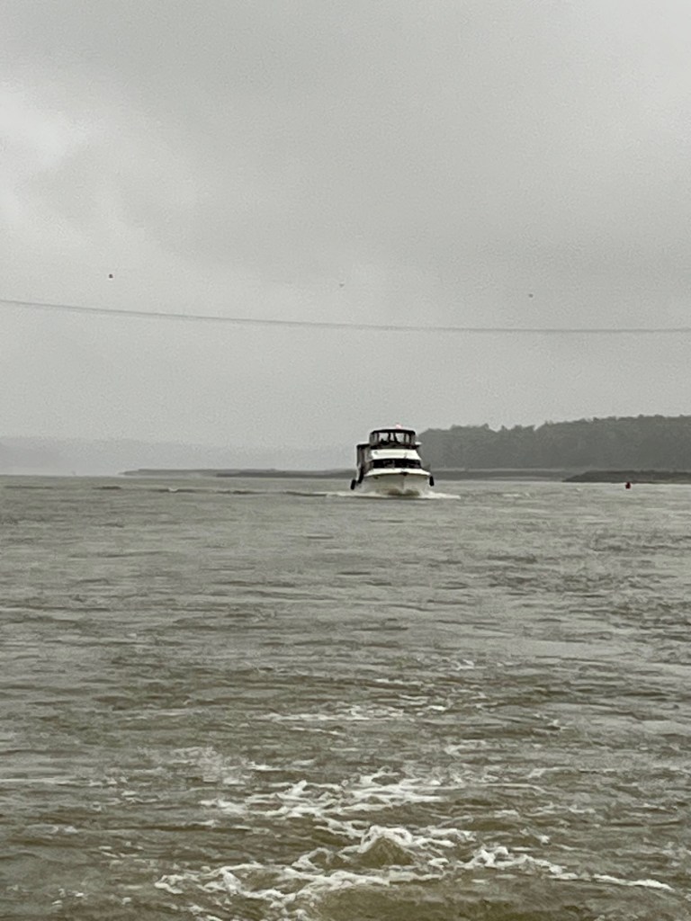
The rain has not subsided. The wind kicked up overnight. The Captain keeps adjusting the anchor alarm, expanding the distance so the alarm will stop sounding.
Leaving Cape Girardeau, Mark on Paradise tries to connect with the boat anchored near him. Mark doesn’t want to run over his anchor when he departs. It’s early and we figure they are sleeping.
Finally, the boat captain responds, and Mark can steer Paradise out of the anchorage. We are ahead waiting for him.
There Really Is No Place Like HOME
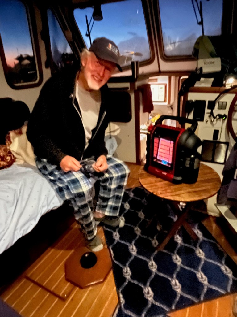
I’m a firm believer in counting your blessings. But these two days it just seems the wind and rain and fog are relentless. We haven’t stepped off the boat in 48 hours, sleep is limited and nerves are on end. As my brother Gary commented in a text “sounds like it’s just one of those days.”
It is so cold. We keep the windows and doors open so the interior windows do not fog up and Captain Pat has some visibility. The hatches are leaking. Bowls are everywhere to catch the water.
We’ve lived in Florida 30+ years. I’ve always been one to denounce Florida’s lack of seasons and the heat.
I will never complain again. I’ve decided, sure, it is nice – almost fairy tale – to experience the snow and cold when you are bundled up and it’s for a few hours, and then you are back cozy inside sipping hot coffee, wrapped in a comforter.
But that is not this experience. -😊 I think of the homeless, and how desperate they must feel when the frigid air hits and they have to seek cover. This trip has given me a new perspective on truly counting my blessings.
Entry Into the Ohio River
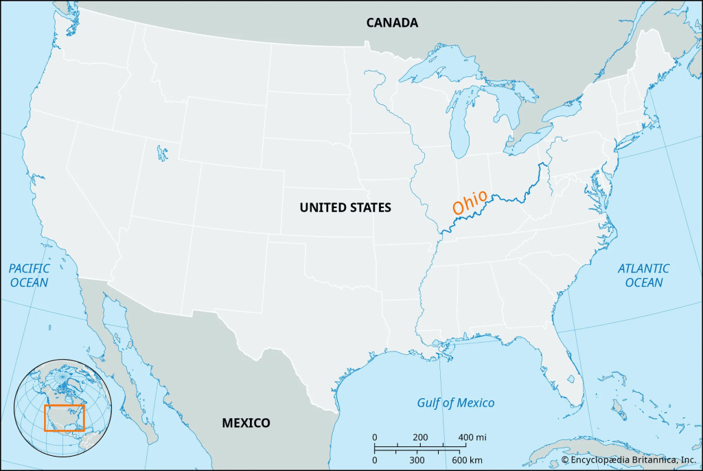
Entering the Ohio River is an exciting moment for me. I grew up in Owensboro, Kentucky, on the Ohio River across from Evansville, Indiana. According to our Looper guidebook, the Ohio River presents you with a mighty two – to three-mph current. Therefore, 6-knot boats become 3-knot boats and 13-mph boats become 9-knot boats.
The guidebook also says this is one part of the journey few Loopers enjoy. The last 48 miles to the Olmstead Lock 53 you are against a mighty two- or three-mph current, slowing you down. You never know how long it will take to get through the locks. It could be an hour, it could be twenty hours. The journey is safe enough, it is just the timing and slow pace that’s annoying.
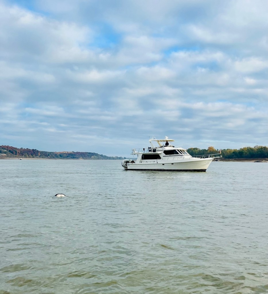
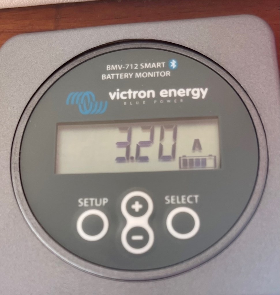
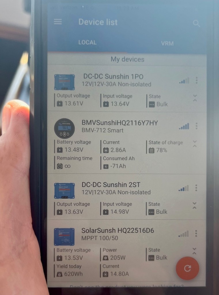
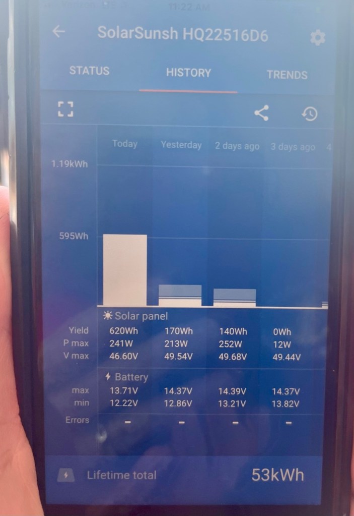
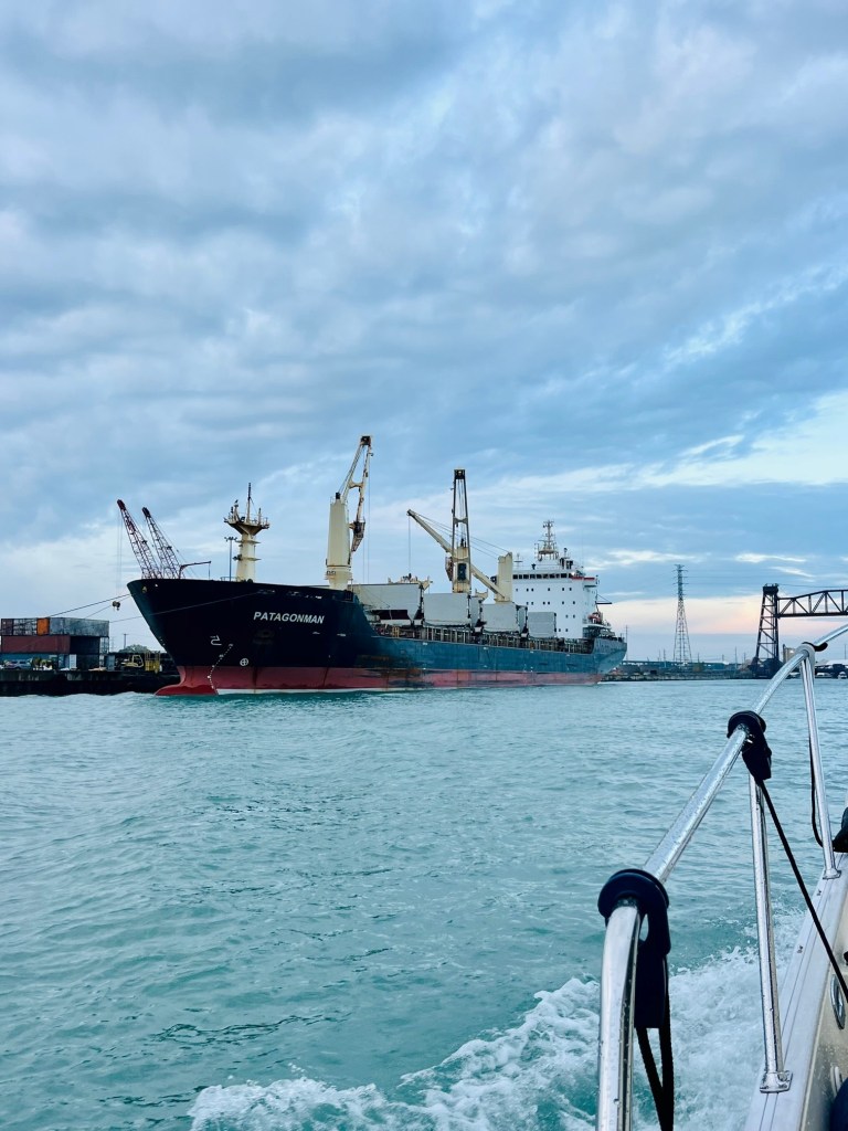
The Ohio River has a mighty current right at the junction of the Mississippi River. It is strong enough you notice your speed drops dramatically the moment you turn upstream on the Ohio. Loopers can misjudge the time and fuel it takes to reach Paducah. You need to know your GPH fuel burn rate.
Boaters are told to time your voyage to Paducah in daylight and watch your fuel levels. This leg of your voyage is the farthest distance between fuel stops – and Paducah is no longer a fuel stop. Their power is out. Paducah is unable to offer fuel due to a power outage.
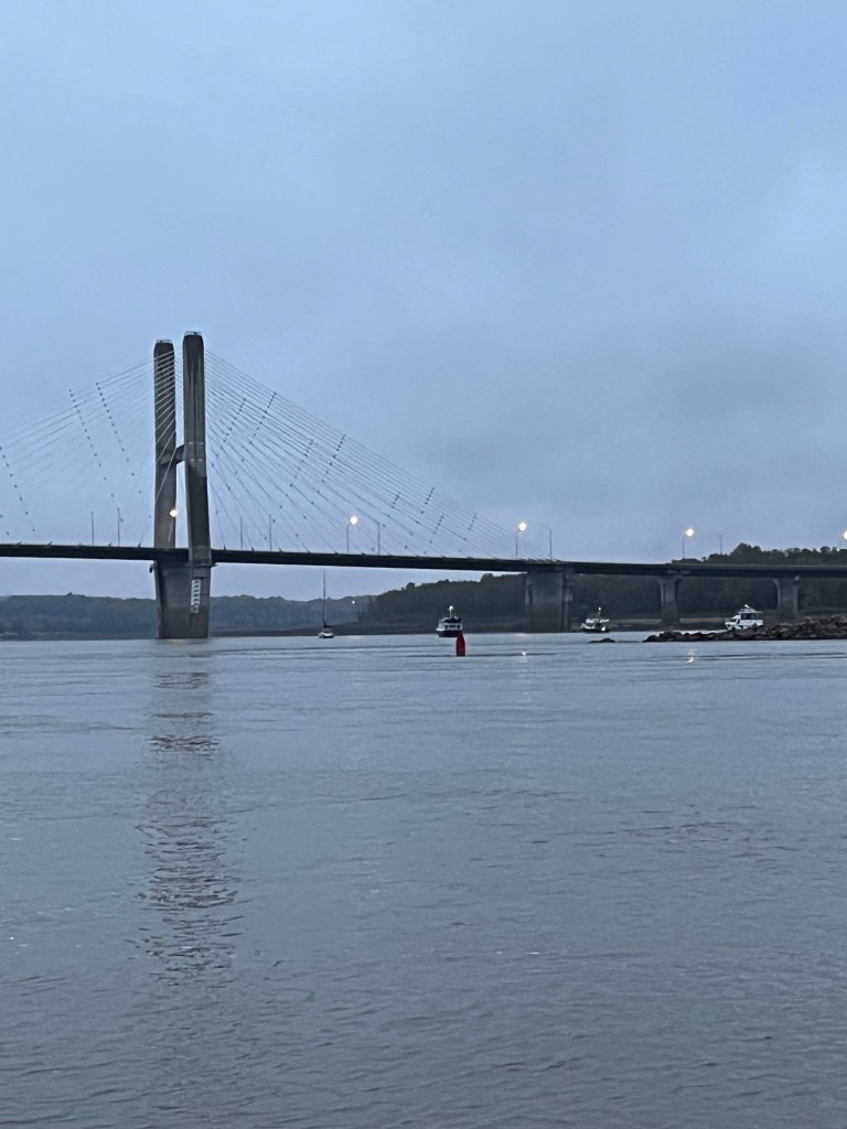
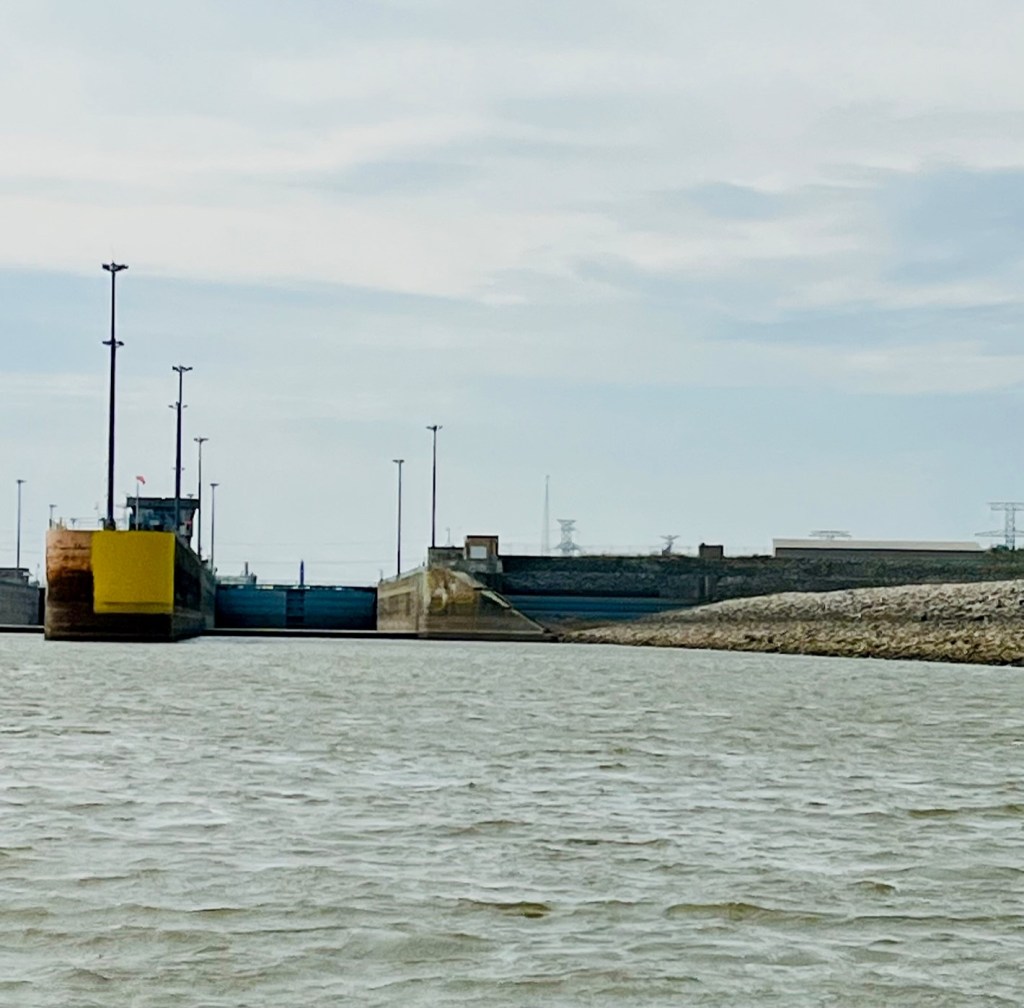
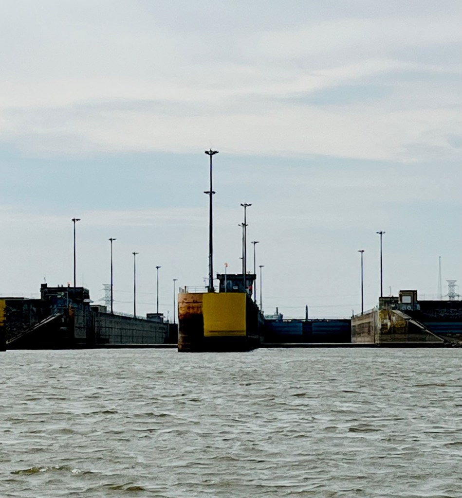
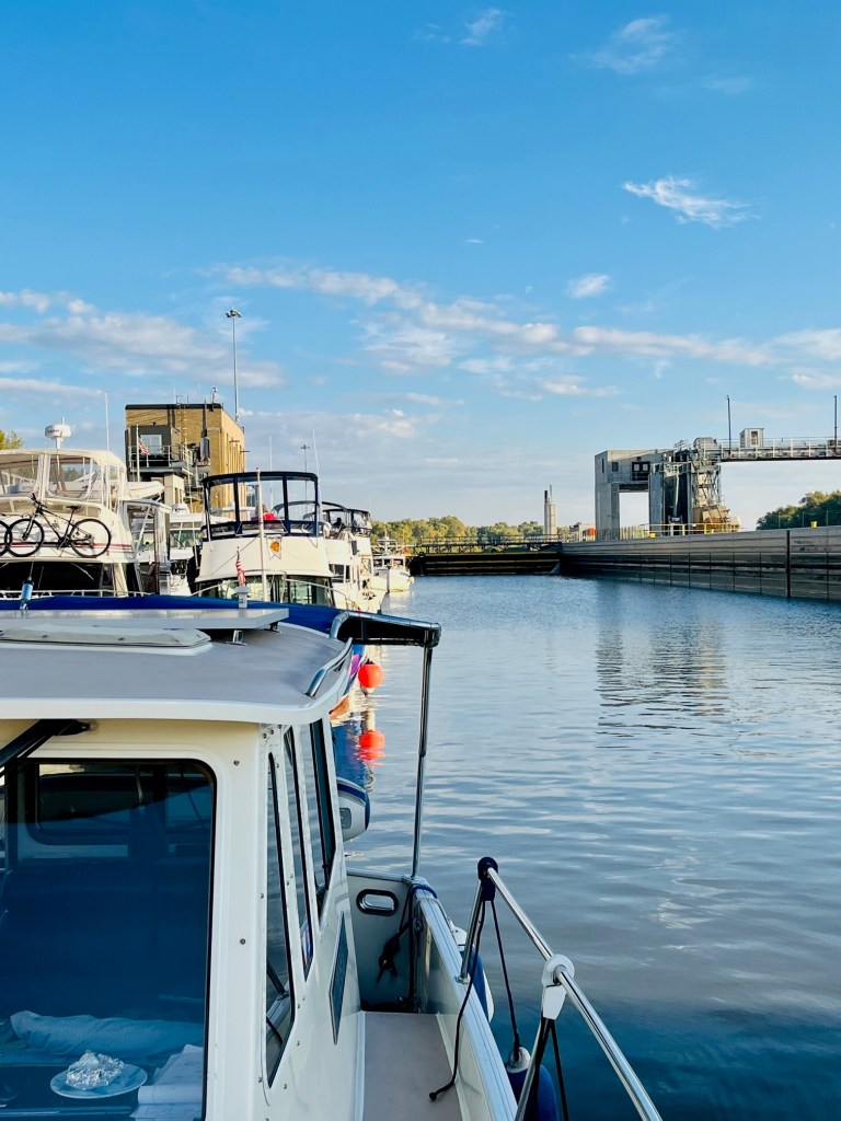
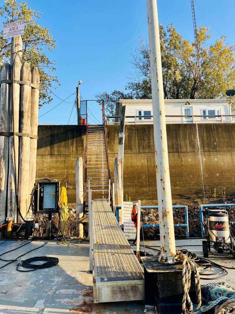
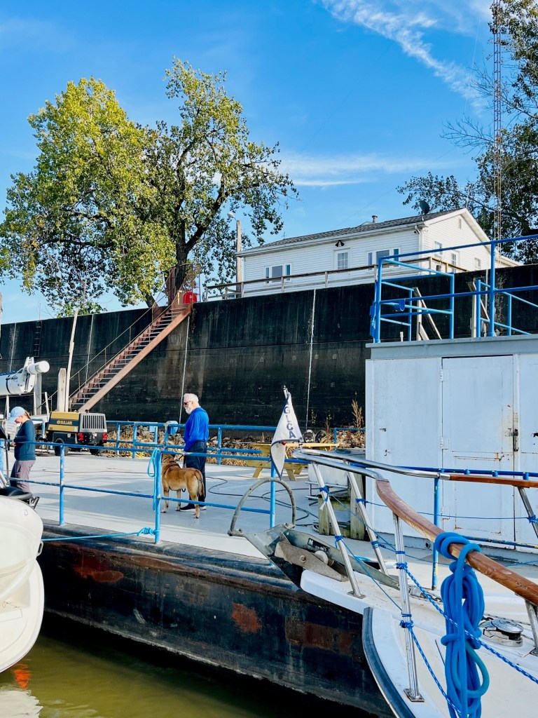
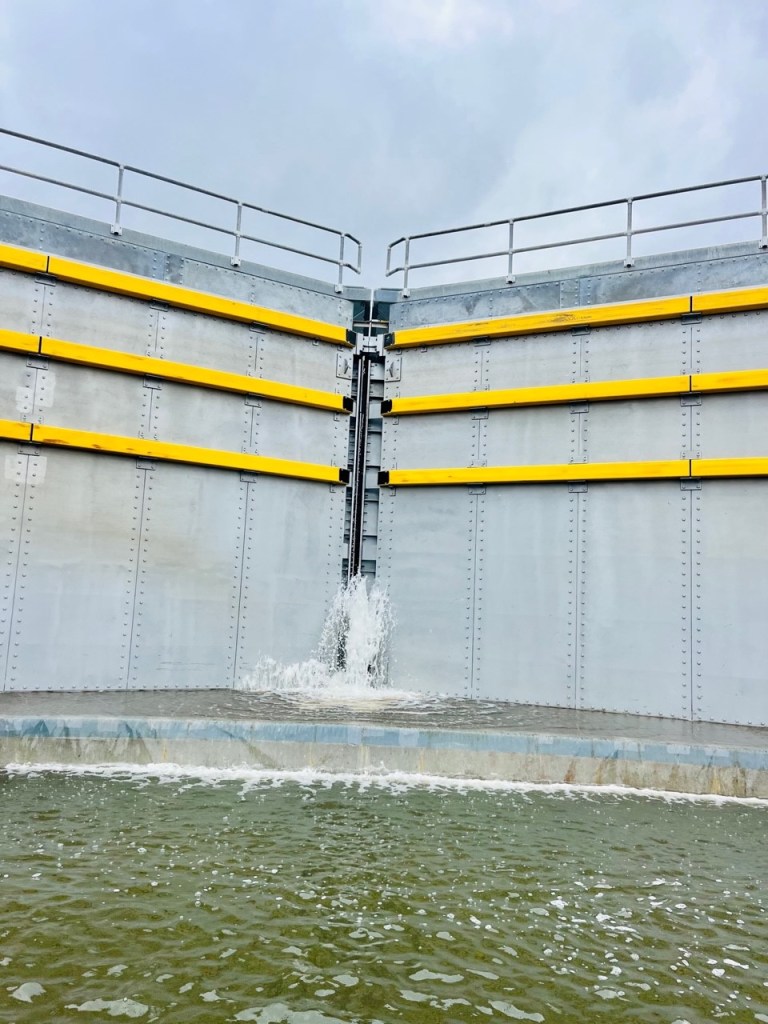
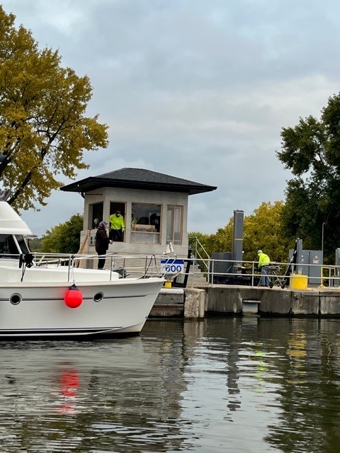
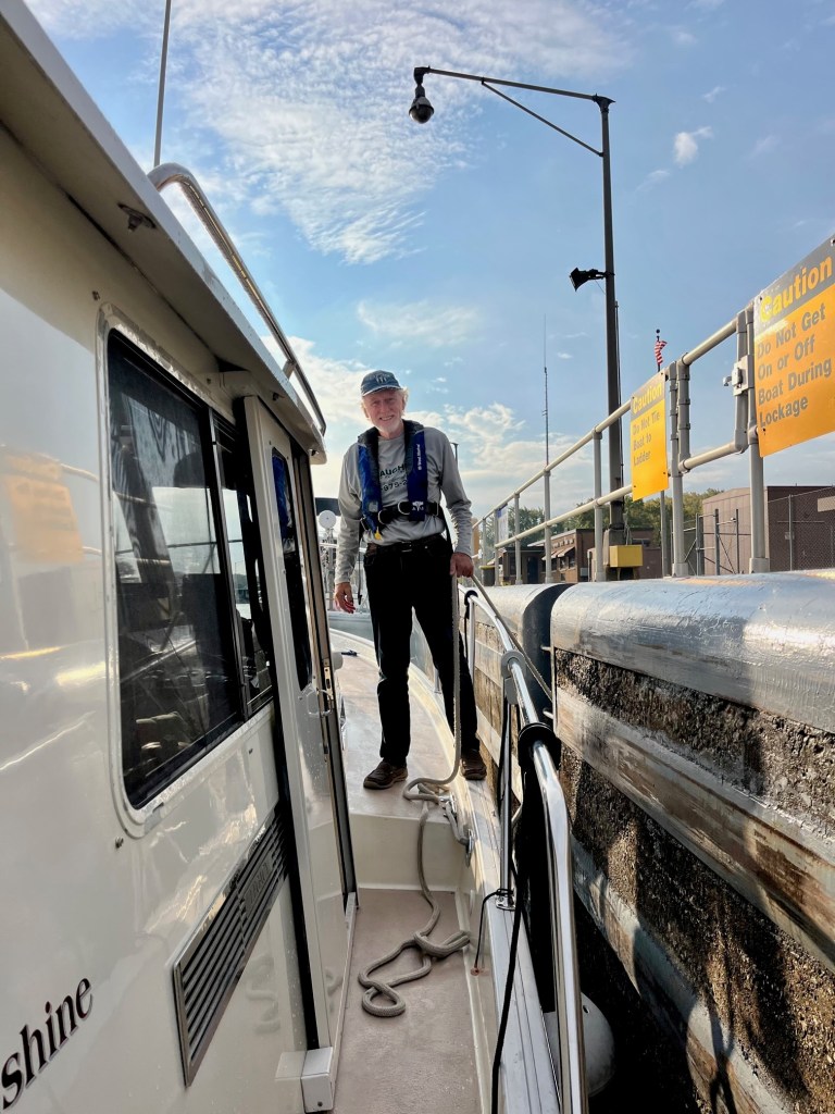
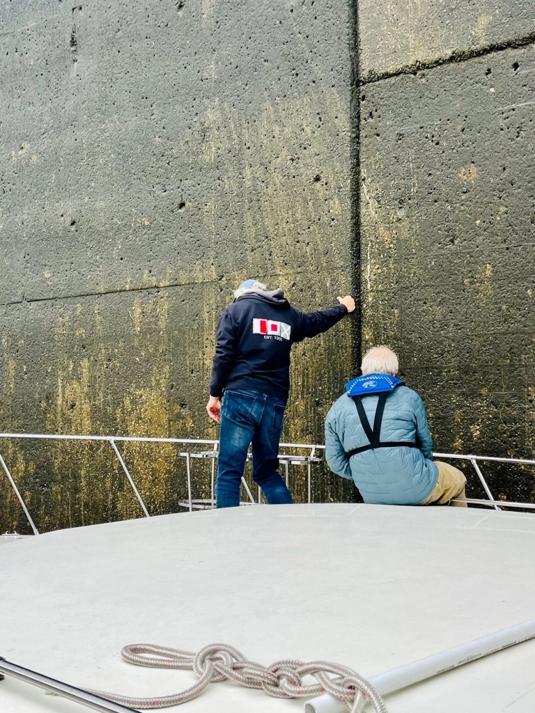
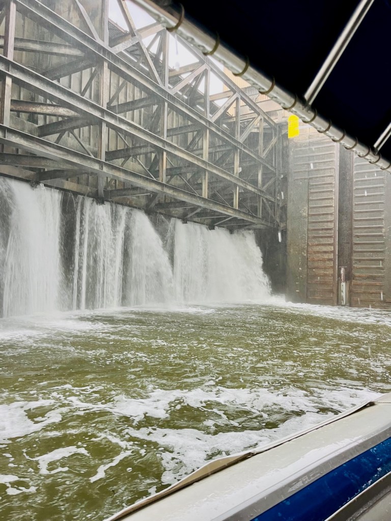
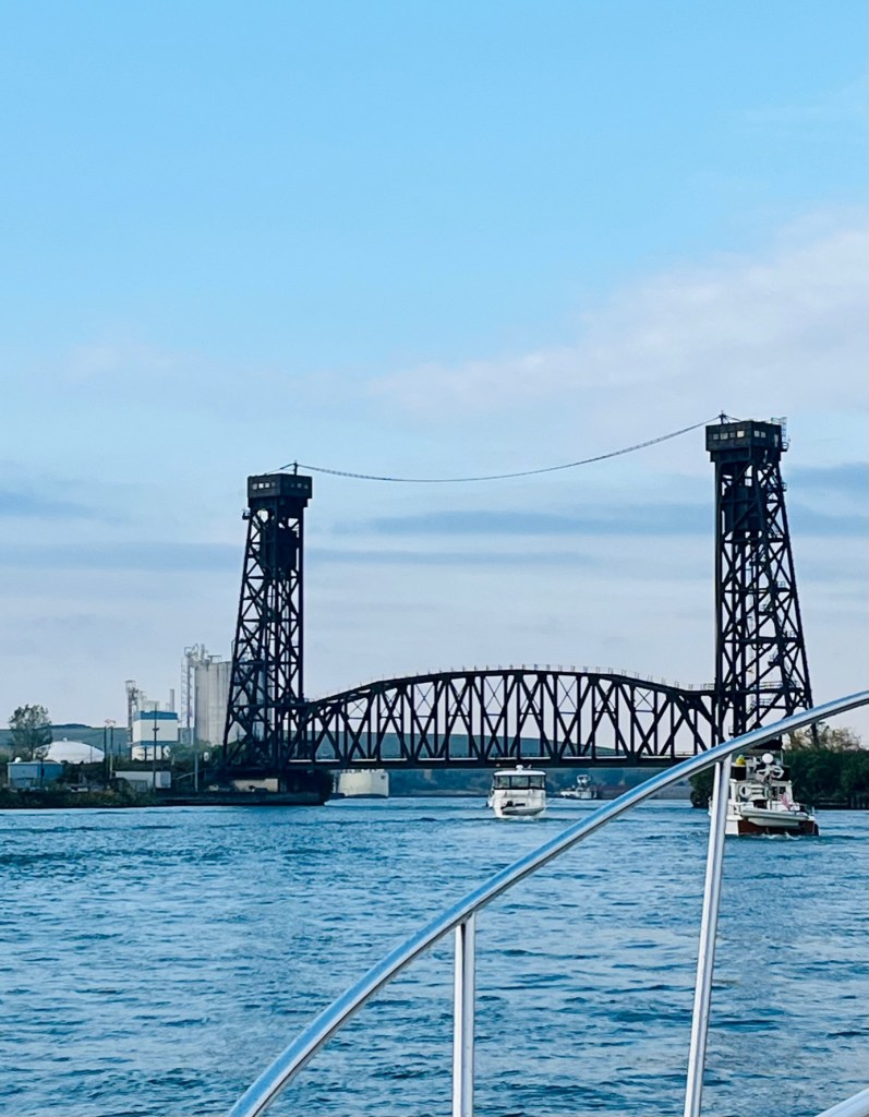
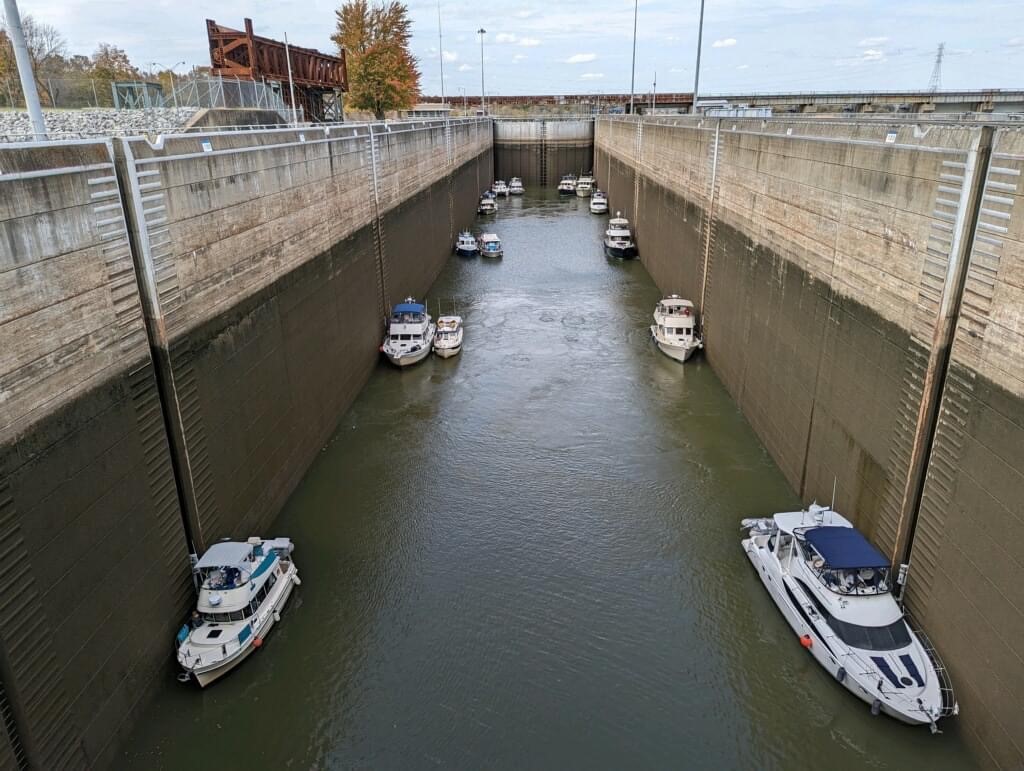
Entering the Olmstead Lock
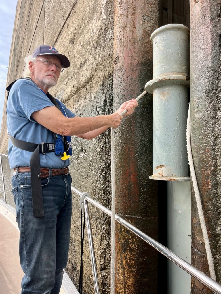
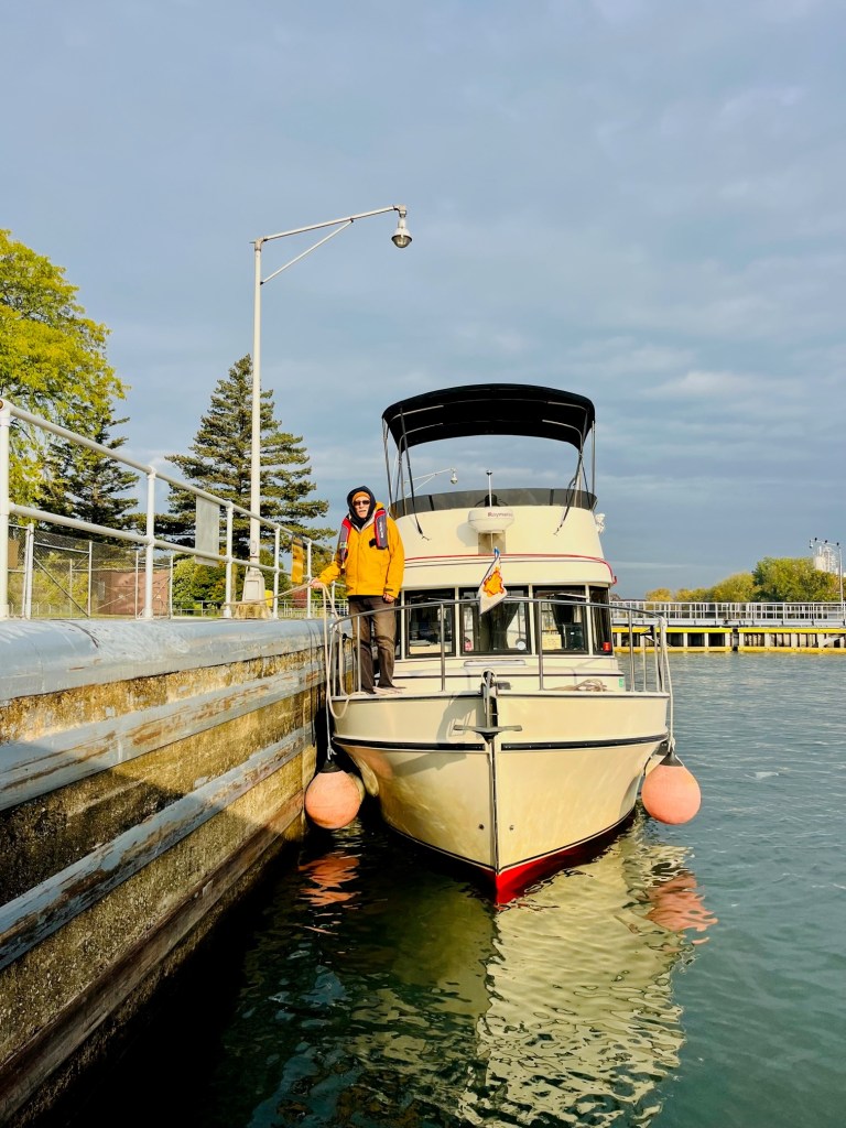
We are anxious as we approach the Olmstead Lock as we’ve heard so much about the potential delays. As luck would have it – we do not have to wait! It is raining so we do get drenched. What a good feeling, though, to exit and get the lock behind us.

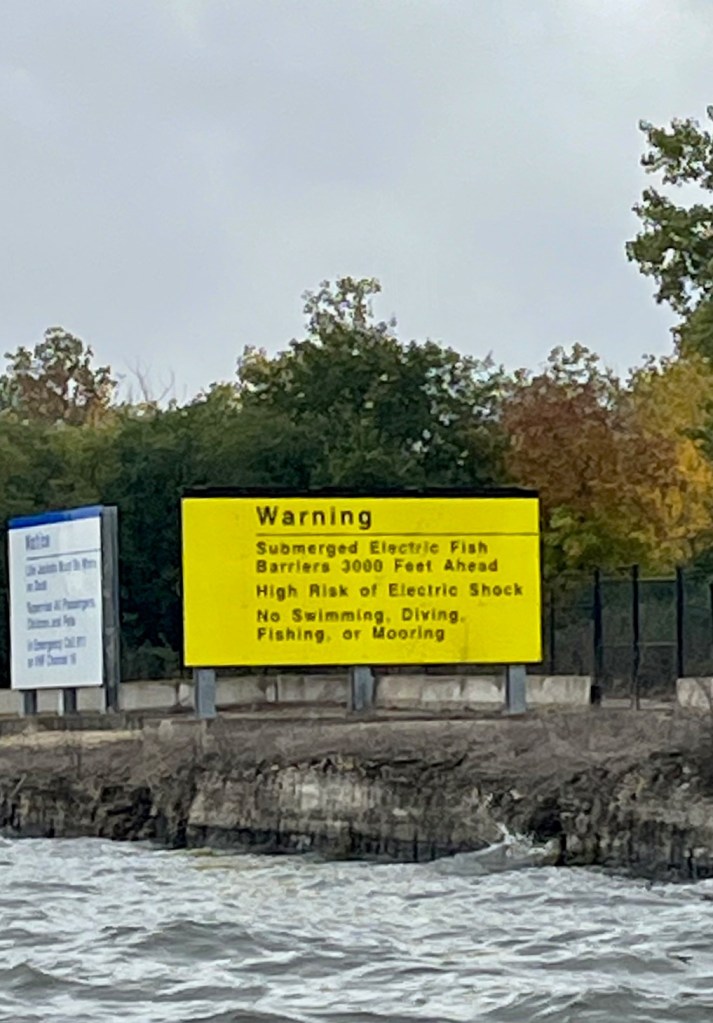
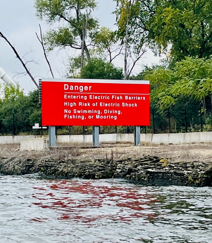
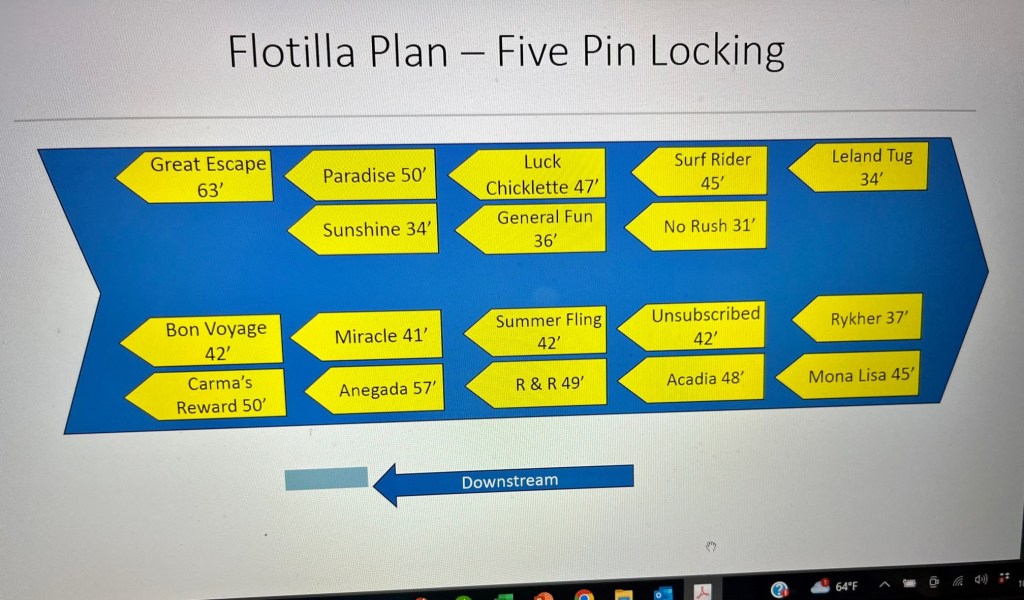
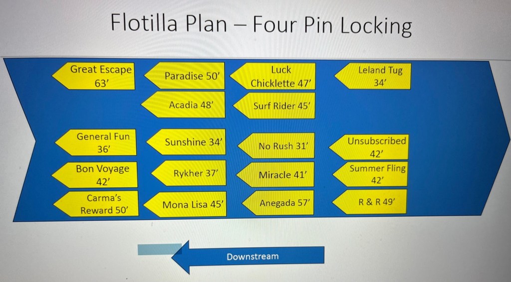
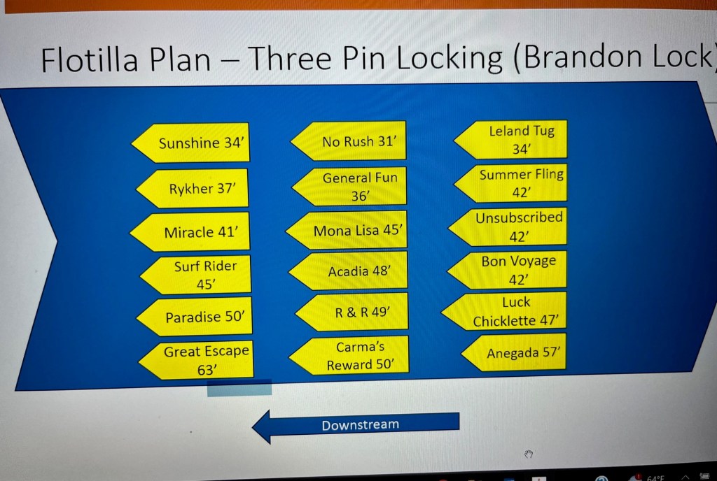
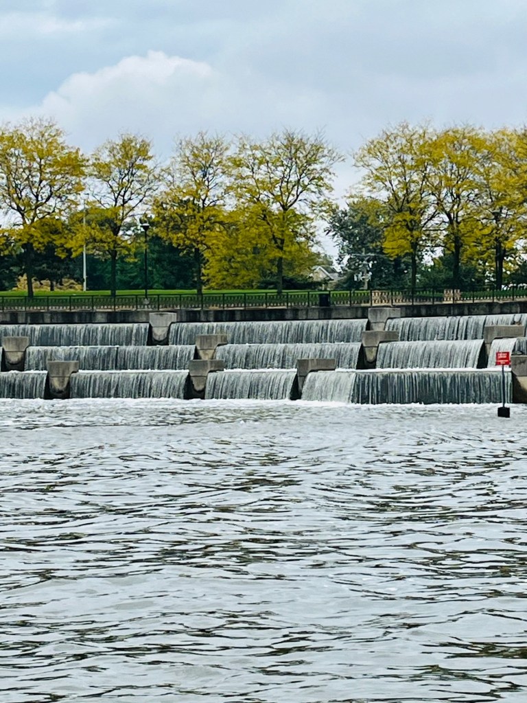
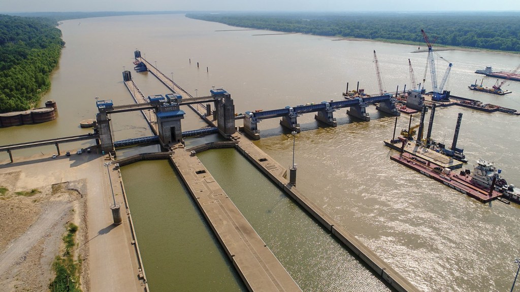
Overview of the Olmstead Lock and Dam
What does ‘lock and dam’ mean?
Probably should have explained this before. The dams on the Mississippi River create a series of navigational pools. Each dam can be thought of as a step in the river as it descends to the Gulf of Mexico. A lock is used to raise or lower boats to the next pool in the system. A lock is a chamber that may be opened on either end to allow boats to enter or exit.
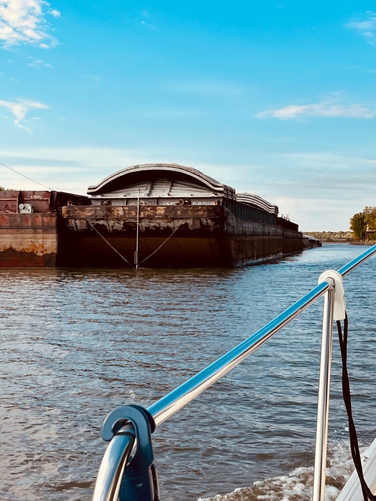
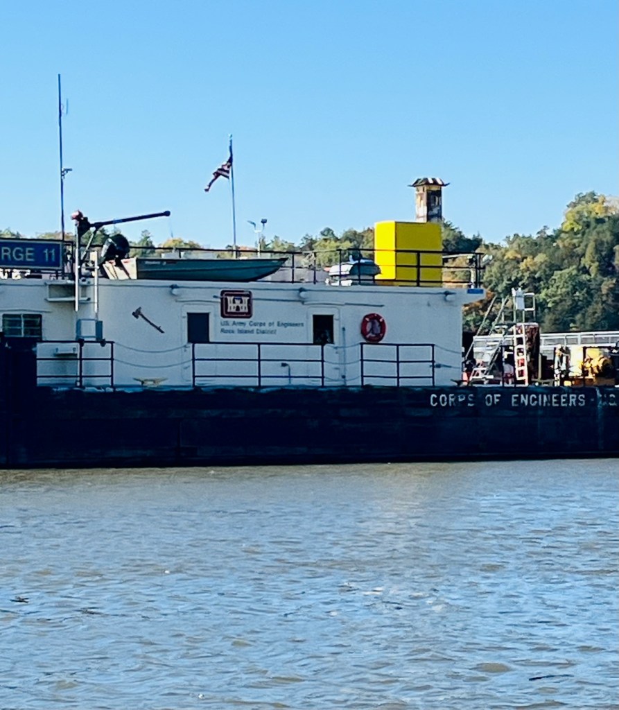
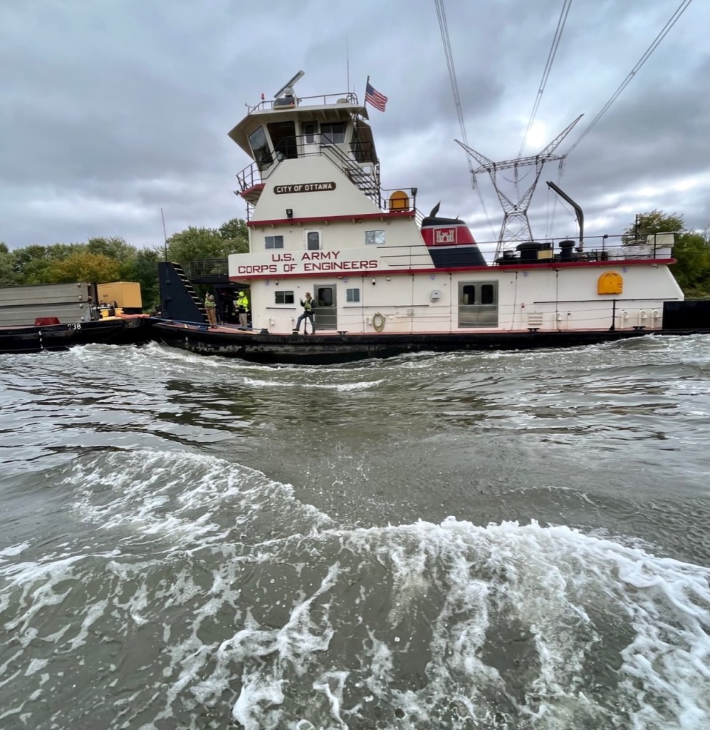
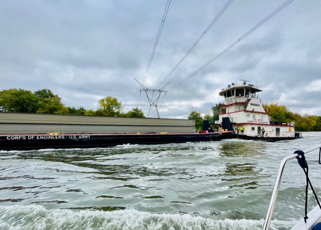
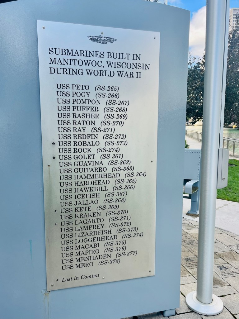
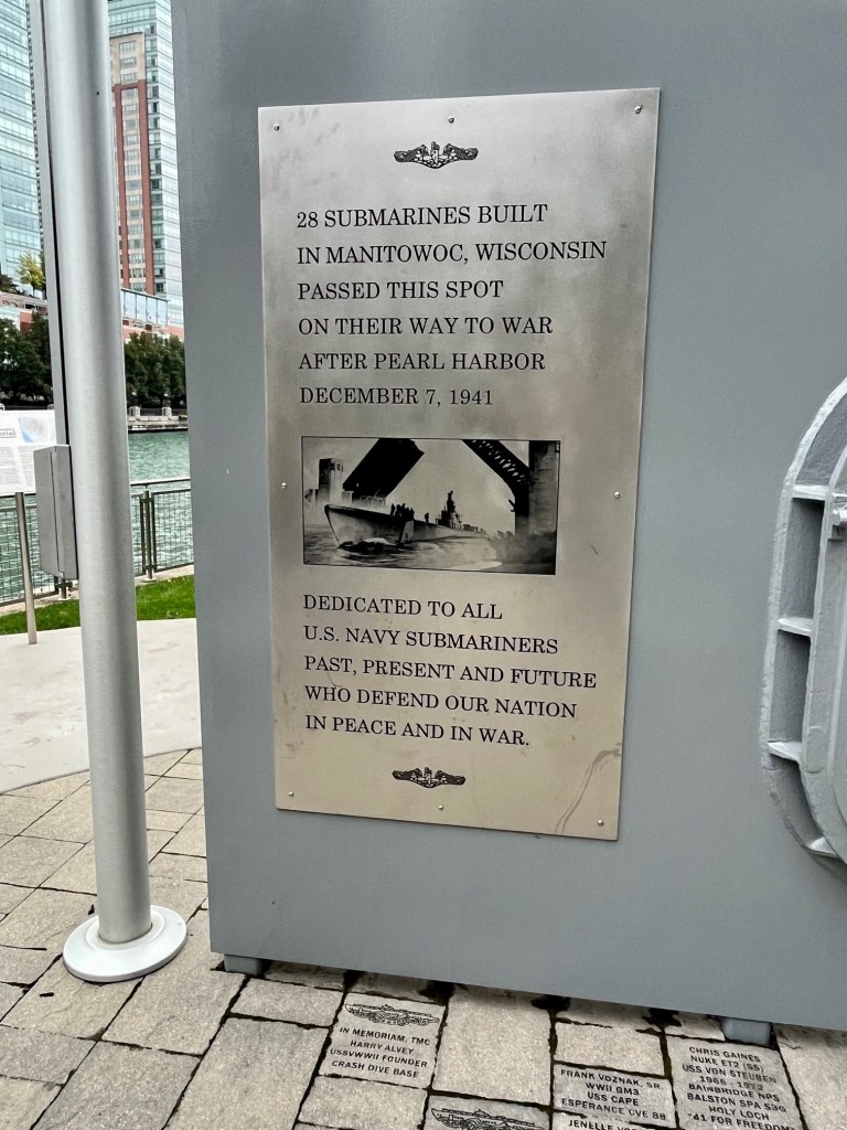
Near the confluence of the Mississippi, Ohio, Tennessee, and Cumberland Rivers is where more commerce traverses than any other location in the U.S. inland waterways. The Olmstead Lock and Dam is a lock and wicket dam on the Ohio River at river mile 964.4 The project will eliminate Locks Number 52 and 53 – they are well beyond their designed service life. There will be a fourfold increase in efficiency, reducing tow and barge delays.
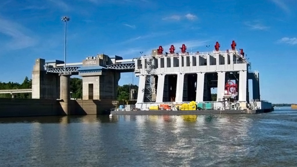
The project consists of two 110’ x 1200’ locks adjacent to the Illinois bank, and a dam comprised of five tainter gates, 1400’ of boat-operated wickets and a fixed weir. The estimated US$3 billion program cost is considered one of the nation’s most expensive, making the project one of the largest civil works ever undertaken by the U.S. Army Corps of Engineers (USACE).
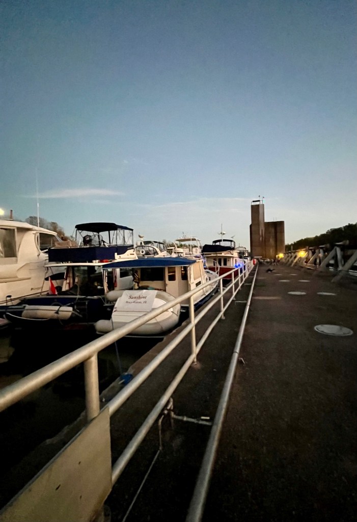
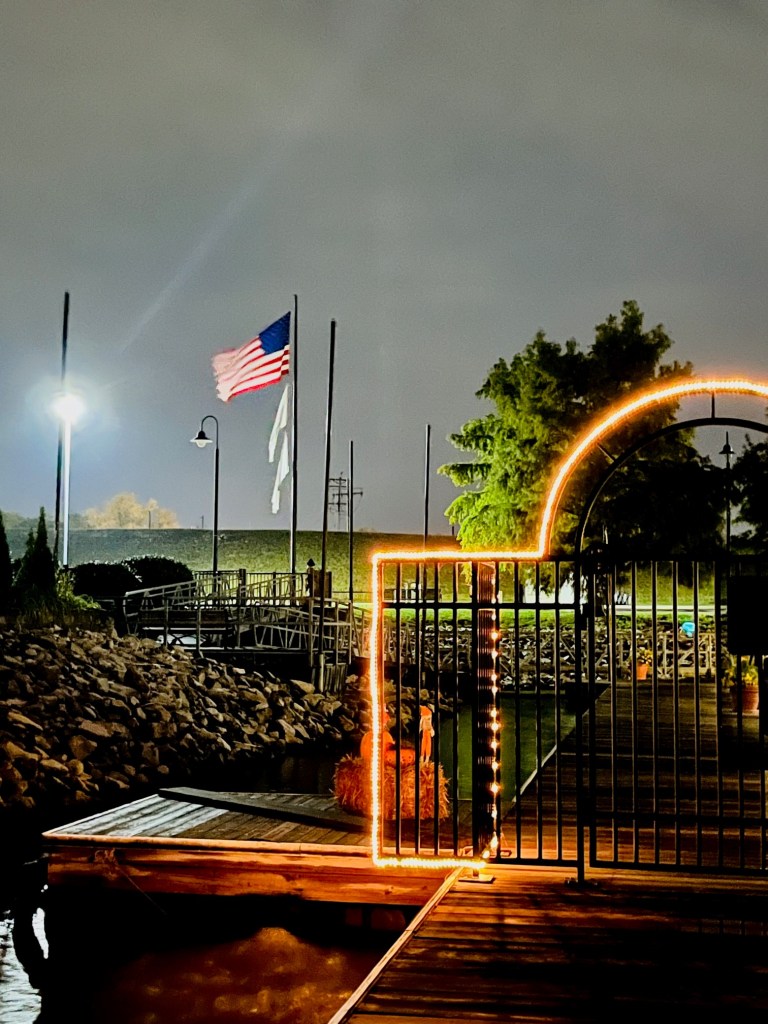
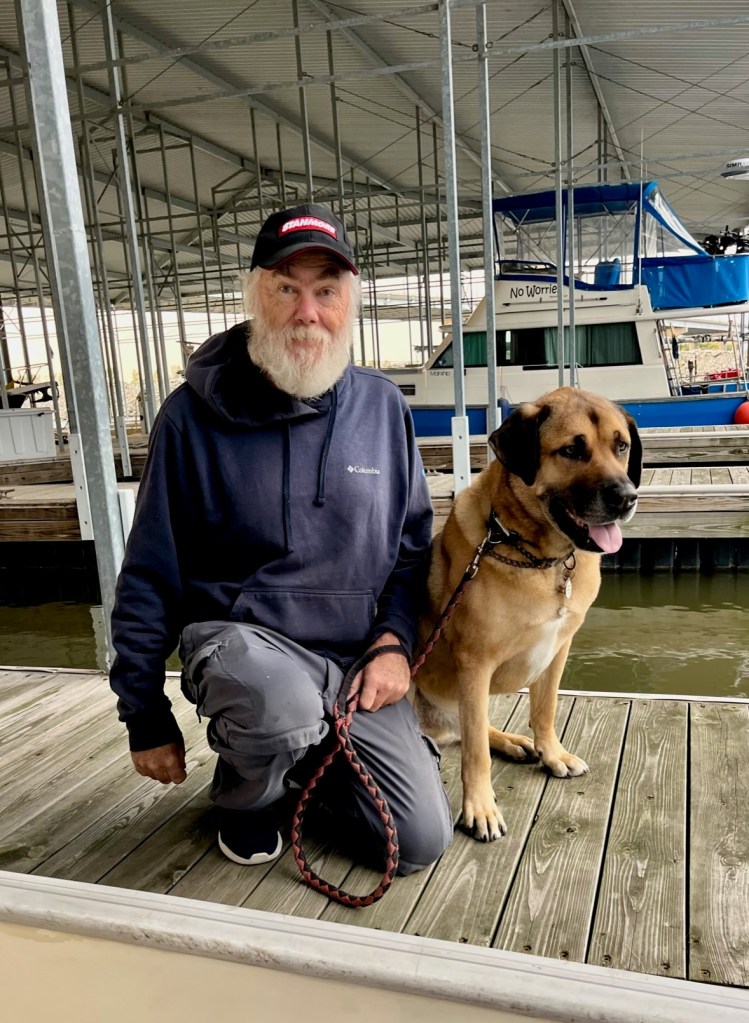
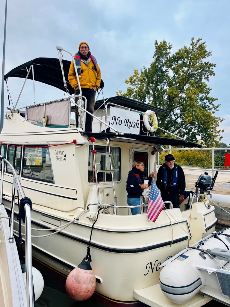
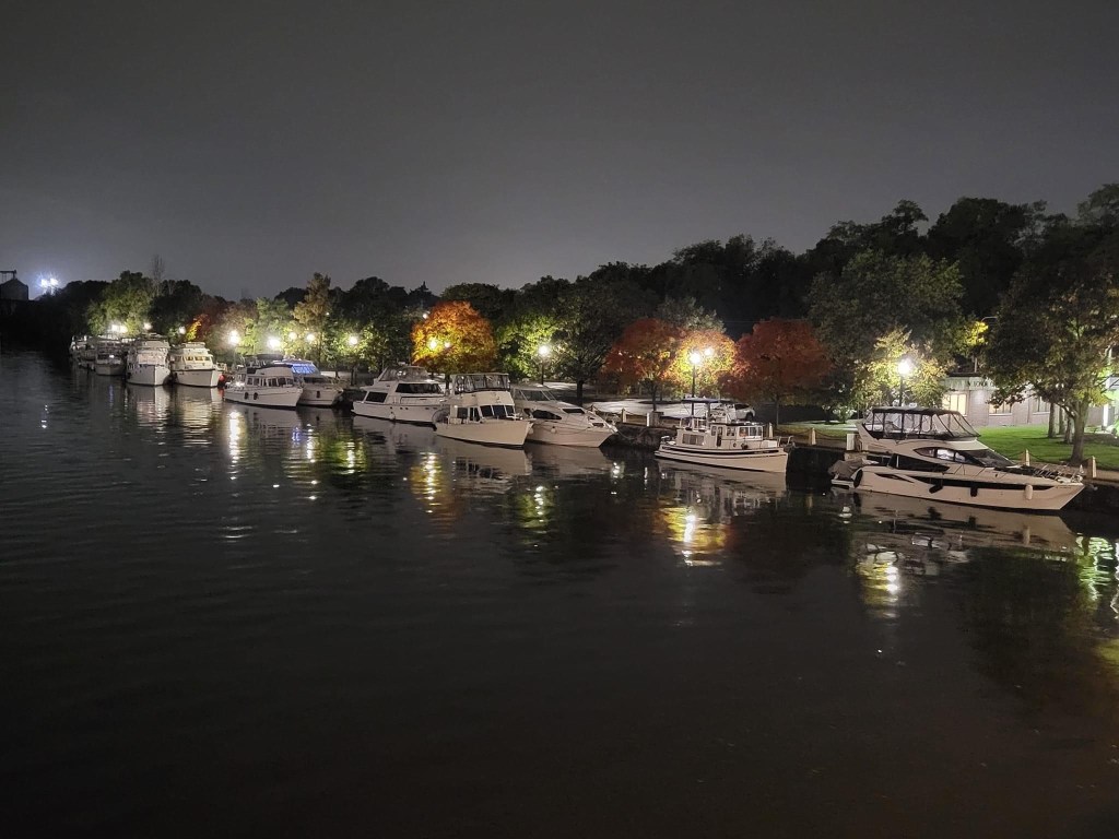
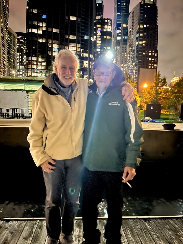
In Kentucky for the Night
We are still traveling with Mark and Mel on Paradise, and we decide to anchor in Bean Branch Creek, in Kentucky. Early night. Tomorrow we are off to Green Turtle Bay!

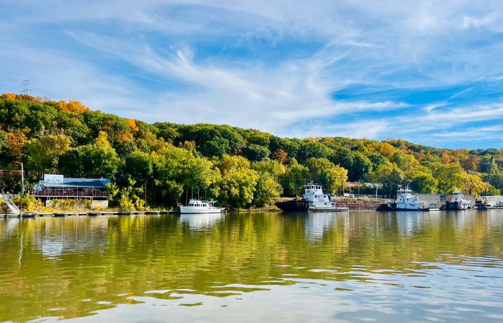
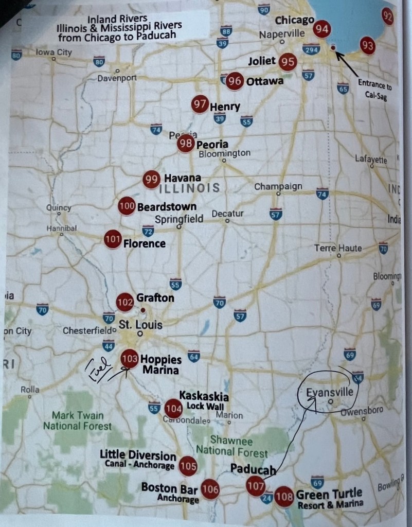
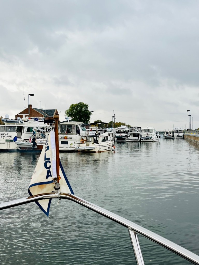
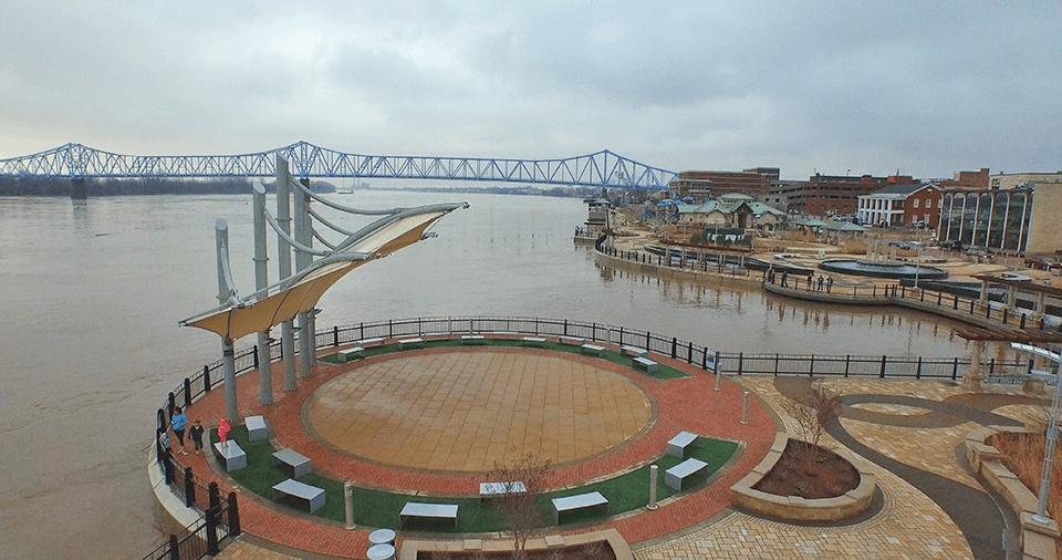
Paducah, Kentucky
Most Loopers stop in Paducah, Kentucky. From Paducah, you have two routes that reach both Kentucky Lake and Lake Barkley. The Cumberland River route is 43 miles, but generally takes less time. The Tennessee River route is half the distance, but can take twice as long due to the heavy traffic at the Kentucky Dam Docks.
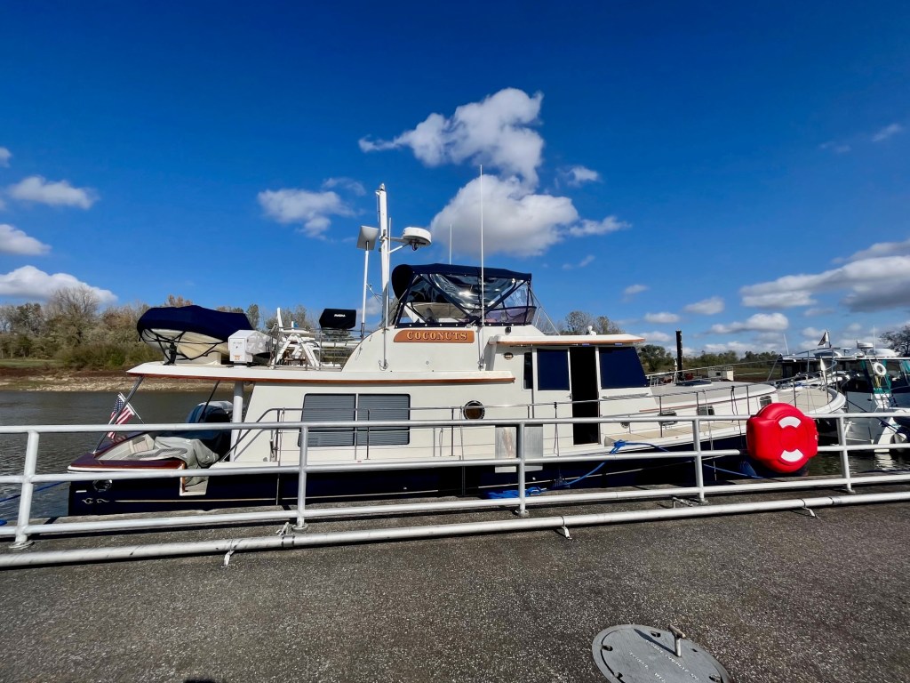
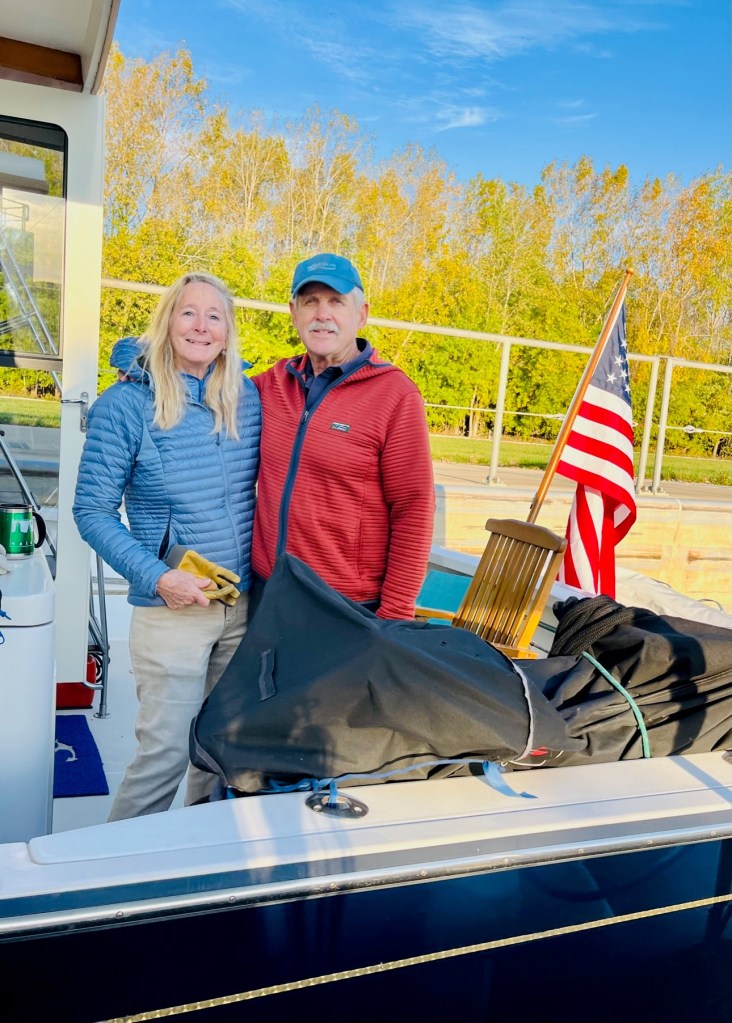
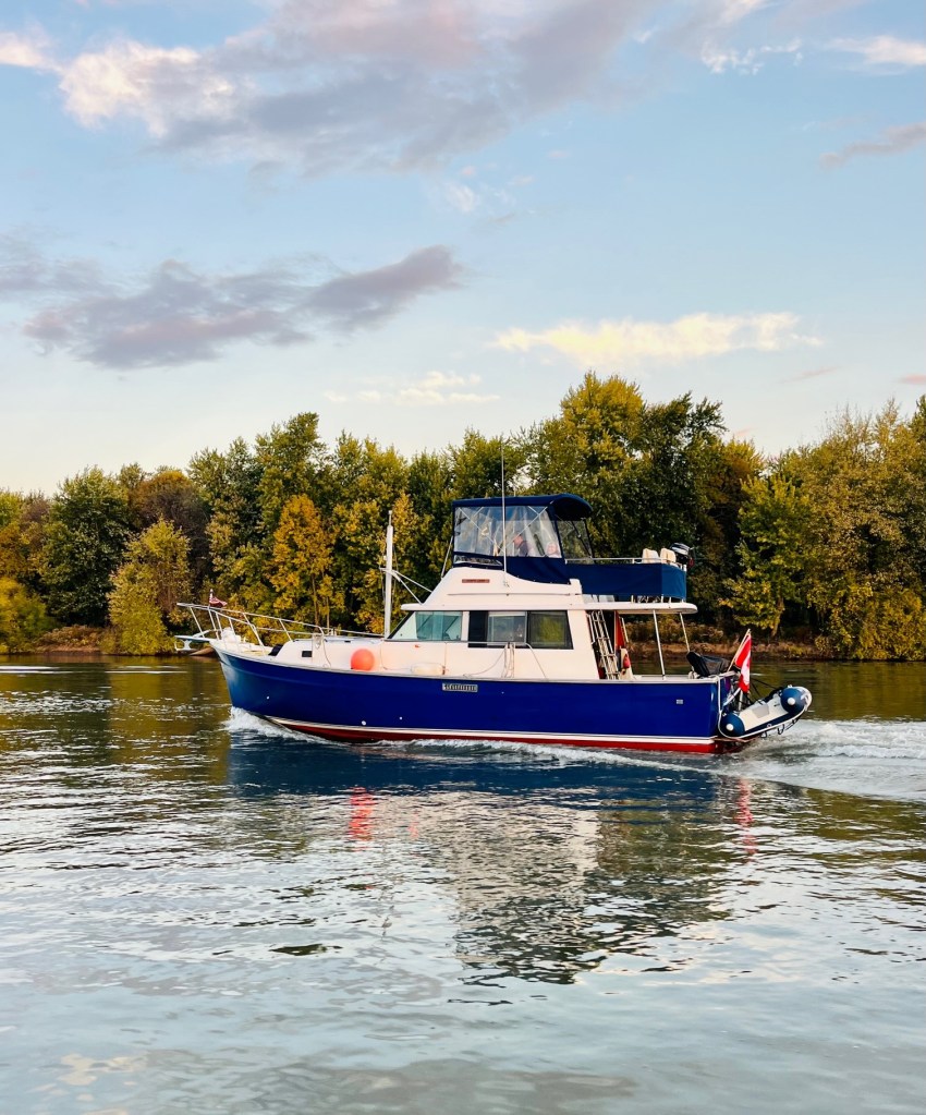
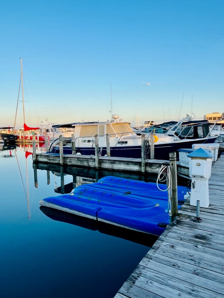
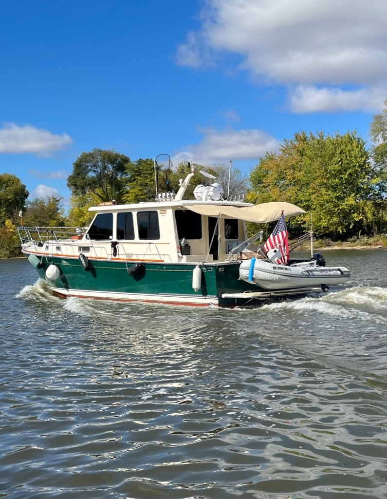
Sunshine is good on fuel and Captain Pat decides to make the long run from Bean Branch, past Paducah, and onto the Cumberland River to Green Turtle Bay.

Mark and Mel Bonds on Paradise join us. Captain Pat is disappointed he will miss the famous Quilt Museum in Paducah. (Joke.) I have heard it is a Looper favorite. My mother would have loved it.

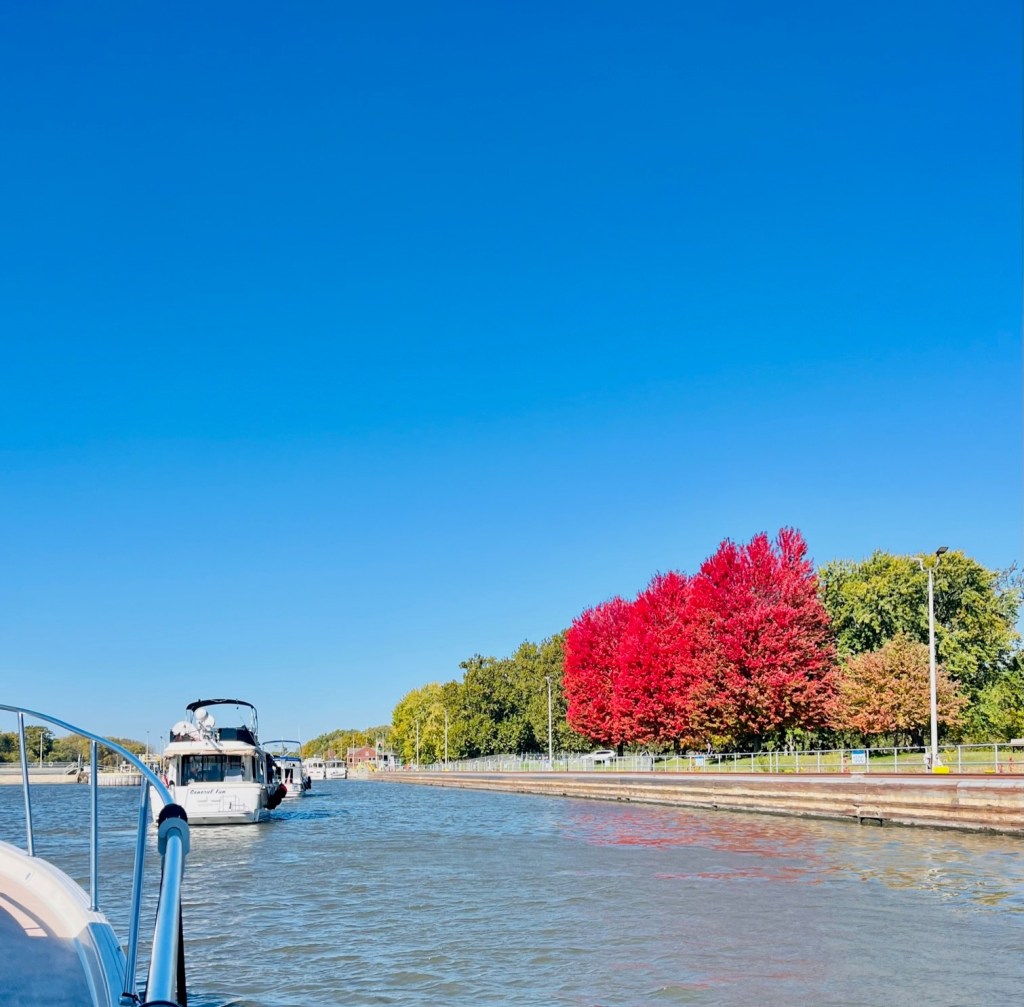
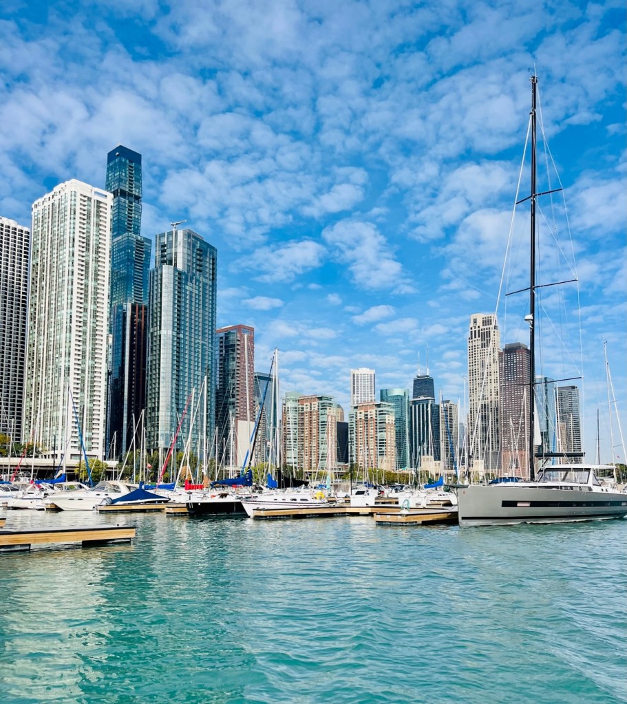
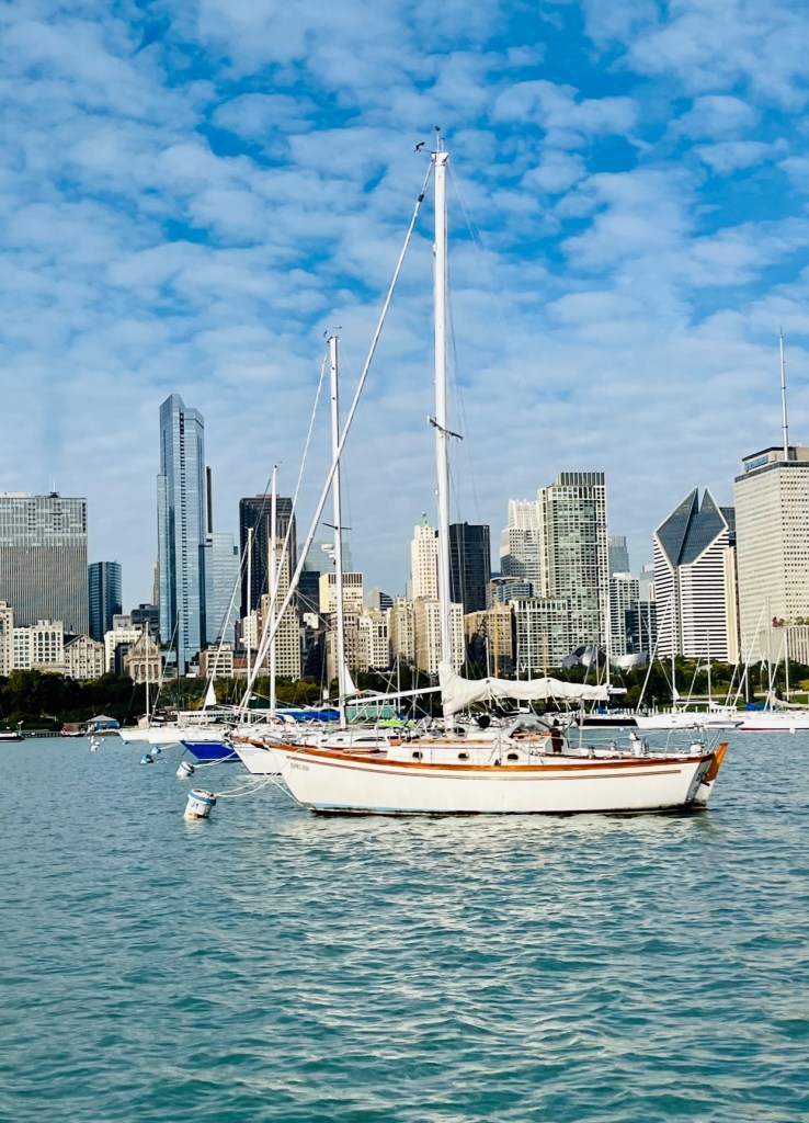
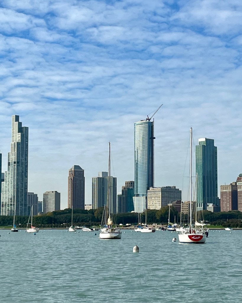
And did I mention – it is cloudy, but the biblical rains have stopped!
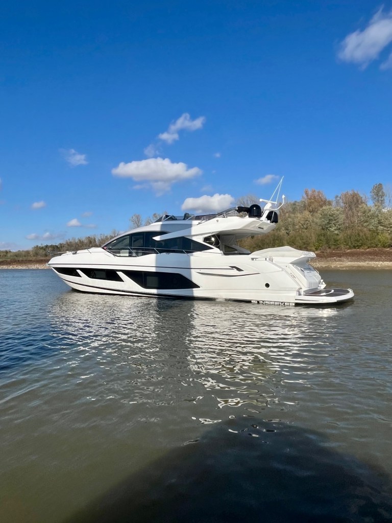
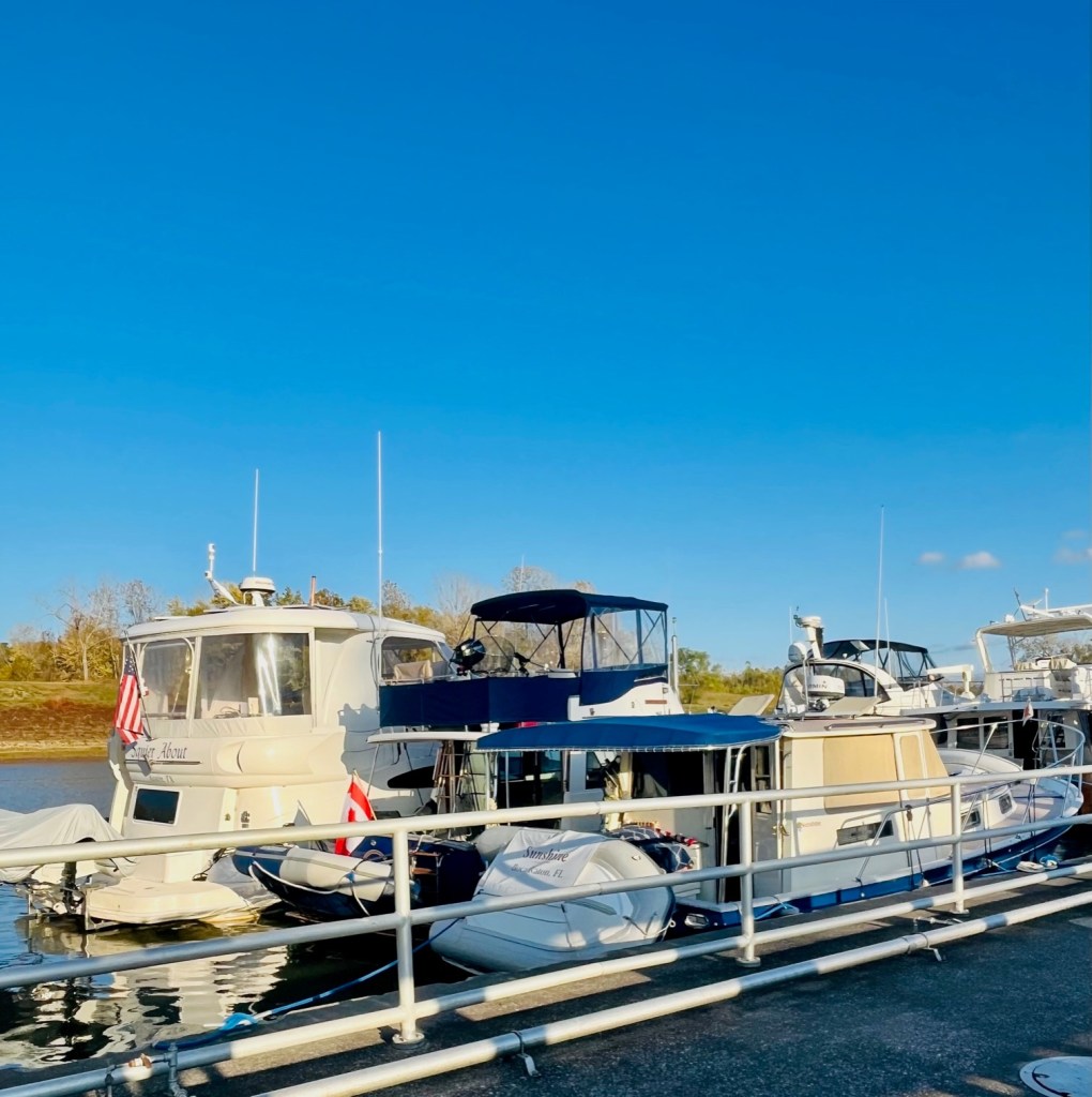
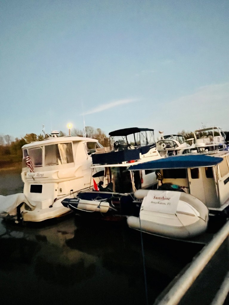
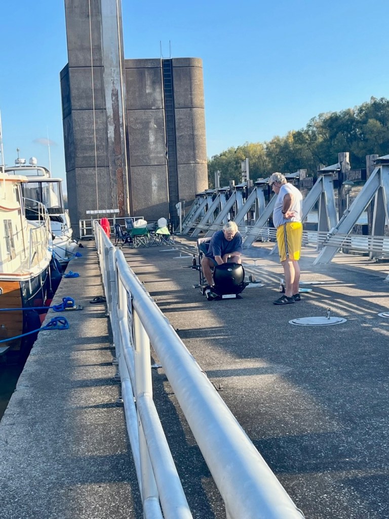
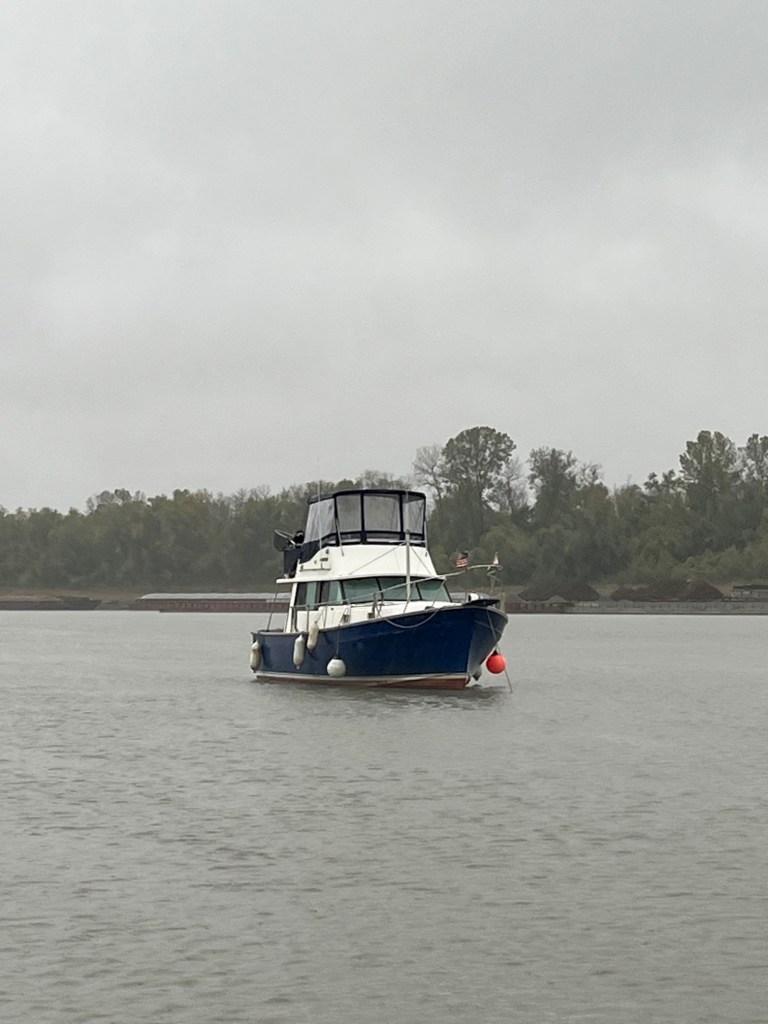
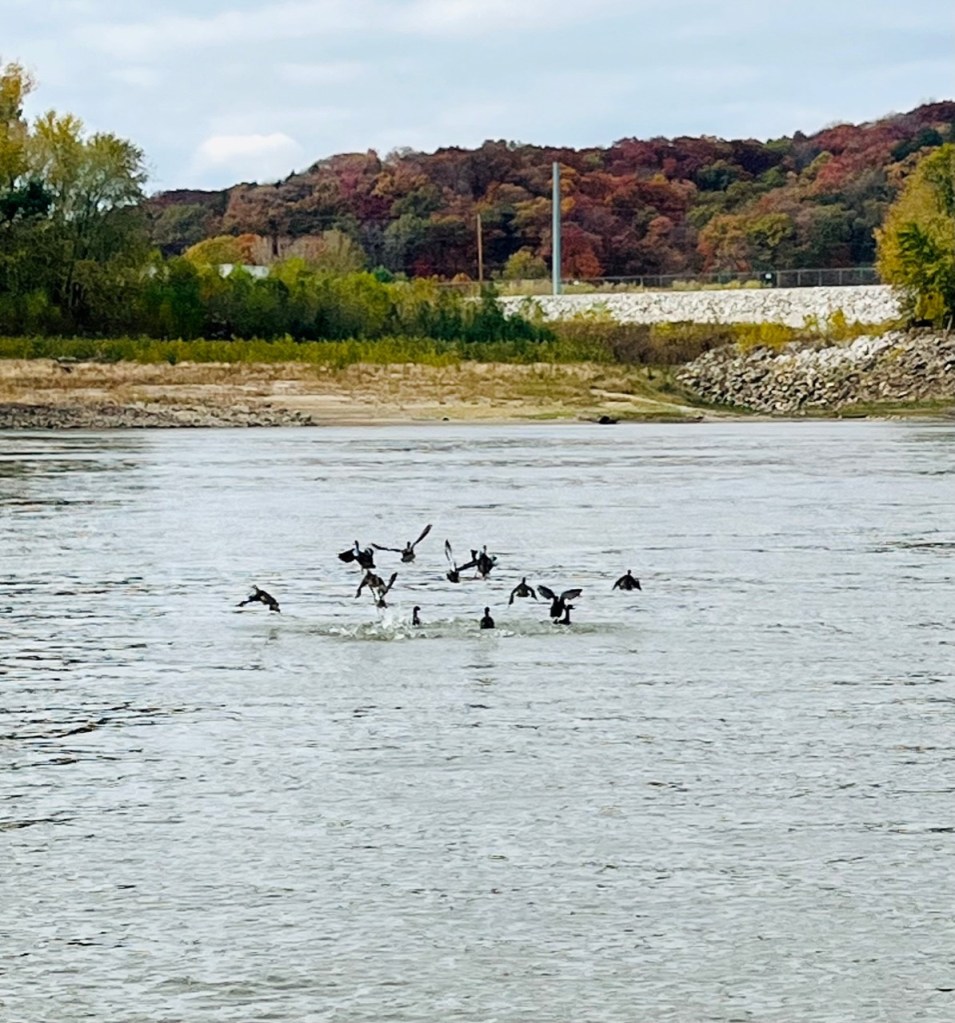
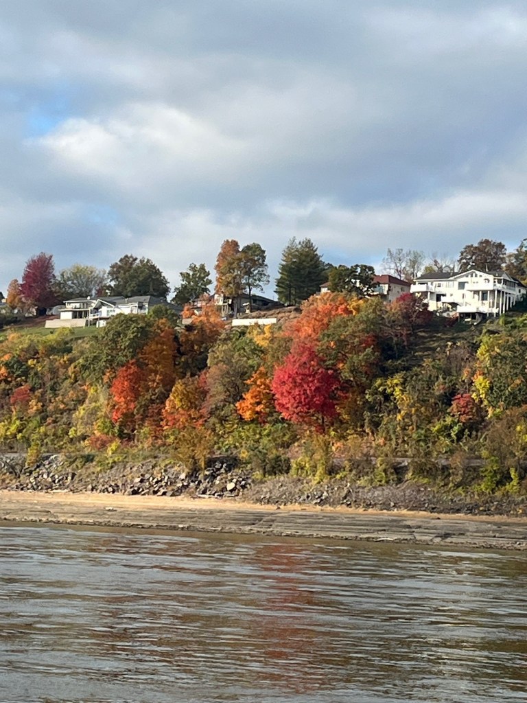
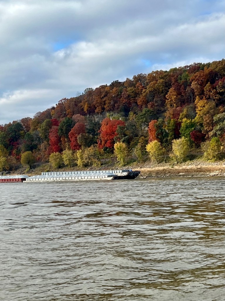
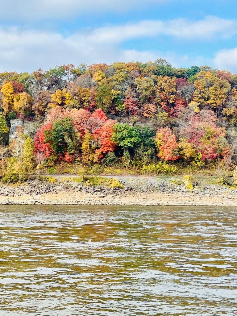
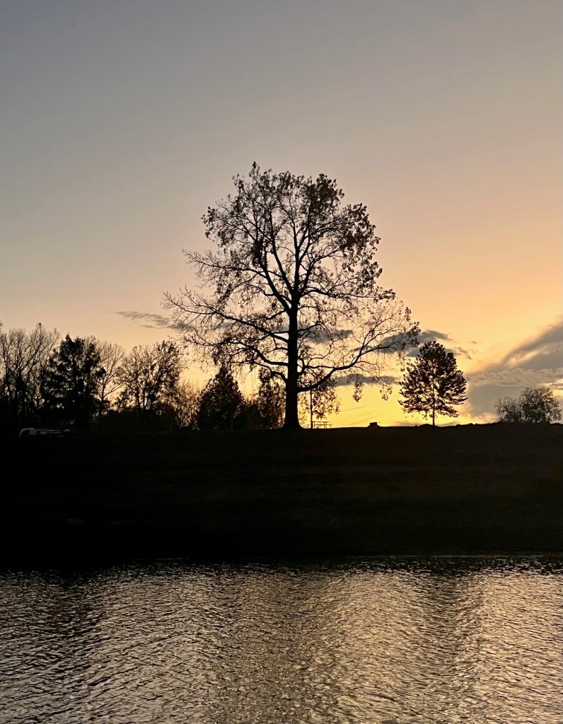
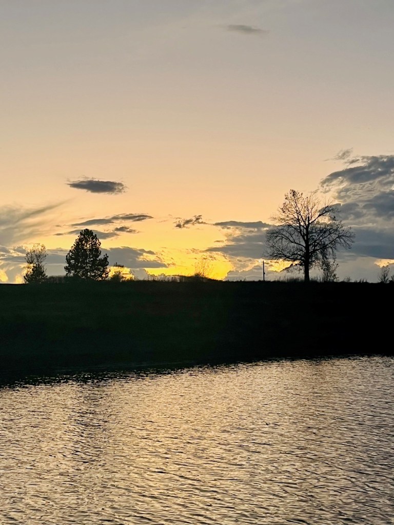
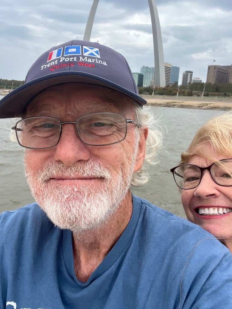
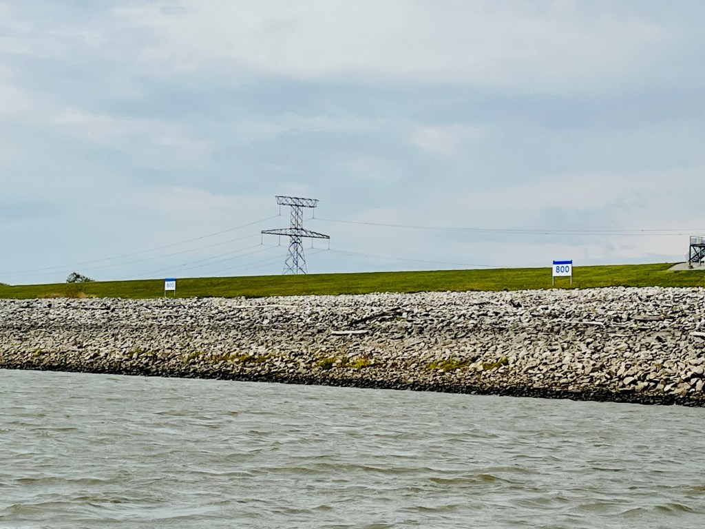
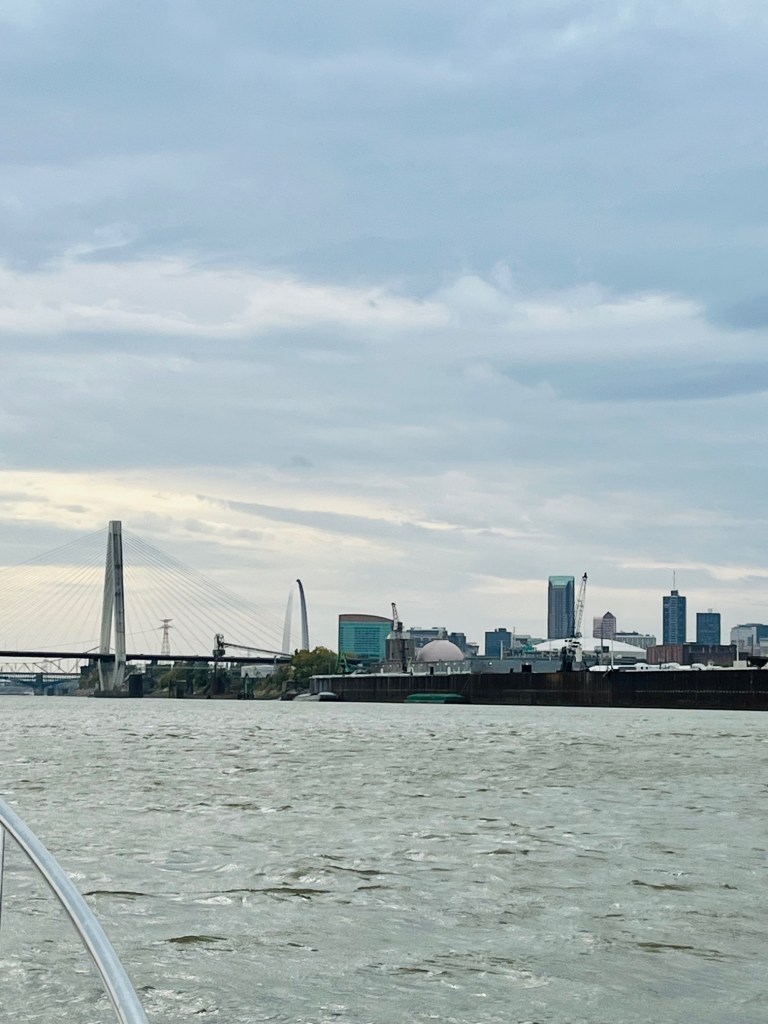
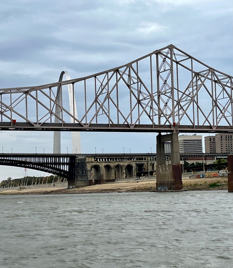
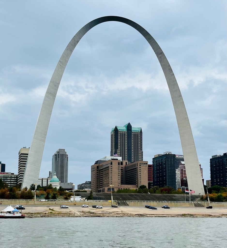
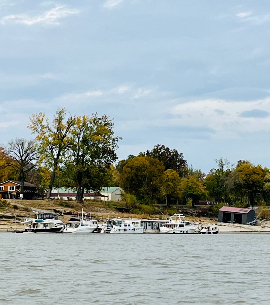
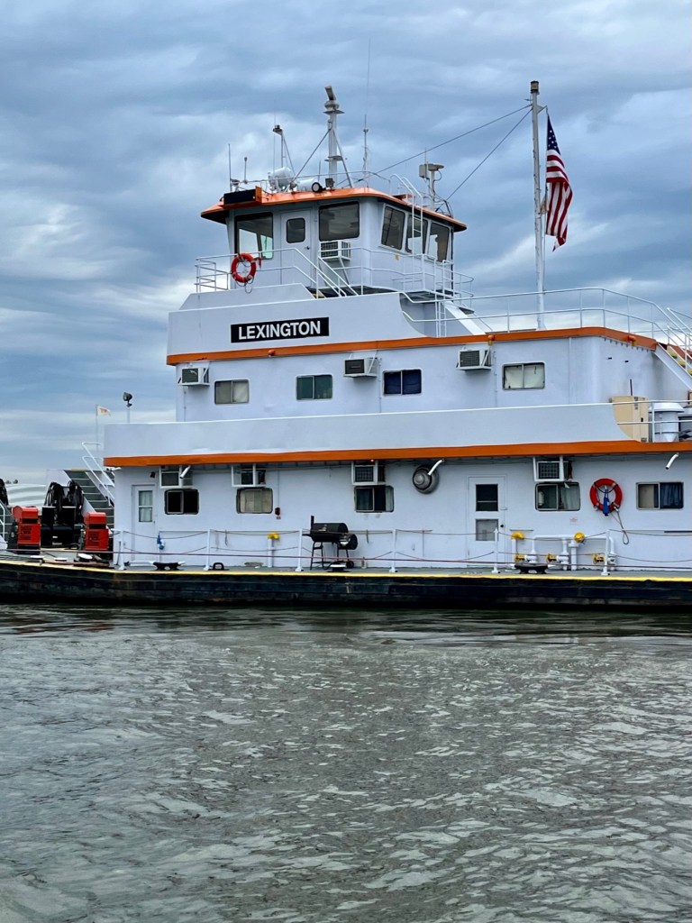
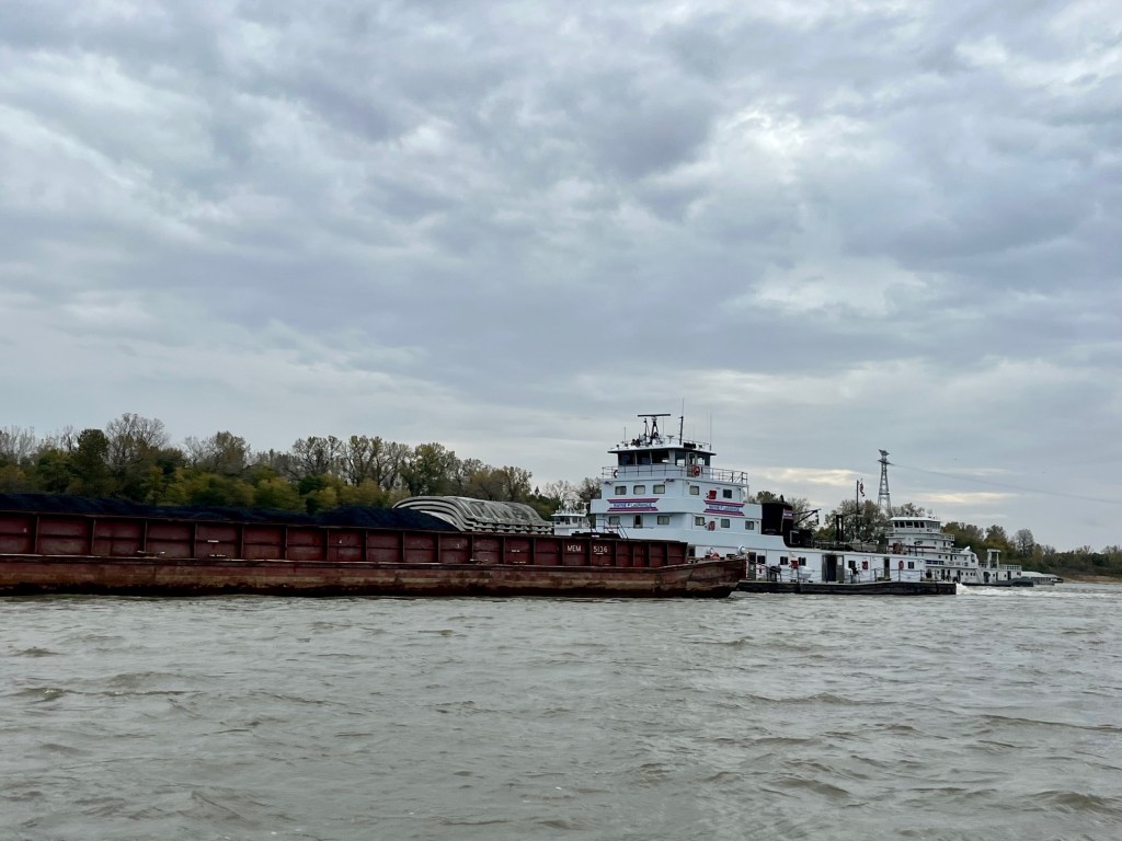
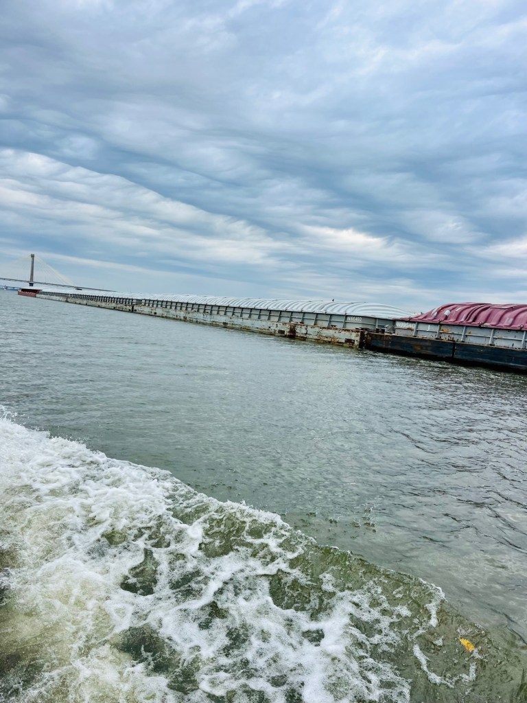
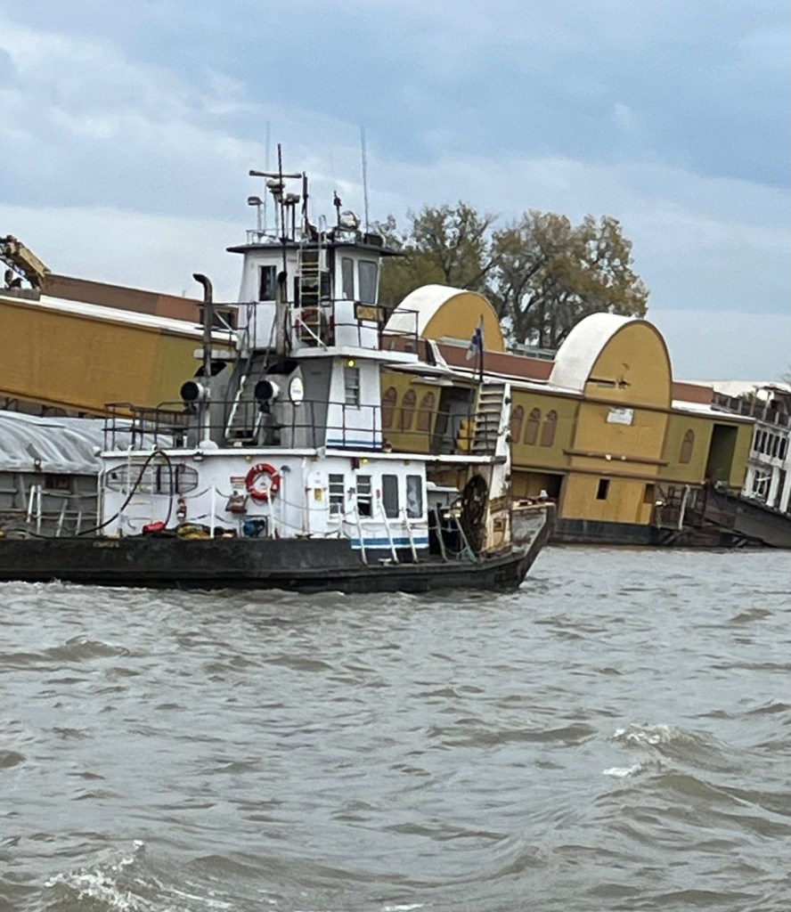
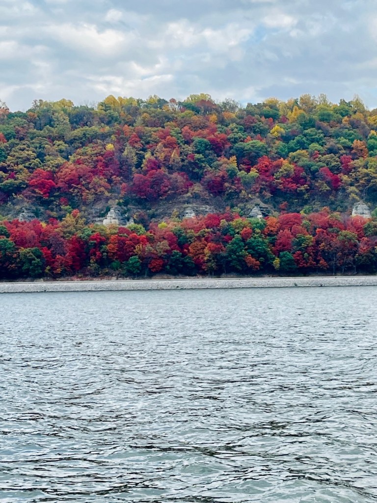
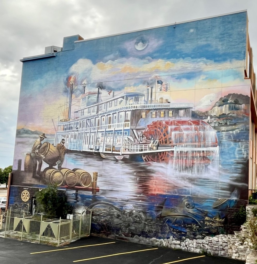
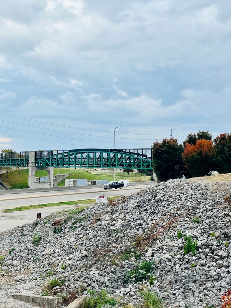
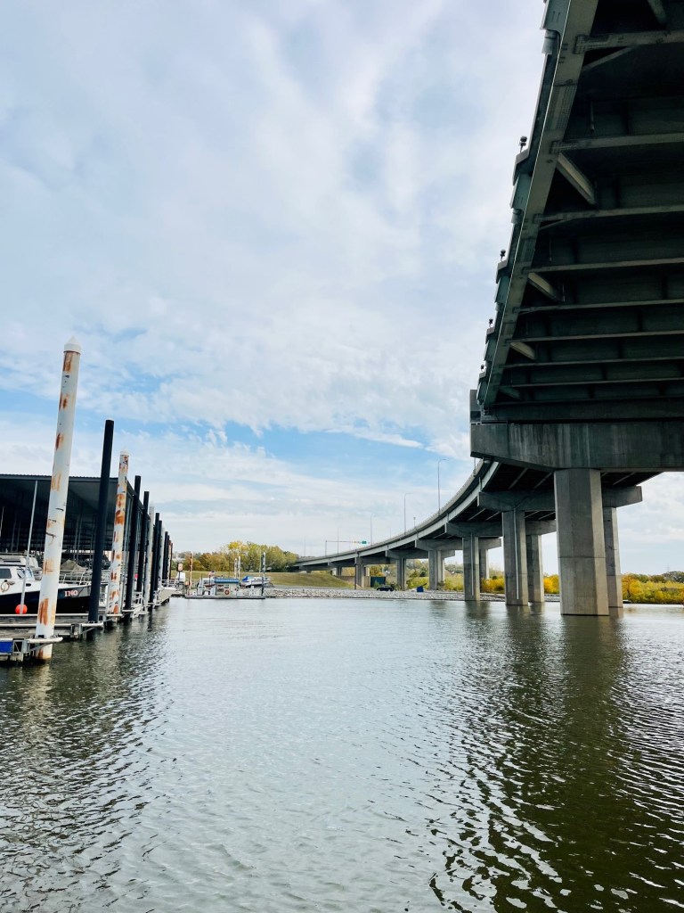
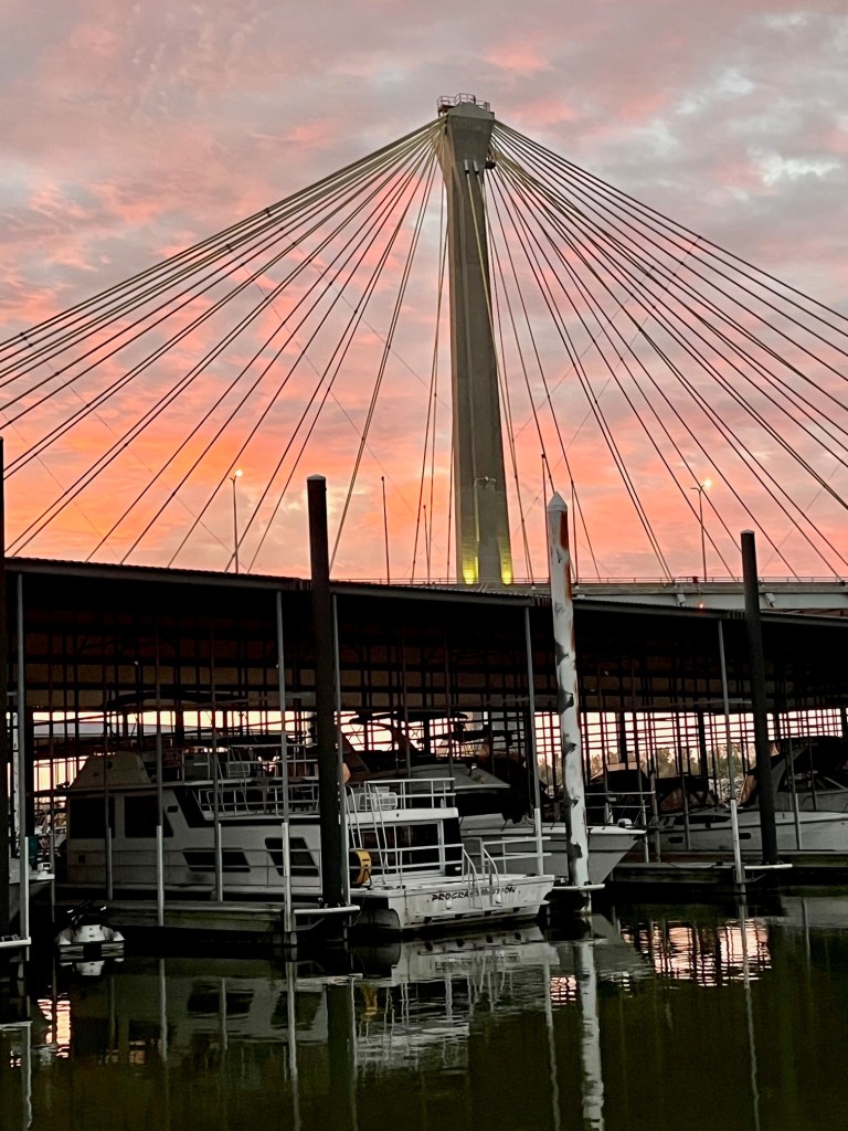
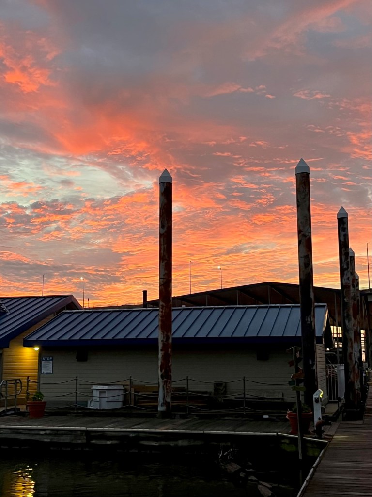
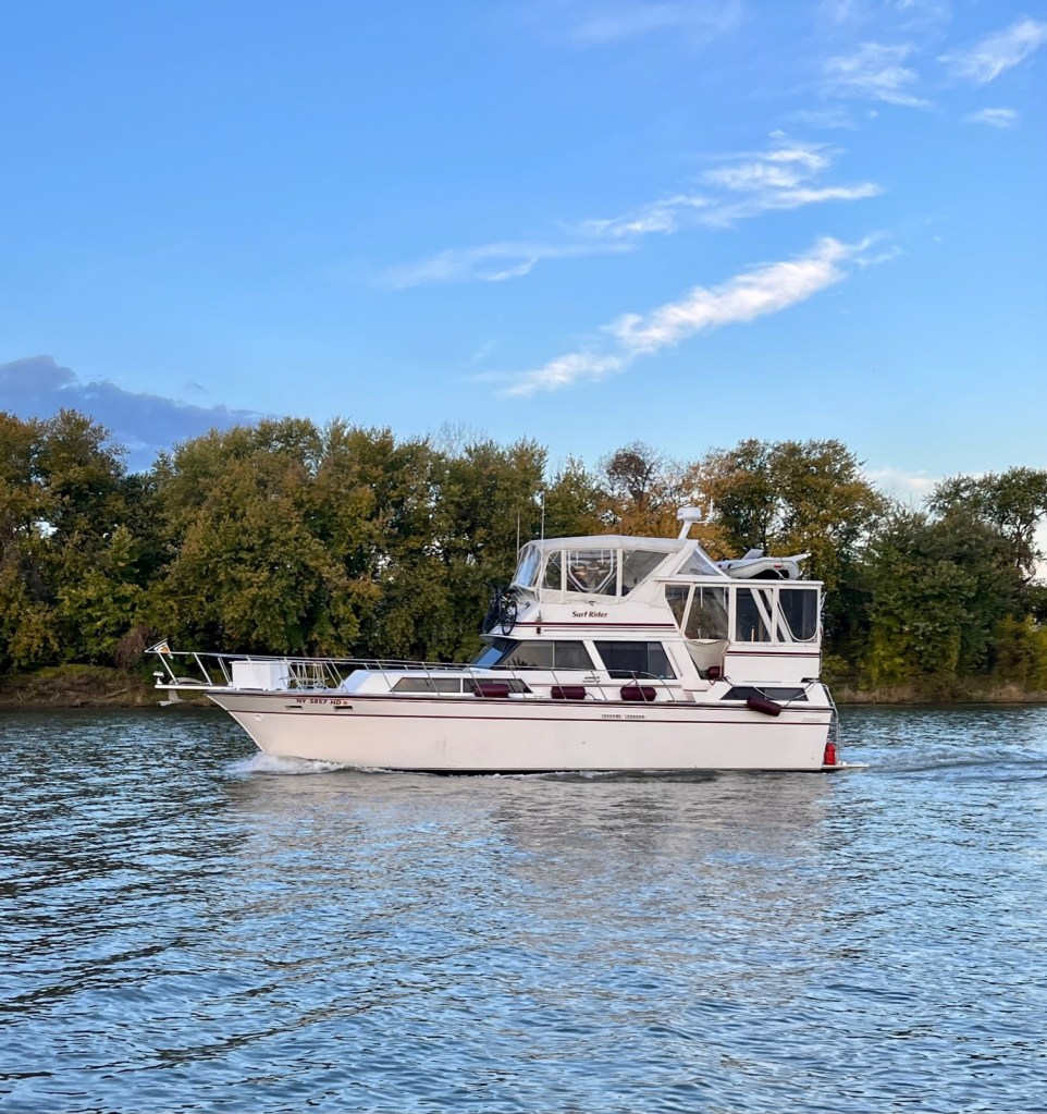
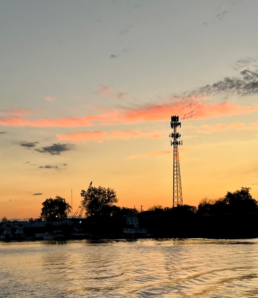
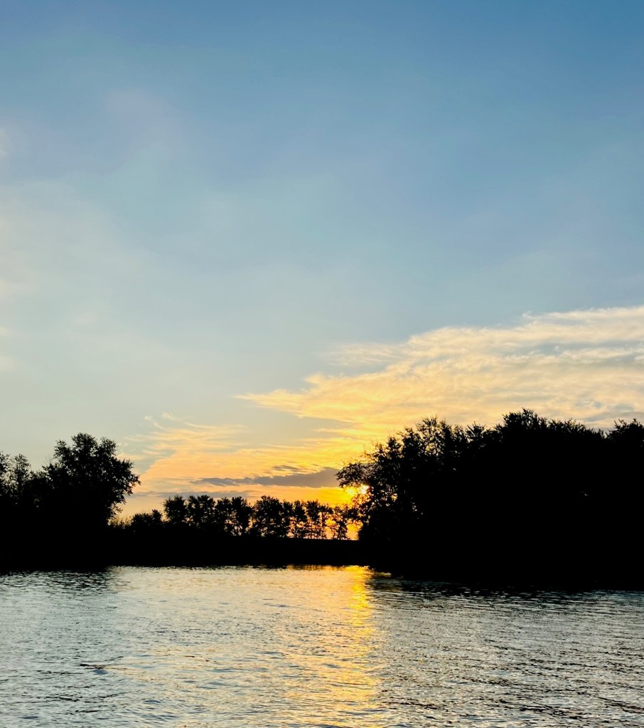
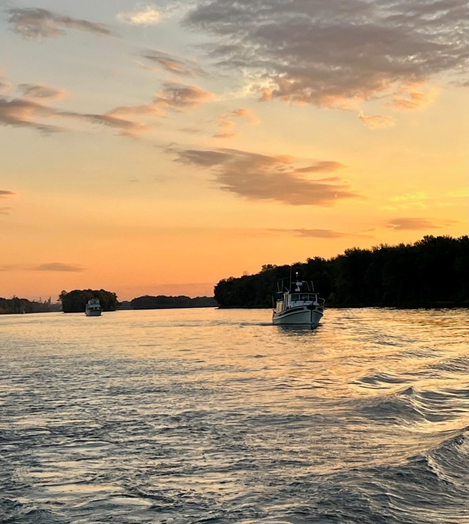
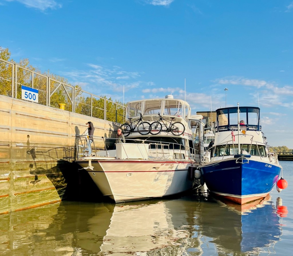
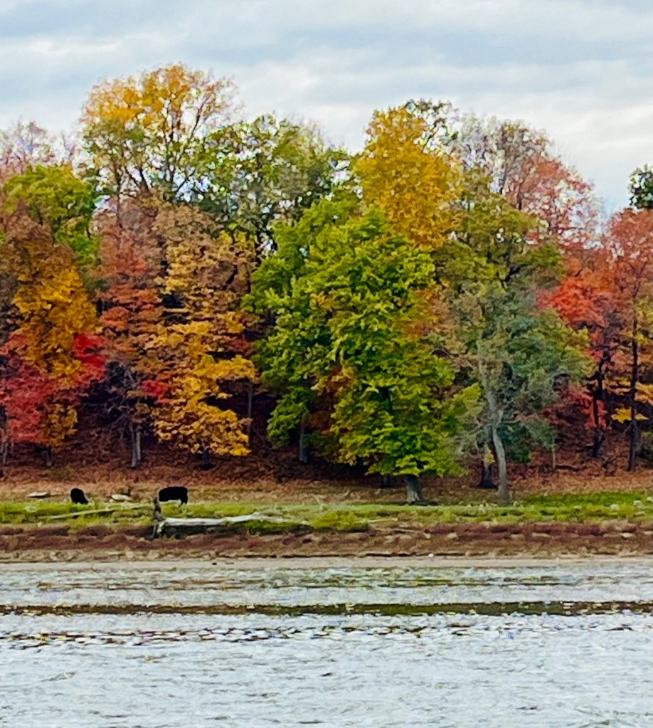
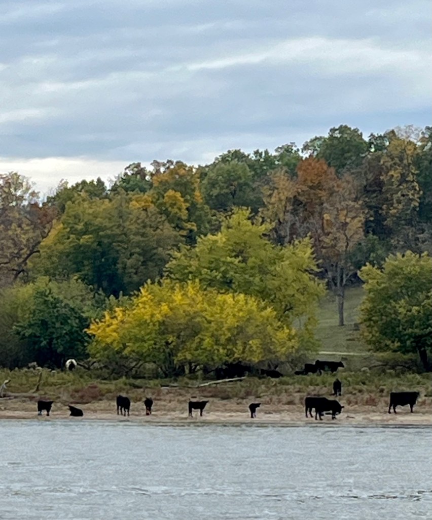
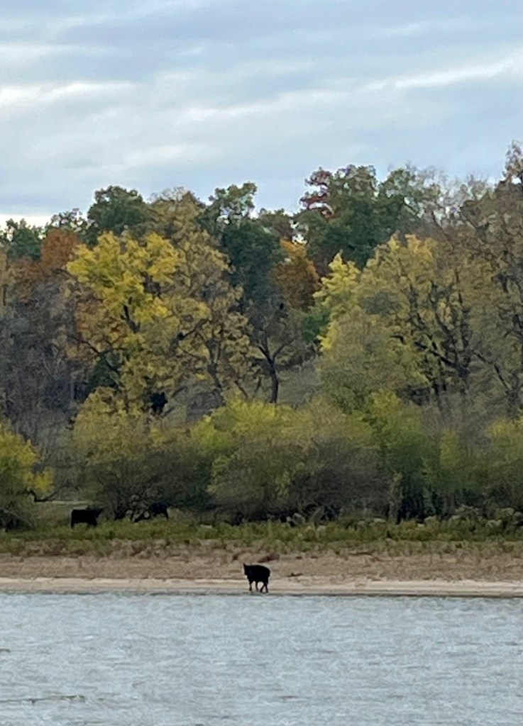
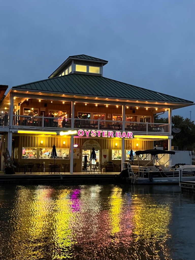
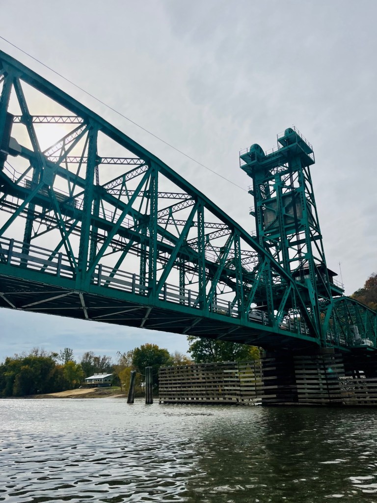
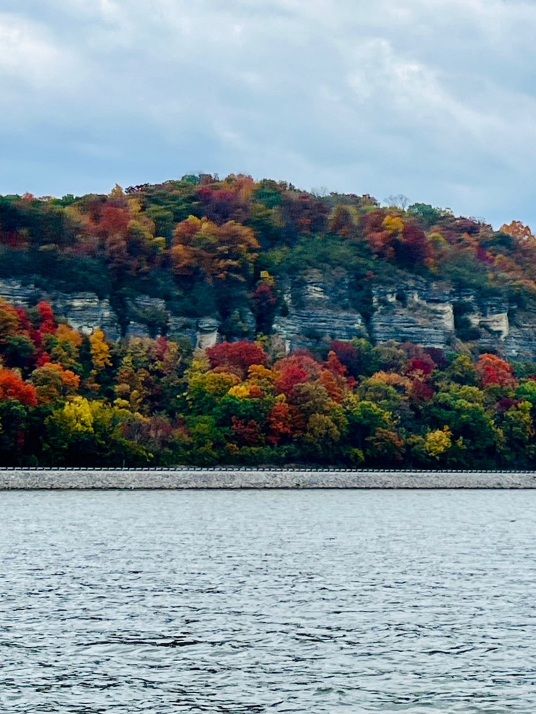
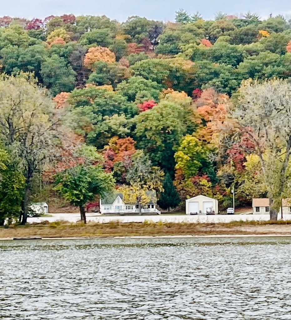
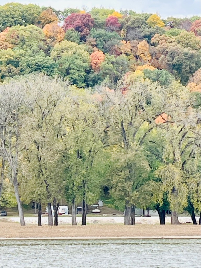
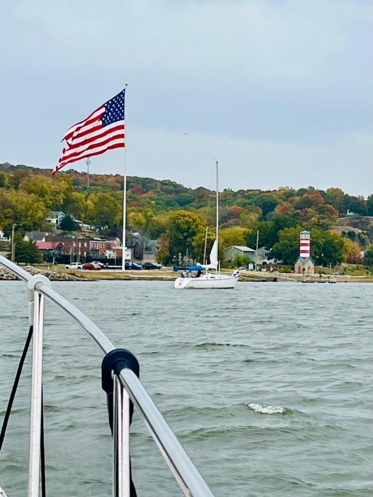
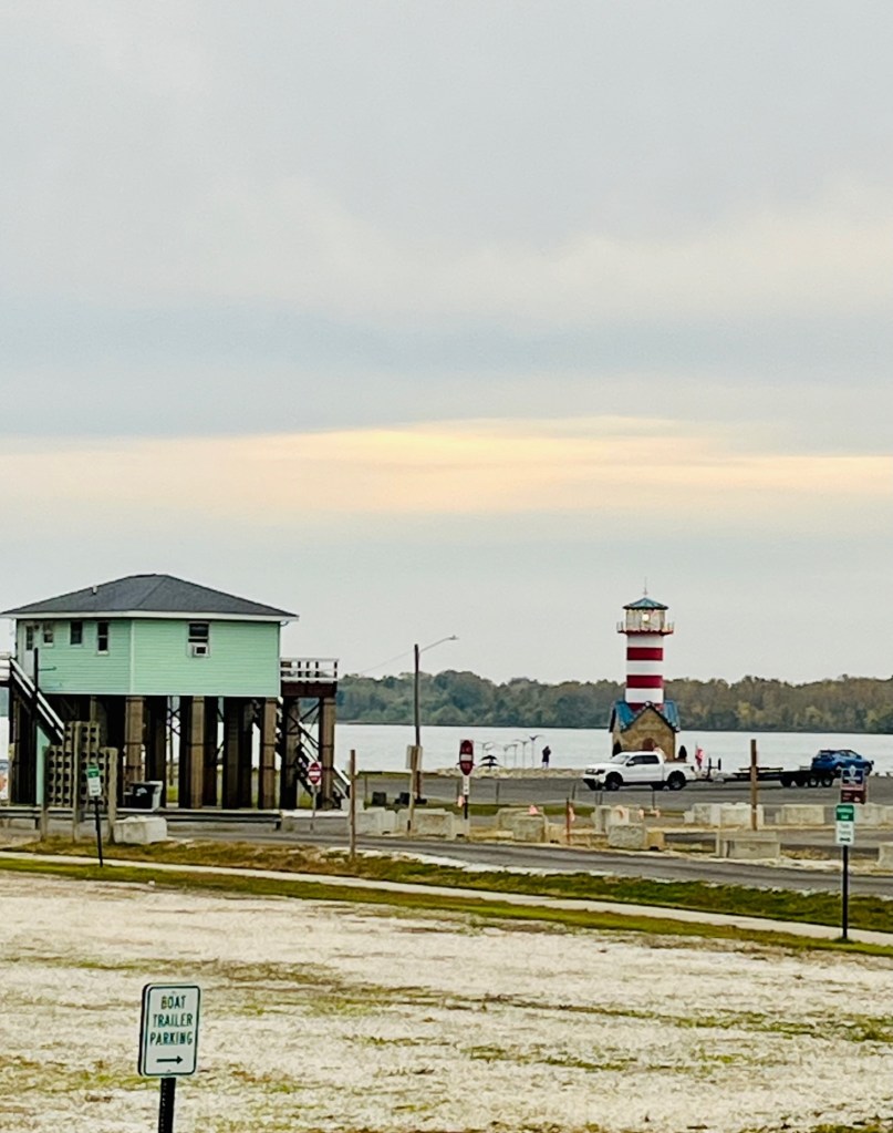
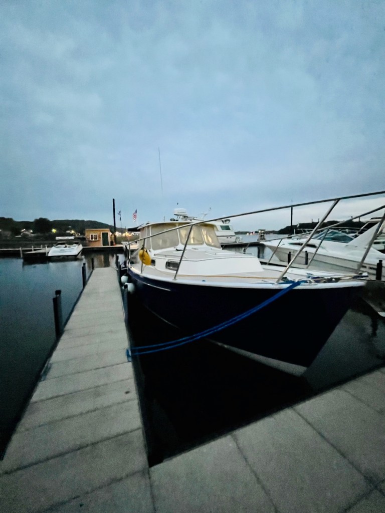
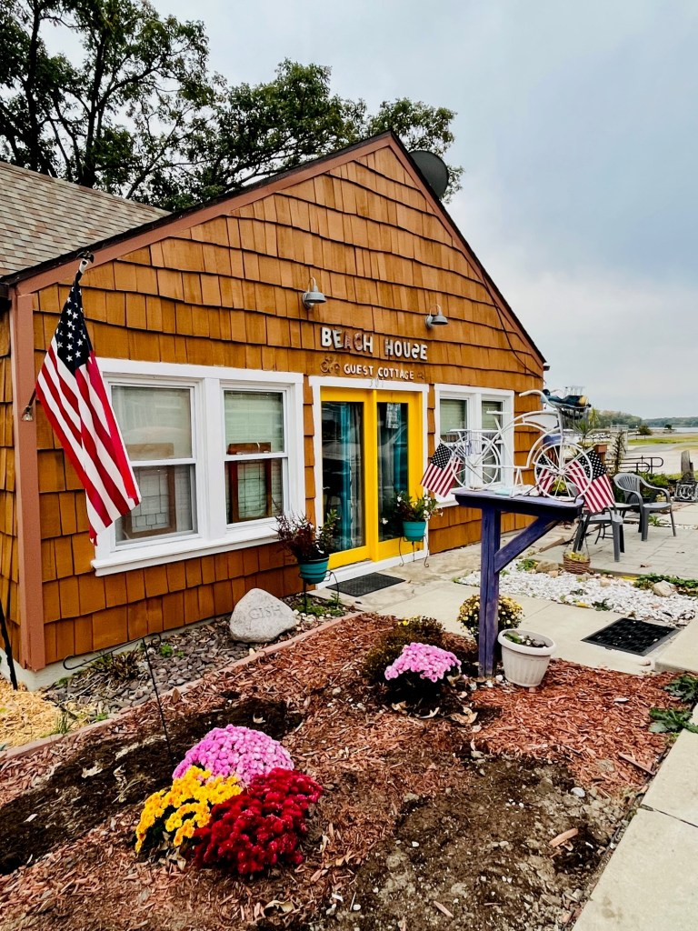
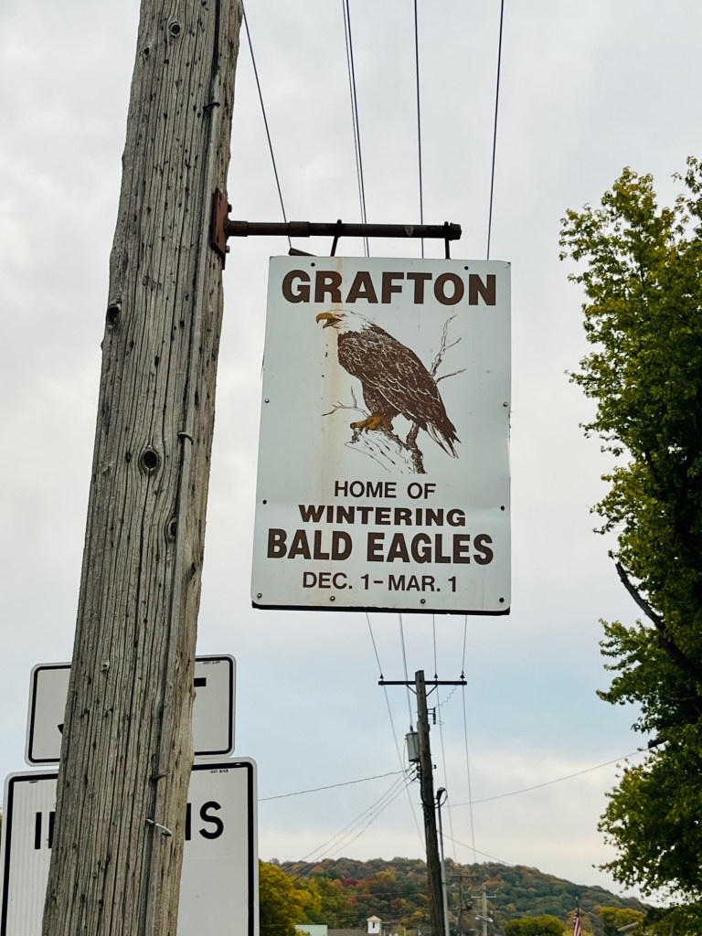
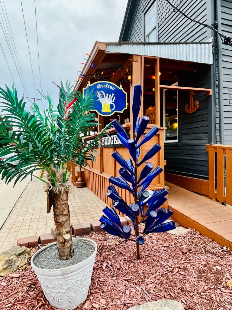
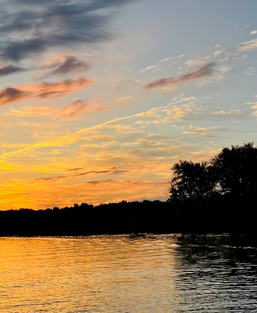
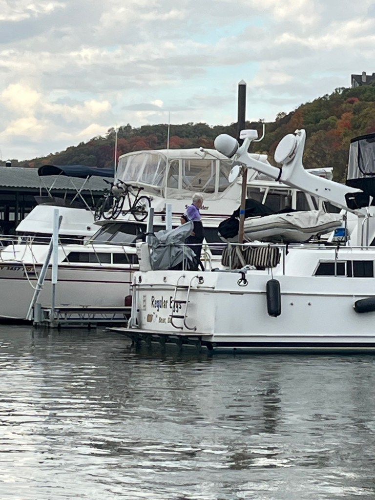
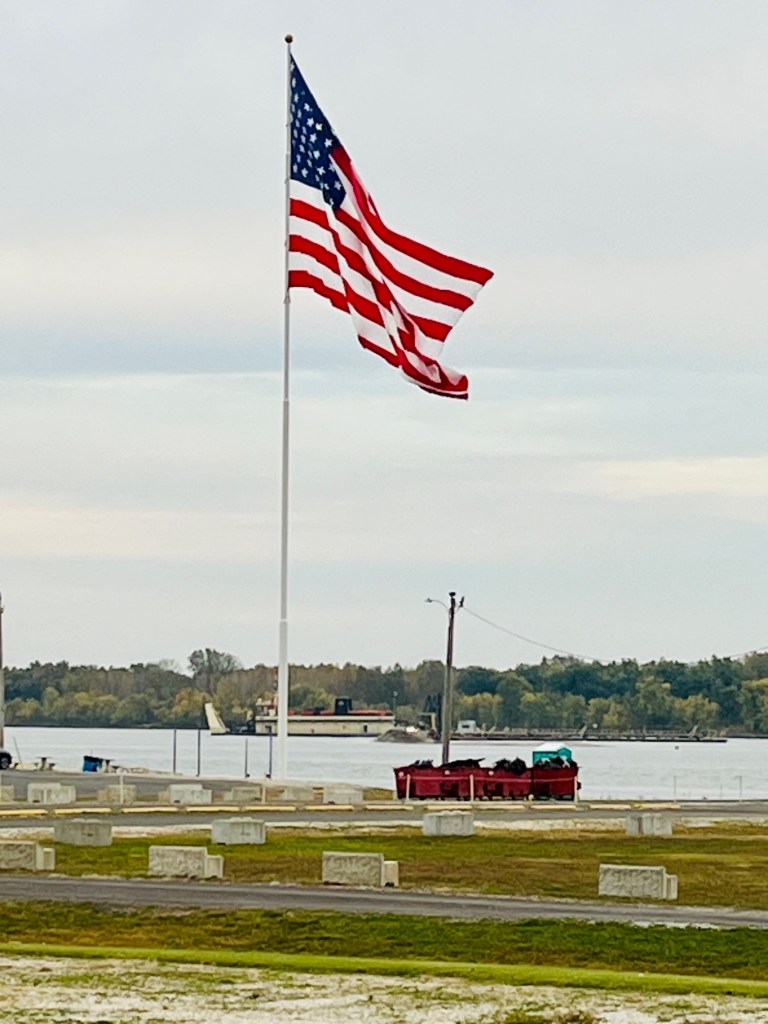
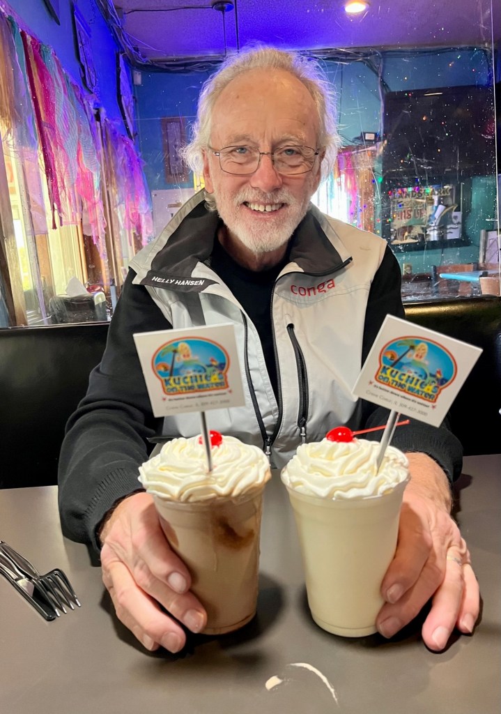
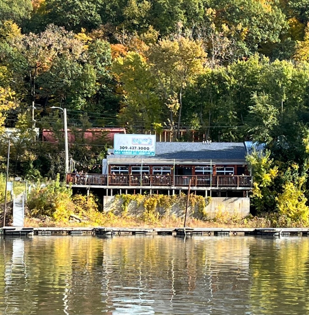
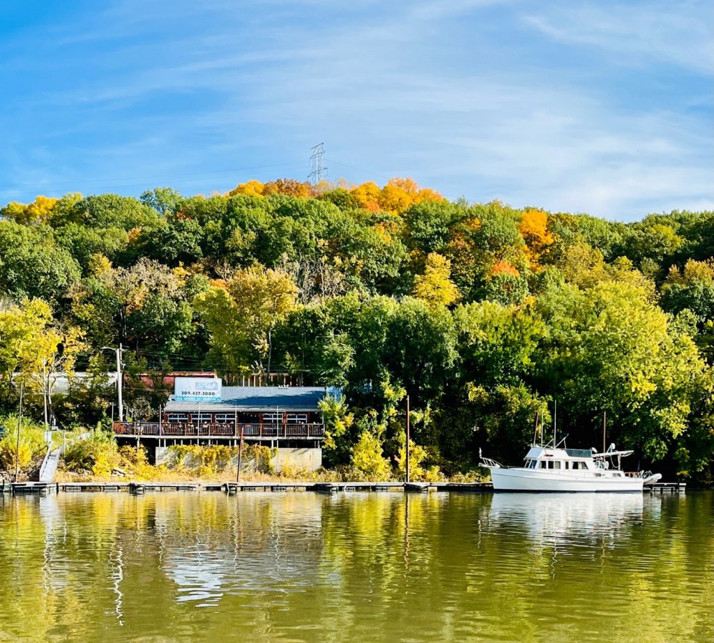
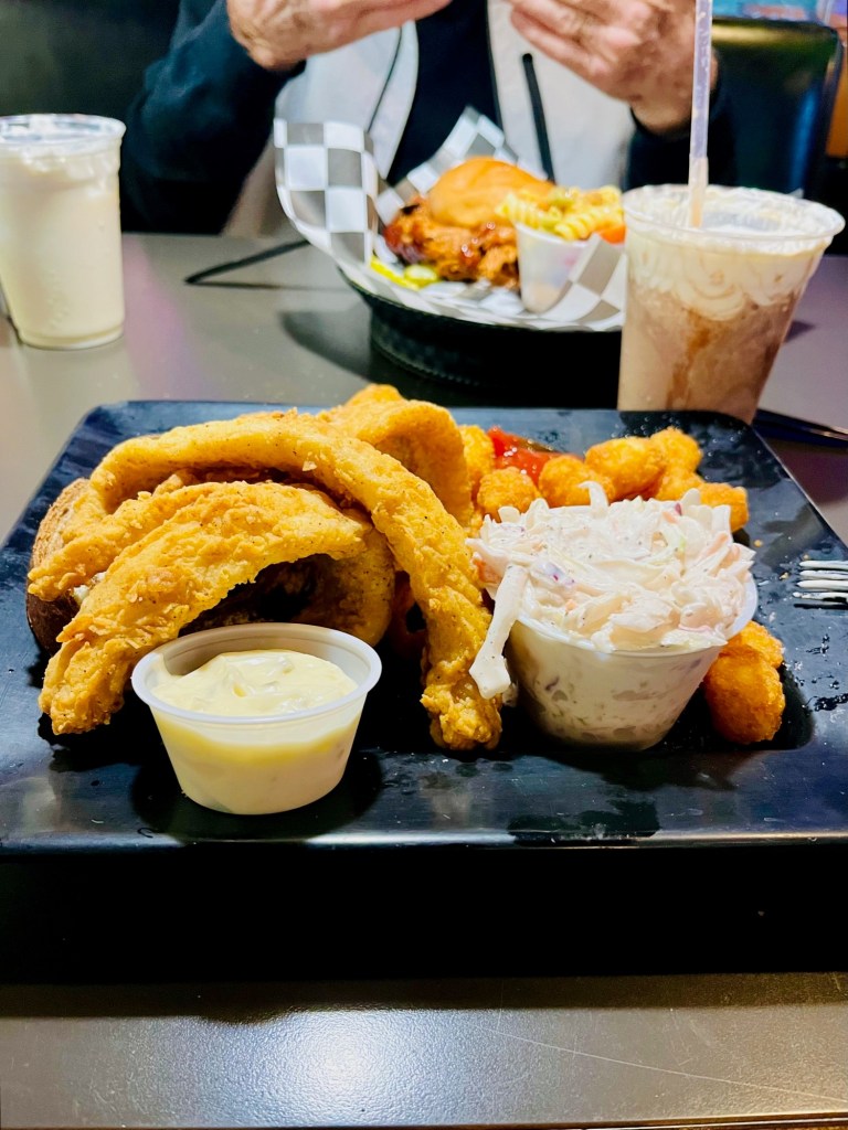
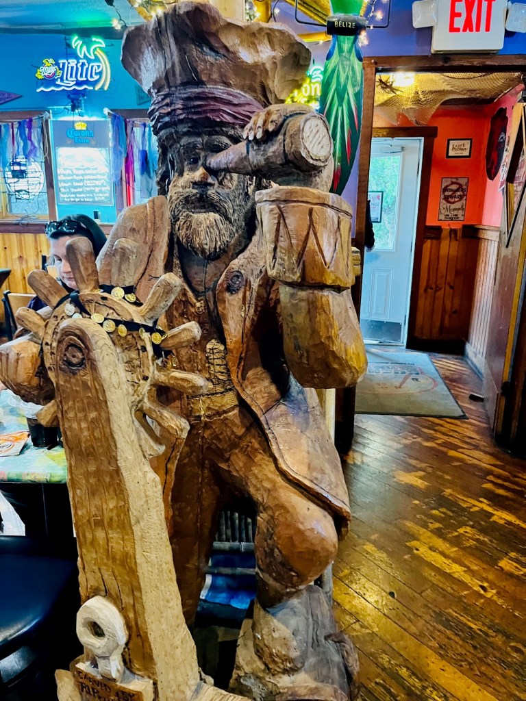
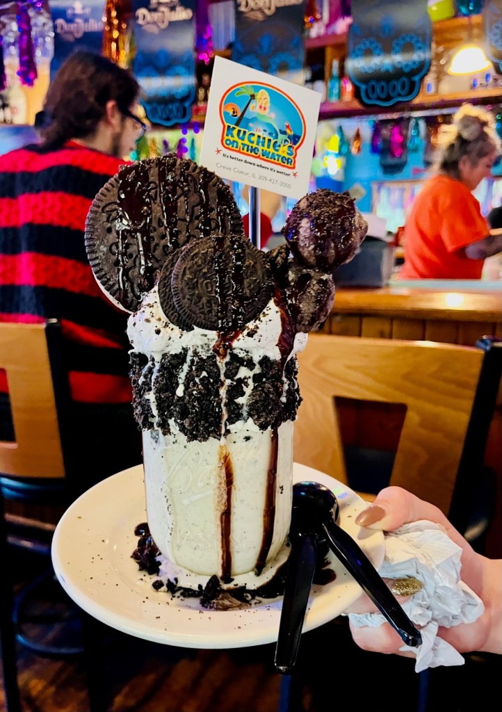
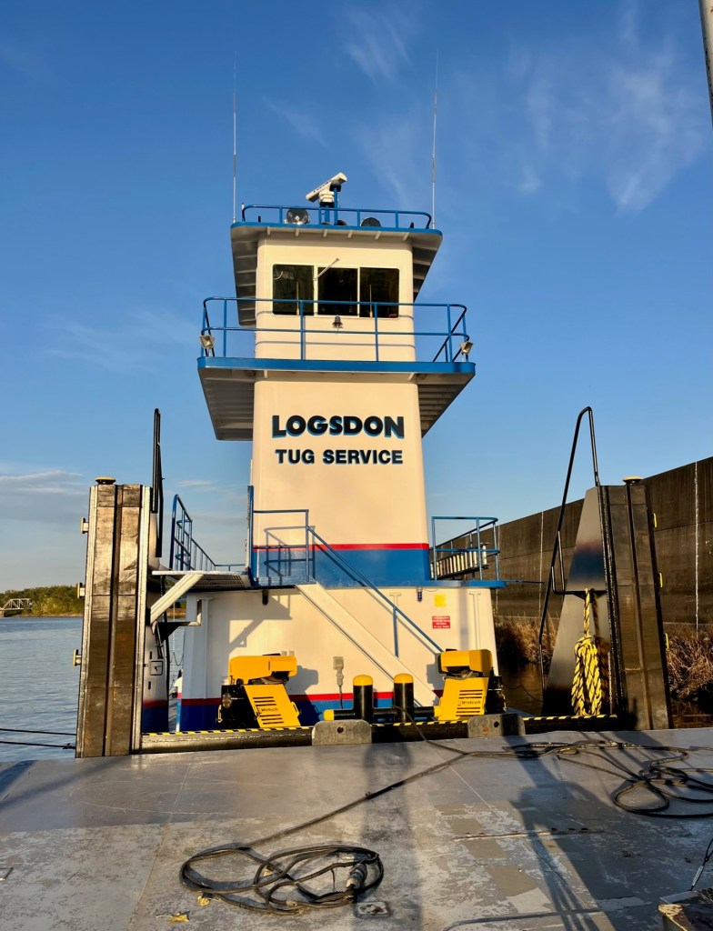
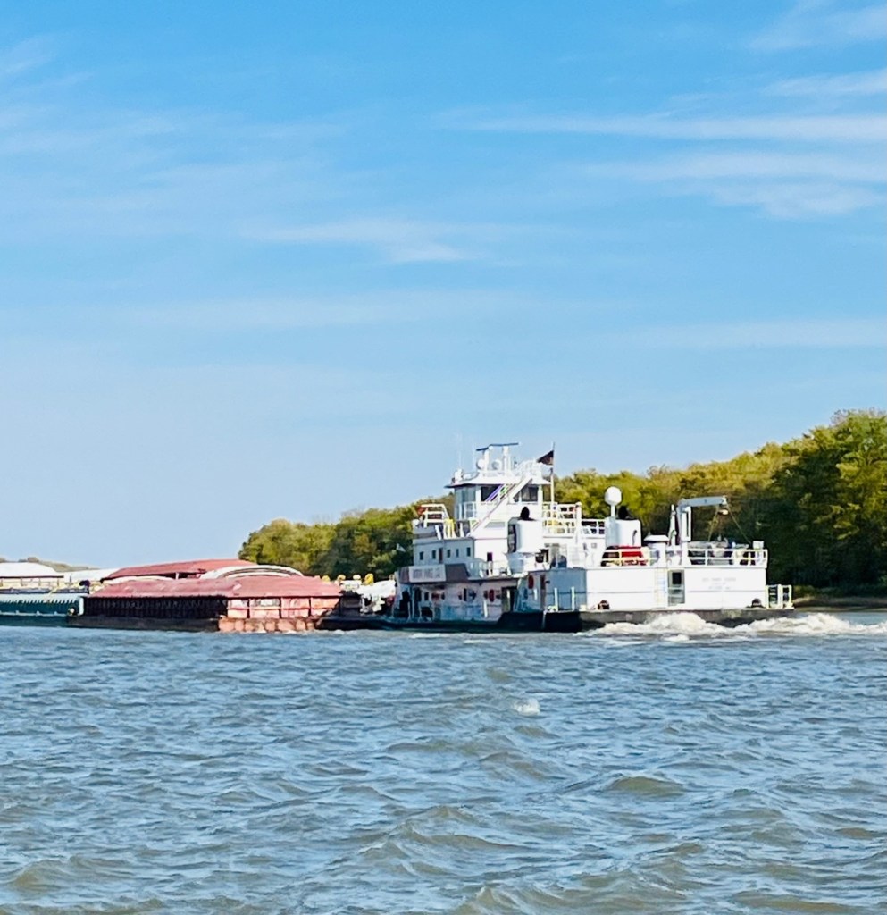
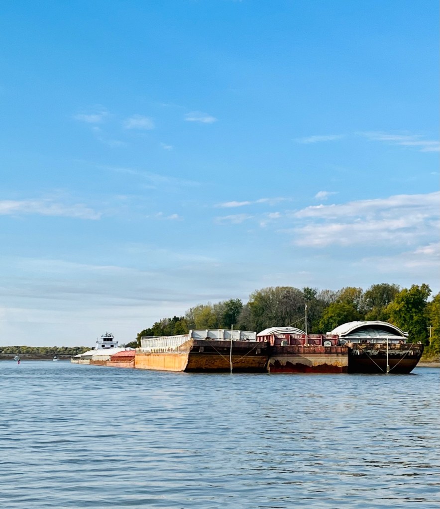
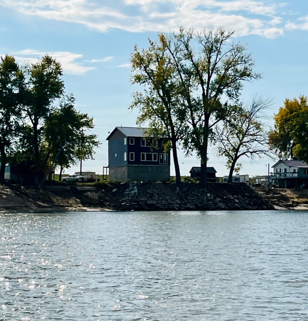
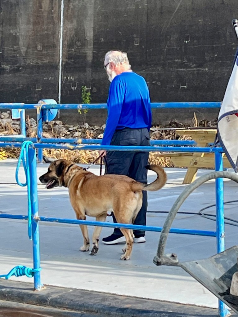
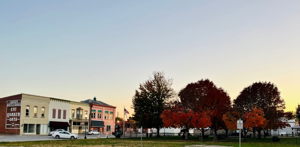
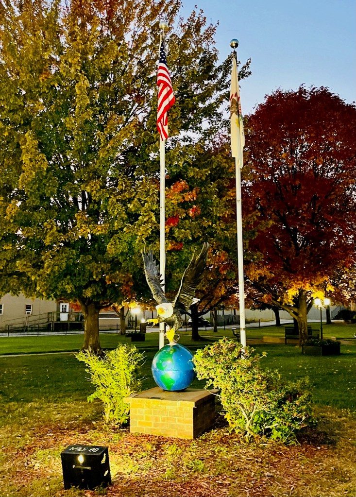
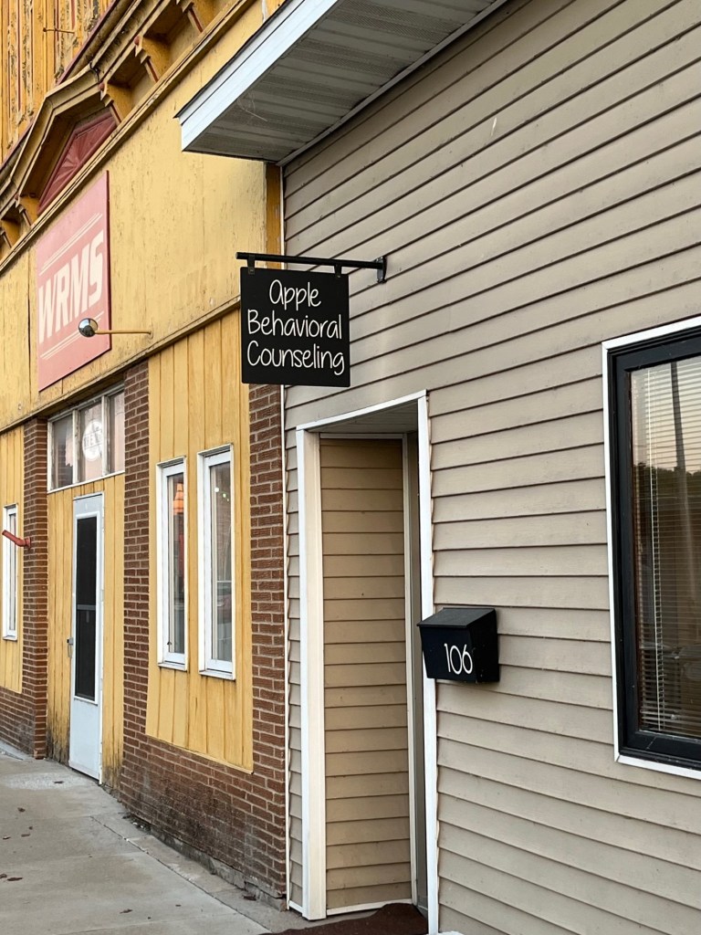
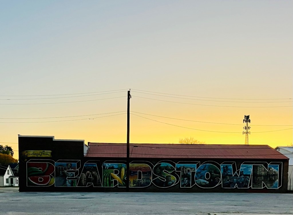
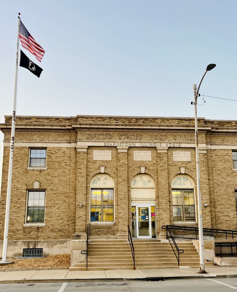
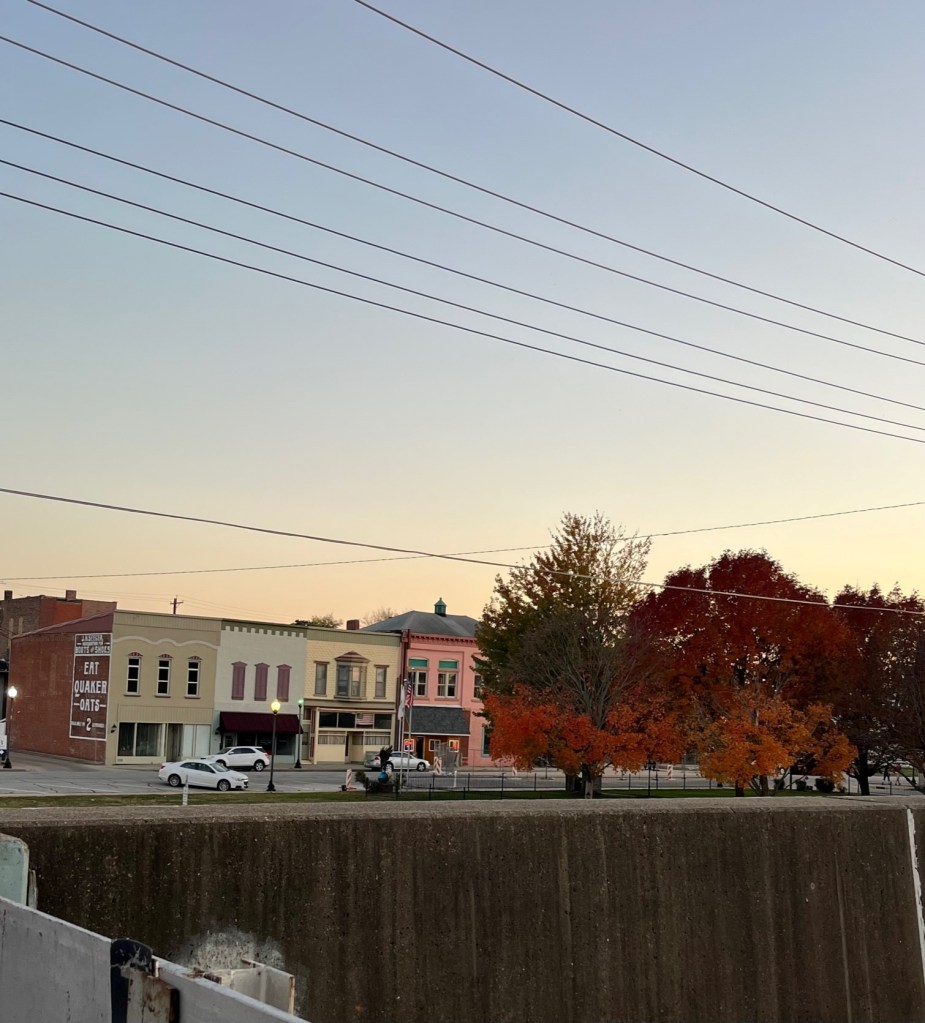
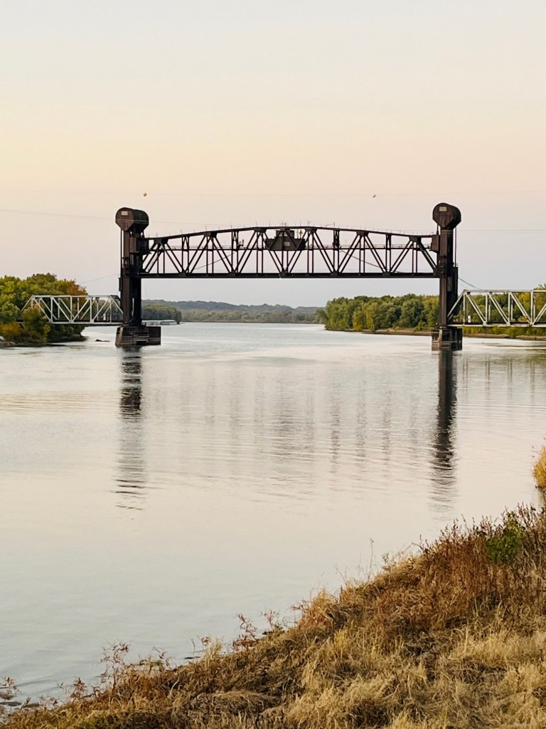
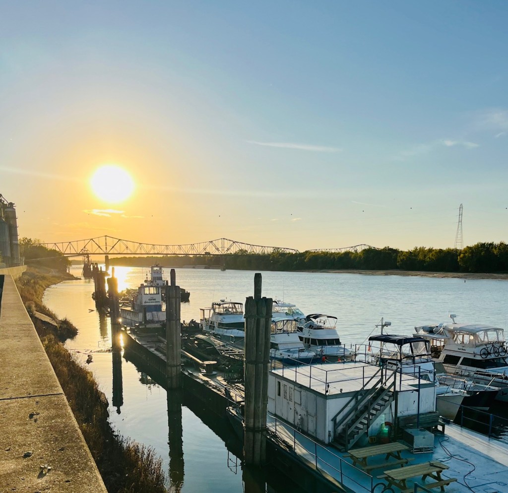
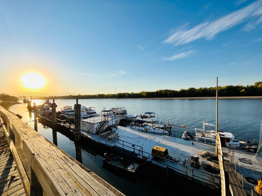
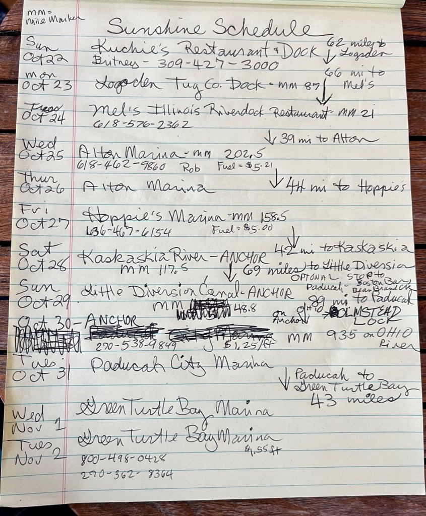
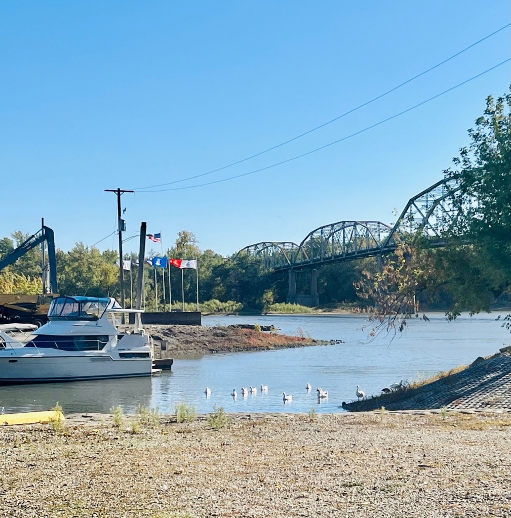
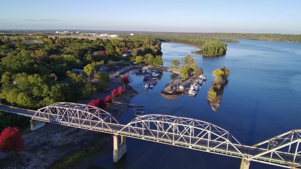
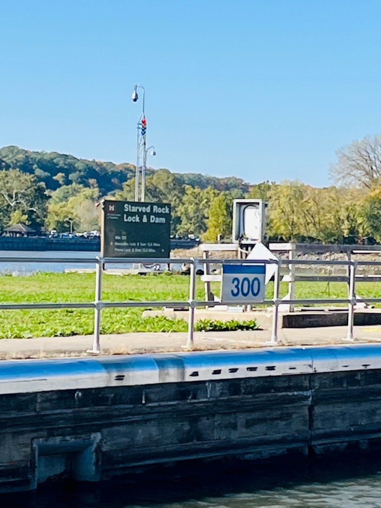
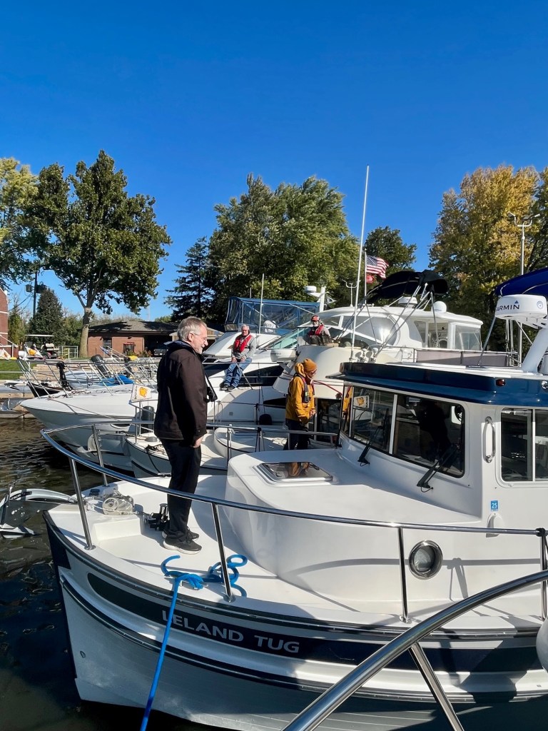
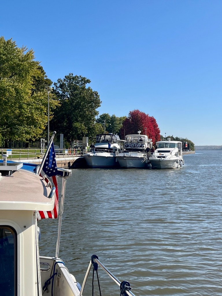
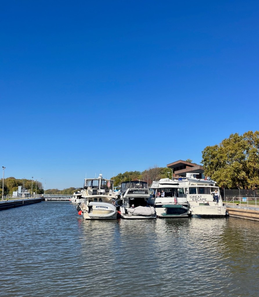
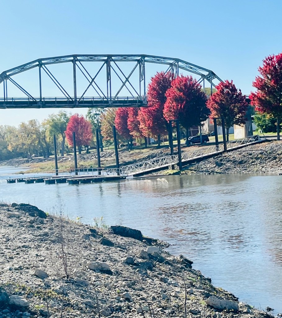
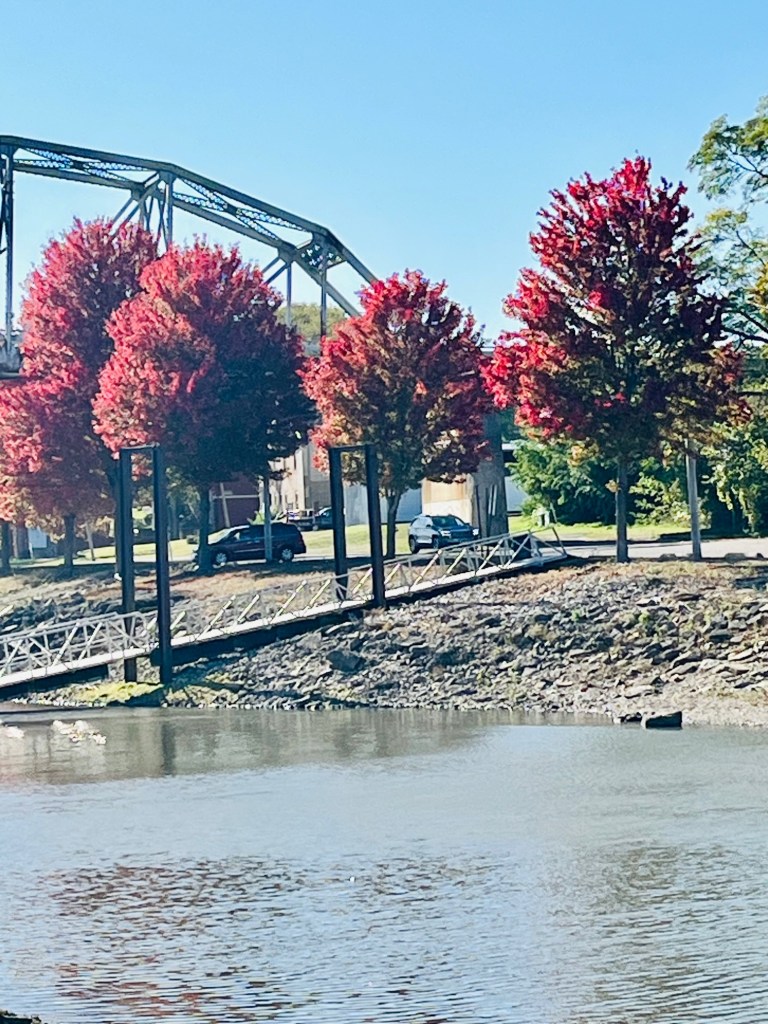
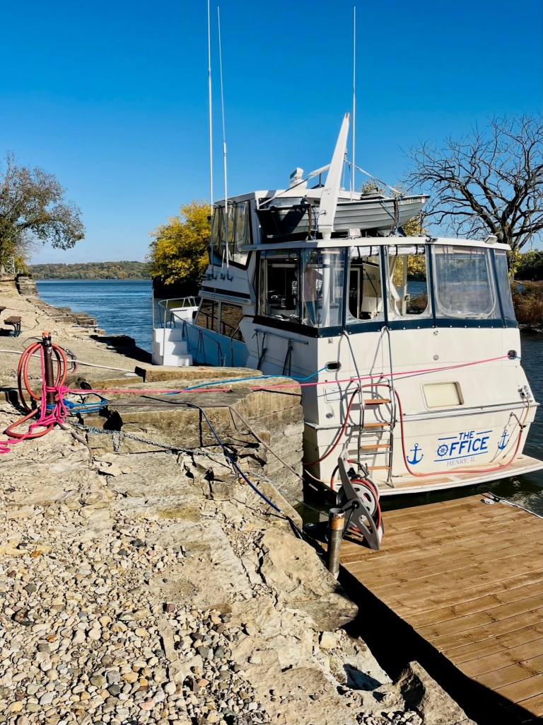
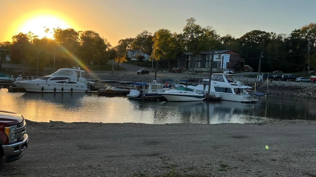
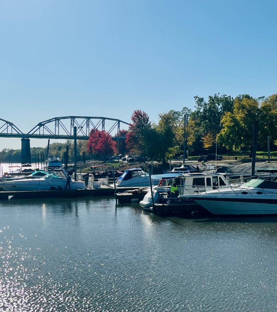
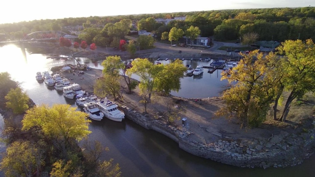
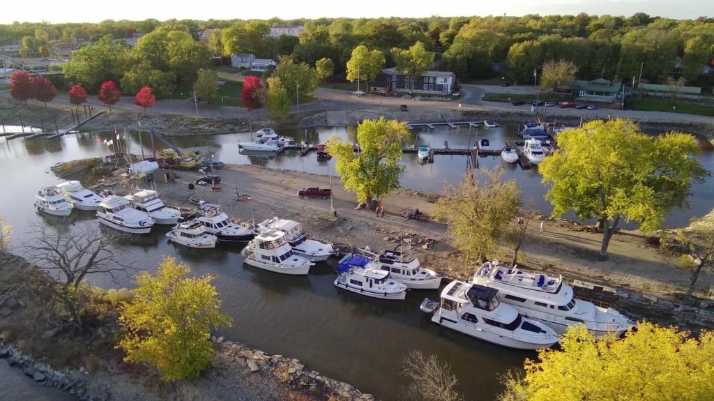
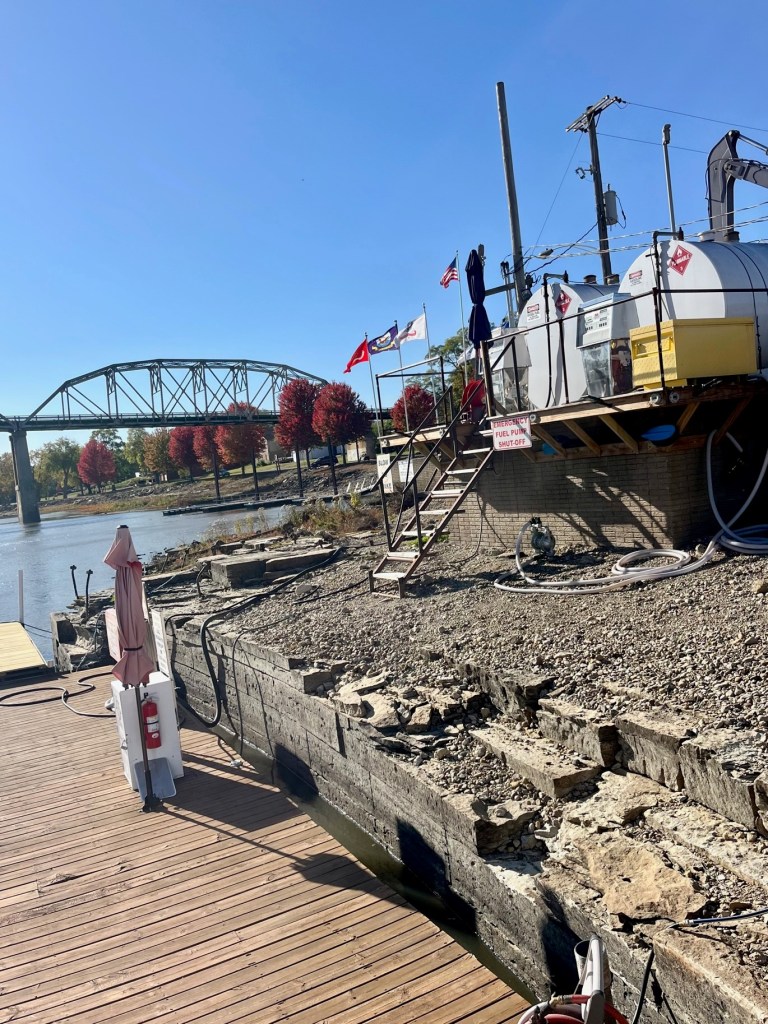
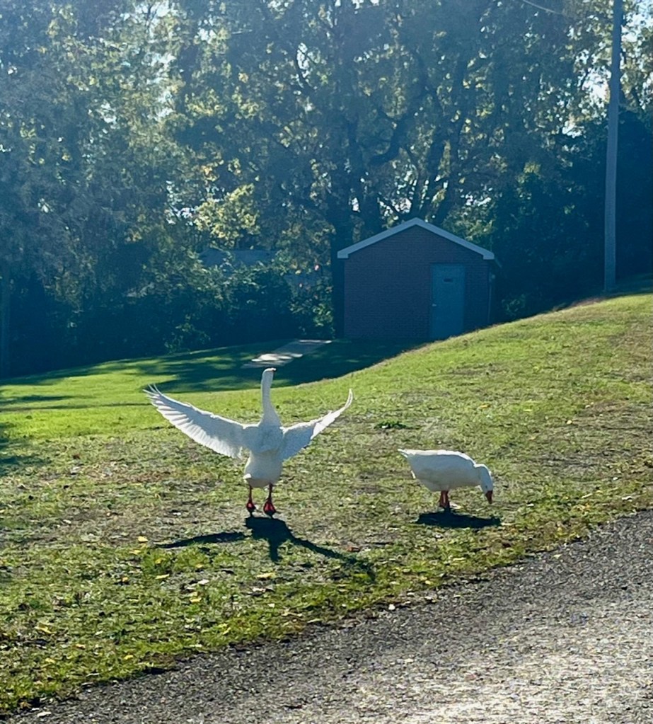
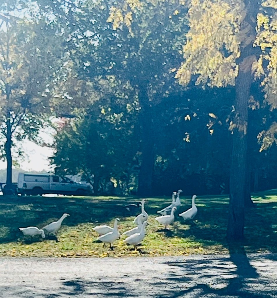
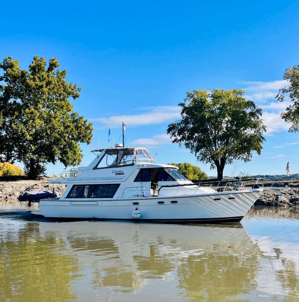
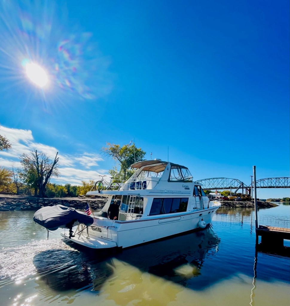
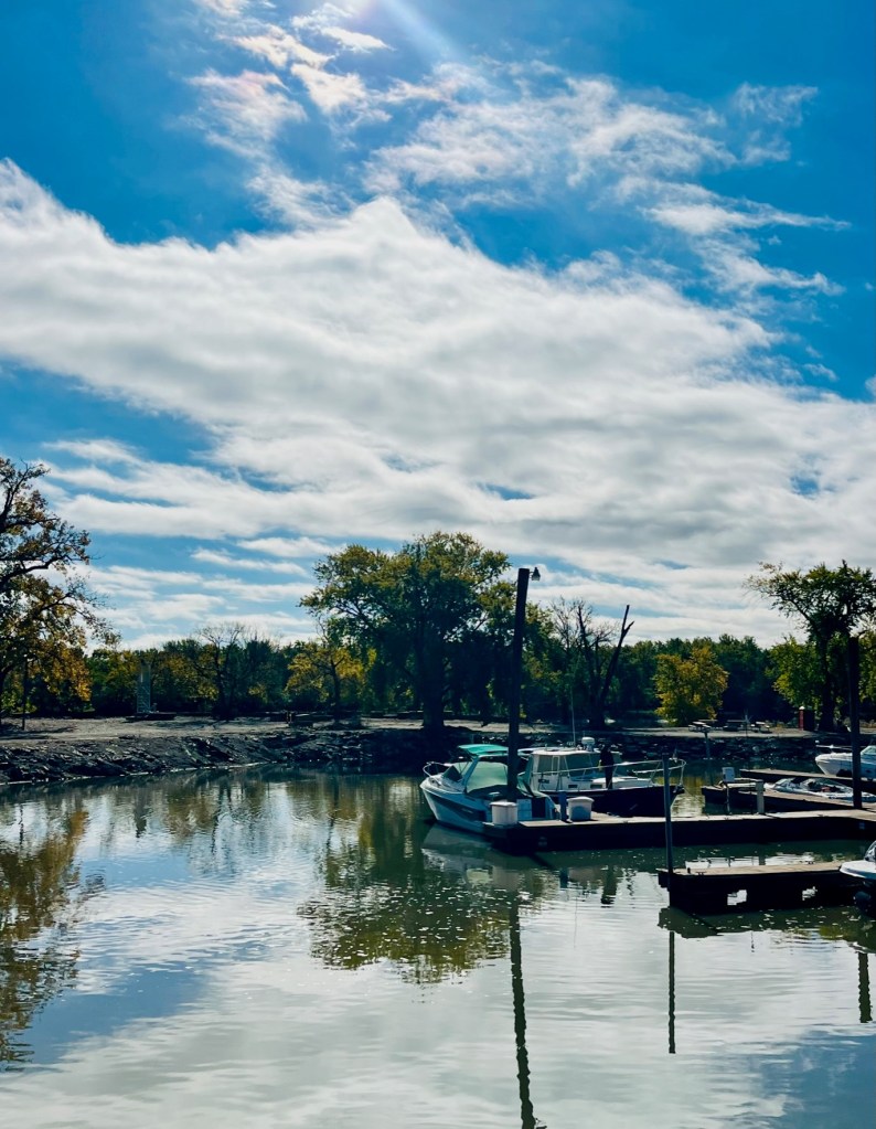
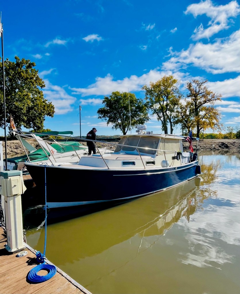
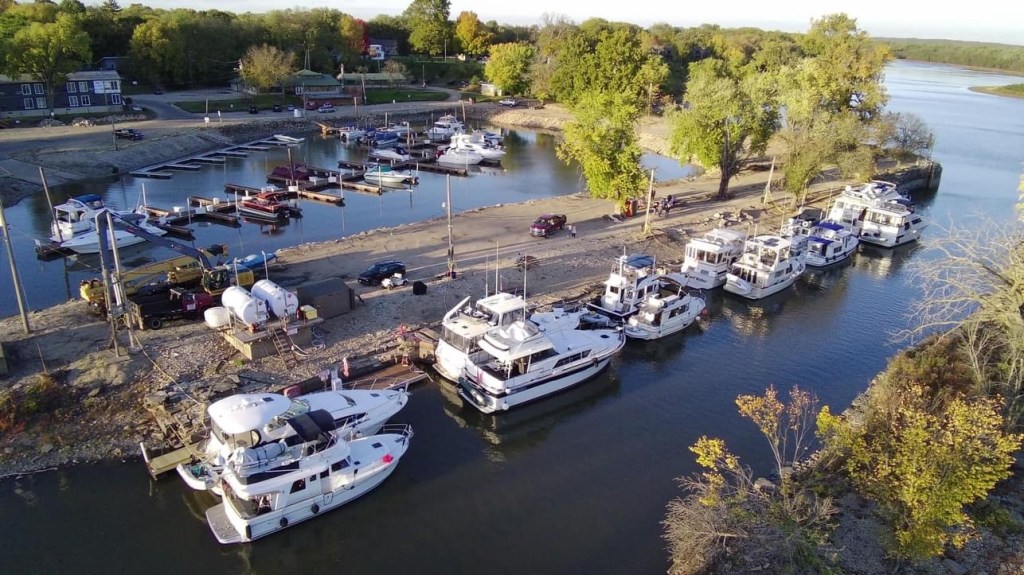
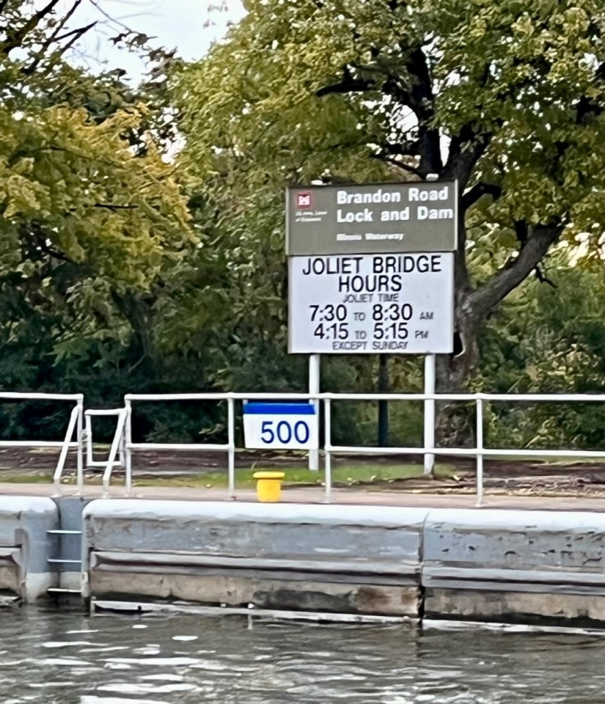
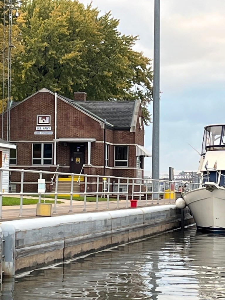
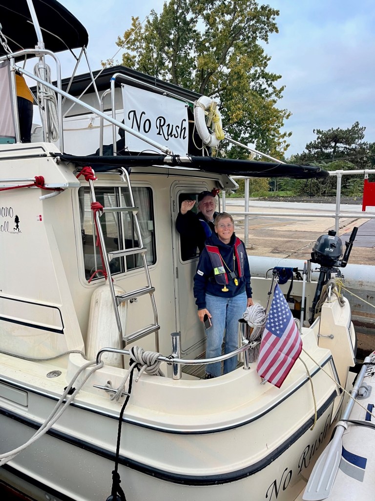
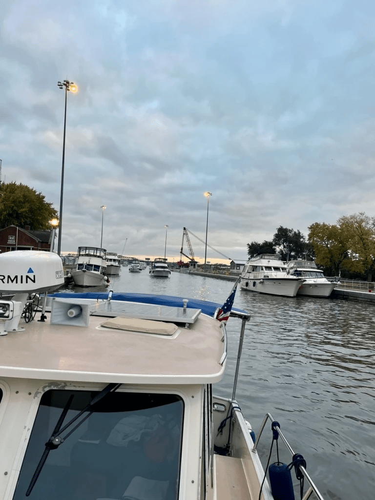
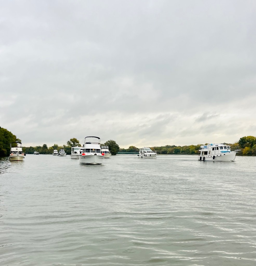
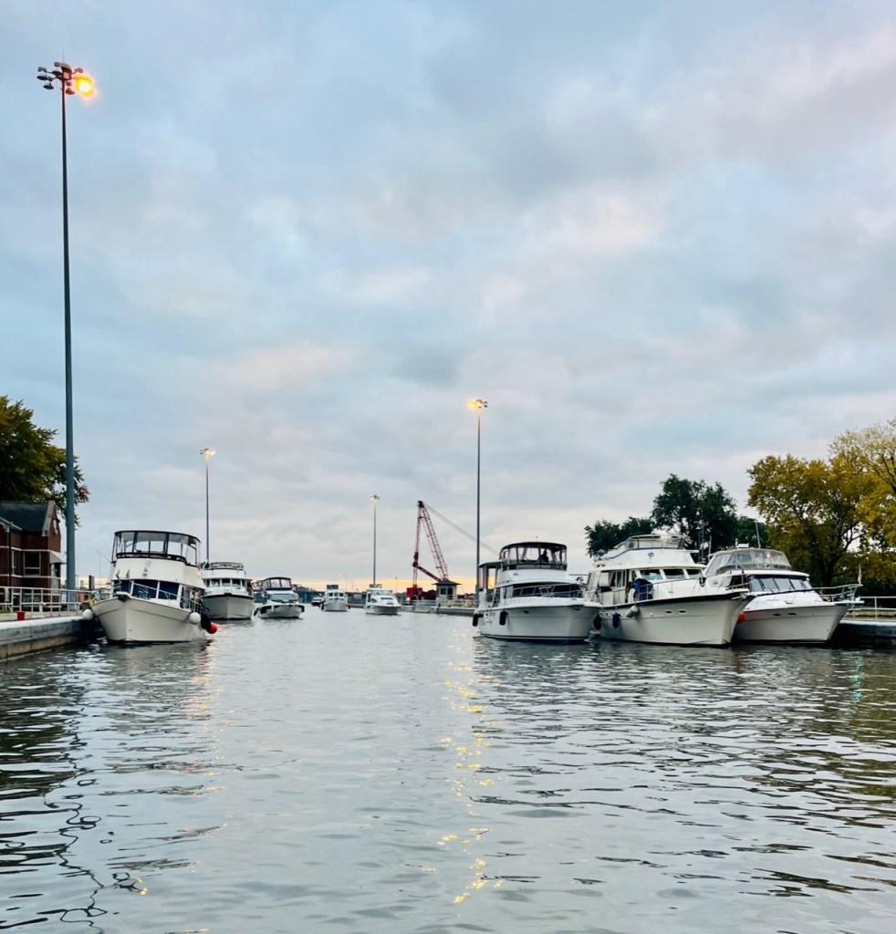
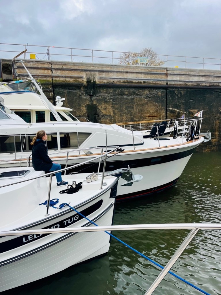
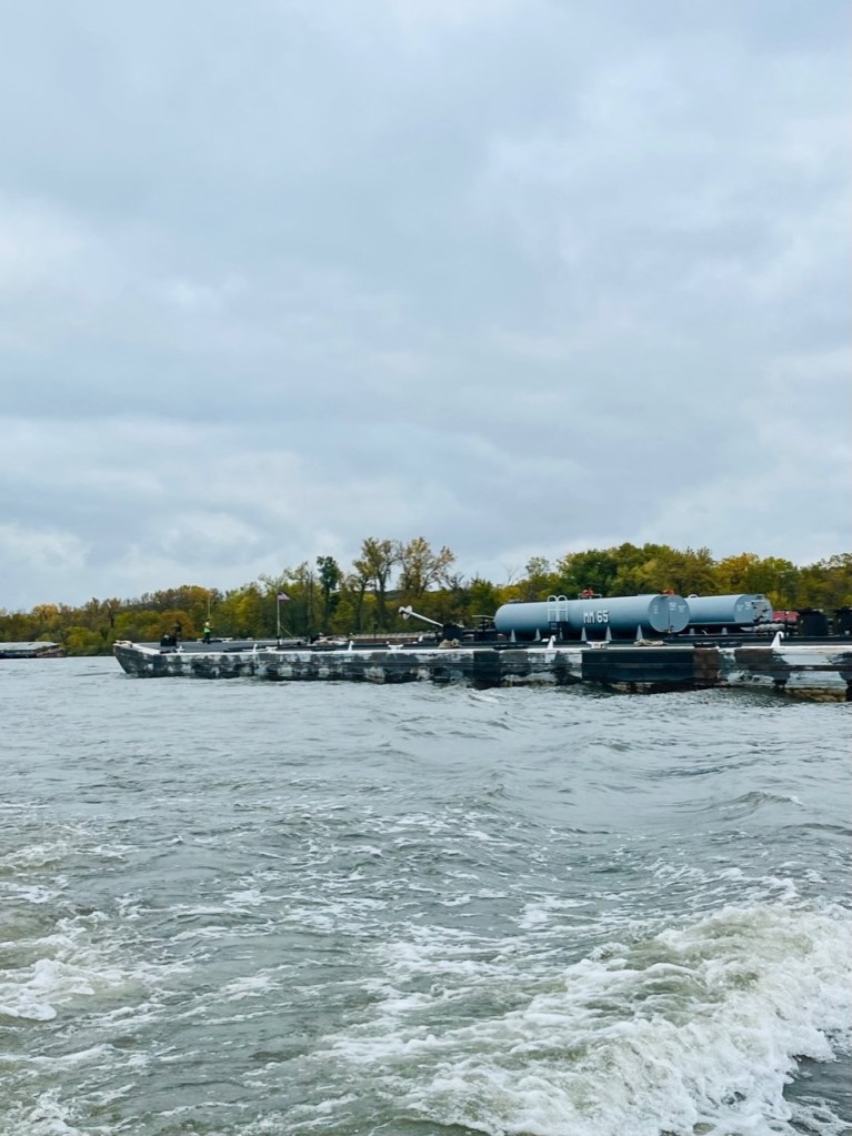
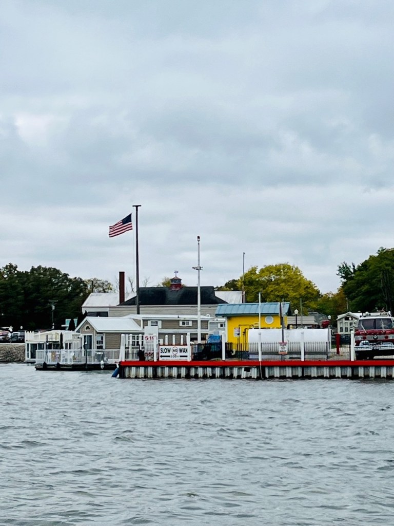
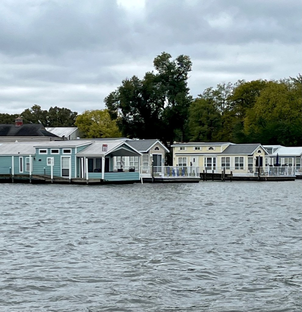
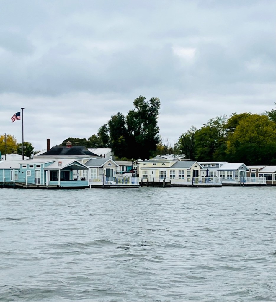
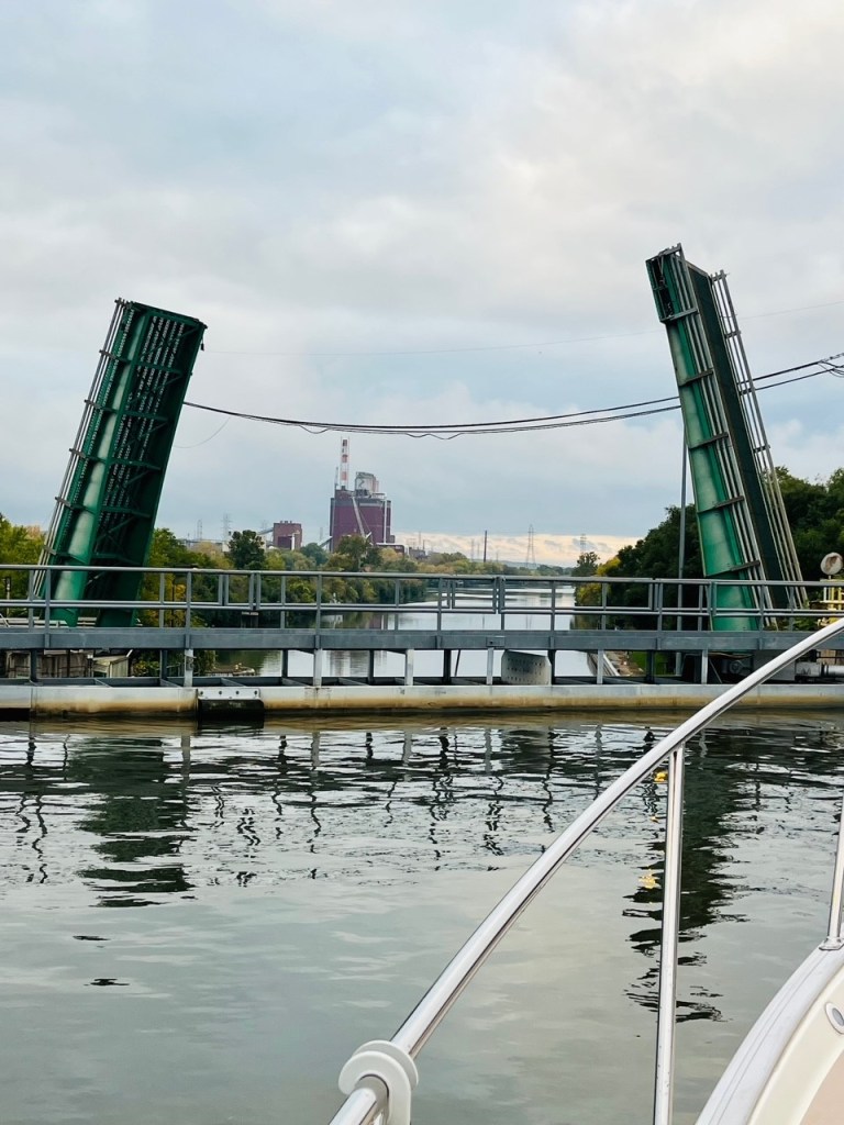
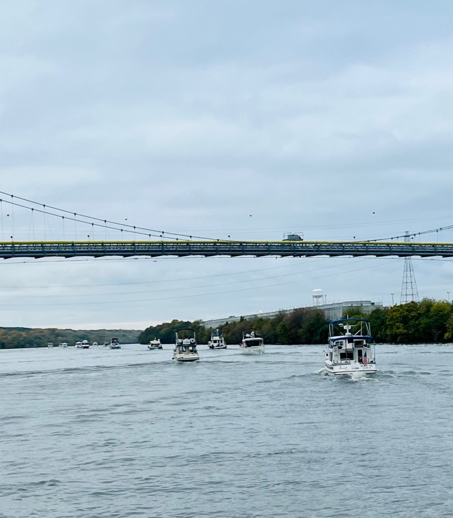
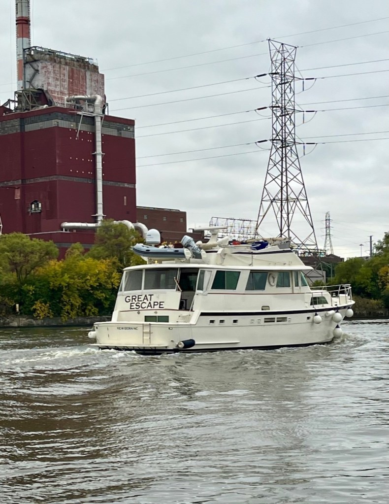
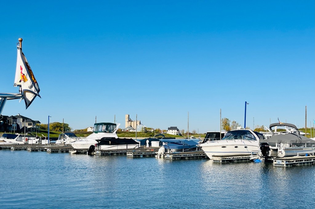
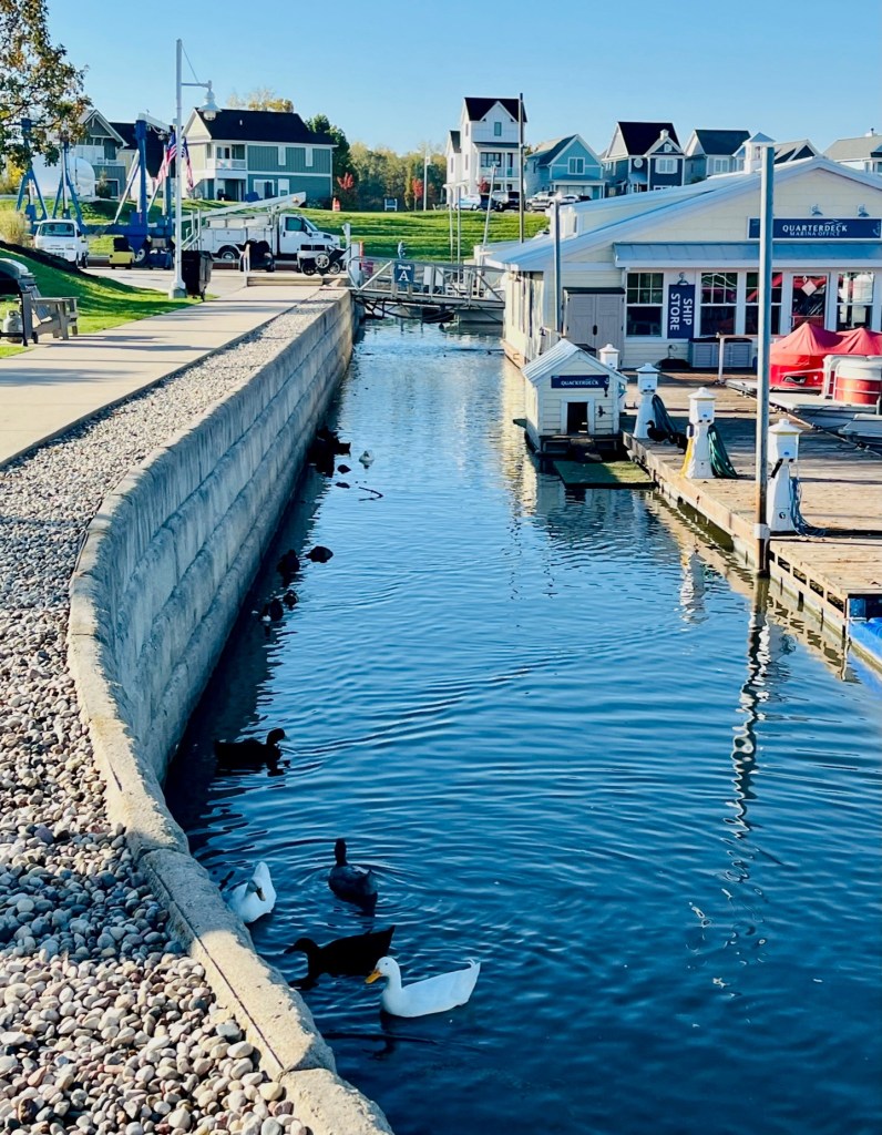
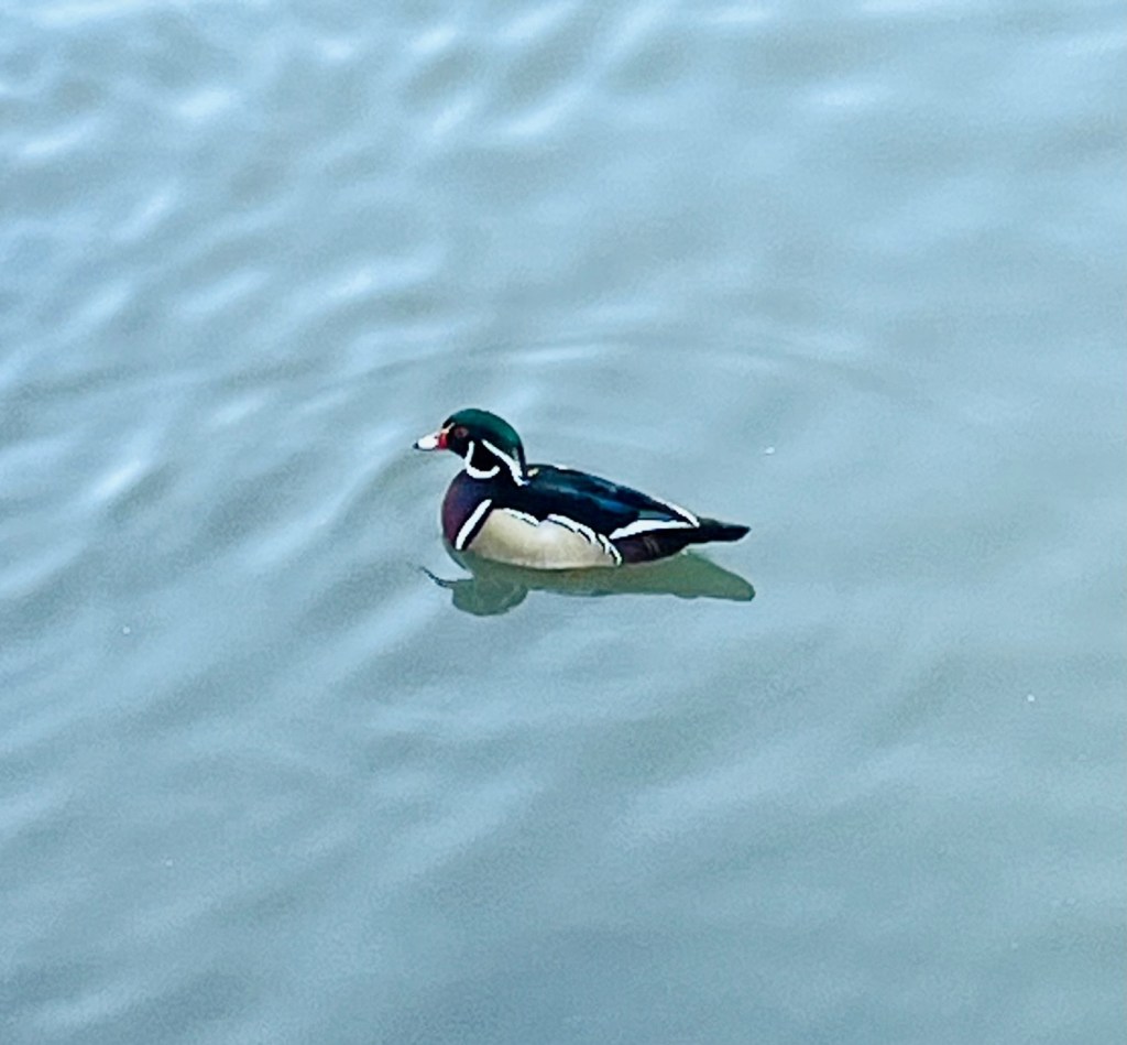
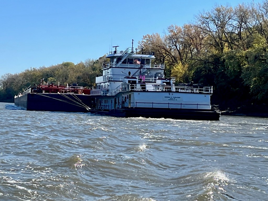
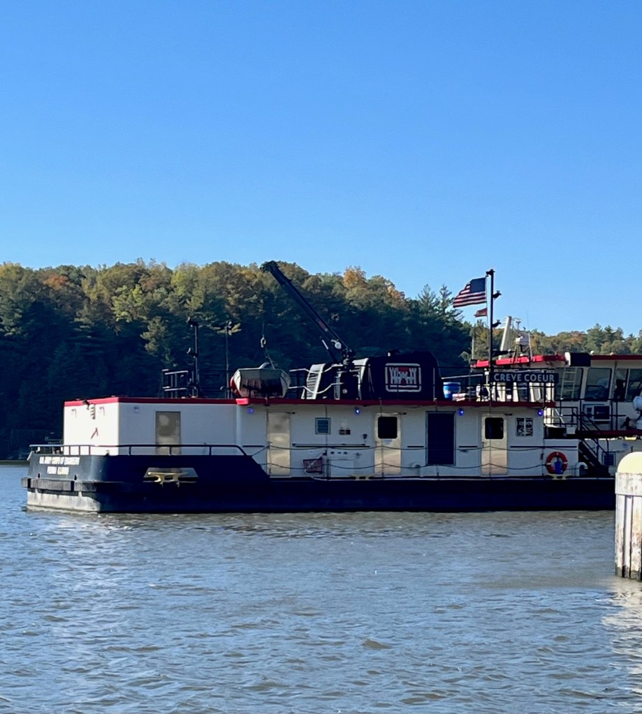
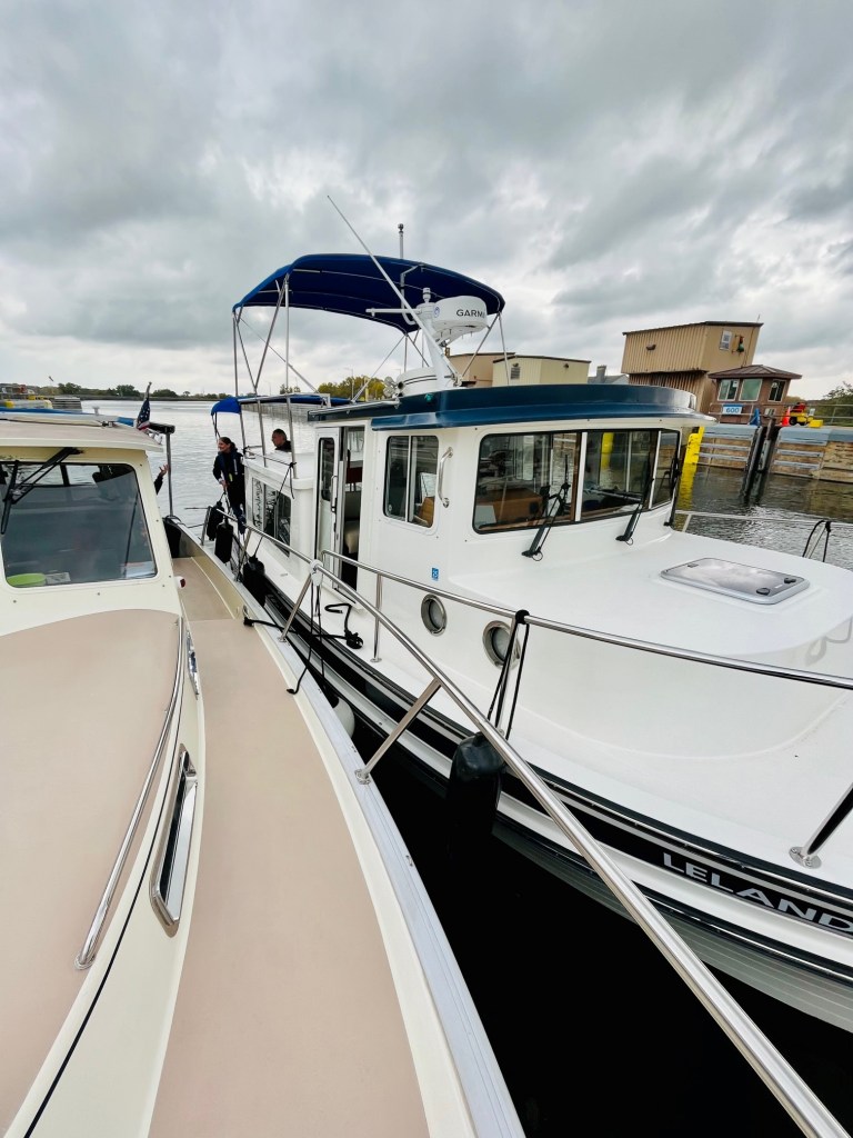
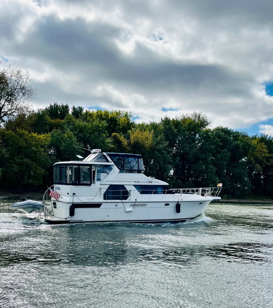
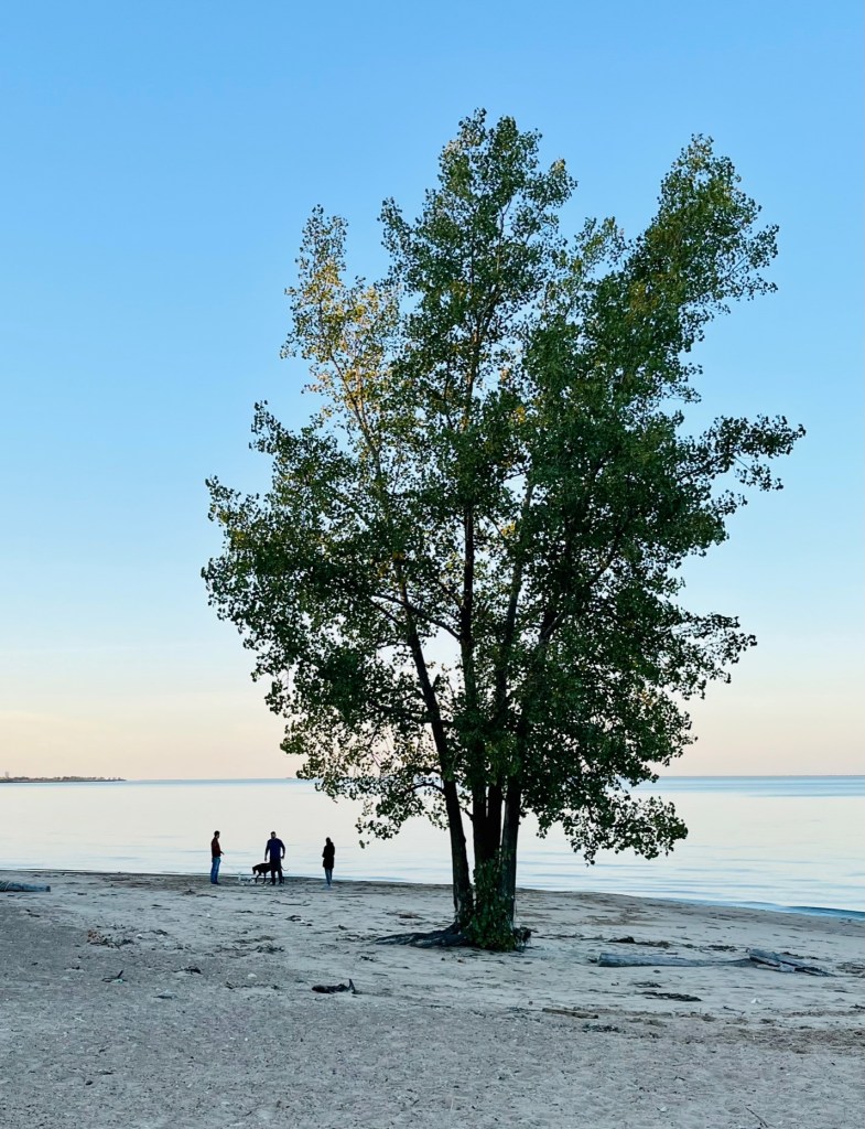
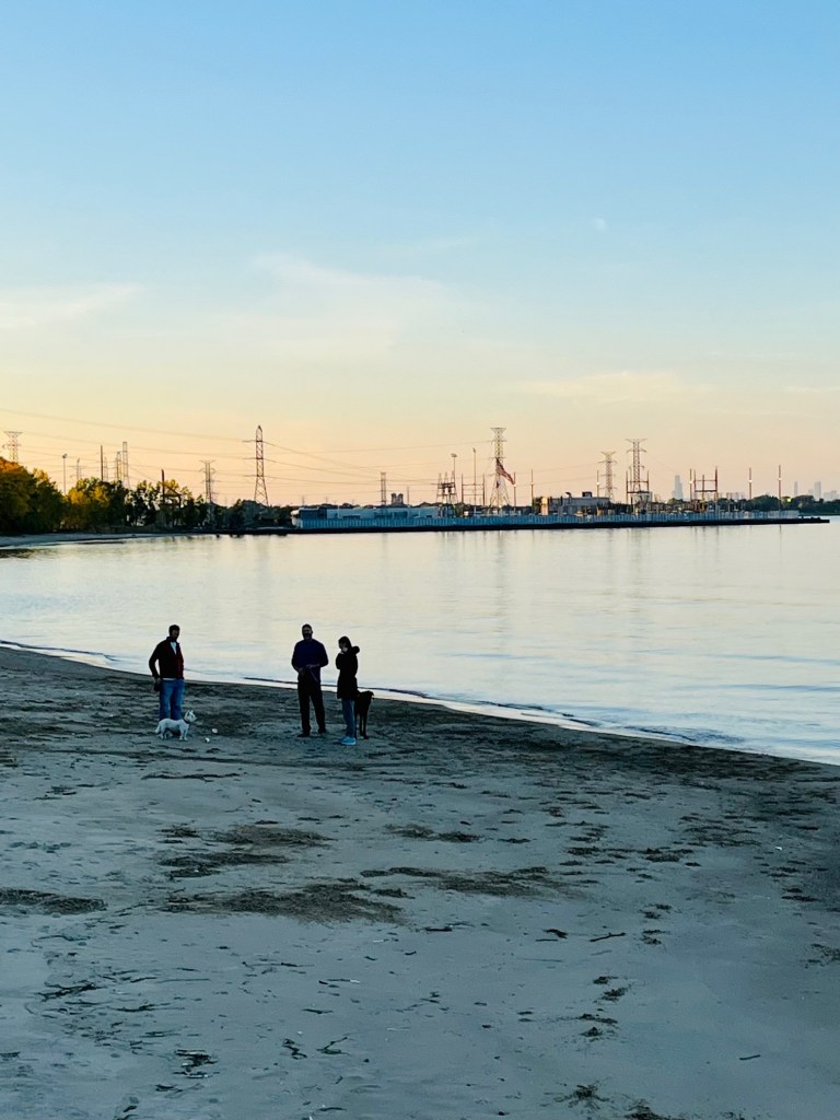
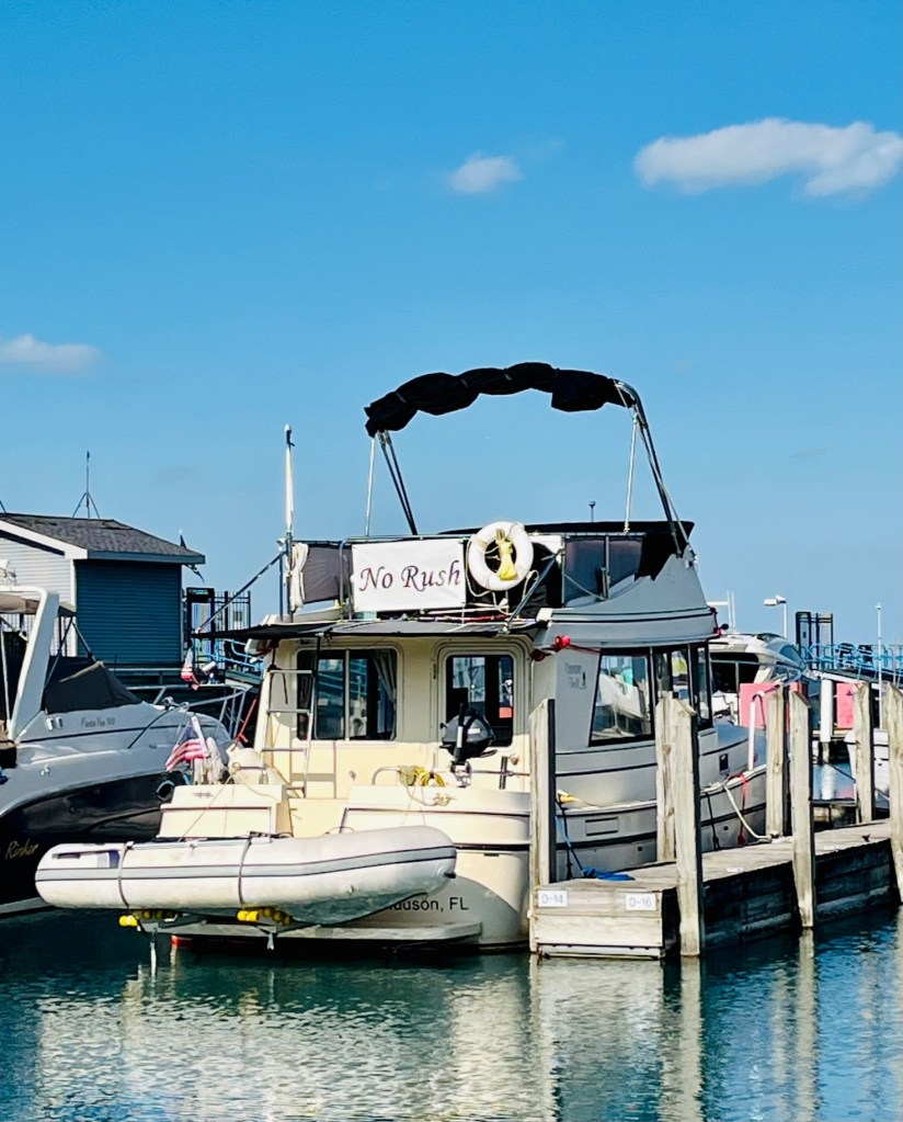
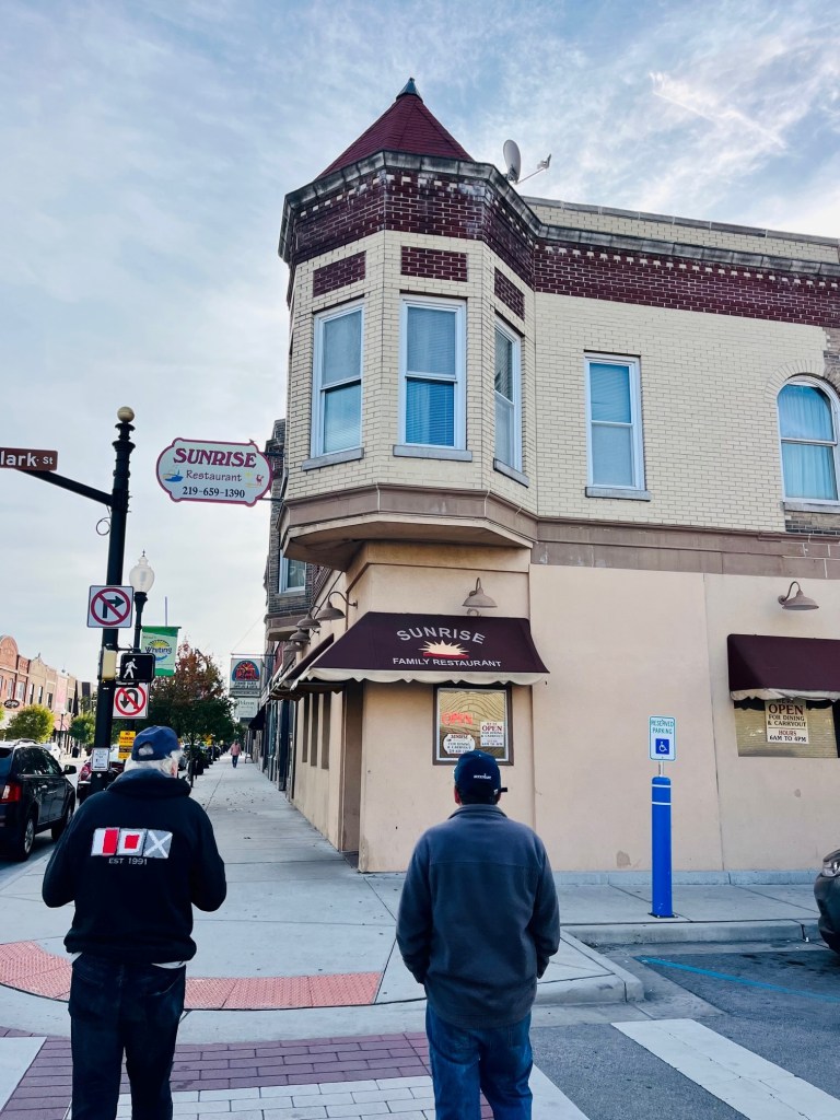
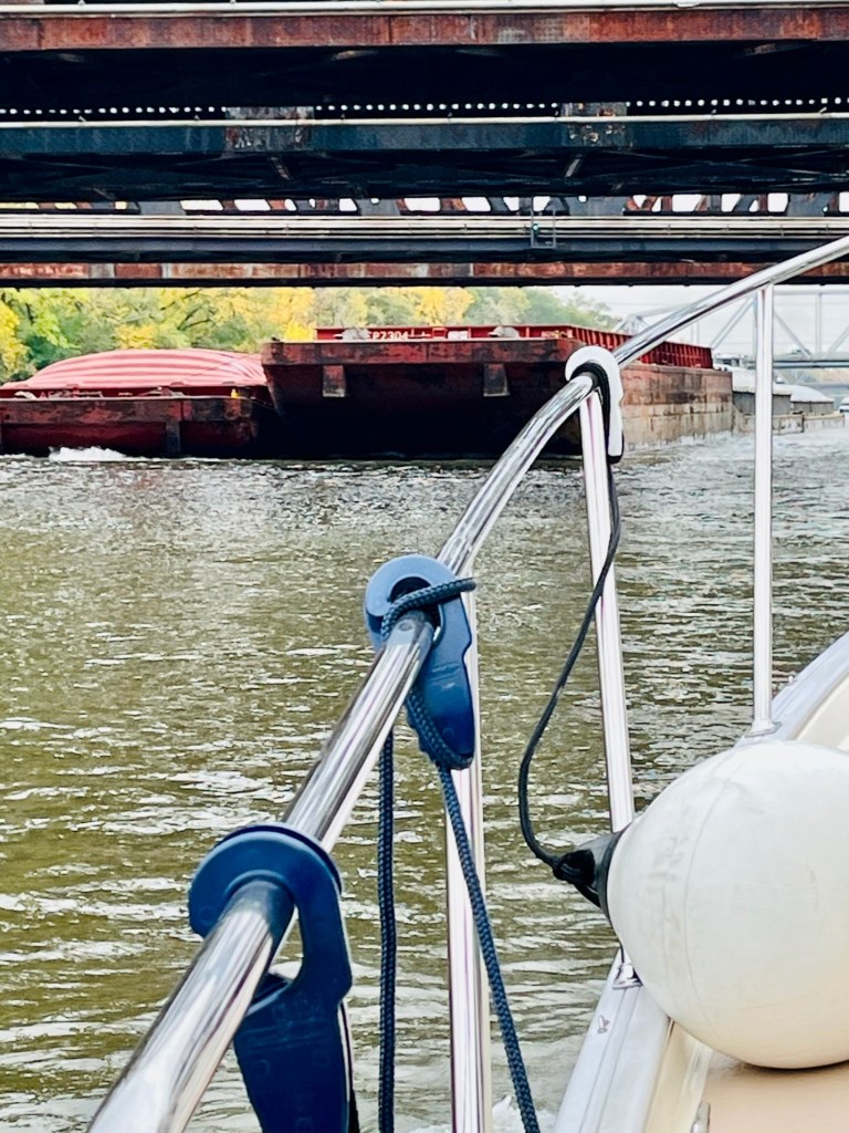
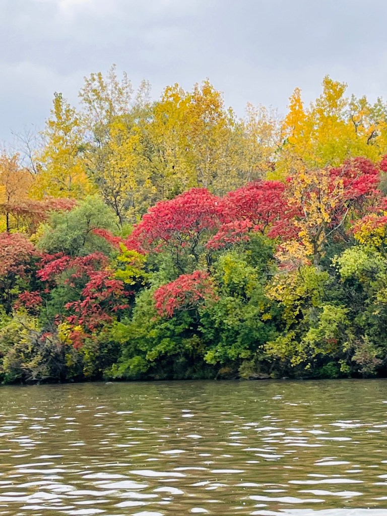
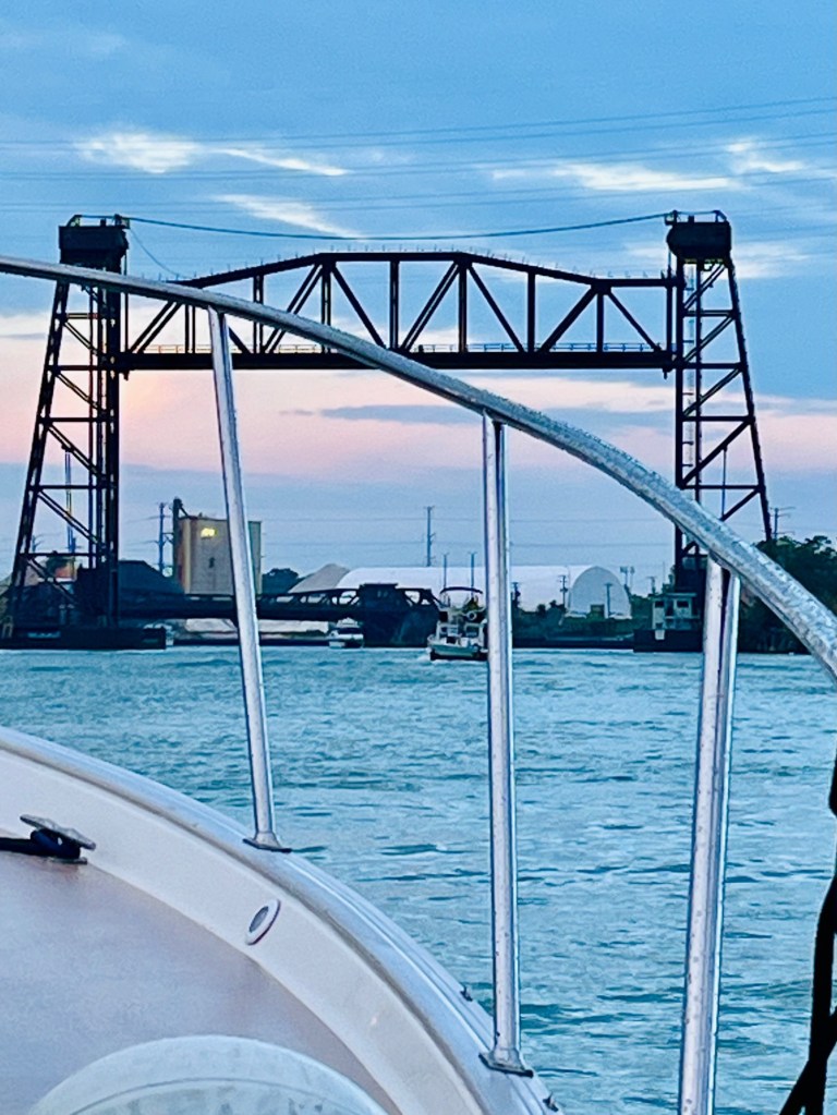
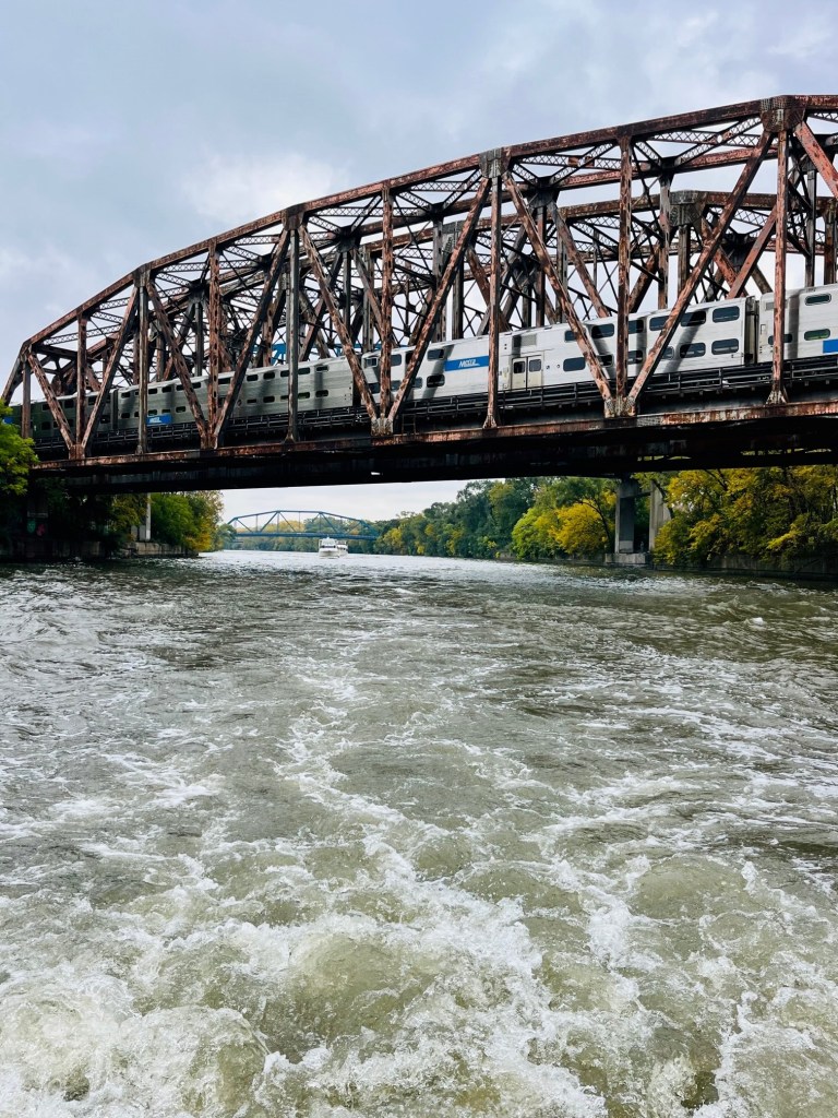
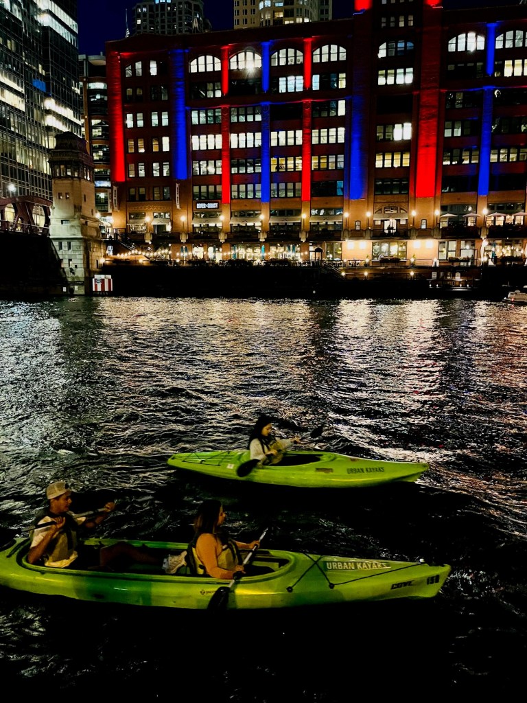
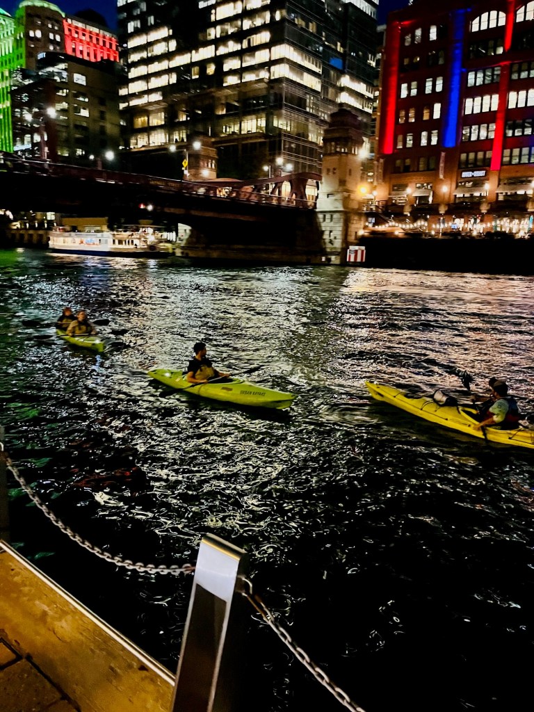
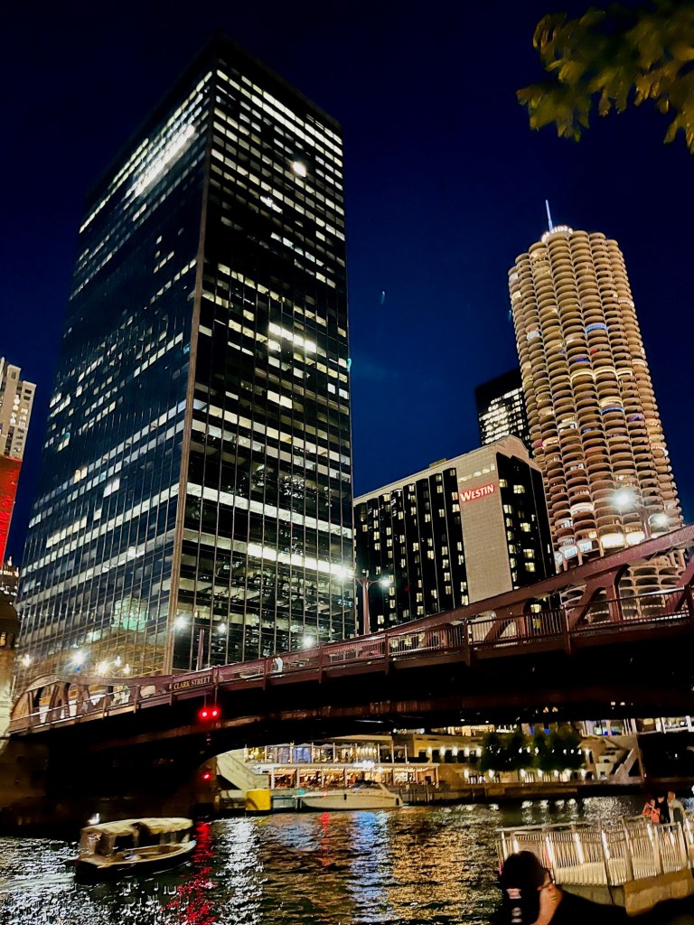
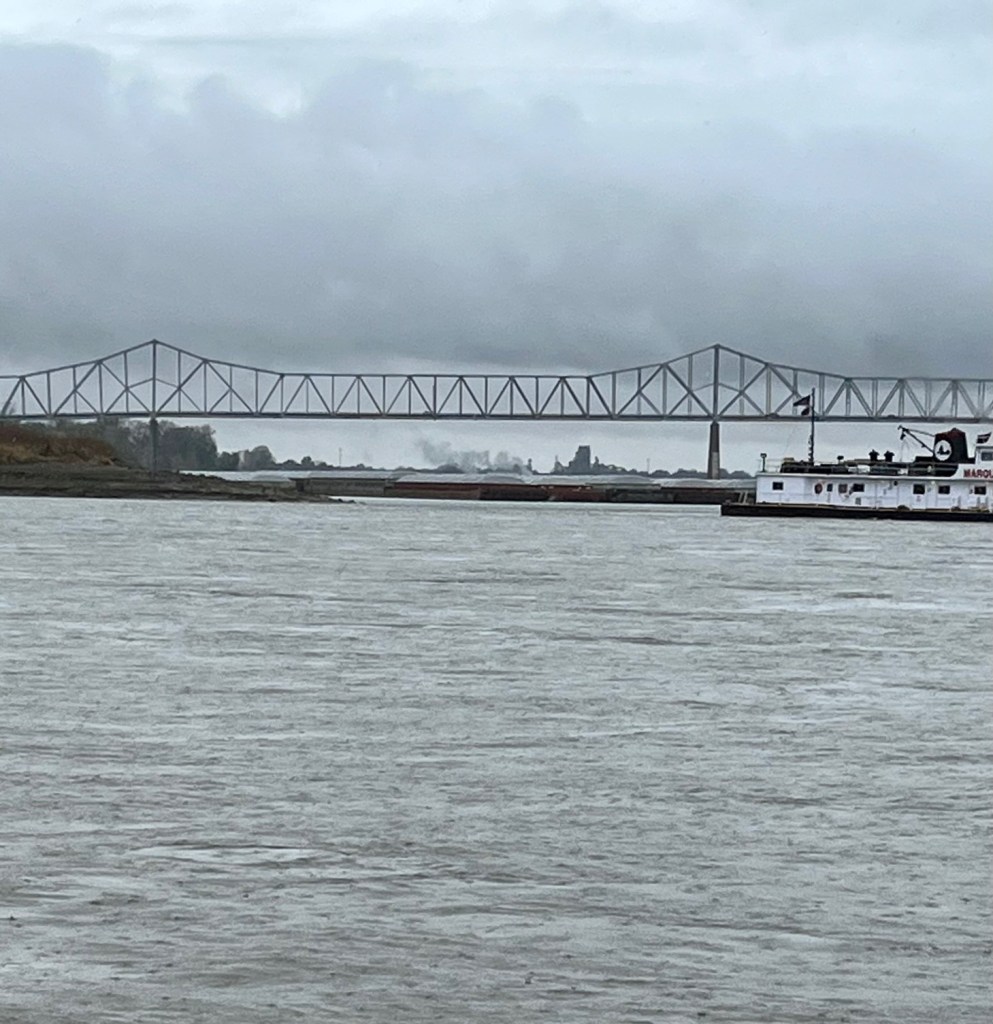
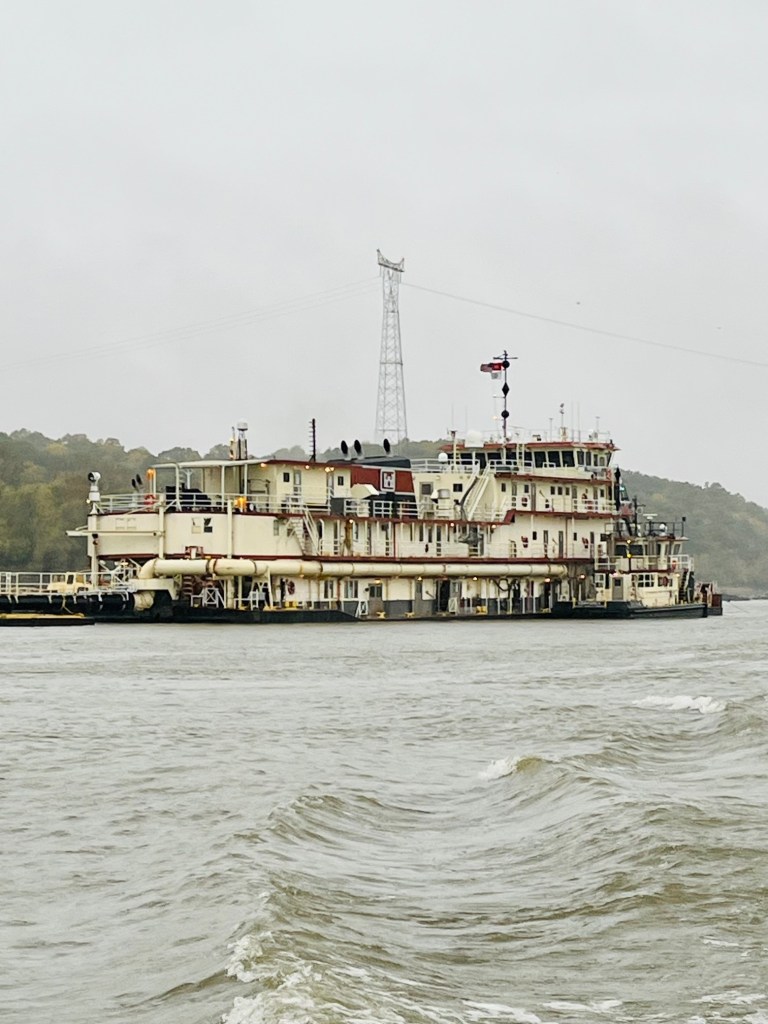
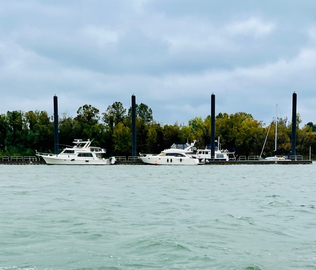
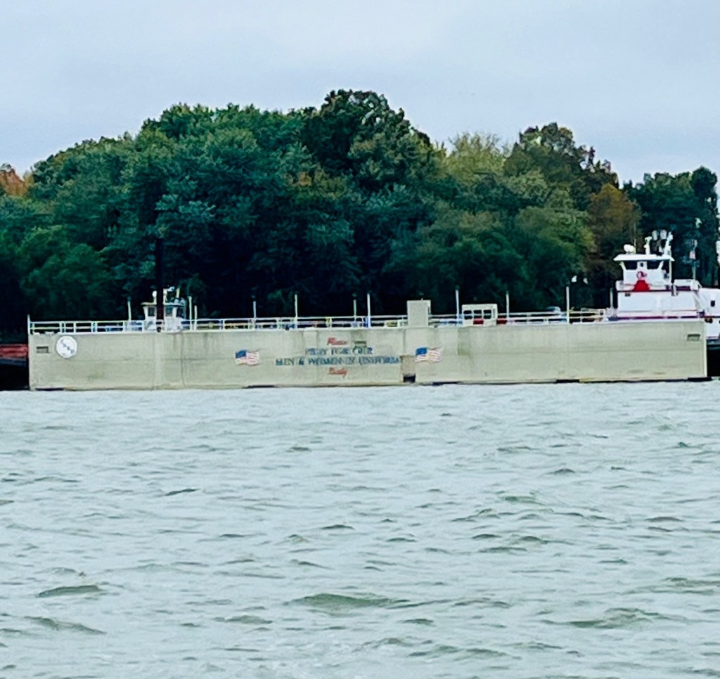
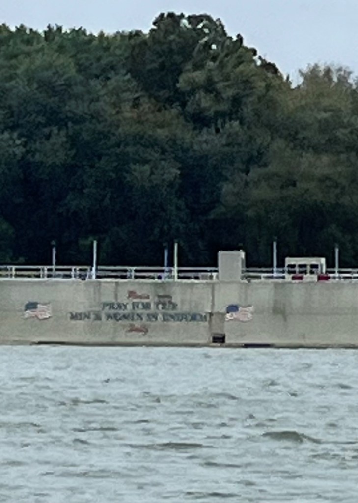
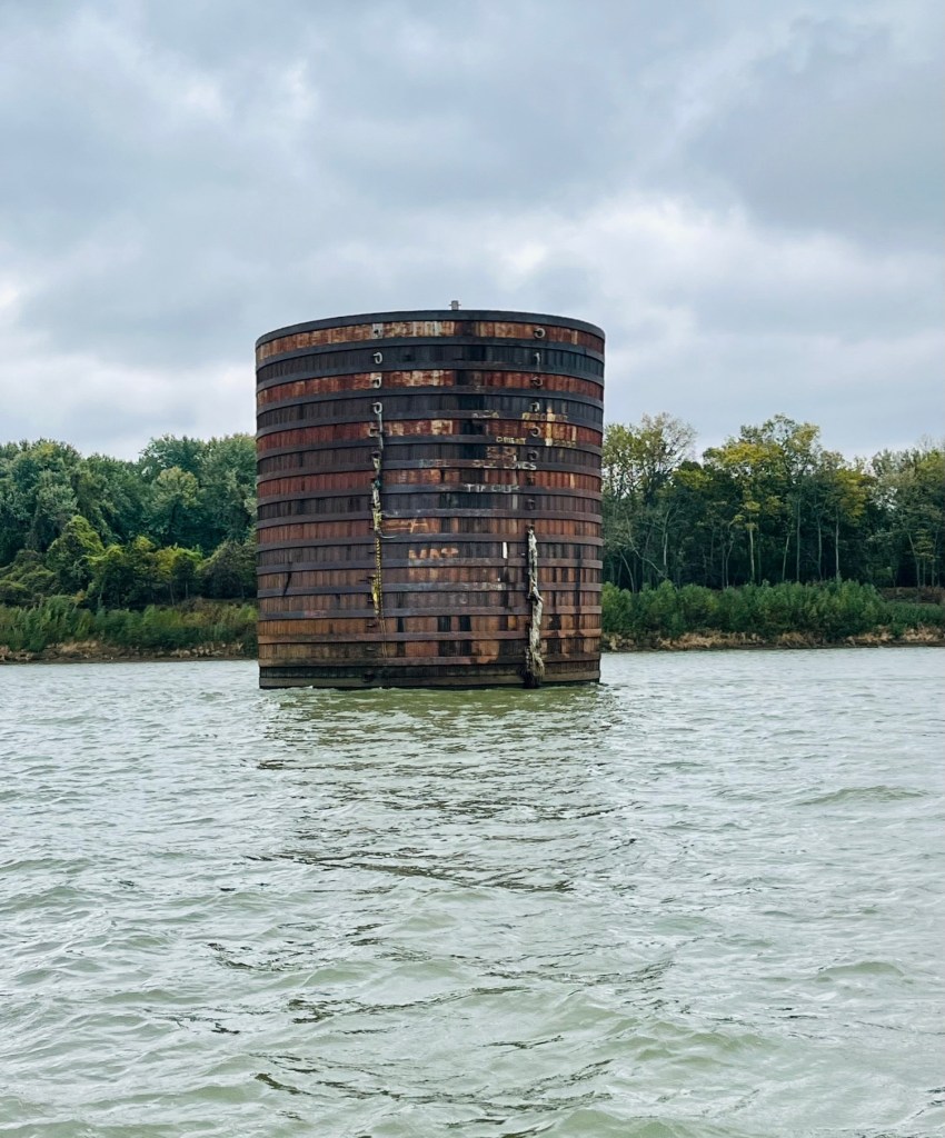
Here are more photos from our voyage to Paducah:


Here’s a bit about the rivers:
The Tennessee River originates near Knoxville, Tennessee at Mile 652. It flows south into Alabama, proceeds westbound through Alabama, then turns north to Pickwick, Tennessee, to Paducah, Kentucky at Mile 0 where it flows into the Ohio River.
The Cumberland River originates at Mile 678. It flows through Nashville, Tennessee, then west and northwest to Smithland, Kentucky at Mile 0 where it also flows into the Ohio River.
The Tennessee and Cumberland Rivers are only about two miles apart at Grand Rivers, Kentucky, near Green Turtle Bay Marina. A man-made canal makes it possible to cruise from one to the other between the two rivers just south of Grand Rivers.
The Ohio River is navigable and originates in Pittsburgh, Pennsylvania Mile 0 ad ends at Cairo, Illinois Mile 981 at which point it flows into the Mississippi River.
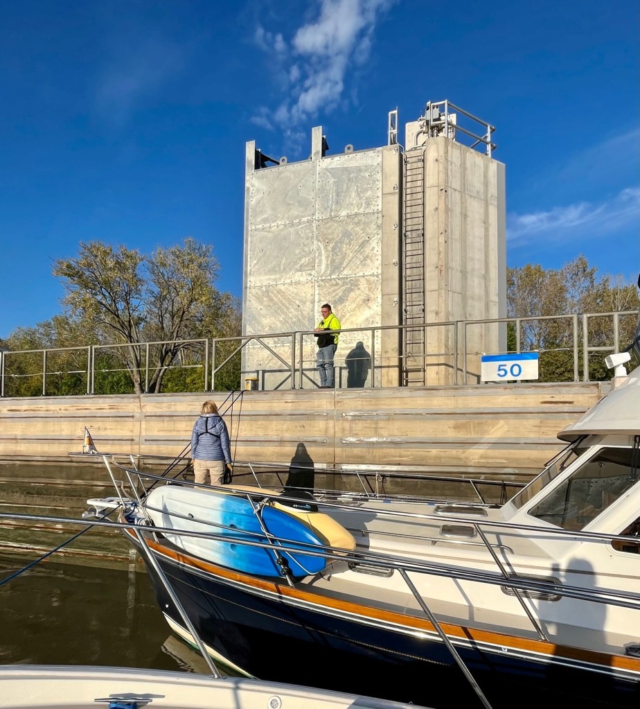
Barkley Lake and Dam

The journey to Green Turtle Bay is uneventful. We easily lock through the Barkley Lake and Dam and Sunshine is on her way to dock at Green Turtle Bay!