Trying to get to Lake Okeechobee!
December 10 – 17, 2023
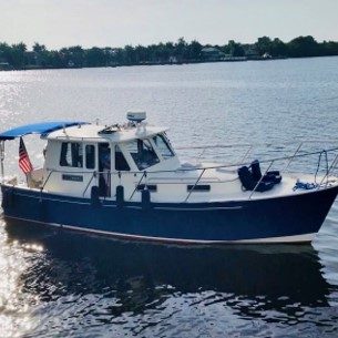
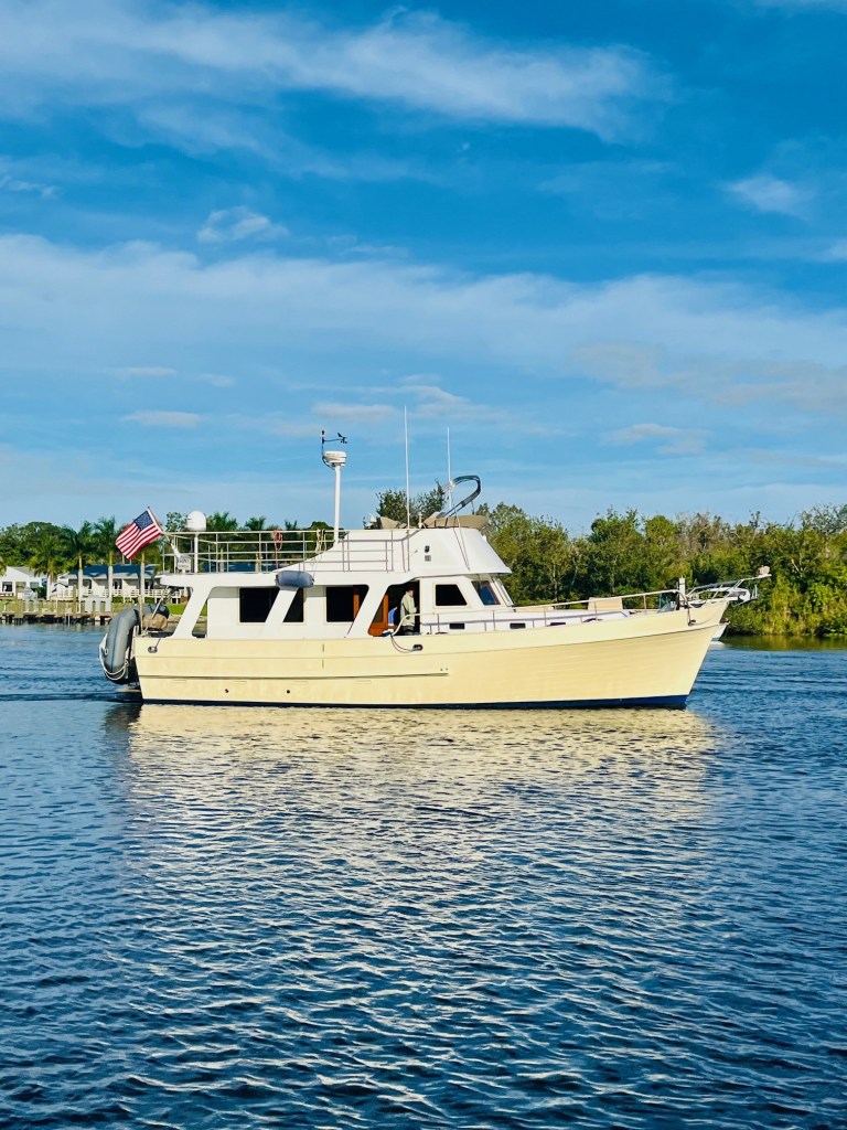
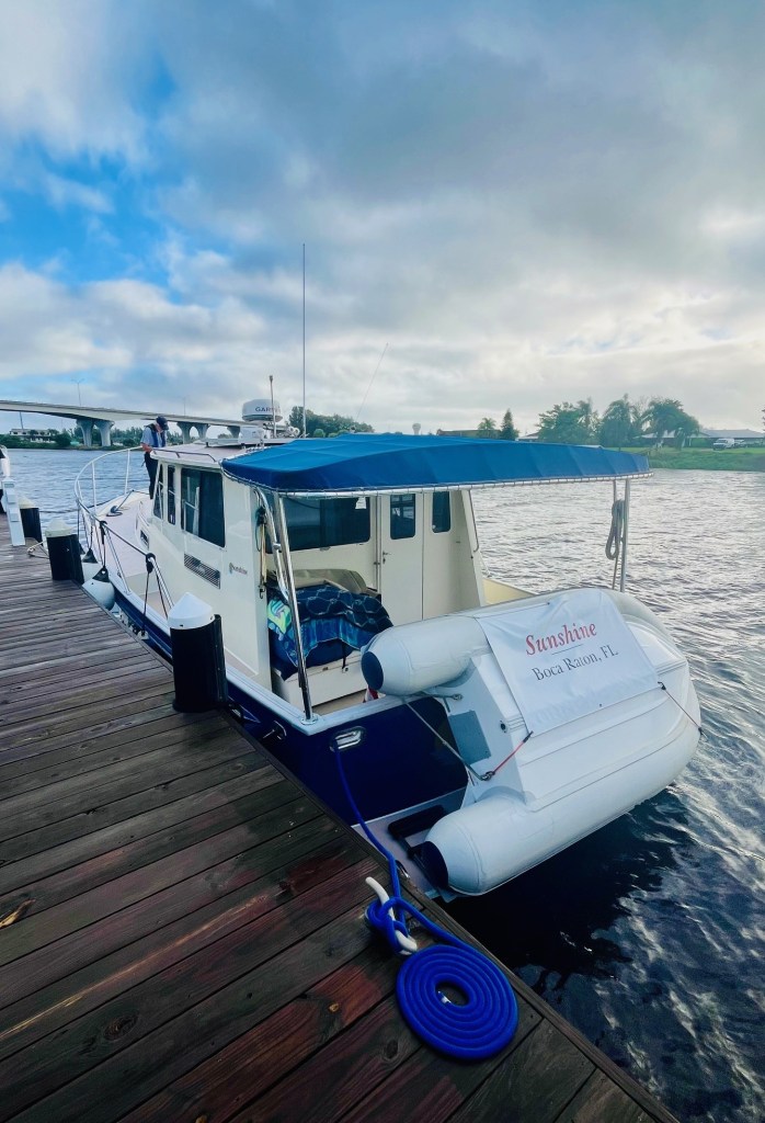
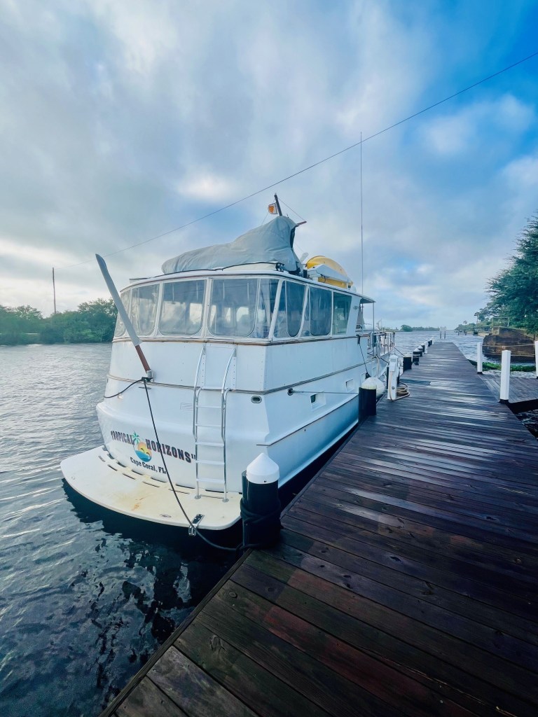
We are feeling great. Sunshine’s port engine is up and running thanks to Frank. We leave Port Sanibel Marina, headed for the Franklin Lock, the first of five locks as we journey the Lake Okeechobee Waterway.

About the Lake Okeechobee Waterway
The Great Loop route across the Okeechobee Waterway is 154 miles. A series of five locks help you through this inland waterway across the lower peninsula of Florida.
The locks are: Franklin, Ortona, Moore Haven, Port Mayaca, and St. Lucie.
The canal depth of the waterway is approximately eight feet, and the width of the canal varies from 80 to 100 feet.
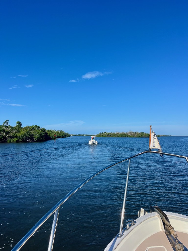
Loopers access the waterway from the Gulf ICW (Intracoastal Waterway) at Ft. Myers. This route shortens your trip to the east coast bypassing the Florida Keys.
Lake Okeechobee is the second largest freshwater Lake entirely in the United States. It is second only to Lake Michigan. Of course, this is because the other Great Lakes share borders with Canada.
Lake Okeechobee is 30 miles wide from east to west. There are two routes across Lake Okeechobee. The most direct is the “open water Route 1;” the other is the Rim Route 2. There is only 11 miles difference between the two routes.
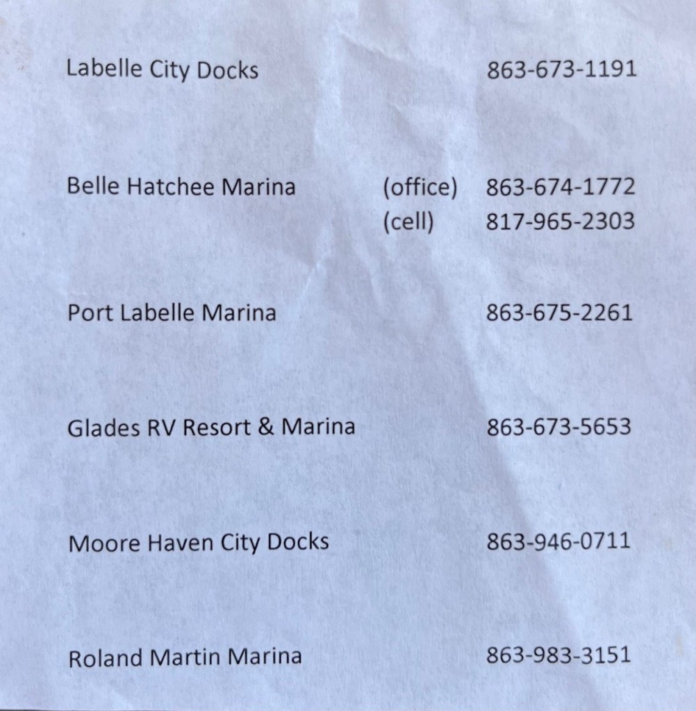
The Rim Route offers more protection from winds and choppy waters, but it takes more than an hour longer. On either route, we are told Clewiston is a worthwhile stop, as it offers Roland Martin’s Marina.
Departing Port Sanibel Marina – Ft. Myers
As we contemplate leaving Port Sanibel Marina, Captain Pat remembers the shallow channel and the misleading markers we will have to take. At the dock our two guys about to leave in their fishing boat. They appear to be locals.
Captain Pat asks them if we can follow them out of the marina. They of course oblige. We are grateful to follow in their wake.

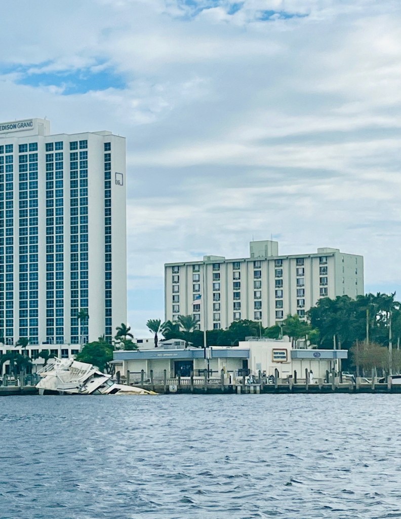
We make it to the Caloosahatchee River safely and are saddened by the devastation of Hurricane Ian that hit Ft. Myers a year ago September.

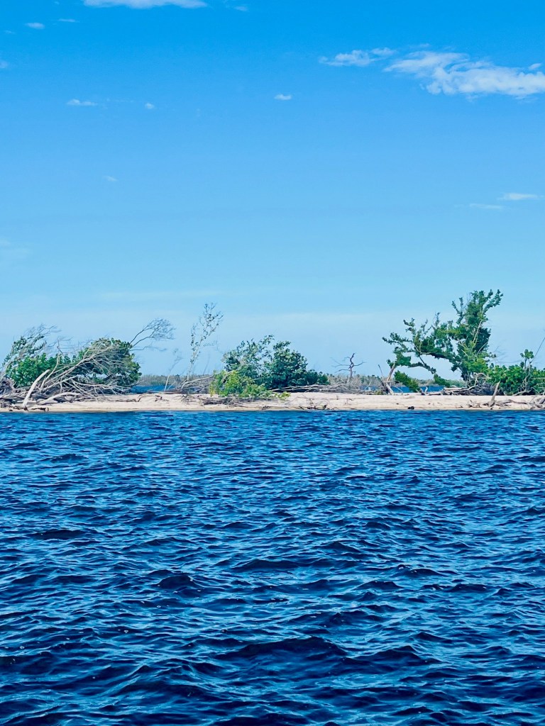
The city docks are flattened and there are still boats submerged.

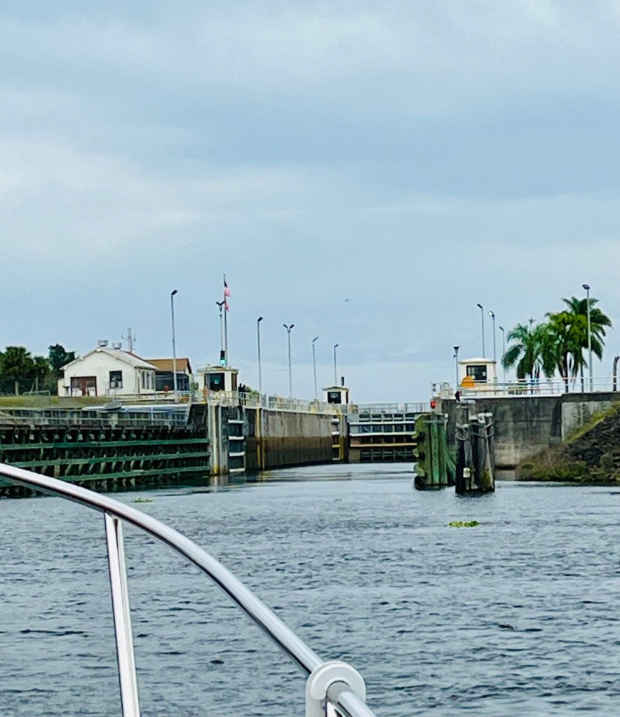
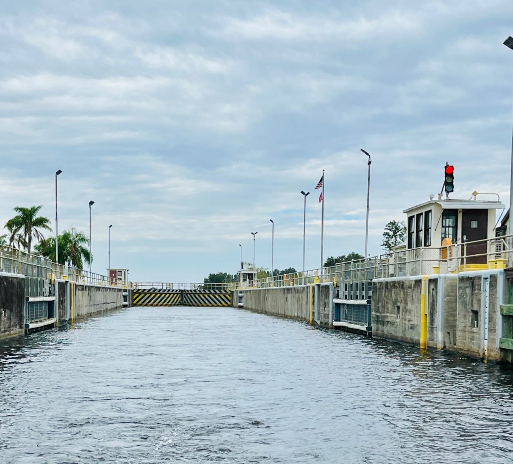
Franklin Lock
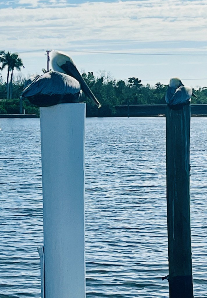
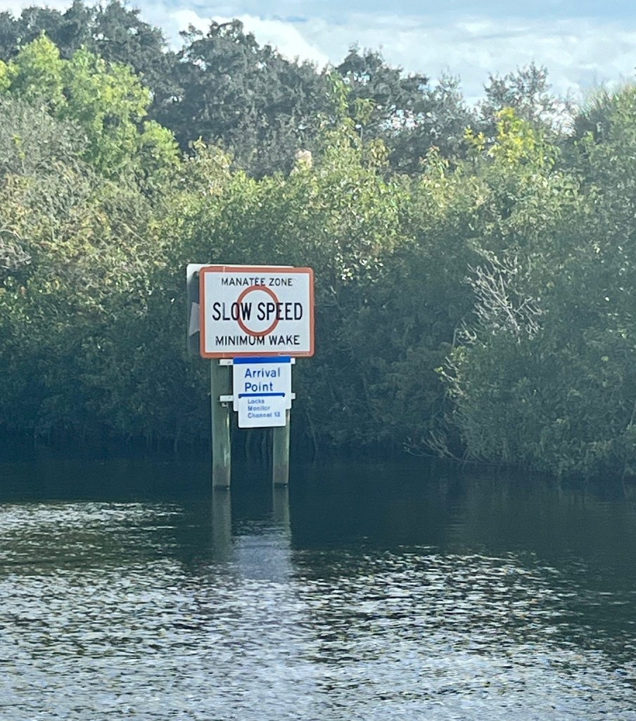
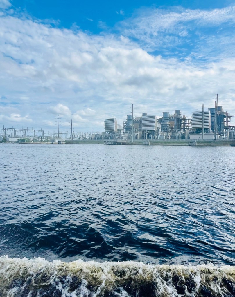
We enter a “slow speed, manatee zone” and are on the lookout – but no manatees. There is a plant nearby, the manatees like the water that it supplies.
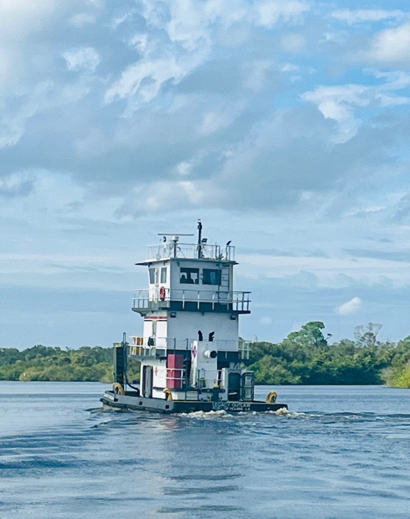
We radio the Franklin Lock and learn we have to wait for a tug who is exiting the Lock.
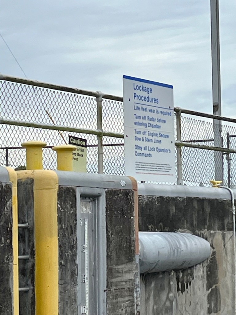
This lock is so much easier than the river locks. It is smaller and you use their lines. The woman lockmaster is friendly and gives us a list of places we can stay along the Caloosahatchee River.
She also tells us that in the future locks it is best if we hook our line on a cleat (don’t tie off, just hold) for leverage. The next lock will have several feet of water pouring in fast. We thank her for her useful information.
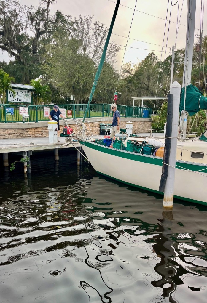
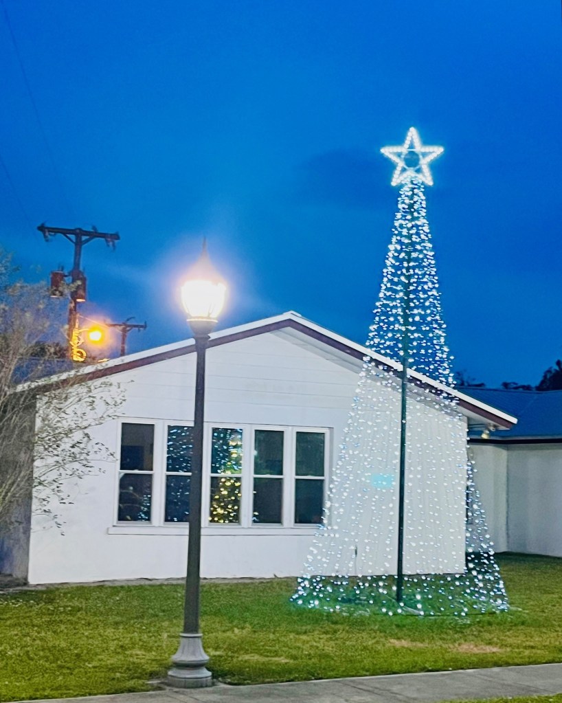
LaBelle City Dock
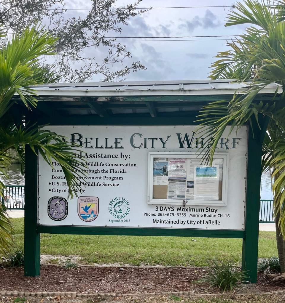
We are making great time so we decide to keep going and get a dock slip at the LaBelle City Dock. We call and learn you reserve on Dockwa. These slips used to be free. Now it is $30/night. Still a bargain, with electricity and water.
Thank goodness as we approach our slip there are two boaters there to help. We have to dock bow in, and for the first time there is not a dock on our right or left. So to exit the boat we have to jump off the bow onto the dock. I am glad there are no photos of the Admiral doing this. It is not pretty. But doable.

Mother Nature Strikes Again
As luck would have it – the winds are back with a vengeance. So much so we cannot cross Lake Okeechobee until next week! This is not comforting news.
We can only stay at the LaBelle City docks for three nights. That is their limit – no exceptions. We make reservations for Wednesday through Saturday at the Riverhouse Marina in Moore Haven. We hope to be in Clewiston – Roland Martin’s Marina – on Sunday. This is the last stop before crossing Lake Okeechobee.
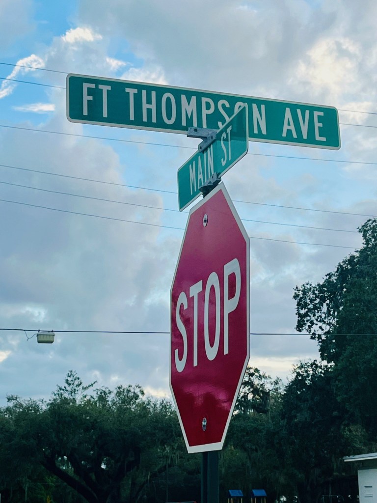
The City of LaBelle
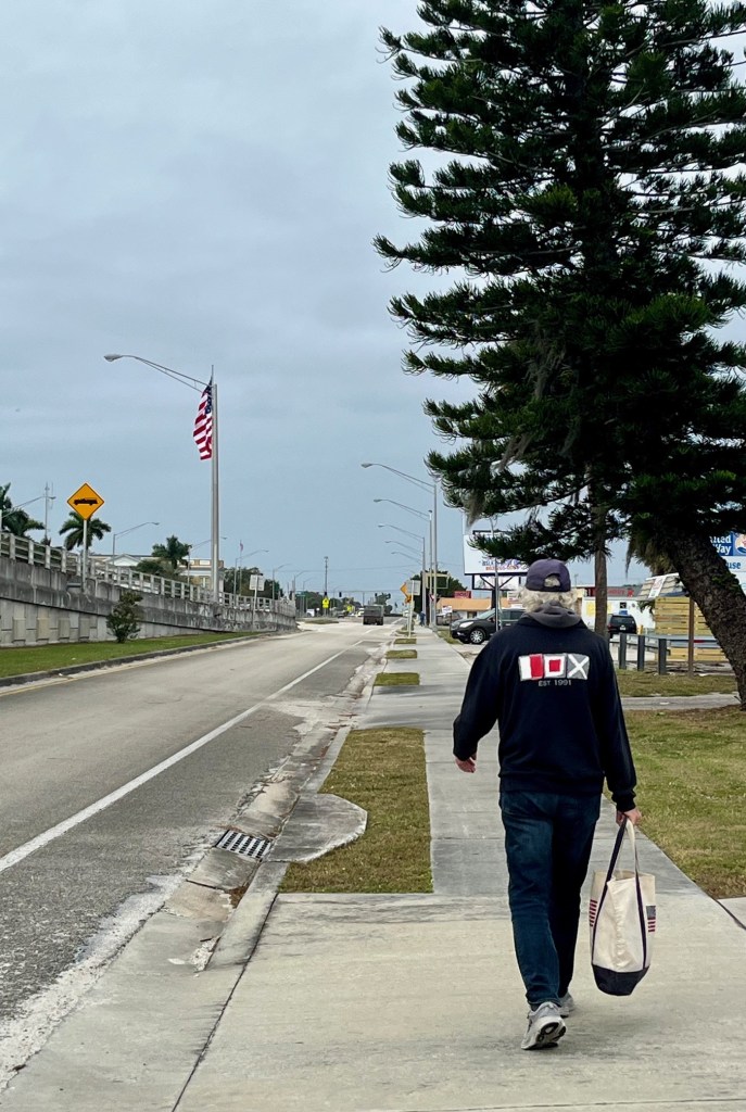
Our fellow boaters at the marina tell us there is a coffee shop, a grocery, the post office, and a restaurant all within walking distance of the marina. This is good news.
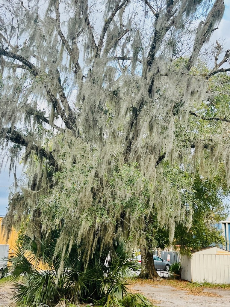
I take a walk and the first thing I notice is the Spanish Moss hanging from the trees. It is neither Spanish nor a moss – so its name is misleading. It looks mysterious and intriguing to me.


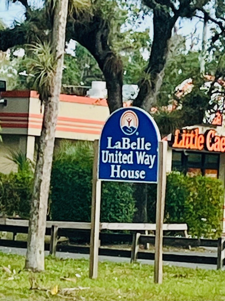
I discover that there is an abundance of fast food restaurants – McDonald’s, Burger King, Taco Bell, Little Caesar’s – even a Dunkin’ Donuts further down the Highway!
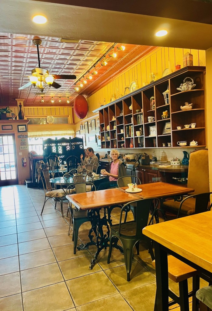
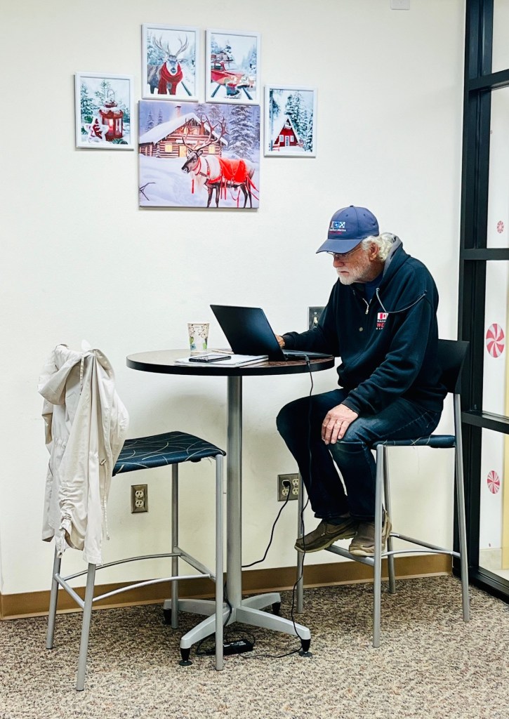
The coffee shop turns out to be my writing haven for the next two days. It is cozy and the staff are welcoming.

I take my correspondence to the Post Office (yes, I still use snail mail.) There is a line of people at the post office. People are mailing Christmas cards and gifts, and this is where Amazon delivers its packages!

People are chatting away. It’s obvious everyone knows each other. I love the familiarity of a small town and feel at home.
Captain Pat to the Rescue
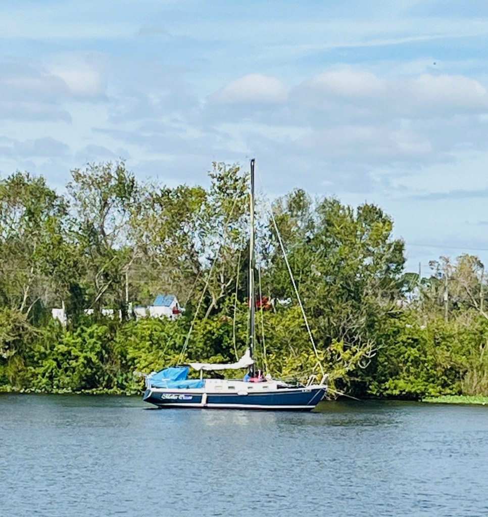
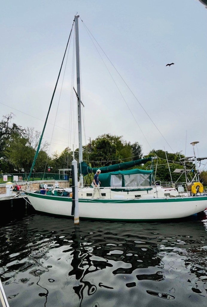
I come back to the boat and discover Captain Pat is helping a sailboat dock.
Turns out the woman’s name is Kathleen – Pat’s sister’s name! This Kathleen is adept on a sailboat. She is busy securing the boat, hooking up the water and electricity, tidying up.
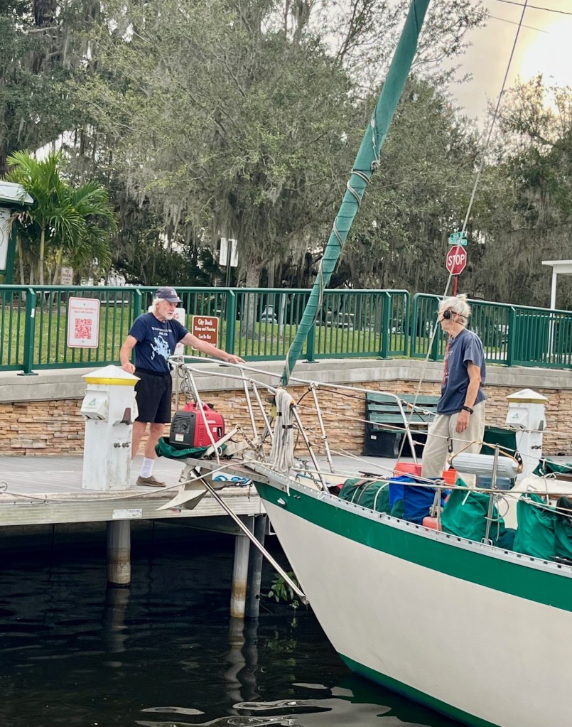
We never see her husband. Captain Pat probably thinks I could learn a few things from her.
I am sad to leave LaBelle Wednesday, but I think Moore Haven will be another small town with some nice places to hang out in.
Am I ever wrong!
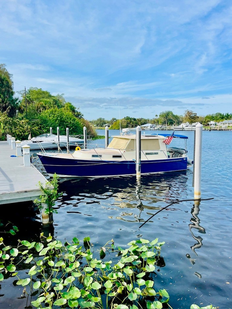
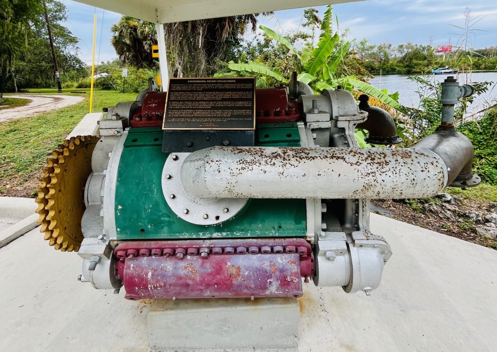
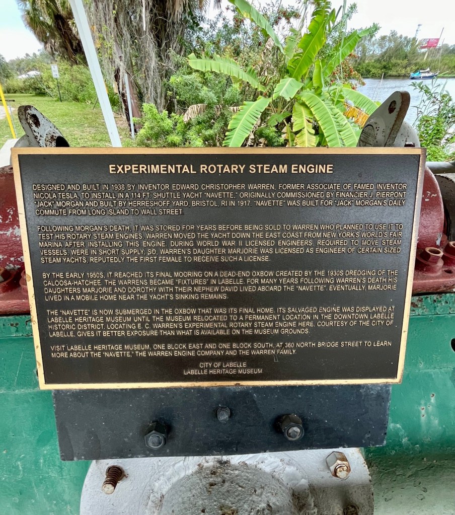
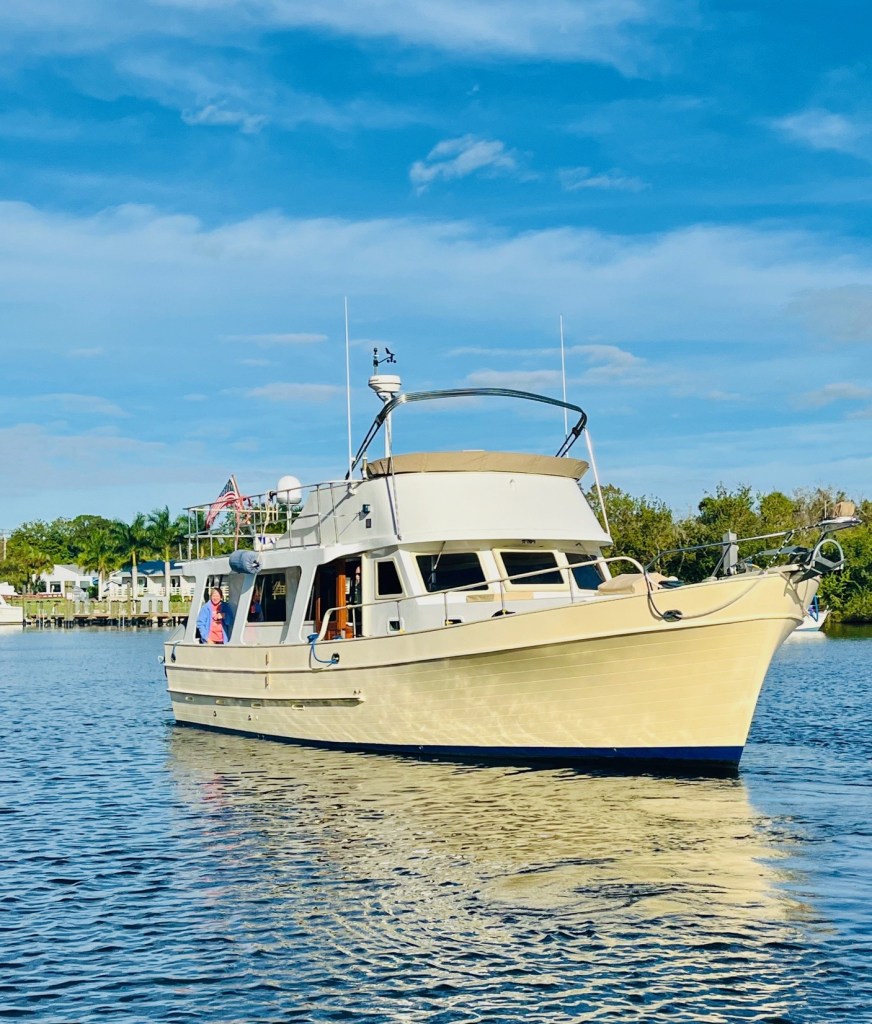
Here’s a bit about the city of LaBelle and some more photos from our visit.
LaBelle is a city in and the county seat of Hendry County, Florida, United States. The population was 4,640 at the 2010 census. It was named for Laura June Hendry and Carrie Belle Hendry, daughters of pioneer cattleman Francis Asbury Hendry.
LaBelle began as a settlement on the Caloosahatchee River around the time of Hamilton Disston’s efforts to drain the Everglades with the hope of promoting growth. The settlement, which lay on the western edge of Captain Francis A. Hendry’s large Monroe County property, was initially populated with cattle drovers and trappers.


Moore Haven, Florida
Wednesday morning we bid our neighbors Woody and Lynn on Mayorca good bye. They leave the marina first, headed to the gulf coast.
We exit the marina and Ortona Lock awaits us.
Again, we are the only boat in the lock. Just as the previous lock master had informed us, in this lock the water rushes in fast and furious. We hook the line on our boat cleats and hold on for dear life. We are glad to see the lock doors open.
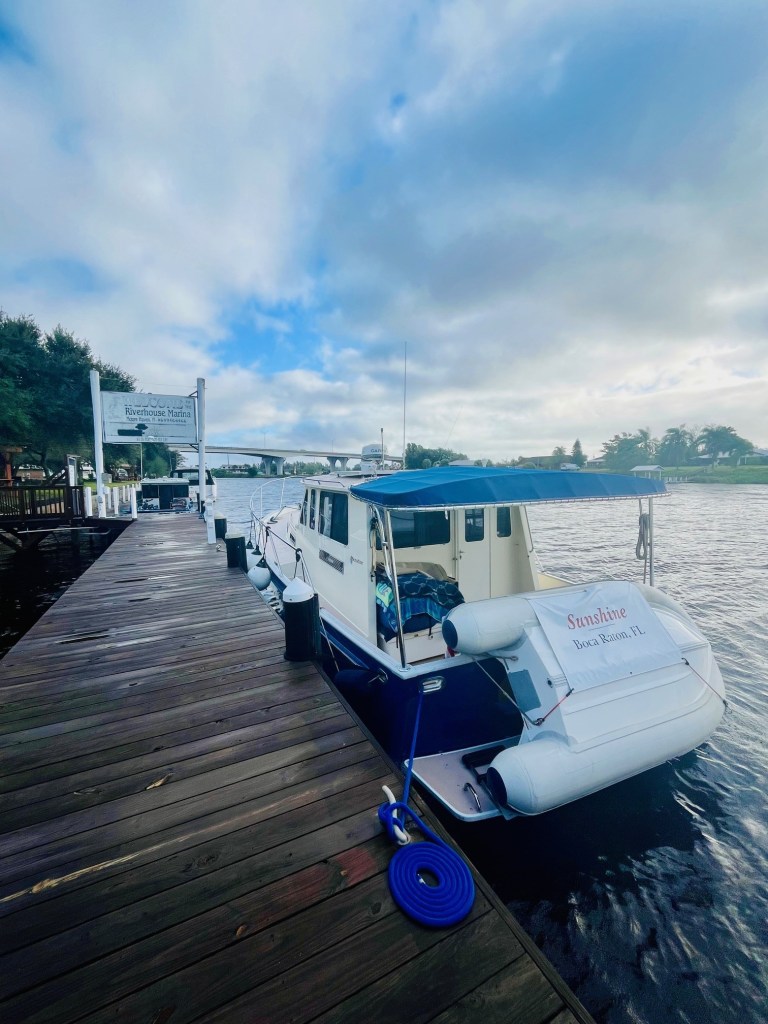
Riverhouse Marina in Moore Haven
We call the marina owner, Bob Holden, to find out our slip number. We learn he is very hands off but always reachable by text.
He explains where to tie up and texts us a list of security codes, the WiFi password, etc. Unbelievably this turns out to be the best 5G internet service we’ve encountered on the Loop.
That’s the only saving grace of this marina – and town.
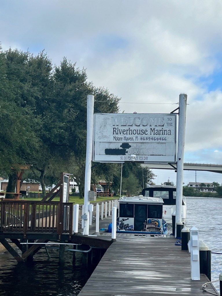
This is the most desolate town we have visited. It is depressing to see all the businesses shuttered. There is some construction, by the waterfront.
We visit one Mexican restaurant, that has no tables. The Italian restaurant turns out to be ok. These are your only two options for dining out.
The one haven is the Library, just steps from the boat. One day Pat gets a text from our Looper friend, Bill. He notes from Nebo we are in Moore Haven. He tells us he and Margie were there “and the only thing there is the library.” At that very moment Captain Pat was at the library, reviewing the Admiral’s blog post!
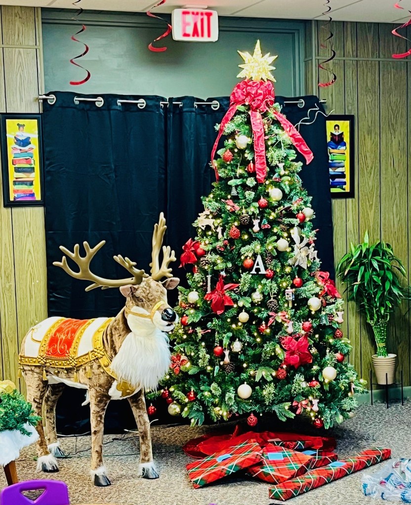
The library staff is so nice. They are busy decorating for Christmas and wrapping gifts for the children.

I thought Captain Pat was going to go stir crazy before we left Moore Haven. He spent most of his day reading and resting. He is not used to that!
We are both ready to leave Moore Haven, and get started on our journey across Lake Okeechobee. Than home!
Here is a bit about Moore Haven, and other photos from our delightful visit there!
Moore Haven, Florida is a city in, and the county seat of, Glades County, Florida, United States. The population was 1,680 at the 2010 census.
Located on the banks of Lake Okeechobee and the Caloosahatchee River, Moore Haven offers some of the best freshwater fishing, camping and scenic hiking trails. Moore Haven is also the home of the Sour Orange and Cane Grinding festivals.


They were harbor hosts in Trent, Ontario.

One response to “LaBelle and Moore Haven, Florida”
Did know that the lake had locks
Respectfully,
Tevie Kozak
561-289-9107
LikeLiked by 1 person